WABA Tales & Trails of Prince George's Webinar
33
TALES & TRAILS OF PRINCE GEORGE’S THE BEST RIDES RIGHT IN YOUR BACKYARD
Transcript of WABA Tales & Trails of Prince George's Webinar
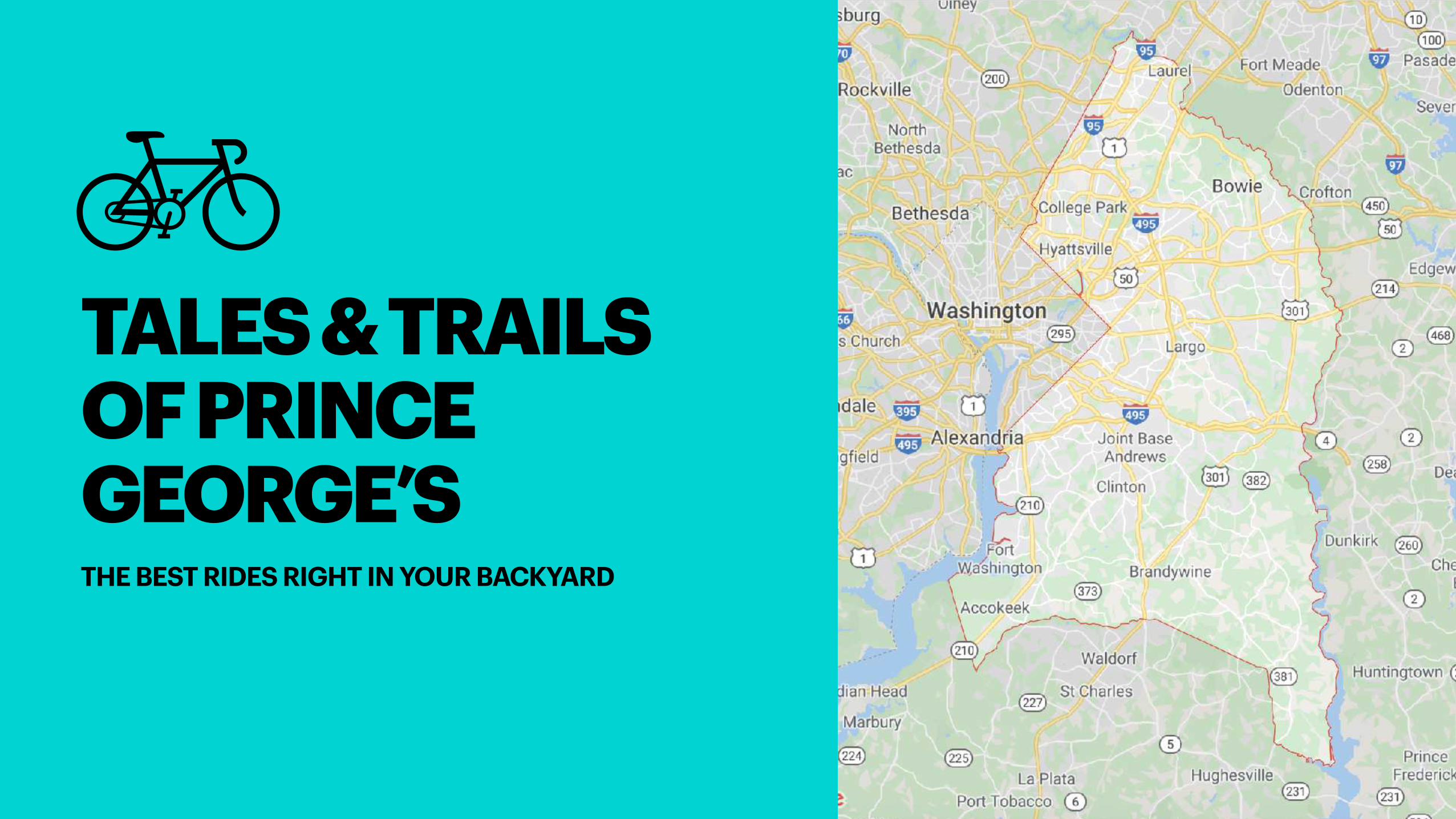
TALES & TRAILS
OF PRINCE
GEORGE’STHE BEST RIDES RIGHT IN YOUR BACKYARD
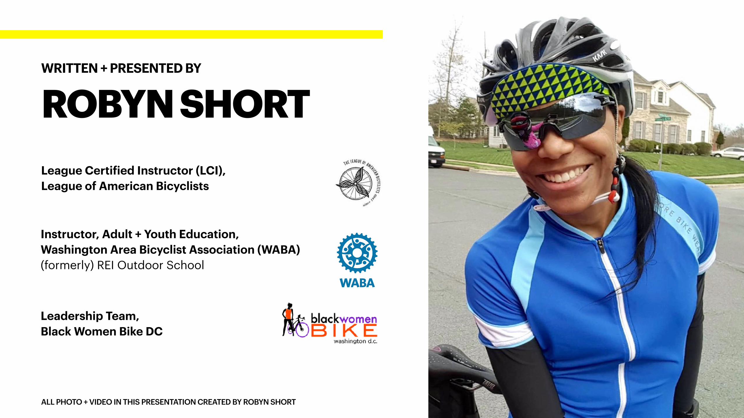
League Certified Instructor (LCI),
League of American Bicyclists
ALL PHOTO + VIDEO IN THIS PRESENTATION CREATED BY ROBYN SHORT
ROBYN SHORT
WRITTEN + PRESENTED BY
Instructor, Adult + Youth Education,
Washington Area Bicyclist Association (WABA)
(formerly) REI Outdoor School
Leadership Team,
Black Women Bike DC
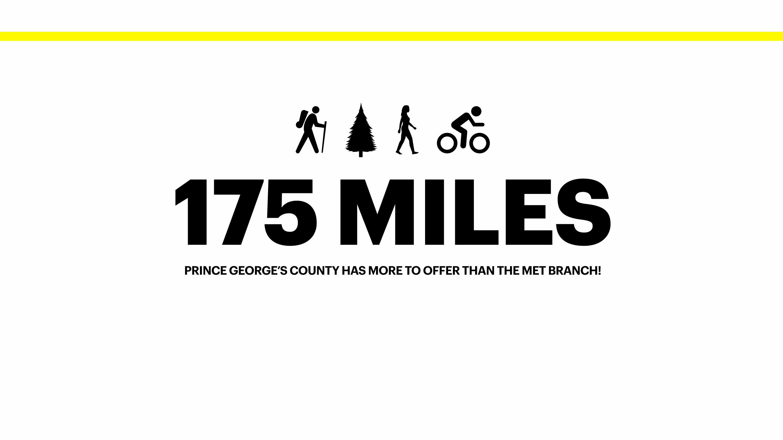
PRINCE GEORGE’S COUNTY HAS MORE TO OFFER THAN THE MET BRANCH!
175 MILES
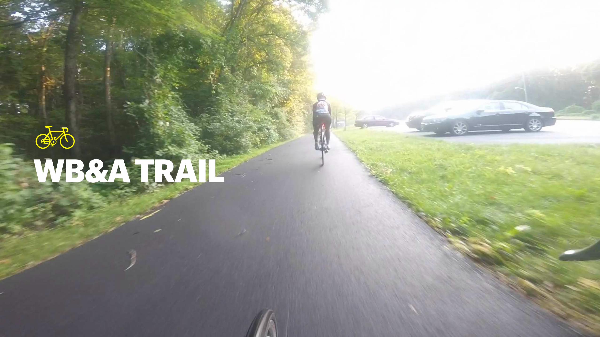
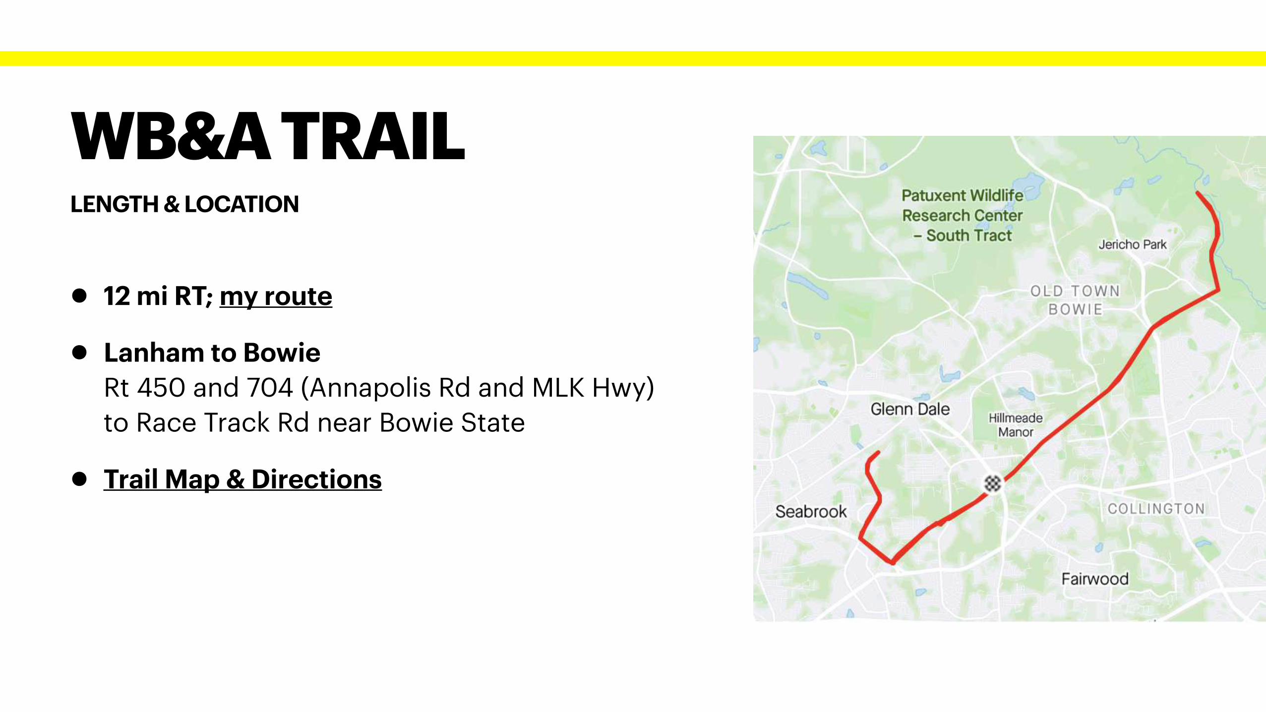
WB&A TRAIL
LENGTH & LOCATION
WB&A TRAIL
• 12 mi RT; my route
• Lanham to Bowie
Rt 450 and 704 (Annapolis Rd and MLK Hwy)
to Race Track Rd near Bowie State
• Trail Map & Directions
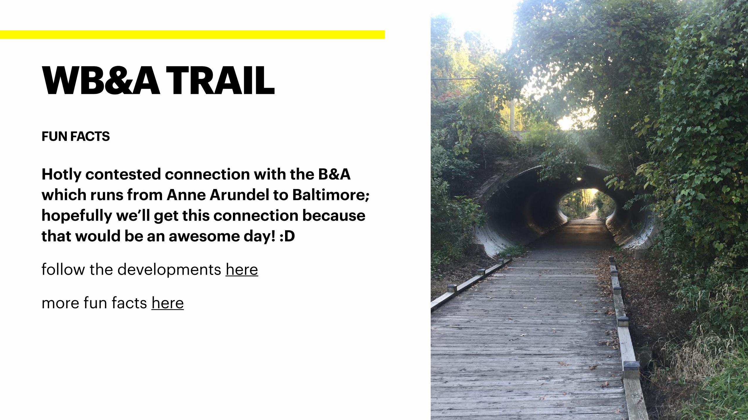
Hotly contested connection with the B&A
which runs from Anne Arundel to Baltimore;
hopefully we’ll get this connection because
that would be an awesome day! :D
follow the developments here
more fun facts here
WB&A TRAIL
FUN FACTS
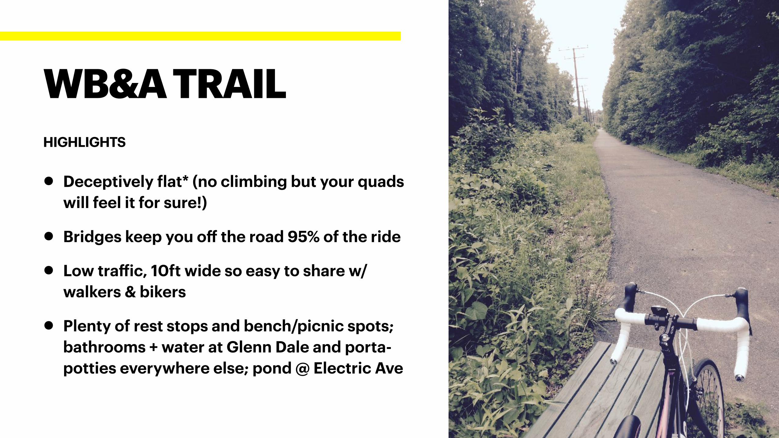
• Deceptively flat* (no climbing but your quads
will feel it for sure!)
• Bridges keep you off the road 95% of the ride
• Low traffic, 10ft wide so easy to share w/
walkers & bikers
• Plenty of rest stops and bench/picnic spots;
bathrooms + water at Glenn Dale and porta-
potties everywhere else; pond @ Electric Ave
WB&A TRAIL
HIGHLIGHTS
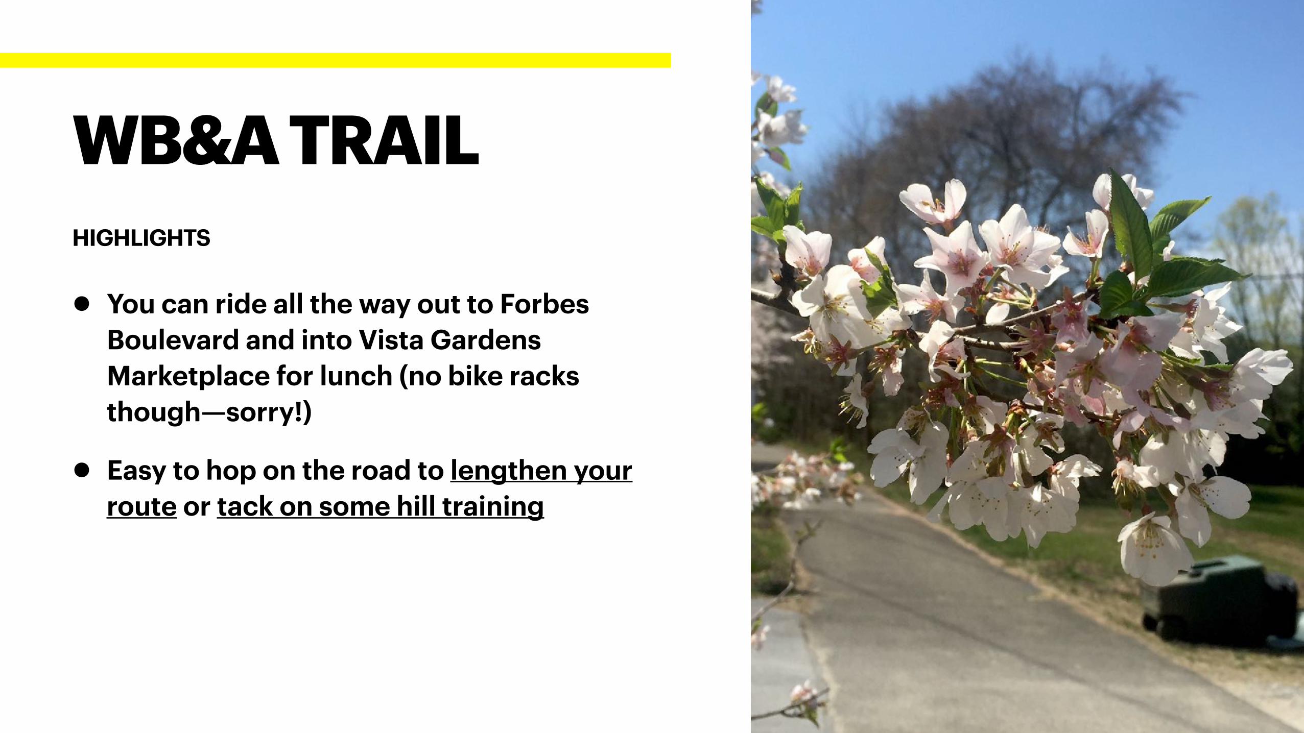
• You can ride all the way out to Forbes
Boulevard and into Vista Gardens
Marketplace for lunch (no bike racks
though—sorry!)
• Easy to hop on the road to lengthen your
route or tack on some hill training
WB&A TRAIL
HIGHLIGHTS
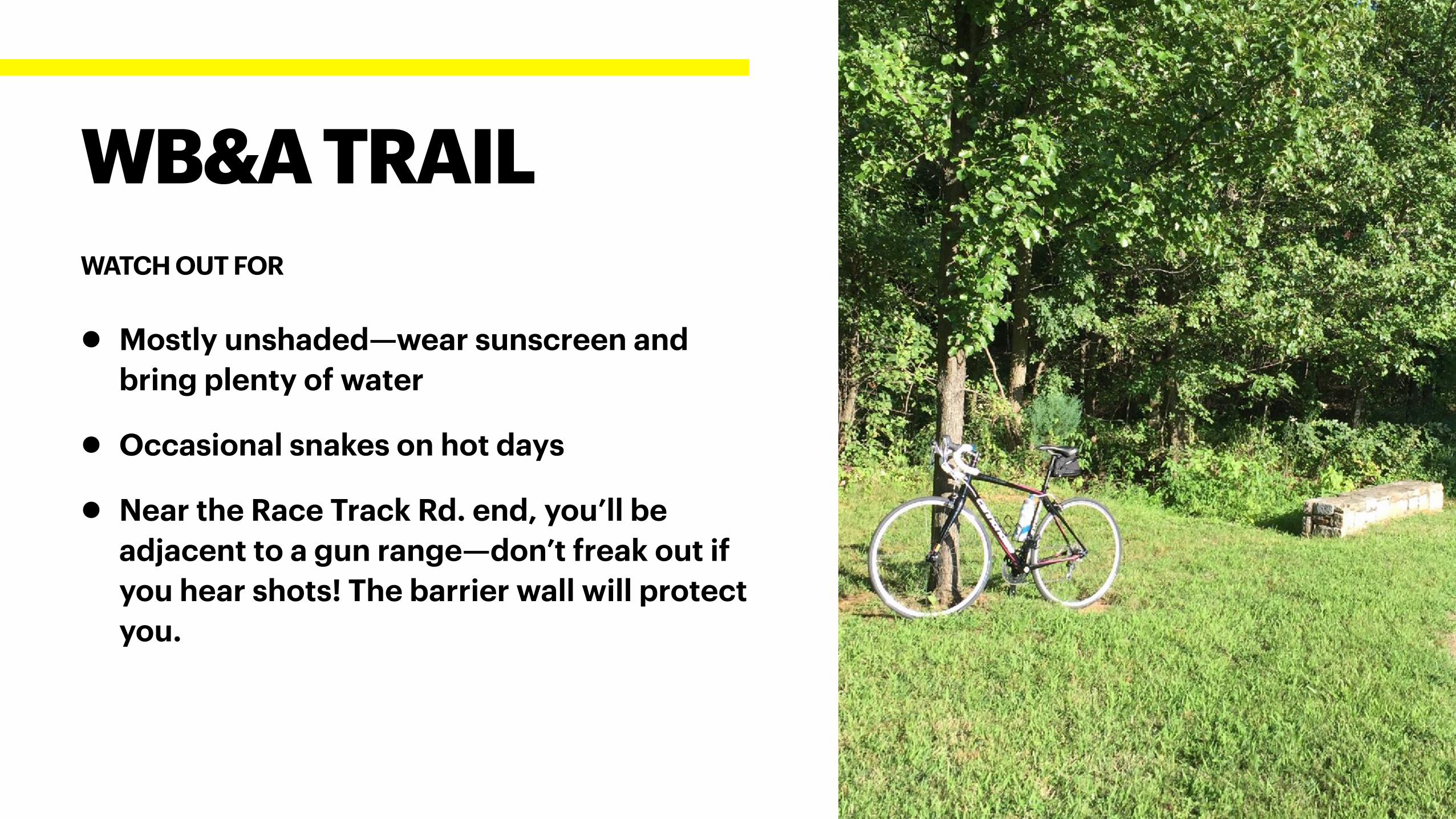
• Mostly unshaded—wear sunscreen and
bring plenty of water
• Occasional snakes on hot days
• Near the Race Track Rd. end, you’ll be
adjacent to a gun range—don’t freak out if
you hear shots! The barrier wall will protect
you.
WB&A TRAIL
WATCH OUT FOR
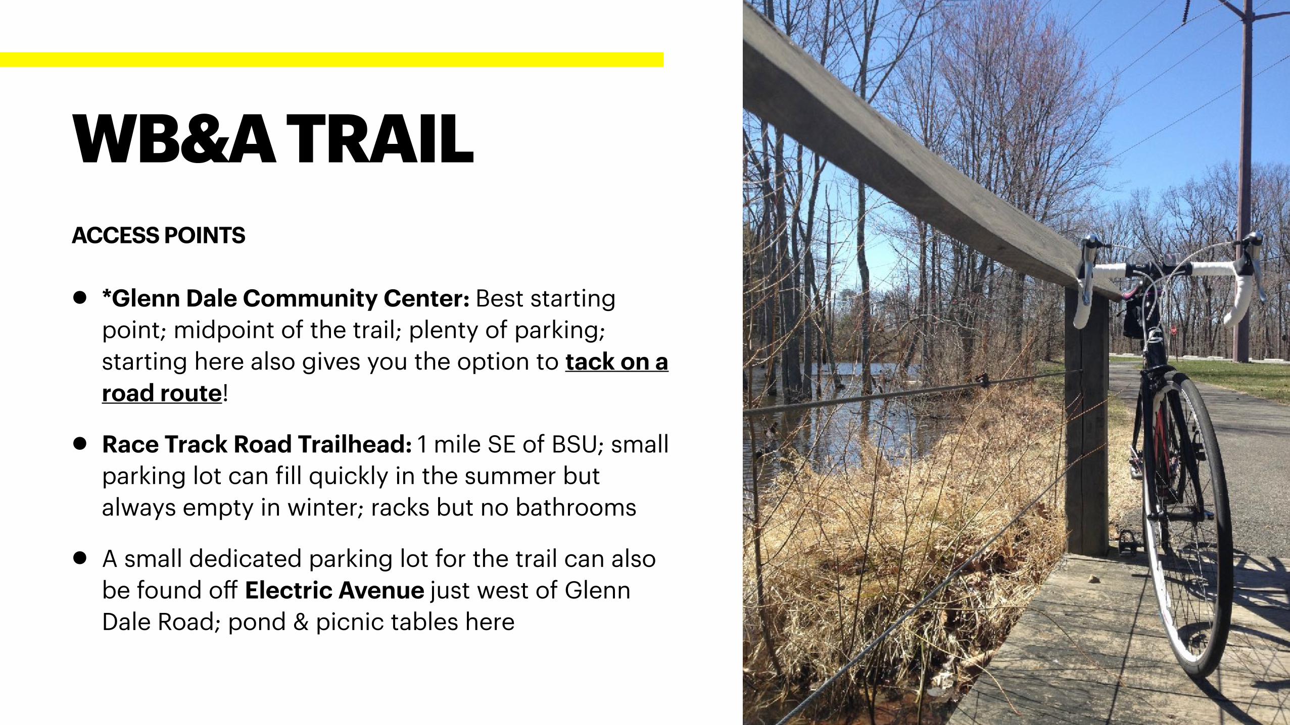
• *Glenn Dale Community Center: Best starting
point; midpoint of the trail; plenty of parking;
starting here also gives you the option to tack on a
road route!
• Race Track Road Trailhead: 1 mile SE of BSU; small
parking lot can fill quickly in the summer but
always empty in winter; racks but no bathrooms
• A small dedicated parking lot for the trail can also
be found off Electric Avenue just west of Glenn
Dale Road; pond & picnic tables here
WB&A TRAIL
ACCESS POINTS
WATKINS PARK+ CONNECTING ROAD ROUTES
LENGTH & LOCATION
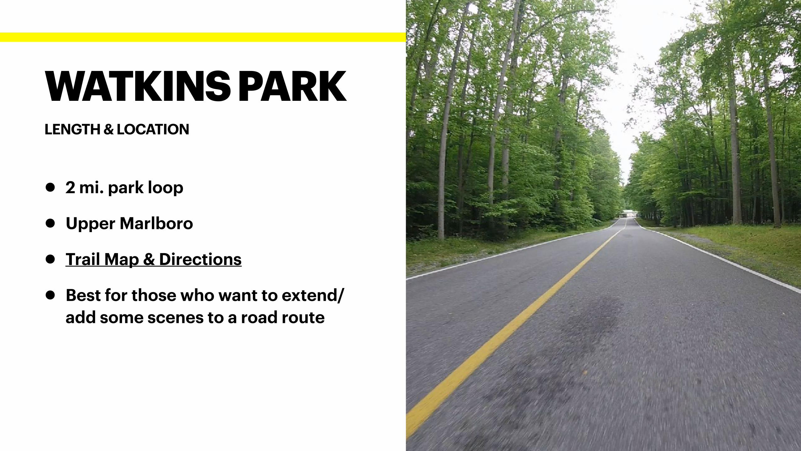
WATKINS PARK
• 2 mi. park loop
• Upper Marlboro
• Trail Map & Directions
• Best for those who want to extend/
add some scenes to a road route
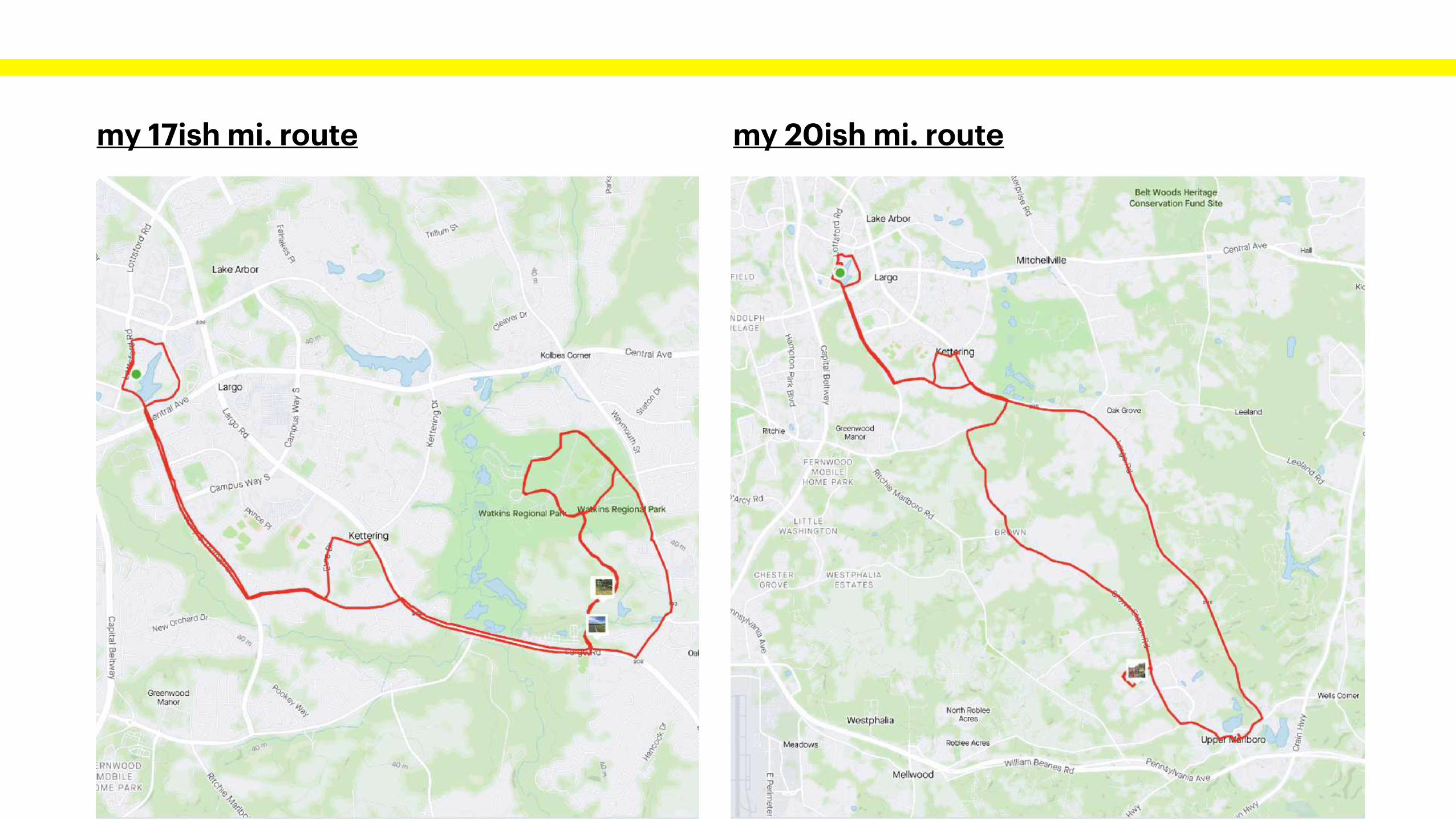
my 17ish mi. route my 20ish mi. route
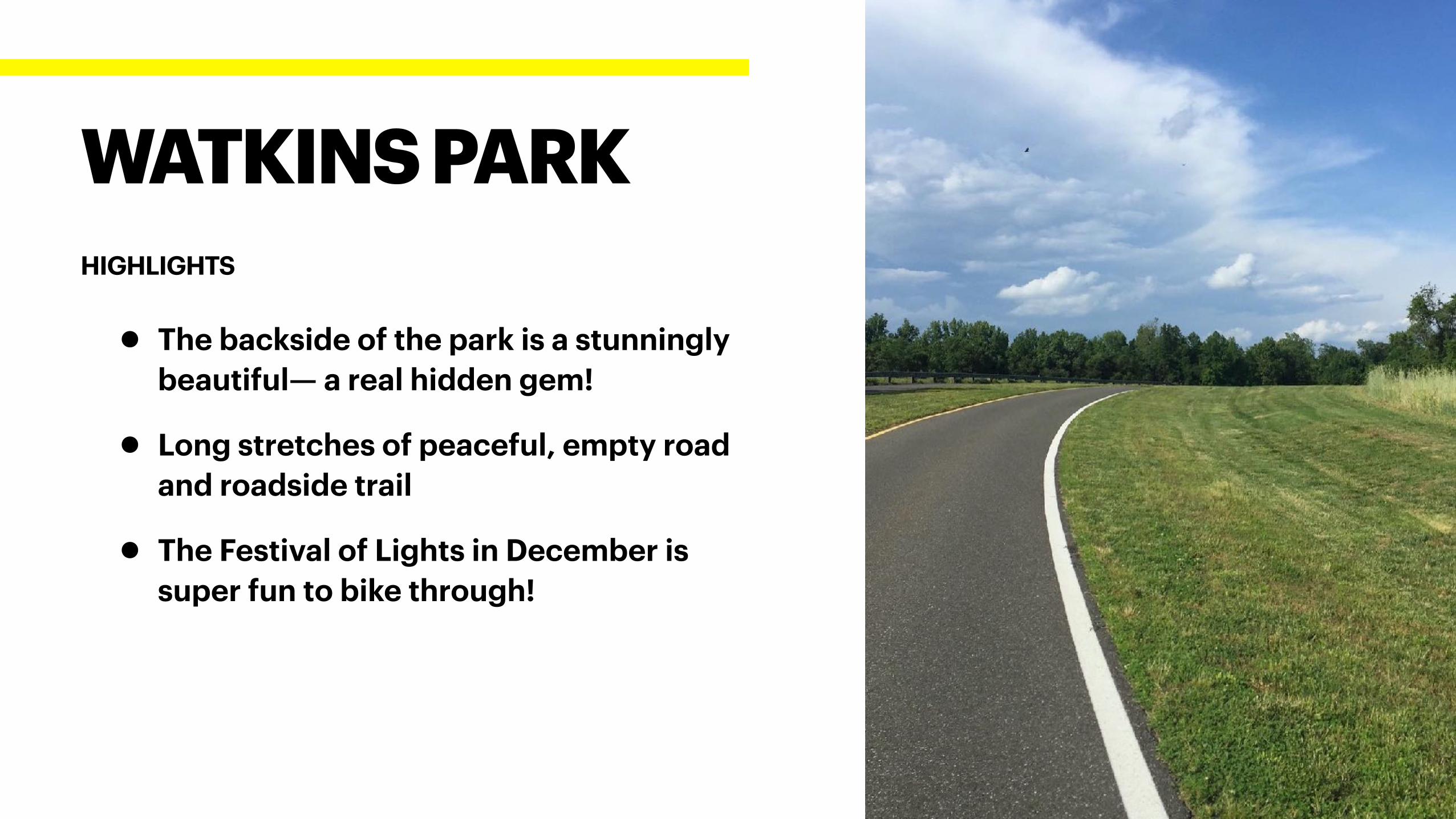
• The backside of the park is a stunningly
beautiful— a real hidden gem!
• Long stretches of peaceful, empty road
and roadside trail
• The Festival of Lights in December is
super fun to bike through!
WATKINS PARK
HIGHLIGHTS
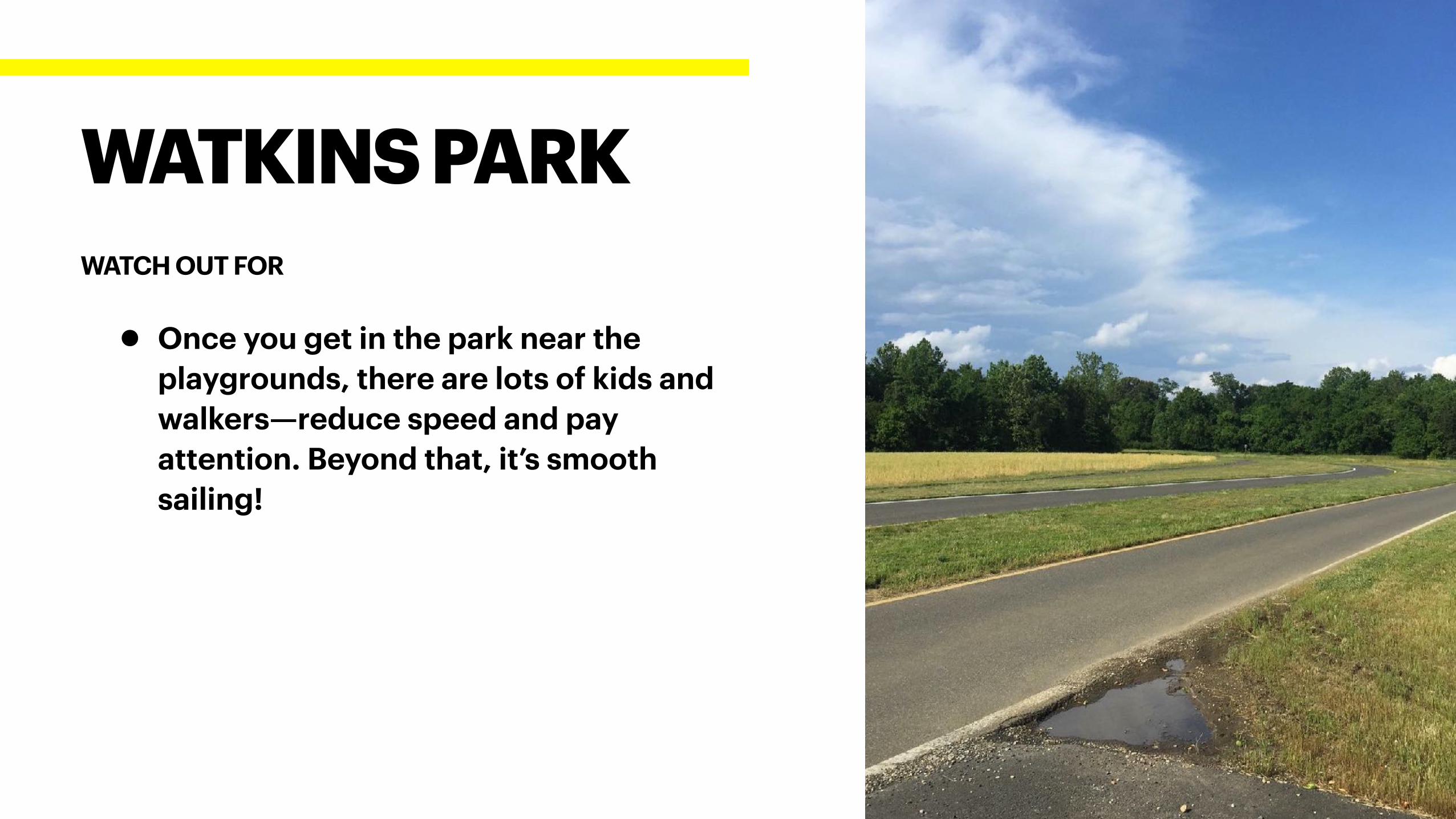
• Once you get in the park near the
playgrounds, there are lots of kids and
walkers—reduce speed and pay
attention. Beyond that, it’s smooth
sailing!
WATKINS PARK
WATCH OUT FOR
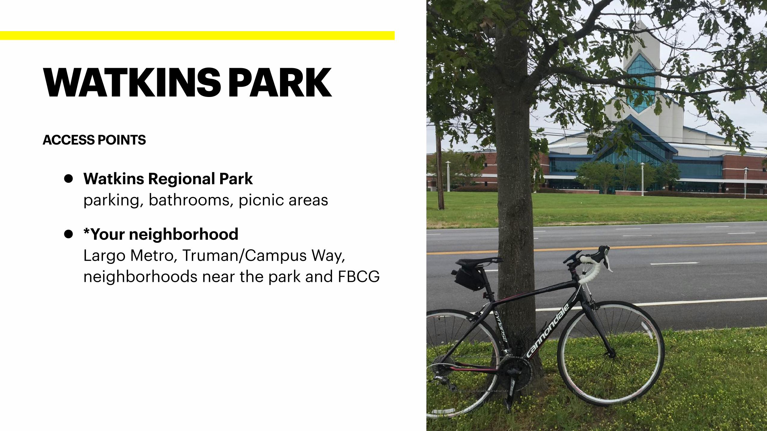
• Watkins Regional Park
parking, bathrooms, picnic areas
• *Your neighborhood
Largo Metro, Truman/Campus Way,
neighborhoods near the park and FBCG
WATKINS PARK
ACCESS POINTS
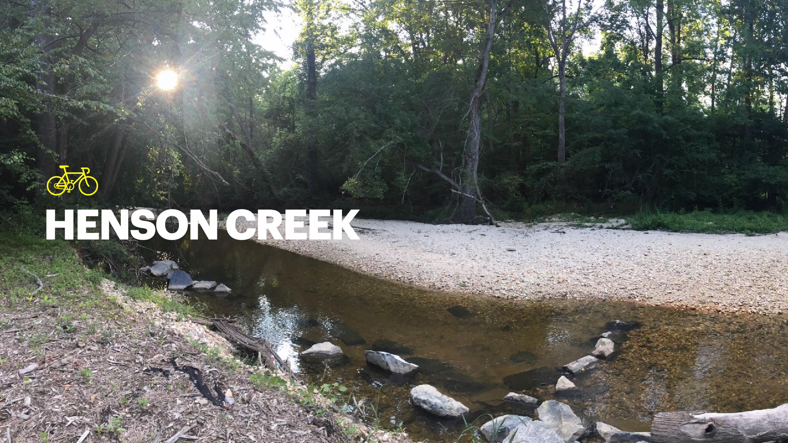
HENSON CREEK

LENGTH & LOCATION
HENSON CREEK
• 12 mi RT; my route
• Temple Hills to Fort Washington
• Trail Map & Directions
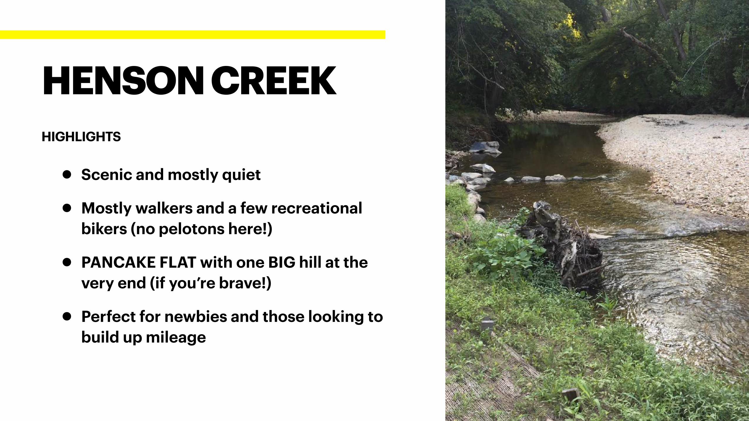
• Scenic and mostly quiet
• Mostly walkers and a few recreational
bikers (no pelotons here!)
• PANCAKE FLAT with one BIG hill at the
very end (if you’re brave!)
• Perfect for newbies and those looking to
build up mileage
HENSON CREEK
HIGHLIGHTS
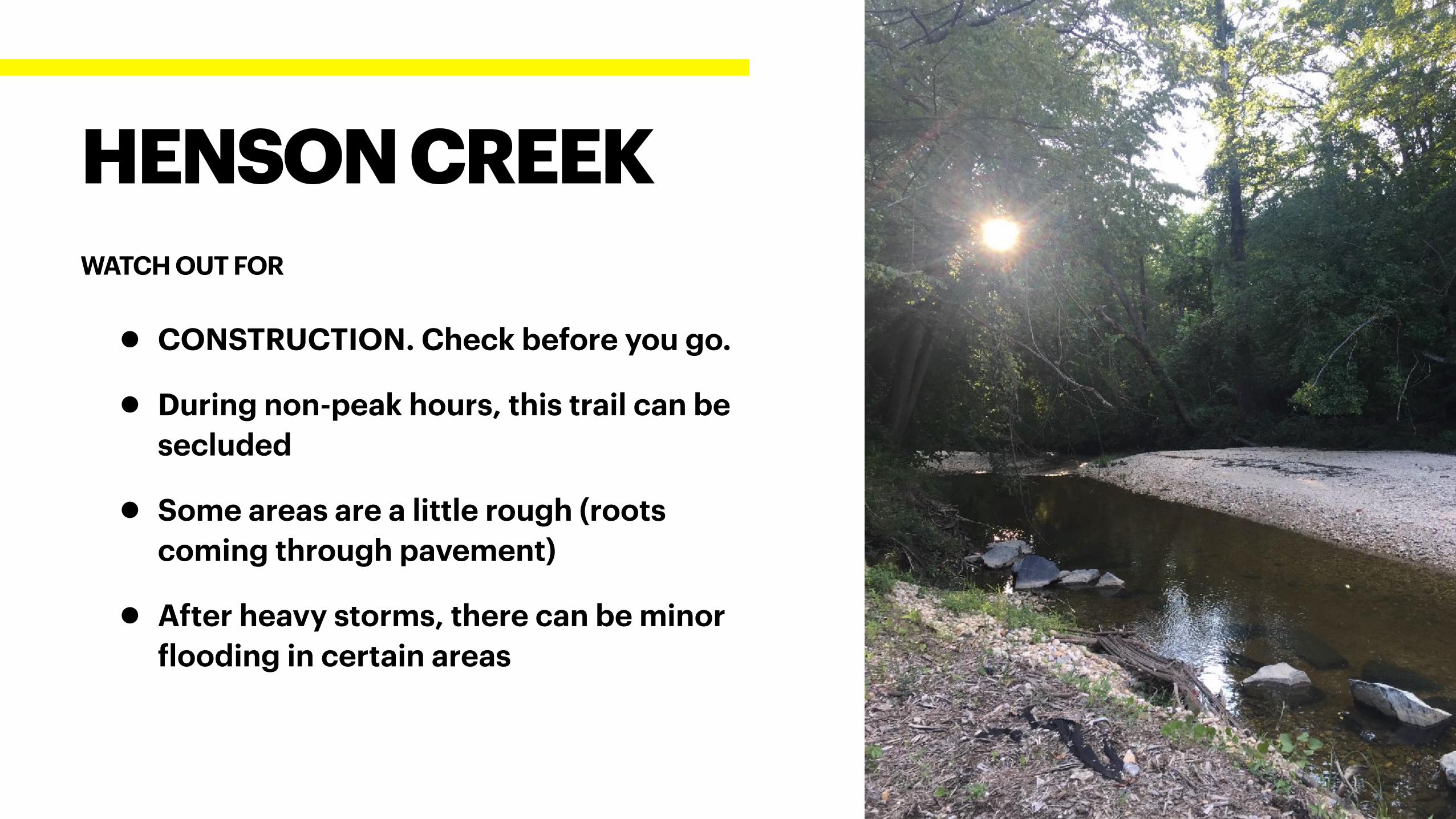
• CONSTRUCTION. Check before you go.
• During non-peak hours, this trail can be
secluded
• Some areas are a little rough (roots
coming through pavement)
• After heavy storms, there can be minor
flooding in certain areas
HENSON CREEK
WATCH OUT FOR
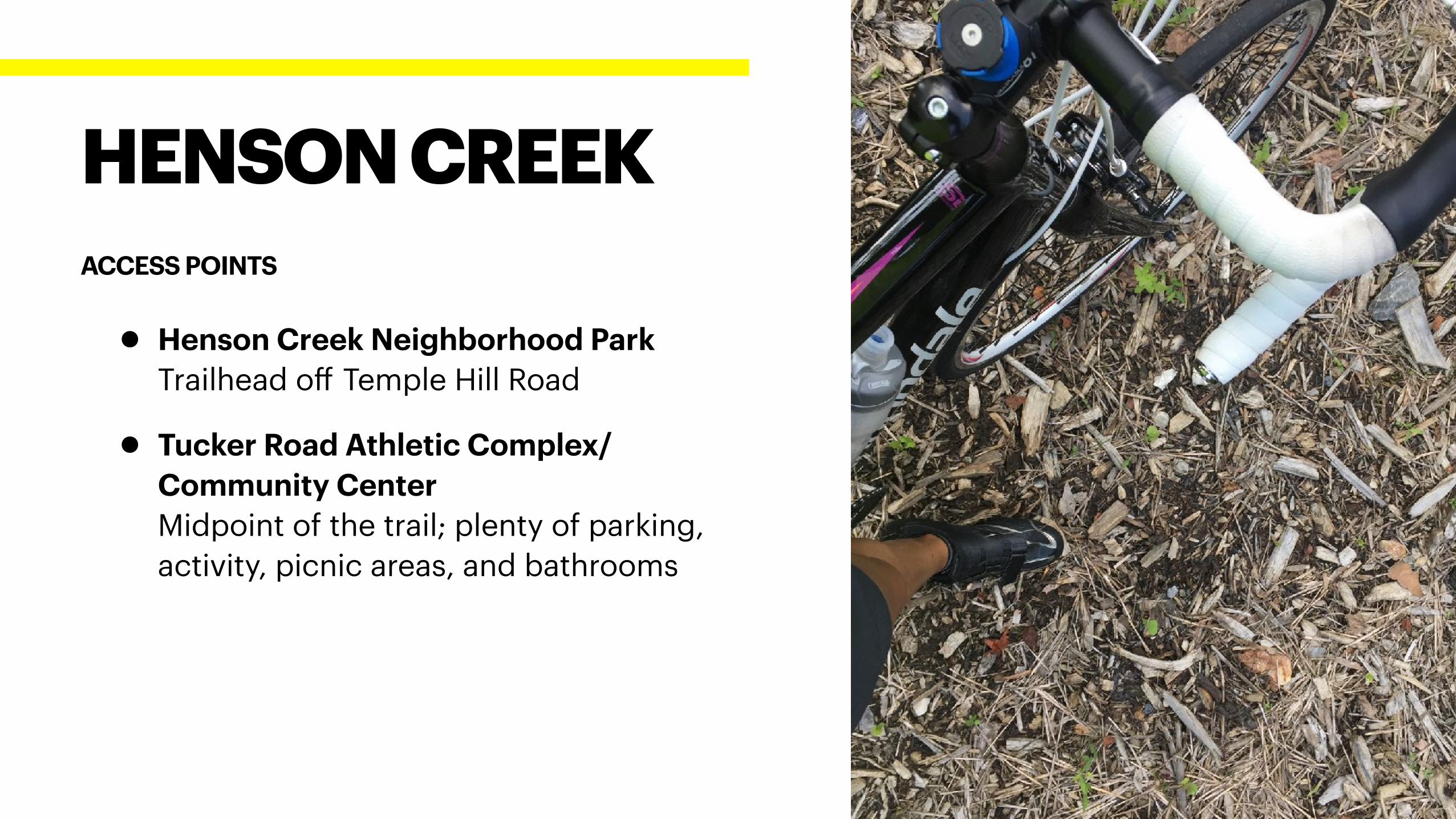
• Henson Creek Neighborhood Park
Trailhead off Temple Hill Road
• Tucker Road Athletic Complex/
Community Center
Midpoint of the trail; plenty of parking,
activity, picnic areas, and bathrooms
HENSON CREEK
ACCESS POINTS
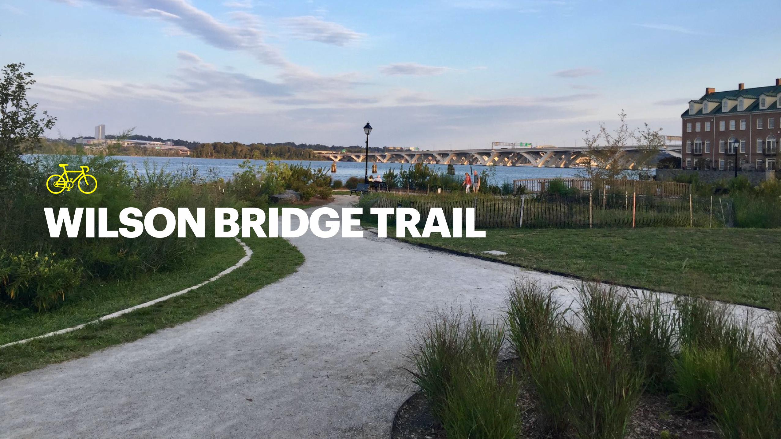
WILSON BRIDGE TRAIL
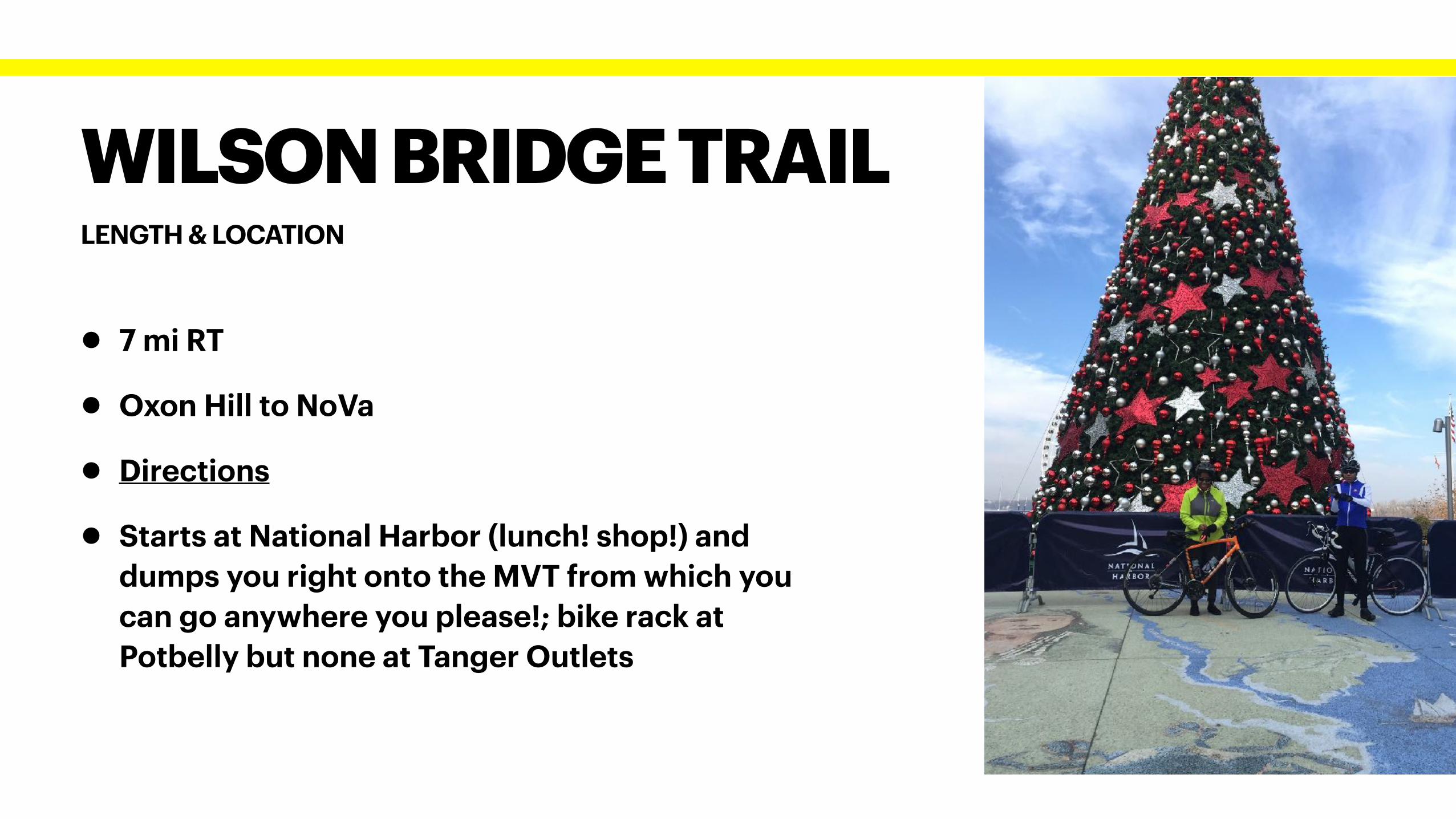
LENGTH & LOCATION
WILSON BRIDGE TRAIL
• 7 mi RT
• Oxon Hill to NoVa
• Directions
• Starts at National Harbor (lunch! shop!) and
dumps you right onto the MVT from which you
can go anywhere you please!; bike rack at
Potbelly but none at Tanger Outlets
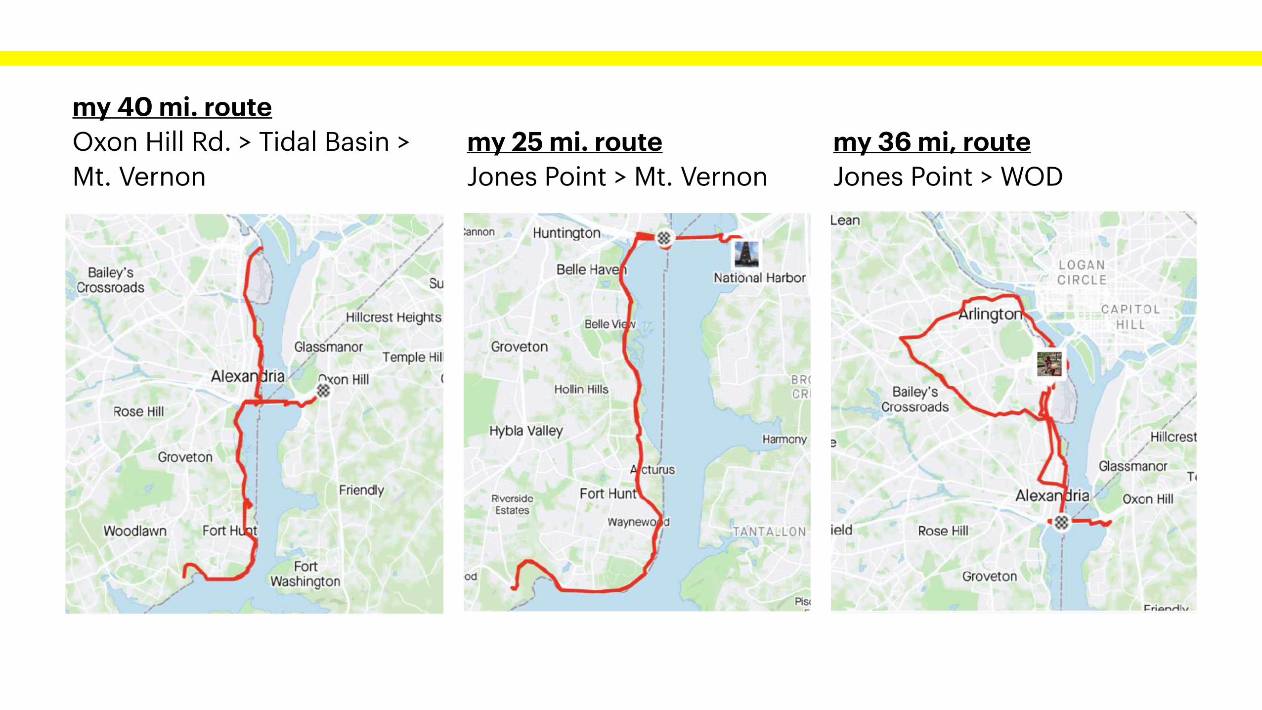
my 40 mi. route
Oxon Hill Rd. > Tidal Basin >
Mt. Vernon
my 25 mi. route
Jones Point > Mt. Vernon
my 36 mi, route
Jones Point > WOD
• SCENES!!!
• Connects you to NoVa’s trail network (MVT,
WOD, etc. ) without having to drive to VA
• Great “ride all day” option
• Great if you want a challenge: Getting on
and off the bridge and climbing the
mountain up to Oxon Hill Road is a great
challenge for those seeking to build
endurance or practice climbing
WILSON BRIDGE
HIGHLIGHTS
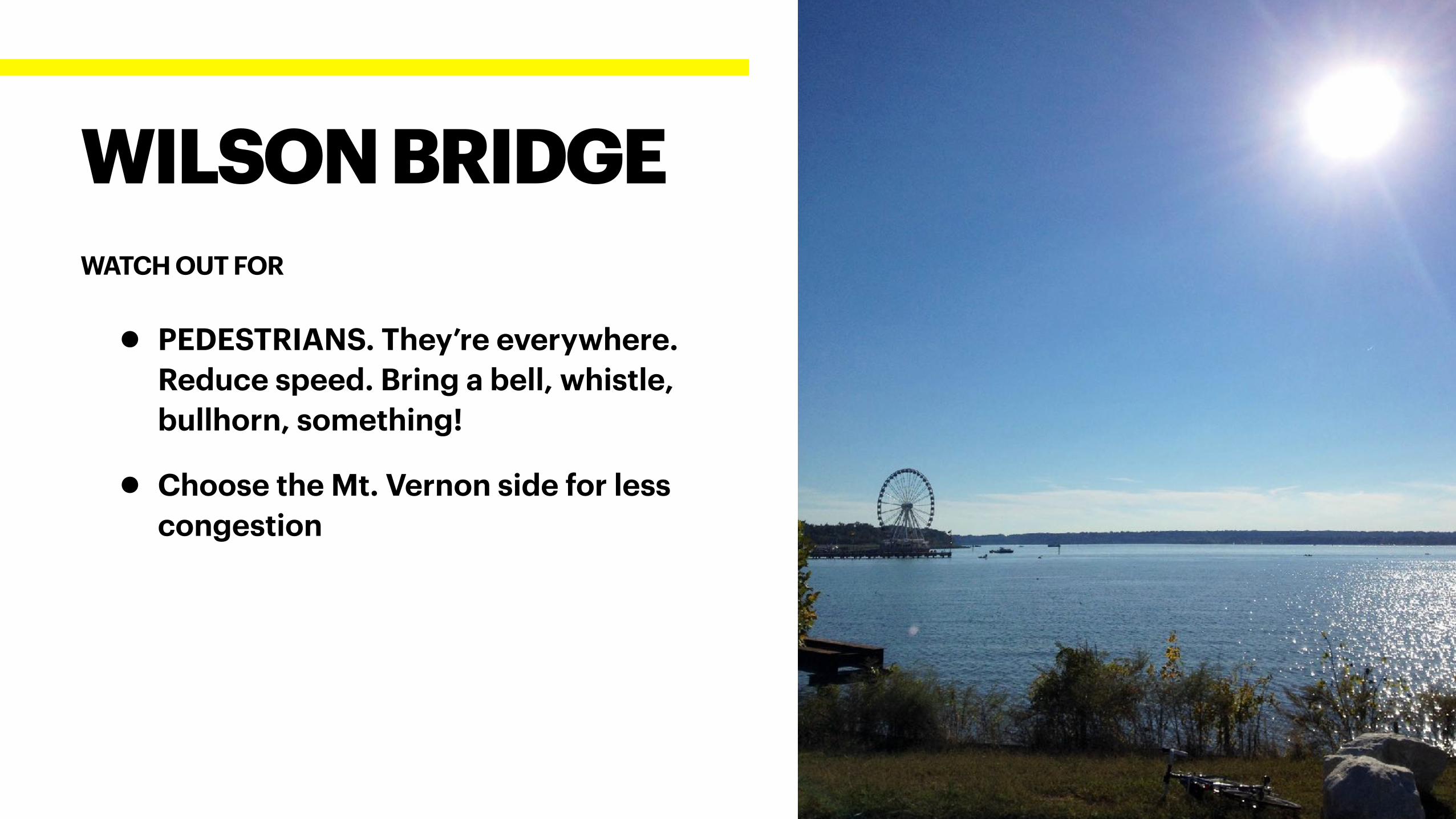
• PEDESTRIANS. They’re everywhere.
Reduce speed. Bring a bell, whistle,
bullhorn, something!
• Choose the Mt. Vernon side for less
congestion
WILSON BRIDGE
WATCH OUT FOR
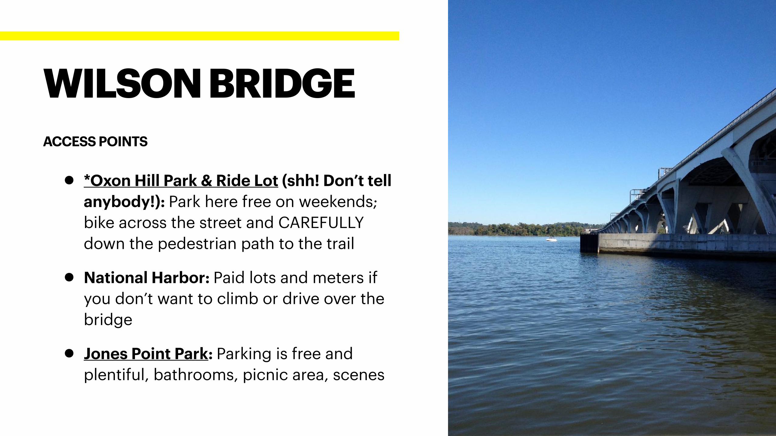
• *Oxon Hill Park & Ride Lot (shh! Don’t tell
anybody!): Park here free on weekends;
bike across the street and CAREFULLY
down the pedestrian path to the trail
• National Harbor: Paid lots and meters if
you don’t want to climb or drive over the
bridge
• Jones Point Park: Parking is free and
plentiful, bathrooms, picnic area, scenes
WILSON BRIDGE
ACCESS POINTS
OTHER NOTABLES
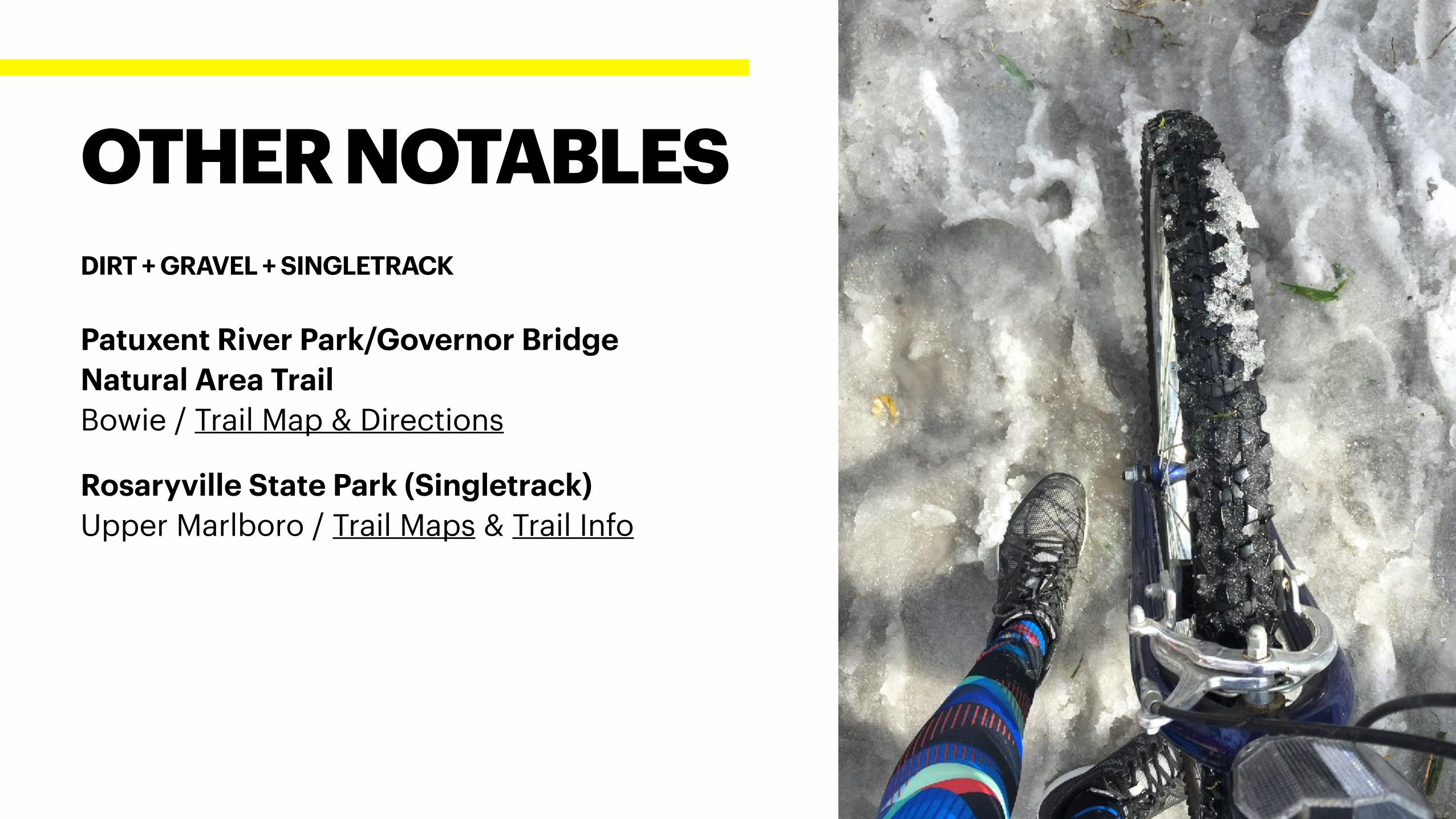
Patuxent River Park/Governor Bridge
Natural Area Trail
Bowie / Trail Map & Directions
Rosaryville State Park (Singletrack)
Upper Marlboro / Trail Maps & Trail Info
OTHER NOTABLES
DIRT + GRAVEL + SINGLETRACK
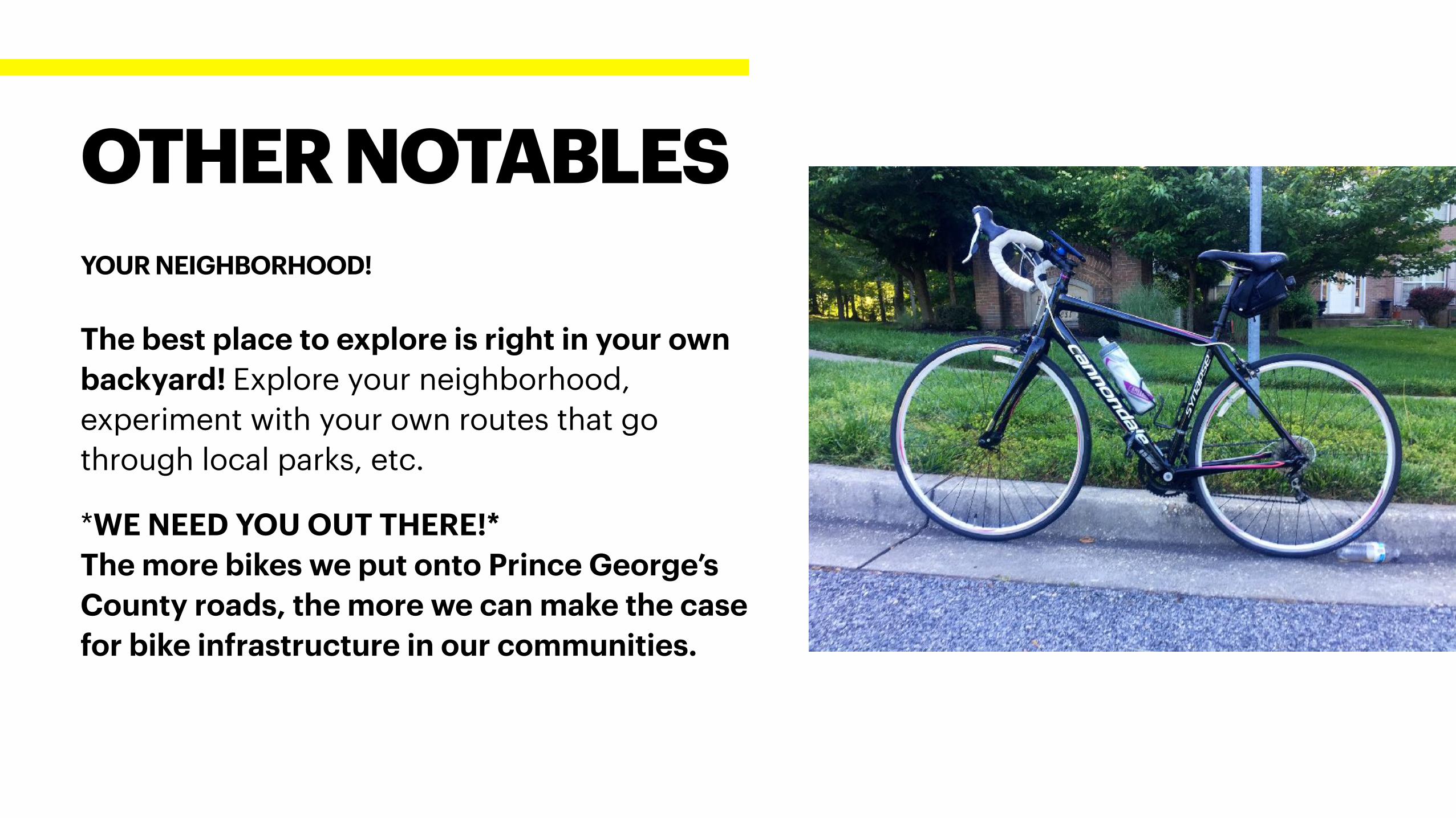
The best place to explore is right in your own
backyard! Explore your neighborhood,
experiment with your own routes that go
through local parks, etc.
*WE NEED YOU OUT THERE!*
The more bikes we put onto Prince George’s
County roads, the more we can make the case
for bike infrastructure in our communities.
OTHER NOTABLES
YOUR NEIGHBORHOOD!
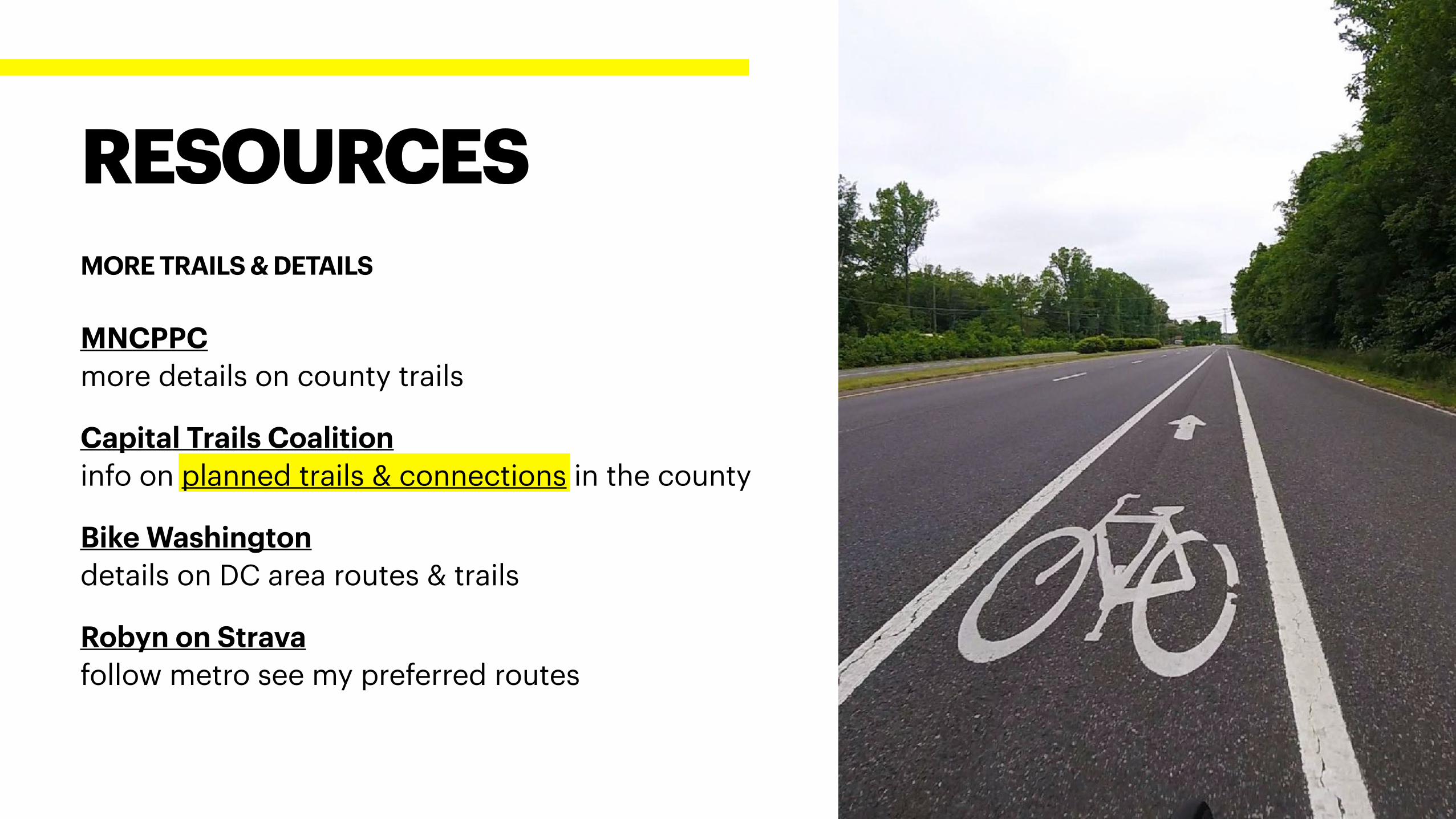
RESOURCES
MORE TRAILS & DETAILS
MNCPPC
more details on county trails
Capital Trails Coalition
info on planned trails & connections in the county
Bike Washington
details on DC area routes & trails
Robyn on Strava
follow metro see my preferred routes
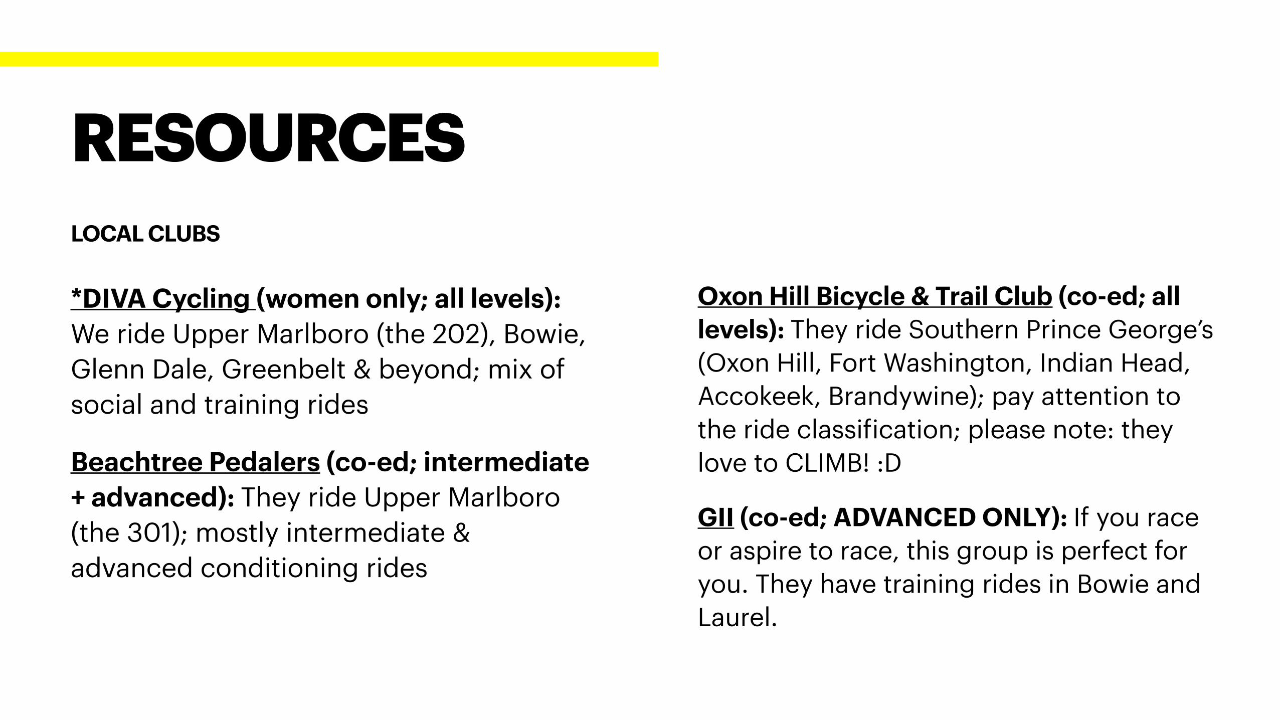
*DIVA Cycling (women only; all levels):
We ride Upper Marlboro (the 202), Bowie,
Glenn Dale, Greenbelt & beyond; mix of
social and training rides
Beachtree Pedalers (co-ed; intermediate
+ advanced): They ride Upper Marlboro
(the 301); mostly intermediate &
advanced conditioning rides
RESOURCES
LOCAL CLUBS
Oxon Hill Bicycle & Trail Club (co-ed; all
levels): They ride Southern Prince George’s
(Oxon Hill, Fort Washington, Indian Head,
Accokeek, Brandywine); pay attention to
the ride classification; please note: they
love to CLIMB! :D
GII (co-ed; ADVANCED ONLY): If you race
or aspire to race, this group is perfect for
you. They have training rides in Bowie and
Laurel.

NOW, GO RIDE SOMEWHERE!
THANKS!