VMAS - IALA AISM
19
VMAS Vessel Monitoring and Advisory Services e-Nav Underway 2013 Robert Tremlett
Transcript of VMAS - IALA AISM

VMAS
Vessel Monitoring and Advisory Services
e-Nav Underway 2013
Robert Tremlett

Purpose of VMAS
• To determine and mitigate the risk of vessels to;
– Safety of life
– Other Vessels
– Environment
– Aquaculture
– Coastlines
– Offshore Infrastructure
29/01/2013 Robert Tremlett e-Nav Underway 2013 2

Risks (VM)
• Ship carrying out operations contrary to regulations • Adverse weather
– Ship encountering heavy seas. – Ships encountering ice or experiencing ice accretion – Ships encountering restricted visibility – Ships not adjusting routing to compensate for weather.
• Severely hampered vessels – Engine breakdown – Structural failure
• Unreported deliberate incapacitation – Engine maintenance
• History of “risk” through intelligence of company, cargo or vessel – Engine reliability – Cargo residues – Hold / Tank cleaning
29/01/2013 Robert Tremlett e-Nav Underway 2013 3

Risk Mitigation - Static Data sources
– Static / Historic data sources. • Engine Failures
– Casualty records
– Changes in velocity
• Port State – Port State Control records
• History of ships path – Terrestrial or Satellite AIS
• Cargo – Last ports of call
– From Ship ???
– From Shore – More reliable
29/01/2013 Robert Tremlett e-Nav Underway 2013 4

Risk Mitigation-Dynamic Data Sources
– Dynamic data Sources • Frequent or preferably continuous Position & Velocity vital
for ascertaining whether the vessels is navigating in a safe manner.
• Indirect – Exchange of information with other states
• Direct – Periodic Ship Reporting (Global)
– Terrestrial AIS networks (<200NM)
– Satellite AIS (Global but Limited ability in dense areas)
– Radar (Other than OHR, limited to < 100NM)
– Periodic Dynamic data feed (AIS extracts) embedded within Communication Satellite data stream.
29/01/2013 Robert Tremlett e-Nav Underway 2013 5
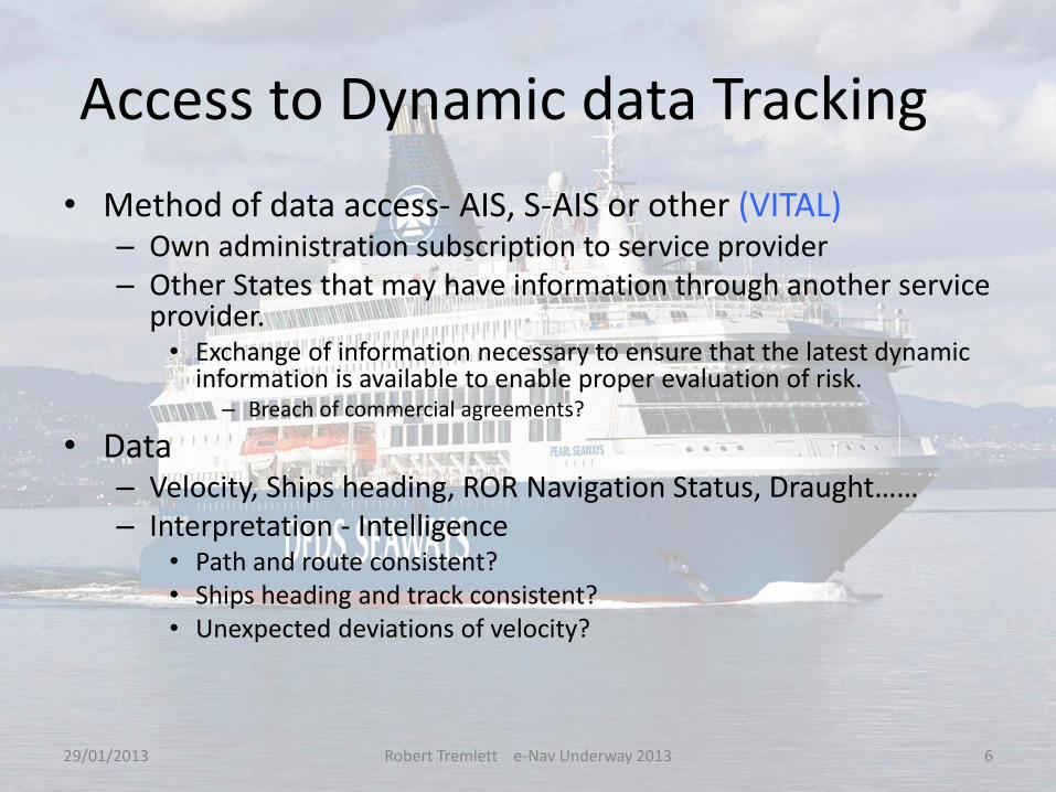
Access to Dynamic data Tracking
• Method of data access- AIS, S-AIS or other (VITAL) – Own administration subscription to service provider – Other States that may have information through another service
provider. • Exchange of information necessary to ensure that the latest dynamic
information is available to enable proper evaluation of risk. – Breach of commercial agreements?
• Data – Velocity, Ships heading, ROR Navigation Status, Draught…… – Interpretation - Intelligence
• Path and route consistent? • Ships heading and track consistent? • Unexpected deviations of velocity?
29/01/2013 Robert Tremlett e-Nav Underway 2013 6

Risk Mitigation – Data Linking
• Data Linking – Tagging of the location of static information to dynamic data of a
Vessel being tracked. • Tracking Vessels using appropriate technological solutions
– S-AIS, AIS, or Velocity and ships heading by other means
• Access to Static information – Server providing continuous update of the location of latest information on; – Evolved traffic / ship monitoring (AIS SAT AIS) – Exchange of Port State Control – Exchange of “risk rating” on vessels – Exchange of Hazardous events – Exchange of vessel Incidents – Exchange of Traceable Voyage History – Exchange of Cargo Information – Conformity to Maritime Advisory Services, – Hull, – Cargo, – Owner, – Passengers etc…
29/01/2013 Robert Tremlett e-Nav Underway 2013 7

Access to Static Information
• Method to access Information
– Data Index exchange
• Linking Coastal State VMAS through National or regional Single Windows to source of information.
• Enabling source of information to be constantly updated, but not the detailed information.
– Intranet to access static information via National or Regional single windows to provide access to all detailed information as and when necessary.
29/01/2013 Robert Tremlett e-Nav Underway 2013 8

VMAS DATA
29/01/2013 Robert Tremlett e-Nav Underway 2013 9

Advisory Services (AS)
• Advisory service – Needed to provide advice to ALL Vessels whatever their
size or type. • In such a manner it can not be confused
– Language independent graphical portrayal – Provide Multilingual Alpha numeric information
» in user language.
– Advisory Information required • Recommended actions for Routing, Speed
– Based on sea state prognosis, ship type, cargo and vessels history, availability of Pilots / Port / Berth.
• Automatic update of Maritime Safety Information – Weather forecasts (Ice, sea state, visibility) – Status of Aids to navigation – Chart corrections
29/01/2013 Robert Tremlett e-Nav Underway 2013 10

Possible Solutions (Static Data)
• Use International LRIT Data exchange and National data centers. – Fit for purpose
• Proven to be secure • Existing infrastructure • No additional costs
– To facilitate index via single windows; • To where categories of information is held. • To exchange of dynamic information on vessels (S-AIS or Satellite
communications streamed AIS) • Coastal, Port States and Flag States may have an interest in whether the vessel
has taken advice offered or has chosen to ignore it. – Status of conformity pushed via IDE to the data centre of the flag State. – Where cooperation exists, status pulled using IDE by Port or Coastal State.
• Create International Maritime Intranet for access to detailed information located by use of IDE
29/01/2013 Robert Tremlett e-Nav Underway 2013 11
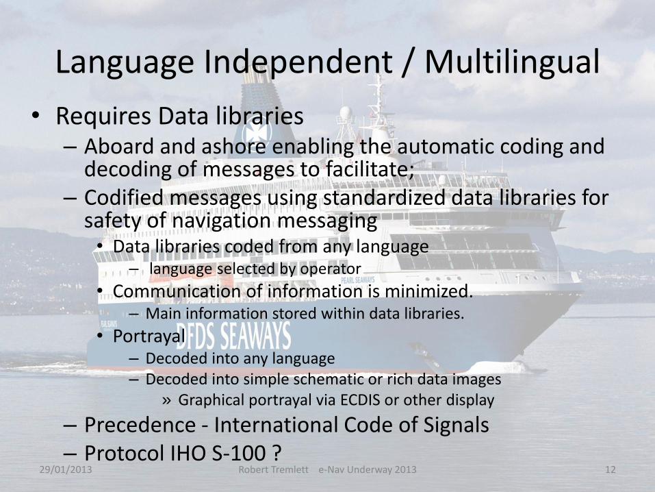
Language Independent / Multilingual
• Requires Data libraries – Aboard and ashore enabling the automatic coding and
decoding of messages to facilitate; – Codified messages using standardized data libraries for
safety of navigation messaging • Data libraries coded from any language
– language selected by operator
• Communication of information is minimized. – Main information stored within data libraries.
• Portrayal – Decoded into any language – Decoded into simple schematic or rich data images
» Graphical portrayal via ECDIS or other display
– Precedence - International Code of Signals – Protocol IHO S-100 ?
29/01/2013 Robert Tremlett e-Nav Underway 2013 12

Data libraries
29/01/2013 Robert Tremlett e-Nav Underway 2013 13

Possible Solutions - Communicate
• Terrestrial and satellite services – Provide ALL users with reliable robust services having
redundancy options. • Digital VDE and VDES
– Redundancy, where required for satellite services can be provided by Surface or Airborne assets in event of satellite constellation failure.
• Intelligent use of bandwidth and possible use of multi-hop VHF protocols.
• Need to define how VDE and VDES can be efficiently used to support e-Navigation – ship ship, coast ship, Satellite ship.
• Need to quantify scope and scale of VDE. • VDE and VDES could be the backbone of communications for all
safety of navigation GLOBALLY for ALL vessels, • What about HF for exchange of small packets information, could
this be used as a robust back up carrier driving data libraries?
29/01/2013 Robert Tremlett e-Nav Underway 2013 14
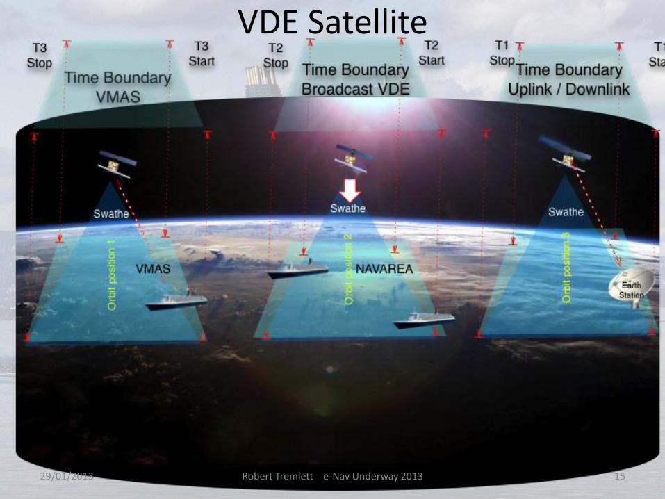
VDE Satellite
29/01/2013 Robert Tremlett e-Nav Underway 2013 15

VDE Multi-hop – (SEAMAX 2004)
29/01/2013 Robert Tremlett e-Nav Underway 2013 16

VDE Optimization
• Efficient VDE requires “Novel Spectrum protocols” offering – Broadband when in range of terrestrial Base Station
• 150 khz
– Intelligent use of bandwidth when not in range of base station for multichannel low bandwidth data exchange
– Base Station could be a Satellite or Coastal • Instead of 25KHz
– Coastal - 6.25 Khz or even 3.125 KHz instead offering multiple data channels. – Satellite 12.5 Khz or 6.25 KHz (if feasible)
– When monitoring / communication vessel clusters • Nodes ONLY when joining or leaving peer group. • Minimize localization part of message. • Maximize Number of channels to facilitate monitoring of several
thousands of nodes.
29/01/2013 Robert Tremlett e-Nav Underway 2013 17

Conclusions
• To facilitate VMAS – Adopt International Data Exchange designed for LRIT
• We can still use the infrastructure to access LRIT
– Use Single Windows and secure Intranet – Maximize number of vessels that can receive MSI
• ALL VESSELS
– Install Data libraries ashore and aboard (SDR) • Create small data packet messaging to drive them
– Provide intelligent VHF protocols for VDE • Investigate use of HF?
– Investigate the scale and scope of data. • Needed to define appropriate protocols and carrier needs.
– Provide harmonization for fusion of dynamic and static information
29/01/2013 Robert Tremlett e-Nav Underway 2013 18

e-Navigation Underway 2013
VMAS is a classical
e-Navigation App!!! • The components needed will also
facilitate other e-Navigation applications.
• Bon Voyage!
29/01/2013 Robert Tremlett e-Nav Underway 2013 19