COMPREHENSIVE STUDY ON DISASTER MANAGEMENT IN SRI...
44
No. 09-042 JR GED COMPREHENSIVE STUDY ON DISASTER MANAGEMENT IN SRI LANKA FINAL REPORT (DATA BOOK) MARCH 2009 JAPAN INTERNATIONAL COOPERATION AGENCY ORIENTAL CONSULTANTS CO., LTD. ASIAN DISASTER REDUCTION CENTER MINISTRY OF DISASTER MANAGEMENT AND HUMAN RIGHTS DEPARTMENT OF IRRIGATION OF THE MINISTRY OF IRRIGATION AND WATER MANAGEMENT
Transcript of COMPREHENSIVE STUDY ON DISASTER MANAGEMENT IN SRI...

No.
09-042
J RG E D
COMPREHENSIVE STUDY ON
DISASTER MANAGEMENT IN
SRI LANKA
FINAL REPORT
(DATA BOOK)
MARCH 2009
JAPAN INTERNATIONAL COOPERATION AGENCY
ORIENTAL CONSULTANTS CO., LTD. ASIAN DISASTER REDUCTION CENTER
MINISTRY OF DISASTER MANAGEMENT AND HUMAN RIGHTS DEPARTMENT OF IRRIGATION OF THE MINISTRY OF IRRIGATION AND WATER MANAGEMENT

i
TABLE OF CONTENTS
Data Book 1 River Cross Section Survey ········································································ 1-1 Data Book 2 Disaster Management Exercise Manual ·················································· 2-1 Data Book 3 Questionnaire of Interview Survey···························································· 3-1 Data Book 4 Questionnaire and Result of Community Survey ································· 4-1 Data Book 5 Handbook and “Fliptation” (Flip Chart & Presentation) Material ···· 5-1 Data Book 6 Community Hazard Maps (15 pilot communities) ································ 6-1 Data Book 7 Newsletters······································································································· 7-1 Data Book 8 Screenshot of Web Pages ··········································································· 8-1

Data Book 1
River Cross Section Survey

1-1
Data Book 1 River Cross Section Survey
1.1 Contractor The river cross section survey was conducted by the following contractor in Sri Lanka.
Company: Gamini B. Dodanwela Associates (Pvt) Ltd. , Colombo, Sri Lanka
Address : 213/C-2/2, Anagalika Dharmapala Mawatha, Dehiwala, Sri Lanka
Tel : (00911) 2716996 / 4205427 Fax : 4208148 e-mail : [email protected]
1.2 Objective To undertake a comprehensive study on Disaster Management in Sri Lanka by using river cross
sections as basic material to be used for further elaboration of rating curves of rivers at main gauging
stations and for utilization for pilot projects of early warning systems in the target river basins.
1.3 Scope of the Survey The Scope of work is to conduct river cross section survey in 4 River Basins at 18 locations as listed
below:
Table I.3.1 Location of River Cross Section Survey River Site Note Purpose
1. Kelani Glencourse G/S To check rating curves 2. Kelani Hanwella G/S To check rating curves 3. Kelani Kaduwella G/S To check rating curves 4. Kelani Nagalagam G/S To check rating curves 5. Kalu Ratnapura G/S To check rating curves 6. Kalu Ellagawa Bridge - To check flow capacity 7. Kalu Ellagawa G/S To check rating curves 8. Kalu Halwatura Bridge - To check flow capacity 9. Kalu Kuda Ganga Confluence - To check flow capacity
10. Kalu Putupaura G/S To check rating curves 11. Gin Tawalama G/S To check rating curves 12. Gin Agaliya G/S To check rating curves 13. Gin Ganegama P/S To check water levels 14. Gin Hegoda P/S To check water levels 15. Nilwala Pittabeddara G/S To check rating curves 16 Nilwala Bopagoda G/S To check rating curves 17. Nilwala Akuressa P/S To check water levels 18. Nilwala Talgahangoda P/S To check water levels
Note: G/S - Gauging Station (water level observation) P/S - Pumping Station

1-2
1.4 Geodetic Datum The Datum used for the surveys is the Sri Lanka National Datum established by the Survey
Department. The Map Projection being the Transverse Mercator Projection as specified by the
Survey Dept. having its origin at Pidurutalagala Trig Station is utilized.
Table I.4.1 Summary of Geodetic Datum
Latitude of Origin 7o 00’ 01.7290 N Longitude of the Central Meridian 80o 46’ 18.1600 E False Northing 200,000 m False Easting 200,000 m Scale Factor on Central Meridian 1 : 0.9999238418
The National Grid Values for the river cross sections have been obtained using a Hand held /Portable
GPS with reference to the above datum.
1.5 Elevation Datum All elevations are related to the Sri Lanka National Height Datum, which is Mean Sea Level.
Leveling is connected with old Survey Dept. bench marks or with reference TBMs and Guage Zero’s
elevations of which were supplied to the surveyors by the Irrigation Dept. The Table below gives
the reference to the leveling connection to the respective sites:
Table I.5.1 Elevation Datum
River Site Levelling Reference
1. Kelani Glencourse Survey Dept. FBM at Avissawella 2. Kelani Hanwella Irrigation Dept. TBM
3. Kelani Kaduwella Survey Dept. BM No.4 On Kaduwela Bridge
4. Kelani Nagalagam BM established for Colombo
Katunayake Expressway Project 5. Kalu Ratnapura Survey Dept. FBM at Ratnapura 6. Kalu Ellagawa Bridge Survey Dept. BM No.45 of PL No.LXIII 7. Kalu Ellagawa -do- 8. Kalu Halwatura Bridge -do- 9. Kalu Kalu Ganga Confluence Survey Dept. BM No.19 of SL CXXXIII
10. Kalu Putupaura Survey Dept. BM No.15 of SL CXXXIII
11. Gin Tawalama Gauge Zero elevation supplied by the
Irrigation Dept. 12. Gin Agaliya -do- 13. Gin Ganegama Irrigation Dept. TBM 14. Gin Hegoda -do- 15. Nilwala Pittabeddara Survey Dept. BM No.63 of SL LXXXIV
16 Nilwala Bopagoda Gauge Zero elevation supplied by the
Irrigation Dept.
17. Nilwala Akuressa Survey Dept. BM in Akuressa Police Station
Premises (formerly Rest House) 18. Nilwala Talgahangoda Irrigation Dept. TBM

1-3
All Survey Marks (Bench Mark) established at each CS Site have been heightened by double- run
Spirit leveling with mis-closures closing within the required accuracy.
1.6 River Bed Surveys All river bed levels have been taken using an Echo Sounder. The Echo Sounder was carried
attached to a boat along the Cross Section line. The readings taken from the Echo Sounder were
converted to the MSL datum with reference to the MSL elevation of the water level of the river at
the time of the bed level survey.
1.7 Period of Survey Details of the dates of the survey are given below:
Table I.7.1 Date of Field Survey Conducted Date of Survey River Site
River Basin River Bed 1. Kelani Glencourse 20.05.2007 22.06.2007 2. Kelani Hanwella 25.05.2007 20.06.2007 3. Kelani Kaduwella 24.05.2007 14.06.2007 4. Kelani Nagalagam 24.05.2007 17.07.2007
5. Kalu Ratnapura 25.05.2007 21.06.2007 6. Kalu Ellagawa Bridge 25.05.2007 21.06.2007 7. Kalu Ellagawa 25.05.2007 21.06.2007 8. Kalu Halwatura Bridge 19.06.2007 19.06.2007 9. Kalu Kalu Ganga Confluence 19.06.2007 19.06.2007
10. Kalu Putupaura 19.06.2007 19.06.2007
11. Gin Tawalama 05.06.2007 15.06.2007 12. Gin Agaliya 16.06.2007 16.06.2007 13. Gin Ganegama 16.06.2007 16.06.2007 14. Gin Hegoda 17.06.2007 17.06.2007
15. Nilwala Pittabeddara 06.06.2007 06.06.2007 16 Nilwala Bopagoda 07.06.2007 07.06.2007 17. Nilwala Akuressa 08.06.2007 08.06.2007 18. Nilwala Talgahangoda 07.06.2007 08.06.2007
Although the Contractor completed all field works by 21st June 2007, they could not complete the
CS No.4 at Nagalagam as the site was strictly restricted to enter for river bed survey without Defense
Ministry permission. This caused a unexpected delay and the Contractor should have waited for
the security clearance to do the survey. The security clearance was released to the Contractor on
16th July 2007, and soon after the river bed levels were duly measured.

1-4
1.8 Surveyed Quantities The survey quantities and the details of the drawings prepared are listed as follows:.
Table I.8.1 Surveyed Quantities Details of Drawings
Scales River Site Total
Length of CS(m) H V
Sheet Size
1. Kelani Glencourse 165.68 1:500 1:200 A2 2. Kelani Hanwella 173.04 1:500 1:200 A2 3. Kelani Kaduwella 179.10 1:500 1:200 A2 4. Kelani Nagalagam 210.51 1:500 1:200 A2
5. Kalu Ratnapura 148.12 1:500 1:200 A2 6. Kalu Ellagawa Bridge 75.93 1:500 1:200 A2 7. Kalu Ellagawa 119.12 1:500 1:200 A2
8. Kalu Halwatura
Bridge 234.53
1:500 1:200 A2
9. Kalu Kalu Ganga Confluence
165.49 1:500
1:200 A2
10. Kalu Putupaura 188.41 1:500 1:200 A2
11. Gin Tawalama 167.91 1:500 1:200 A2 12. Gin Agaliya 275.63 1:1000 1:100 A2 13. Gin Ganegama 420.18 1:1000 1:100 A2 14. Gin Hegoda 737.31 1:1000 1:100 A1
15. Nilwala Pittabeddara 262.95 1:1000 1:100 A2 16 Nilwala Bopagoda 112.93 1:500 1:200 A2 17. Nilwala Akuressa 235.69 1:500 1:200 A2 18. Nilwala Talgahangoda 361.21 1:1000 1:100 A2
In case of CS No.16, it was not able to extend the right bank survey beyond the point due to
objections from the people, who prevented the Contractor from entering their lands. The Contractor
had constructed the Survey Mark (BM) on the Right Bank but could not survey it because the people
objected at the time of survey.
The Contractor submitted a Survey Mark Location Plan below the CS Profile in each sheet to show
the location of the Survey Mark (Bench Mark) with reference to the CS line. MSL Elevations at
Gauge Zero as obtained by the survey are given in the respective drawings where the CS locations
are at Gauging Stations.

1-5
1.9 Materials Delivered (1) One set of the under mentioned 1:50,000 Topographical Maps showing the locations of
CSS.
Table I.9.1 Location Map Submitted Topo Map CS Nos. River
1. Avissawella 1 & 2 Kelani 2. Colombo 3 & 4 Kelani 3. Ratnapura 5 to 10 Kalu 4. Matugama 11 Gin 5. Ambalangoda 12 & 13 Gin 6. Galle 14 Gin 7. Morawaka 15 to 17 Nilwala 8. Matara 18 Nilwala
(2) 3 Sets of 18CS Profile drawings (Hard Copies). For details of drawings
(3) CD containing 18 CS Profile data in Excel format
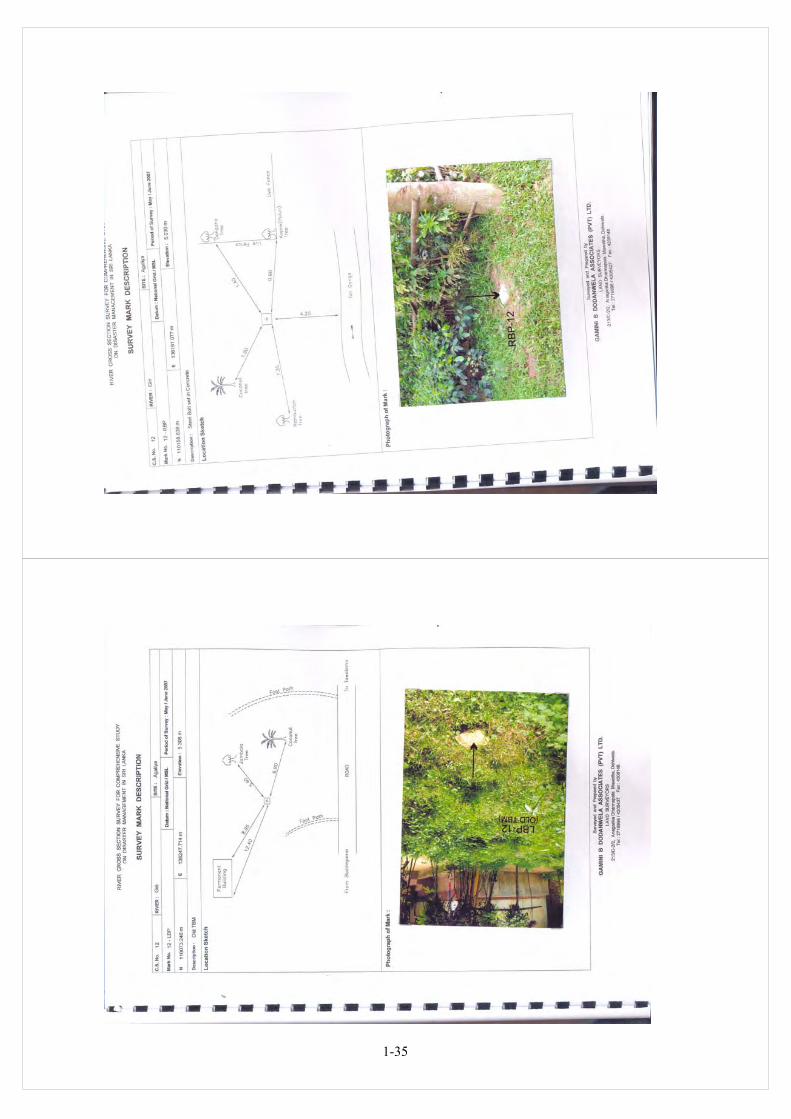
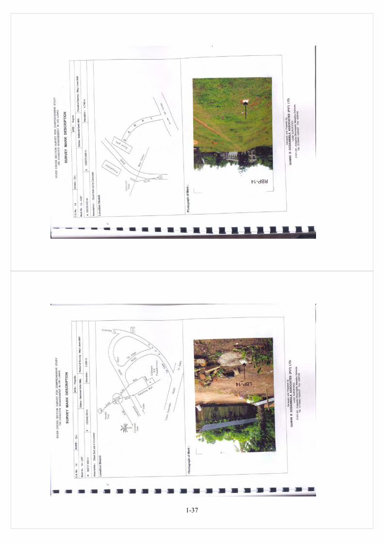
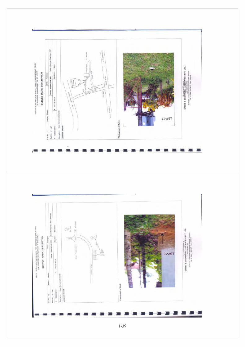
(4) 3 Sets of 35 Survey Mark (Bench Mark) Description forms (Hard Copies), with photo of
each point pasted to the form, location sketch of the respective point and other required
information. (Form for No.16 RBP is not supplied as this Survey Mark could not be
surveyed due to objections from the people in the area)
(5) CD Containing Digital Photos of the photos pasted on the above description forms of the
Survey Marks
(6) CD Containing the soft copies of the Survey Mark Description Forms
(7) 3 Copies of this Survey Report and a soft copy of same in a CD
1.10 Equipment Used Following Equipment were used for the survey:
(1) Hand held / Portable GPS – MAGALLAN Explorist 600 – 14 Channel 3m accuracy.
(2) SOKKIA Total Stations
(3) SOKKIA Auto Levels
(4) SOUTH SDE – 28 Echo Sounder - Transducer with frequency 200 kHz
All drawings have been computer drawn to AutoCAD format.
1.11 Staff Engaged Following are the names of the key personnel who were engaged in the survey work:
(1) Mr. Gamini B Dodanwela, Chief Surveyor
(2) Mr. M.W.Perera, Supervising Surveyor
(3) Mr. S.R.C.Ranaweera, Surveyor
(4) Mr. R.A.D.Aruna Kumara, Surveyor

1-6

1-7

1-8

1-9

1-10

1-11

1-12

1-13

1-14

1-15

1-16

1-17

1-18

1-19

1-20

1-21

1-22

1-23

1-24

1-25

1-26

1-27

1-28

1-29

1-30

1-31

1-32

1-33

1-34
1-35

1-36
1-37

1-38
1-39

1-40