
AfriGEOSS - An Initiative to Implement GEOSS in Africa Andiswa Mlisa GEO Secretariat On-behalf of...
17
AfriGEOSS - An Initiative to Implement GEOSS in Africa Andiswa Mlisa GEO Secretariat On-behalf of the Working Group GEO-XI Plenary, 13 – 14 November 2014, Geneva, Switzerland
-
Upload
joleen-hancock -
Category
Documents
-
view
216 -
download
0
Transcript of AfriGEOSS - An Initiative to Implement GEOSS in Africa Andiswa Mlisa GEO Secretariat On-behalf of...
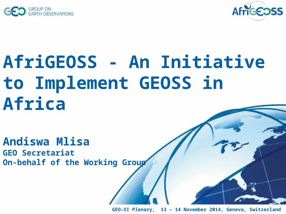
AfriGEOSS - An Initiative to Implement GEOSS in Africa
Andiswa MlisaGEO SecretariatOn-behalf of the Working Group
GEO-XI Plenary, 13 – 14 November 2014, Geneva, Switzerland
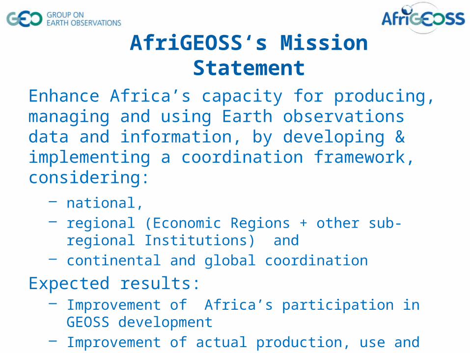
AfriGEOSS‘s Mission Statement
Enhance Africa’s capacity for producing, managing and using Earth observations data and information, by developing & implementing a coordination framework, considering:
– national, – regional (Economic Regions + other sub-regional Institutions) and– continental and global coordination
Expected results:– Improvement of Africa’s participation in GEOSS development – Improvement of actual production, use and management of available
Earth observations data and information for decision making.– Enhancement of existing efforts – Minimasation of duplication of effort
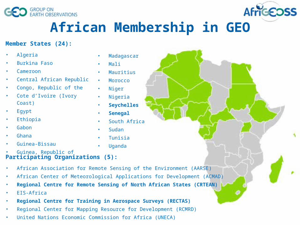
Member States (24):
• Algeria• Burkina Faso• Cameroon• Central African Republic• Congo, Republic of the • Cote d’Ivoire (Ivory Coast)• Egypt• Ethiopia• Gabon• Ghana• Guinea-Bissau• Guinea, Republic of
Participating Organizations (5):
• African Association for Remote Sensing of the Environment (AARSE)• African Center of Meteorological Applications for Development (ACMAD)• Regional Centre for Remote Sensing of North African States (CRTEAN)
• EIS-Africa• Regional Centre for Training in Aerospace Surveys (RECTAS)
• Regional Center for Mapping Resource for Development (RCMRD)• United Nations Economic Commission for Africa (UNECA)
• Madagascar• Mali• Mauritius• Morocco• Niger• Nigeria• Seychelles
• Senegal
• South Africa• Sudan• Tunisia• Uganda
African Membership in GEO
Strategic Recognition & Support
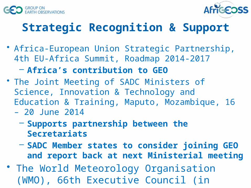
• Africa-European Union Strategic Partnership, 4th EU-Africa Summit, Roadmap 2014-2017– Africa’s contribution to GEO
• The Joint Meeting of SADC Ministers of Science, Innovation & Technology and Education & Training, Maputo, Mozambique, 16 – 20 June 2014– Supports partnership between the Secretariats– SADC Member states to consider joining GEO and report back at
next Ministerial meeting• The World Meteorology Organisation (WMO), 66th Executive
Council (in WIGOS Document), Geneva, June 2014– collaboration and coordination with WMO Integrated Global
Observing System (WIGOS)
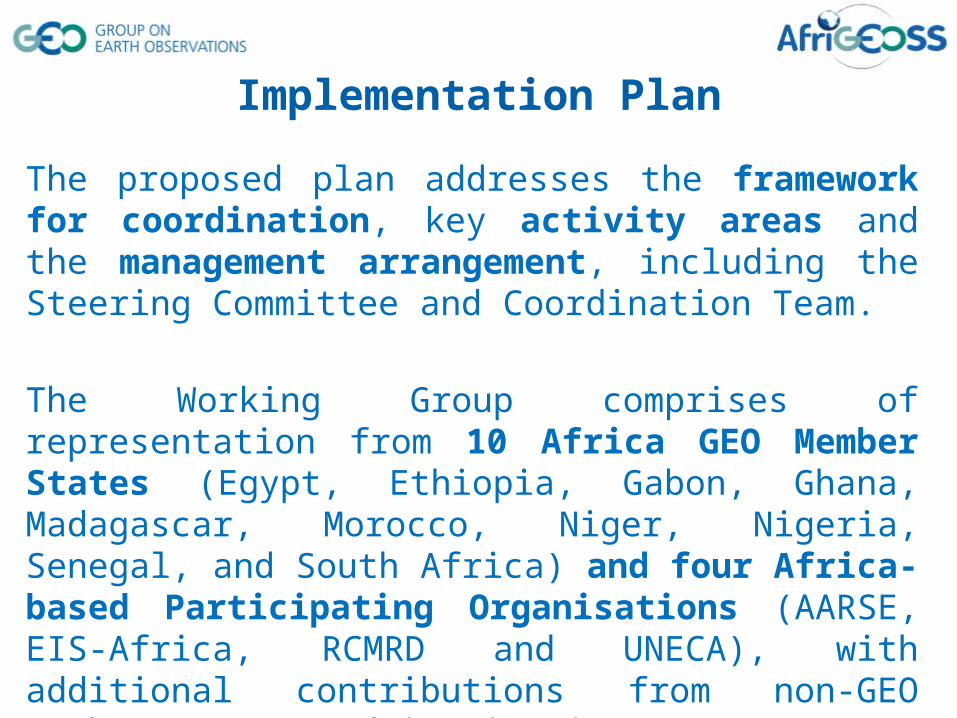
The proposed plan addresses the framework for coordination, key activity areas and the management arrangement, including the Steering Committee and Coordination Team.
The Working Group comprises of representation from 10 Africa GEO Member States (Egypt, Ethiopia, Gabon, Ghana, Madagascar, Morocco, Niger, Nigeria, Senegal, and South Africa) and four Africa-based Participating Organisations (AARSE, EIS-Africa, RCMRD and UNECA), with additional contributions from non-GEO Member States and institutions.
Implementation Plan
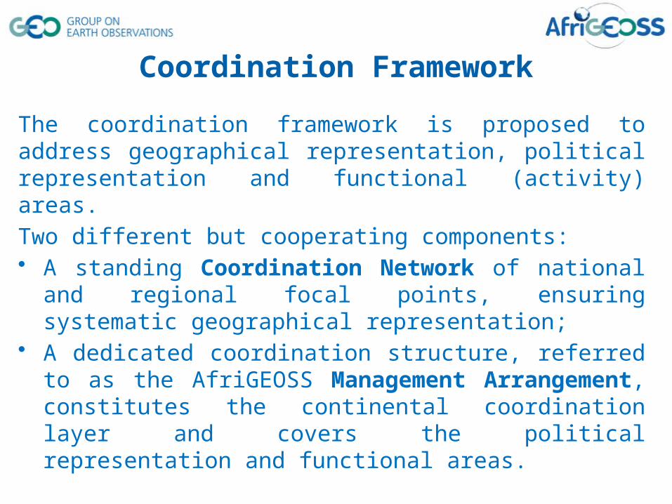
The coordination framework is proposed to address geographical representation, political representation and functional (activity) areas. Two different but cooperating components: • A standing Coordination Network of national and regional focal points,
ensuring systematic geographical representation; • A dedicated coordination structure, referred to as the AfriGEOSS
Management Arrangement, constitutes the continental coordination layer and covers the political representation and functional areas.
The GEO Africa Caucus will provide oversight of the coordination framework.
Coordination Framework
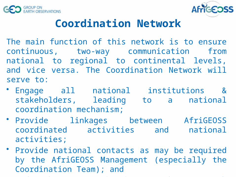
The main function of this network is to ensure continuous, two-way communication from national to regional to continental levels, and vice versa. The Coordination Network will serve to: • Engage all national institutions & stakeholders, leading to a national
coordination mechanism; • Provide linkages between AfriGEOSS coordinated activities and national
activities; • Provide national contacts as may be required by the AfriGEOSS
Management (especially the Coordination Team); and • Undertake communication and outreach activities at the national level,
such as dissemination of information.
GEO Principals nominate national coordinators
Coordination Network
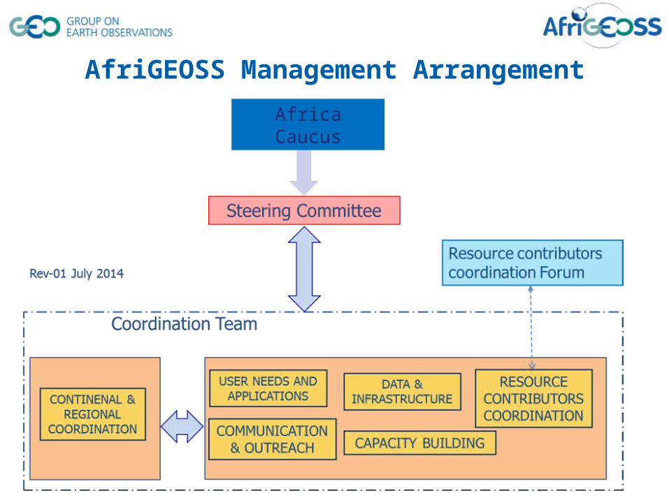
AfriGEOSS Management Arrangement
Africa Caucus

Provide guidance on key issues, such as:• Implementation and drive of policy decisions, • identification and prioritisation of strategic activities and • Mobilisation and allocation of resources.
The Africa Caucus is responsible for nominating the Steering Committee on the following bases:• Africa Member States to GEO• One Member State per geographical region (6 AfriGEOSS regions)• Representation at GEO Principal level
Current composition: North (Egypt), West (Senegal), South (South Africa), East (Pending nomination) and Central (Pending nomination).
Steering Committee
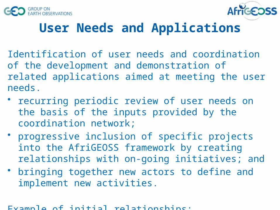
Identification of user needs and coordination of the development and demonstration of related applications aimed at meeting the user needs.• recurring periodic review of user needs on the basis of the inputs provided
by the coordination network; • progressive inclusion of specific projects into the AfriGEOSS framework
by creating relationships with on-going initiatives; and• bringing together new actors to define and implement new activities.
Example of initial relationships:• GlobWetland Africa, WGLCA, Monitoring of Environment & Security in Africa (MESA),
Towards Bioenergy Atlas for Africa (BAfA), TIGER and GEOSS African Water Coordination Cycle Initiative (AfWCCI), WIGOS and the GEO Global Initiatives
• Contributions to the World conference of disaster risk reduction, 1st Session of Preparatory Committee
User Needs and Applications
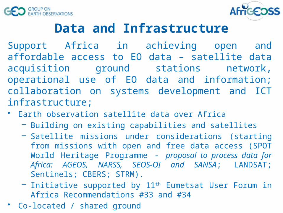
Support Africa in achieving open and affordable access to EO data – satellite data acquisition ground stations network, operational use of EO data and information; collaboration on systems development and ICT infrastructure;• Earth observation satellite data over Africa
– Building on existing capabilities and satellites – Satellite missions under considerations (starting from missions with open and free
data access (SPOT World Heritage Programme - proposal to process data for Africa: AGEOS, NARSS, SEOS-OI and SANSA; LANDSAT; Sentinels; CBERS; STRM).
– Initiative supported by 11th Eumetsat User Forum in Africa Recommendations #33 and #34
• Co-located / shared ground – Use infrastructure to build synergies with other initiatives to share infrastructure
component, synergies with Square Kilometre Array (space science astronomy). Call for nomination of experts, initial team comprise of national space agencies
Data and Infrastructure

Coordination and collaboration to strengthen national and regional capacity-building networks. • Work of the Institutional Development and Individual Capacity Building
Task (ID-02) and the Committee on Earth Observation Satellites (CEOS) Working Group on Capacity Building and Data Democracy. – Welcome the development of the GEOCAB Portal
• Expected to be led and implemented by national and regional training centres
• Initial meeting held at the AARSE 2014 conference– Collate and review studies on HCD requirements in Africa– Undertake a gap analysis of HCD in Africa– Coordinate and undertake activities that address the gaps
Human Capital Development
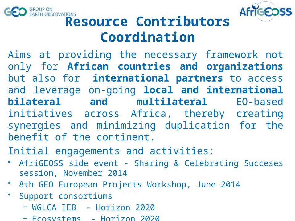
Aims at providing the necessary framework not only for African countries and organizations but also for international partners to access and leverage on-going local and international bilateral and multilateral EO-based initiatives across Africa, thereby creating synergies and minimizing duplication for the benefit of the continent.
Initial engagements and activities:• AfriGEOSS side event - Sharing & Celebrating Succeses session, November 2014 • 8th GEO European Projects Workshop, June 2014• Support consortiums
– WGLCA IEB - Horizon 2020– Ecosystems - Horizon 2020 – Climate services - ESA INNOVATOR III
• Leverage planned workshops and conference
Resource Contributors Coordination
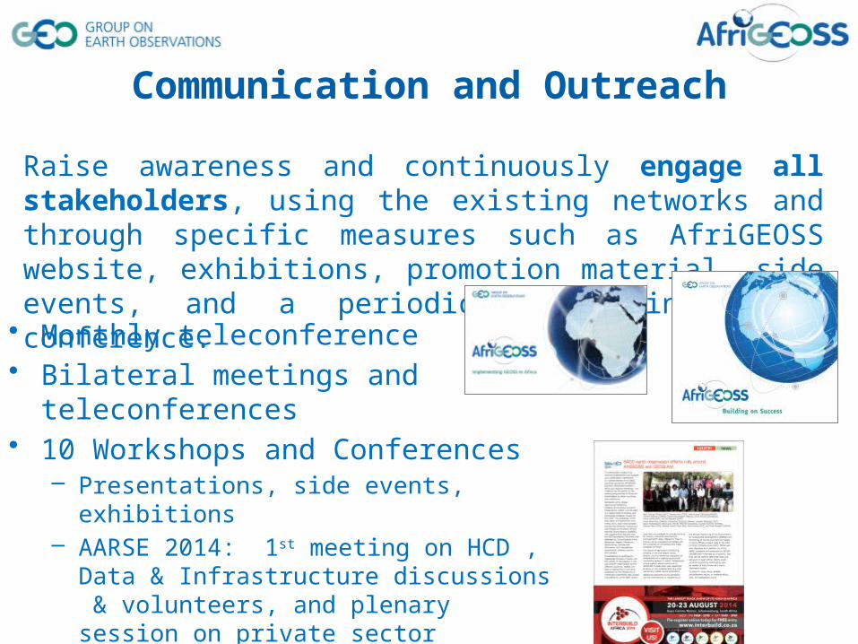
Raise awareness and continuously engage all stakeholders, using the existing networks and through specific measures such as AfriGEOSS website, exhibitions, promotion material, side events, and a periodic GEOSS in Africa conference.
Communication and Outreach
• Monthly teleconference• Bilateral meetings and teleconferences• 10 Workshops and Conferences
– Presentations, side events, exhibitions– AARSE 2014: 1st meeting on HCD , Data &
Infrastructure discussions & volunteers, and plenary session on private sector engagement
http://www.earthobservations.org/afrigeoss.php

AfriGEOSS & Capacity Building Side Event
Meet & Greet the AfriGEOSS Style – What’s your passion?Contributions & Partner RequirementsWalking the Talk - Personal and Institutional Commitments!Celebrate and Share Successes!!!
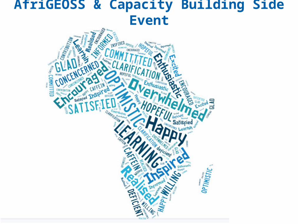
AfriGEOSS & Capacity Building Side Event