CSCI 578 Software Architectures Dr. Chris Mattmann Tuesday, January 13, 2009.
Upload
aubrey-hunterCategory
view
217download
3
Week 4JPL Snow Server
Chris Mattmann, Thomas H. Painter, NASA Jet Propulsion Laboratory
California Institute of Technology
ARSET
Applied Remote SEnsing Training
A project of NASA Applied Sciences

ARSET-SNOW-W4 2
Outline: Introduction to the Snow Data System
1 Data Sets and Functionality2 Near Real Time and Historical MODIS
Snow Cover and Size processing systems3 Near Real Time and Historical MODIS Dust
Radiative Forcing processing systems4 Data Access: Western Energy Balance of Snow (WEBS) SNOWMAP (map overlays) Web-based Distributed Authoring and Versioning (WebDAV)
Feb-2-2013

ARSET-SNOW-W4 3
Objectives
• Understand how we get from raw MODIS surface reflectance products, and LANCE MODIS near real-time (NRT) products to Snow Covered Area and Grain Size, and Dust radiative forcing products
• Understand how to get data from JPL Snow Server
• Understand how to use JPL WEBS and SNOWMAP
Feb-2-2013

ARSET-SNOW-W4 4
Satellite Sensors Quantities
Terra MODerate Resolution Imaging Spectroradiometer (MODIS)
500 m spatial resolution~daily temporal resolution
• Snow covered area• Snow albedo• Snow grain size• Dust/BC radiative
forcing
Aqua MODerate Resolution ImagingSpectroradiometer (MODIS) 500 m spatial resolution~daily temporal resolution
• Snow covered area• Snow albedo• Snow grain size• Dust/BC radiative
forcing
NPOESS Preparatory
Project (NPP)- Suomi
Visible Infrared Imaging Radiometer Suite (VIIRS)
750m spatial resolution~daily temporal resolution
• Snow covered area• Snow albedo• Snow grain size• Dust/BC radiative
forcing
Landsat Data Continuity Mission
(LDCM)(launch February
2013)
Operational Land Imager (OLI)
30 m spatial resolution16-day temporal resolution
• Snow covered area• Snow albedo• Snow grain size• Dust/BC radiative
forcing
Satellites providing Snow Products
Feb-2-2013

ARSET-SNOW-W4 5
JPL Snow Server
• http://snow.jpl.nasa.gov
• Full bore processing and delivery system– Near real time and
historical processing– Dust forcing and snow
covered area products– Tower data– GIS interfaces– CSV, JSON, GeoTIFF
data format downloadFeb-2-2013

Apache OODT• Entered “incubation” at the Apache
Software Foundation in 2010
• Selected as a top level Apache Software Foundation project in January 2011
• Developed by a community of participants from many companies, universities, and organizations
• Used for a diverse set of science data system activities in planetary science, earth science, radio astronomy, biomedicine, astrophysics, and more
OODT Development & user community includes:
http://oodt.apache.org
Feb-2-2013 ARSET-SNOW-W4 6

ARSET-SNOW-W4 7
• All Core components implemented as web services– XML-RPC used to communicate between components– Servers implemented in Java– Clients implemented in Java, scripts, Python, PHP and web-apps– Service configuration implemented in ASCII and XML files
Apache OODT Core Components
Feb-2-2013

ARSET-SNOW-W4 8
JPL MODSCAG algorithm(Painter et al 2009)Spectral mixture analysis of MODIS Surface Reflectance products
Daily 500 m coverage in late morning and early afternoon from NASA satellites Terra and Aqua
MODIS Snow Covered Area and Grain Size (MODSCAG)
Upper Colorado River BasinMarch 9, 2009
Feb-2-2013

ARSET-SNOW-W4 9
MODSCAG Processing: Two Products/ Two Inputs
• MODIS tiles are defined by their horizontal and vertical tile IDs (the 2 characters after the h and the v respectively)
• Historical Tiles over the Western United States (LPDAAC)– Time Range: 2000 - Present– h08v04, h08v05, h09v05, h09v04, h10v04– LPDAAC is NASA Land Processes data center located at the USGS
Earth Resources Observation and Science (EROS) Center in Sioux Falls, South Dako
• MODIS Near Real-Time Products (LANCE MODIS NRT)– Time Range: Dec 2011 - Present– Western United States– High Asia
Feb-2-2013

ARSET-SNOW-W4 10Feb-2-2013

ARSET-SNOW-W4 11Feb-2-2013

ARSET-SNOW-W4 12
Dust R
adia
tive Fo
rcing
(W/m
2)
300
200
100
0
MODDRFSDust Radiative Forcing in Snow from MODISPainter and Bryant, 2012
17 May 2009
Dust Radiative Forcing
Feb-2-2013

ARSET-SNOW-W4 13
Obtain MOD09GA Surface Reflectance Tiles for the Upper Colorado River Basin (h08v05, h09v04, h09v05, h10v05).
MODSCAG/MOD-DRFS file preparation: HDF extraction of surface reflectance bands, cloud properties, solar and sensor geometry.
MOD-DRFS algorithm computes radiative forcing by dust on snow.
MODSCAG/MOD-DRFS post-processing: cloud masking and de-striping
Dust Radiative Forcing Processing
Feb-2-2013

ARSET-SNOW-W4 14
Dr. Tom Painter’s Western Energy Balance of Snow (WEBS) Tower
Network
• Network of heavily instrumented towers in snow- covered regions to facilitate modeling of the energy balance and melt of the snow cover, and dust/BC radiative forcing in the snow cover.
• Standard measurements of meteorology (air temperature, wind speed, relative humidity, all at two heights), also incident and reflected broadband solar radiation and incident and reflected near infrared/shortwave infrared solar radiation
Feb-2-2013

ARSET-SNOW-W4 15
Western Energy Balance of Snow
• Western Energy Balance of Snow(WEBS)– Historical And Near-Real-Time Access
• Towers deployed in several key snow areas
• Connect to towers and pull down data actively
Feb-2-2013
ARSET-SNOW-W4 16
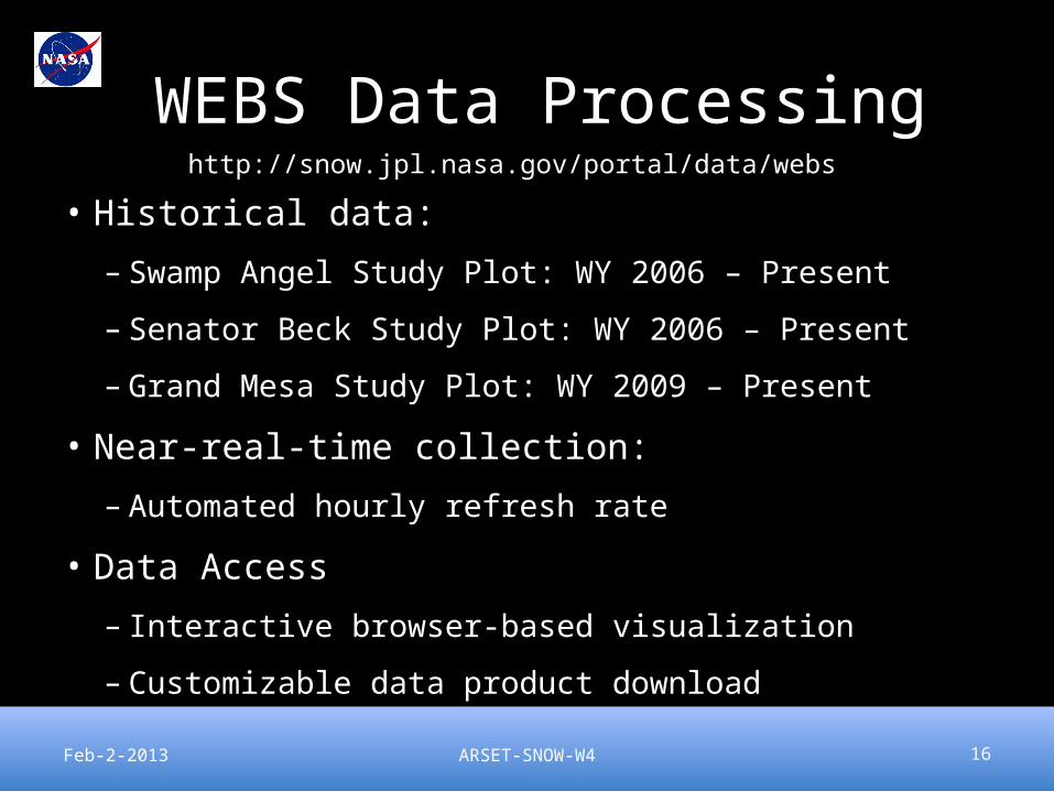
WEBS Data Processing
• Historical data:
– Swamp Angel Study Plot: WY 2006 – Present
– Senator Beck Study Plot: WY 2006 – Present
– Grand Mesa Study Plot: WY 2009 – Present
• Near-real-time collection:
– Automated hourly refresh rate
• Data Access
– Interactive browser-based visualization
– Customizable data product downloadFeb-2-2013
http://snow.jpl.nasa.gov/portal/data/webs

ARSET-SNOW-W4 17
WEBS Data Collection Architecture
1) Data from SASP and SBSP staged to ftp.snowstudies.org
2) Data from GMSP obtained by direct connection to the tower
3) A Cron job pulls down the latest hourly data
4) Data from all stations is homogenized and cleaned
5) Data is stored in MongoDB for fast, scalable querying
6) Data is selectively extracted and formatted as needed for data delivery
7) Users interact with, and request, data via a browser-based interface.
Feb-2-2013

ARSET-SNOW-W4 18
WEBS Browser Interface
• Access to tower-specific information
• Access to the full range of historical data
Feb-2-2013
http://snow.jpl.nasa.gov/portal/data/webs

ARSET-SNOW-W4 19
WEBS Browser Interface
• Detailed Tower Information
• Geographical location
• Equipment background
• Latest observational data
• Site Photos
•Data Download via CSV
Feb-2-2013

ARSET-SNOW-W4 20
WEBS Browser Interface
• Interactive data visualization
• Select towers
• Select parameters
• Select date ranges
• Select download formatas CSV, JSON, etc.
Feb-2-2013

SNOWMAP– http://snow.jpl.nasa.gov/portal/data/map
• Showingsnow coveredarea layer and clouds
• Productsavailableas WMS(variety offormats)

Access to Snow Products via GIS
• Use GIS tools (shown in next slides after terminology) to– Download Snow datasets as GeoTIFF,
Raster– Reproject the data into your own
coordinate reference systems– Browse/interact with the data– Store the data in databases like PostGIS
and compute distances, geometric functions, etc.

ARSET-SNOW-W4 23
GIS Terminology• OGC - The Open Geospatial Consortium is an international consortium of companies,
government agencies, and universities participating in a consensus process to develop publicly available geospatial and location-based services. Interfaces and protocols defined by OpenGIS specifications support interoperability and seek to integrate geospatial technologies with wireless and location-based services
• Raster - A spatial data model that defines space as an array of equally sized cells arranged in rows and columns, and composed of single or multiple bands. Each cell contains an attribute value and location coordinates. Unlike a vector structure, which stores coordinates explicitly, raster coordinates are contained in the ordering of the matrix. Groups of cells that share the same value represent the same type of geographic feature.
• Vector - A coordinate-based data model that represents geographic features as points, lines, and polygons. Each point feature is represented as a single coordinate pair, while line and polygon features are represented as ordered lists of vertices. Attributes are associated with each vector feature, as opposed to a raster data model, which associates attributes with grid cells.
• KML - Keyhole Markup Language (KML) is an XML notation for expressing geographic annotation and visualization within Internet-based, two-dimensional maps and three-dimensional Earth browsers. Originally developed by Google for Google Earth and later turned over to the OGC for standardization.
Feb-2-2013
Credit Paul Ramirez 2011-2012

ARSET-SNOW-W4 24
GIS Terminology Con’t• Map - A graphic representation of the spatial relationships of entities within
an area. • WMS - is a standard protocol for serving georeferenced map images over the
Internet that are generated by a map server using data from a GIS database. The specification was developed and first published by the OGC in 1999
• Feature - A representation of a real-world object on a map.• WFS - The OGC Web Feature Service Interface Standard (WFS) provides an
interface allowing requests for geographical features across the web using platform-independent calls. One can think of geographical features as the "source code" behind a map.
• Coverage – Mapping of one aspect of data in space. It represents a “domain” in terms of of characteristics expressing a range of values. For example: a satellite image derived from remote sensing might record varying degrees of light pollution. Aerial photography, land cover data, and digital elevation models all provide coverage data.
• WCS – The OGC Web Coverage Service (WCS) provides and interface allowing requests for geographical coverages across the web using platform-independent calls.
Feb-2-2013
Credit Paul Ramirez 2011-2012

ARSET-SNOW-W4
Source: http://foss4g-na.org/wp-content/uploads/2012/03/RamseyKeynote.pdf
GIS Architecture Stack
Feb-2-2013 25
Credit Paul Ramirez 2011-2012

ARSET-SNOW-W4 26
GIS tools for JPL Snow Server Data
Feb-2-2013
Credit Paul Ramirez 2011-2012

ARSET-SNOW-W4 27
Web Map Controls
Feb-2-2013
Credit Paul Ramirez 2011-2012

ARSET-SNOW-W4 28
Desktop
Feb-2-2013
Credit Paul Ramirez 2011-2012

Snow Map Architecture
GIS Server
PostGISGeoTIFFs on Disk
ESRI Basemaps
Snow Map
WMS Tiles
Snow Data System
Publish
Spatial / Attribute Query
Data Access
Layers availableSnow CoverGrain SizeCloudsDust Forcing
http://snow.jpl.nasa.gov/gis/wms
Credit Paul Ramirez 2011-2012

Snow Map Detail
• Use WMS - http://snow.jpl.nasa.gov/gis/wms o Many GIS components support this out of the box. o For instance, Leaflet that we use for our map
• Layers exposed via WMS will be timed basedo Historical dataseto Lance NRT
• Define styles for the data using Styled Layer Descriptoro SLD is a standard and supported by most GIS serverso Easily change styles or support multiple styles per layero Clients can pick from available styles on a layer
• Expose tower based information using WFSo Click on a tower to get a graph
• Publish our own basemap if neededo For instance a hillshade or color hillshade on the DEM used during
processing
Credit Paul Ramirez 2011-2012

Data Browse and Download
• Click on data tab
Click Snow data product browser

Data Product Browse/Download
• Selectdust forcing(MOD-DRFS)or Snow CoveredArea (MODSCAG)

Product File Browser
• Select a product
• View receivedtime
• Sorted by received time– Latest on top

Per Product Metadata
• View product metadata including upstream pedigree, and processing information

WebDAV Data Delivery
• Web-based Distributed Authoring and Versioning (WebDAV)
• Clients available on every major operating system– Can mount as disk on Mac– Can mount as folder on Windows

Data available on WebDAV
• Snow Covered Area– Historic pipeline and NRT
• Dust Radiative Forcing– Historic pipeline and NRT
• URLs and user accounts are provided to users after agreement with Dr. Painter

ARSET-SNOW-W4 37
Collaborations and Users
• Funded work on NASA Water Resources, and on Airborne Snow Observatory demonstration– NOAA Colorado Basin River Forecast Center– California Department of Water Resources– Bureau of Reclamation
• Discussions ongoing with ESRI and Google Earth Engine
• Partnering with UCLA on WEBS – McKenzie Skiles
• NSIDC, Mary Jo Brodzkik & Marilyn Kamanski
Feb-2-2013
ARSET-SNOW-W4 38
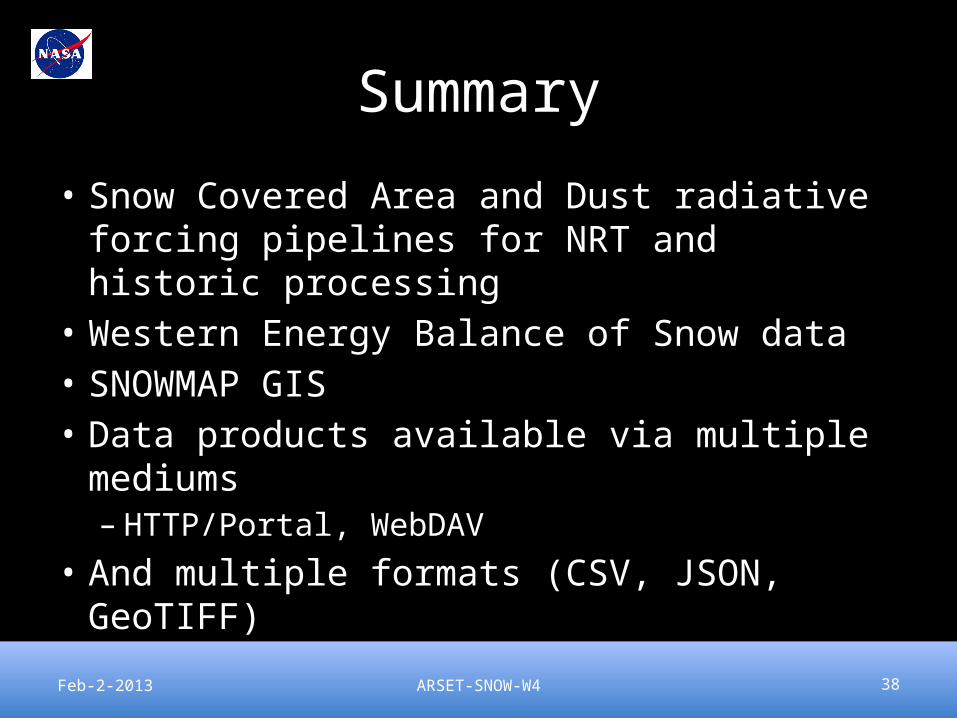
Summary
• Snow Covered Area and Dust radiative forcing pipelines for NRT and historic processing
• Western Energy Balance of Snow data• SNOWMAP GIS• Data products available via multiple
mediums– HTTP/Portal, WebDAV
• And multiple formats (CSV, JSON, GeoTIFF)
Feb-2-2013

ARSET-SNOW-W4 39
You’re done!
• We hope you have had a great experience!
• Feedback about course content – expect a survey from us it will be short and will help us make the course useful to YOU
• Thank you!
Feb-2-2013