The Interweb, Google and that Facebook thing Making sense of it all.
Upload
damian-harrisonCategory
view
214download
0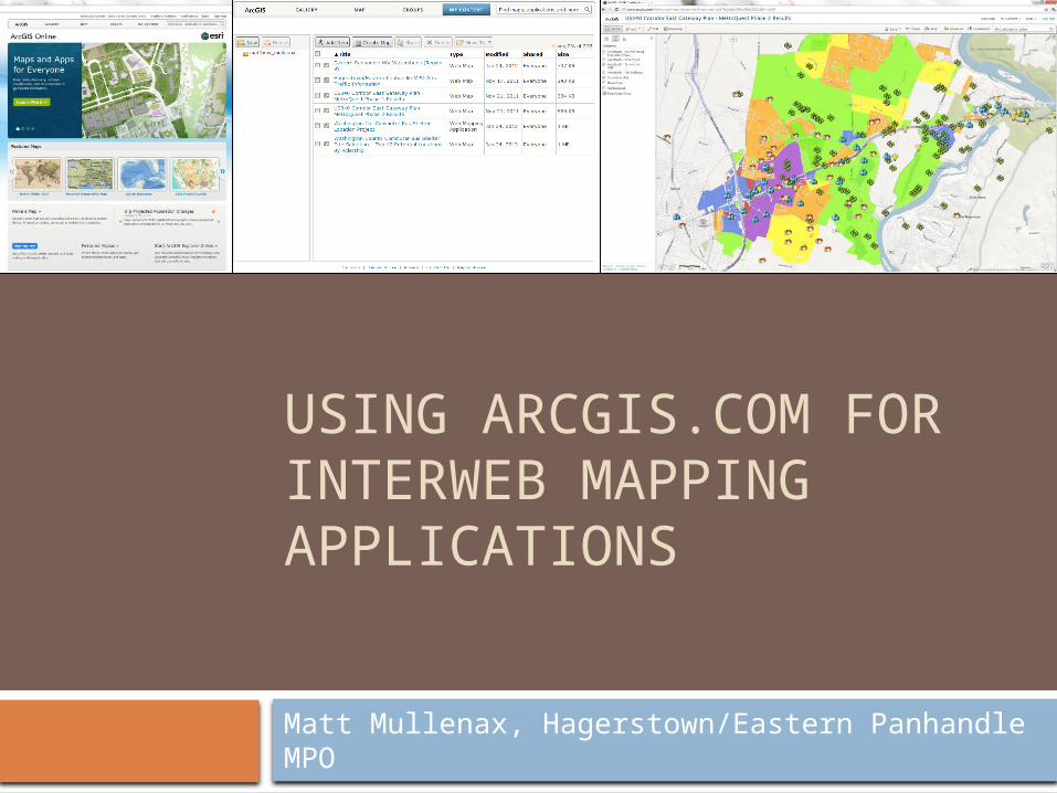
USING ARCGIS.COM FOR INTERWEB MAPPING APPLICATIONS
Matt Mullenax, Hagerstown/Eastern Panhandle MPO

What is ArcGIS.com?
ESRI’s ArcGIS Online is a cloud-based, collaborative content management system for maps, apps, data and other geographic information.
Allows non-programmers to deploy and share webernet maps containing their own GIS data for free through the ArcGIS.com map viewer.

ArcGIS.com Specifics
Create a free ESRI global account. Number of mapping applications and
amount of data limited to 2GB. These mapping applications can be shared
with a group or the public through web browser, smart phone apps, social media and emails.
Can also be embedded into websites. Use Mozilla Firefox or Google Chrome for
best performance.

ArcGIS.com Specifics cont’d… Can import .shp (zipped), .csv/.txt, .gpx files,
as well as content from ArcGIS Online (including base layers accessible on Desktop).
Imported files cannot have >1,000 features (or 250 addresses) and are projected on the fly.
Layers editable for multiple authors, and edits are tracked.
ArcGIS Desktop and ArcGIS Explorer (Desktop and Online) can access web maps.
DEMONSTRATION