The emerge of Semantic Geoportals
22
University of the Aegean, Department of Geography The emerge of Semantic Geoportals Athanasis Nikolaos Konstantinos Kalabokidis Vaitis Michail Soulakellis Nikolaos
-
Upload
speranza-arkins -
Category
Documents
-
view
27 -
download
1
description
The emerge of Semantic Geoportals. Athanasis Nikolaos Konstantinos Kalabokidis Vaitis Michail Soulakellis Nikolaos. Agenda. Web portals and geo-portals The Semantic Web The emerge of semantic geo-portals Related work Summary & future work. The World Wide Web today. html web browsers - PowerPoint PPT Presentation
Transcript of The emerge of Semantic Geoportals

Un
iver
sity
of
the
Aeg
ean
,
D
epar
tmen
t of
Geo
grap
hy
The emerge of Semantic Geoportals
Athanasis Nikolaos
Konstantinos Kalabokidis
Vaitis Michail
Soulakellis Nikolaos
Un
iver
sity
of
the
Aeg
ean
,
D
epar
tmen
t of
Geo
grap
hy
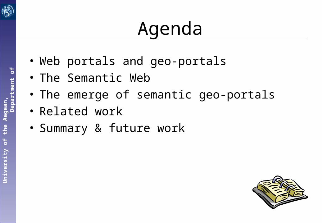
Agenda
• Web portals and geo-portals• The Semantic Web• The emerge of semantic geo-portals• Related work• Summary & future work

Un
iver
sity
of
the
Aeg
ean
,
D
epar
tmen
t of
Geo
grap
hy
The World Wide Web today
• html
• web browsers
• hyperlinks

Un
iver
sity
of
the
Aeg
ean
,
D
epar
tmen
t of
Geo
grap
hy
Web Portals
Web Portal: A single point of access to information - a library of categorized and personalized content rich organization
of information
personalized content (customization)

Un
iver
sity
of
the
Aeg
ean
,
D
epar
tmen
t of
Geo
grap
hy
Geo-portals
Geo-portals: online access to collections of geospatial data
rich organization of information
rich organization of spatial information
interactive GIS mapping

Un
iver
sity
of
the
Aeg
ean
,
D
epar
tmen
t of
Geo
grap
hy
How geo-portals work
• Information providers: publishing GIS data and services
• Geo-portal: provides the rich organization of GIS data through its GUI
• GIS user community: searches the portal and exploits data of interest

Un
iver
sity
of
the
Aeg
ean
,
D
epar
tmen
t of
Geo
grap
hy
Exploiting geo-data

Un
iver
sity
of
the
Aeg
ean
,
D
epar
tmen
t of
Geo
grap
hy
The role of metadata in geoportals
• Information providers publish metadata (descriptions about the data they want to share)
• The (catalog) geo-portal organizes the metadata in metadata records
• Users search the metadata records and
exploit data Or view metadata records

Un
iver
sity
of
the
Aeg
ean
,
D
epar
tmen
t of
Geo
grap
hy
publishing metadataSubmit metadata
through GUI
Metadata harvesting

Un
iver
sity
of
the
Aeg
ean
,
D
epar
tmen
t of
Geo
grap
hy
Geospatial metadata standards
• American Standard:– CSDGM (Content Standard for Digital Geospatial Metadata)
• European Standard:– CEN/TC287 (European Committee for Standardization )
• EN ISO 19115:2005
Metadata =
Identification_Information +
{Data_Quality_Information} +
{Spatial_Data_Organization_Information} +
{Spatial_Reference_Information} +
{Entity_and_Attribute_Information} +
{Distribution_Information}

Un
iver
sity
of
the
Aeg
ean
,
D
epar
tmen
t of
Geo
grap
hy
Current implications
• Lack of a uniform framework for describing geographic metadata– Deficiency to integrate / publishing metadata in geo-portals
• Current standards are unable to capture the data semantics they describe
• Semantic heterogeneity– Semantic conflicts in modeling - terminology (i.e. homonyms,
synonyms)– Insufficiency of XML (GML) to solve semantic discrepancies

Un
iver
sity
of
the
Aeg
ean
,
D
epar
tmen
t of
Geo
grap
hy
The Semantic Web• rich semantic organization
– ontologies (description schemata)
• RDFS, OWL
– resource descriptions
• RDF
• navigation based on conceptual relationships – semantic hyperlinks

Un
iver
sity
of
the
Aeg
ean
,
D
epar
tmen
t of
Geo
grap
hy
…and the geospatial Semantic Web• Development of spatial
ontologies and with a formal semantics
• Classification of geo-data under the appropriate classes of the ontologies
• Processing of geospatial queries against these semantic ontologies

Un
iver
sity
of
the
Aeg
ean
,
D
epar
tmen
t of
Geo
grap
hy
title
Metadata catalogs of a Semantic Geo- Portal in RDF
belongsToThemeEnumeration live data
Downloadabledocuments
ArcIMS service
Documents
Static documents
Map File
downloadablecontent
“….”
“…”
“…”
“…”
“vector”
publisher
description
on-linelinkage
spatial info
Metadatarecord
Feature serviceImage service
relatedcontent
serverURLString
title String
String
String
String
Enumeration
publisher
description
on-linelinkage
spatial info
&r1
&r2
&r3
relatedcontent
r1: www.geoportal.com/services/r1
downloadablecontent &r4
r2: www.geoportal.com/maps/r2
r3: www.geoportal.com/r3
r4: www.geoportal.com/download/r4
belongsToTheme
Natural Disasters
serverURL
“…”belongsToTheme
Natural Disasters
serverURL
“…”
Stringfile size
“…”
file size

Un
iver
sity
of
the
Aeg
ean
,
D
epar
tmen
t of
Geo
grap
hy
• Semantic navigation through– hierarchies of classes/properties– concept relationships– resources relationships
• semantic querying– data/schema querying– filtering conditions
• representation of geo-data– Mapping – Live data maps (Web Map Service- WMS)
• Publishing/representation of metadata according to spatial ontologies
Requirements for semantic geo-portals

Un
iver
sity
of
the
Aeg
ean
,
D
epar
tmen
t of
Geo
grap
hy
• expresses the semantic meaning of the geospatial resources using RDFS ontologies and RDF resource descriptions
• exploits a declarative query language (RQL) to resource descriptions
– filtering – on demand construction of RQL queries
• according to user navigation in the schema/data
Our solution

Un
iver
sity
of
the
Aeg
ean
,
D
epar
tmen
t of
Geo
grap
hy
Examples:• Find all image services about natural disasters as
well as related documents about them:
• Find the descriptions of the Map Files that you can download:
Our solution [cont]
select X1,X2
from {X1;Image_Service}related_content{X2;Documents},
{X1;Image_Service}belongsToTheme{X3}
where X3 = “Natural Disasters”
select W from
{;Map_Files}downloadable_content{X2;Downloadable_Documents},
{;Metadata_record}description{W}

Un
iver
sity
of
the
Aeg
ean
,
D
epar
tmen
t of
Geo
grap
hy
– Uses open source map tools• MapTools (image server)• WMS (GIS services)• php + apache (web server)
– Provides customization capabilities through the portlet framework of Jetspeed
Our solution [cont]
portlets: pluggable,
reusable components
of portal

Un
iver
sity
of
the
Aeg
ean
,
D
epar
tmen
t of
Geo
grap
hy
Related work
Semantic portals: ICS-FORTH Portal http://139.91.183.30:8999/
RQLdemo
geo-portals: Geospatial-One-Stop
http://gos2.geodata.gov/

Un
iver
sity
of
the
Aeg
ean
,
D
epar
tmen
t of
Geo
grap
hy
Summary
• Portals, geo-portals, metadata catalogs
• The current organization in geo-portal’s metadata catalogs is unable to capture the semantics of the data being described
• Semantic geo-portals: • organize their resources according to geospatial ontologies• exploit semantic query languages (RQL) to provide access to
information resources corresponding to the user’s navigation paths.

Un
iver
sity
of
the
Aeg
ean
,
D
epar
tmen
t of
Geo
grap
hy
Future Work
• Development of the appropriate geo-ontologies
• Design of the geo-portal system

Un
iver
sity
of
the
Aeg
ean
,
D
epar
tmen
t of
Geo
grap
hy Thank you