The Australian Hydrological Geospatial Fabric Implementation Project Rob Atkinson WIRADA Projects...
24
The Australian Hydrological Geospatial Fabric Implementation Project Rob Atkinson WIRADA Projects Kick-off September 5 2008 Water for a Healthy Country
-
Upload
richard-jonas-jackson -
Category
Documents
-
view
216 -
download
1
Transcript of The Australian Hydrological Geospatial Fabric Implementation Project Rob Atkinson WIRADA Projects...

The Australian Hydrological Geospatial Fabric Implementation Project
Rob Atkinson
WIRADA Projects Kick-off
September 5 2008
Water for a Healthy Country
Insert presentation title
Context
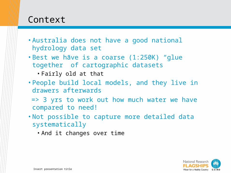
• Australia does not have a good national hydrology data set• Best we have is a coarse (1:250K) “glue together” of
cartographic datasets• Fairly old at that
• People build local models, and they live in drawers afterwards
=> 3 yrs to work out how much water we have compared to need!
• Not possible to capture more detailed data systematically• And it changes over time
Insert presentation title
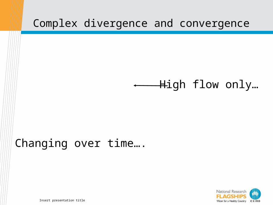
Complex divergence and convergence
Changing over time….
High flow only…
Insert presentation title
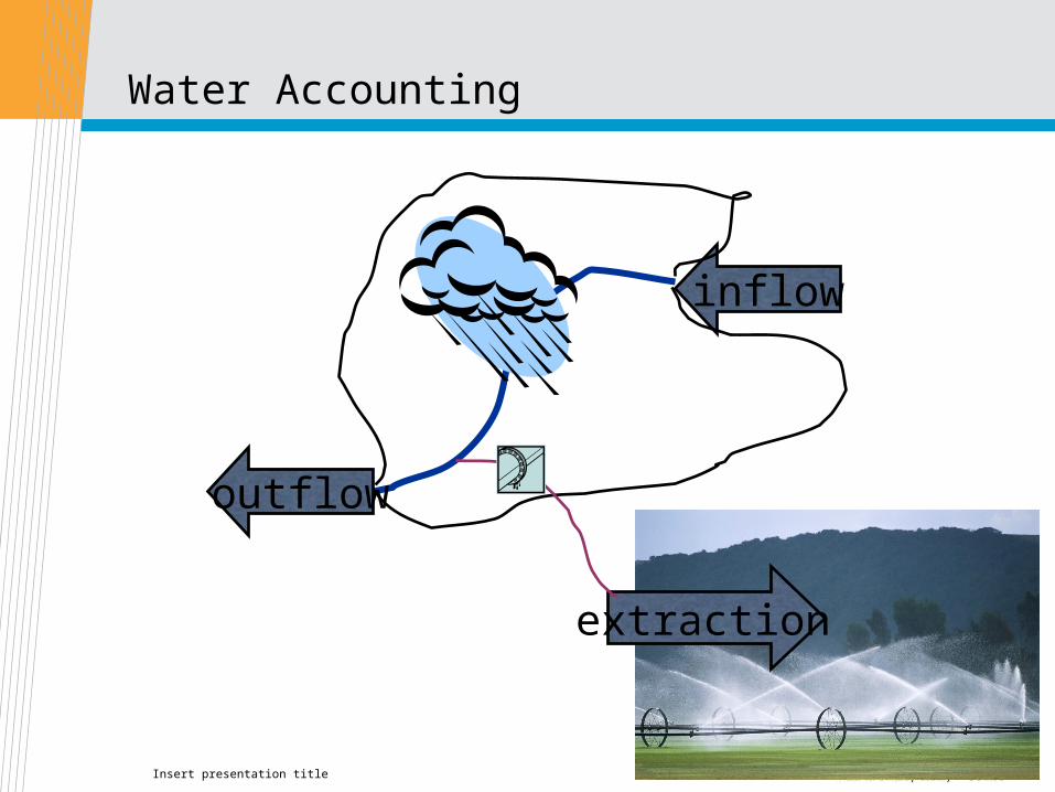
Water Accounting
inflow
outflow
extraction

Insert presentation title
Issues• And we don’t agree on what constitutes a stream….• (within a single state!)

Insert presentation title
Issues
• Or agree on what they are called so we can store, share, integrate safely..
100
1002
1001
10012
10011 Frogspawn Dam
100121
Insert presentation title
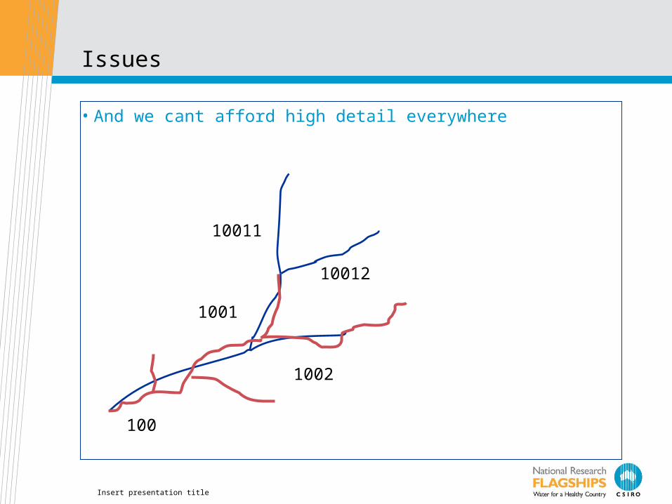
Issues
• And we cant afford high detail everywhere
1002
1001
10012
10011
100

Insert presentation title
So…
• Bureau of Meteorology (BoM) is charged with creating a water resources information system
• The “Hydrological GeoFabric” will provide a common basis for integrating related data
• What must it look like?• Not like what has gone before…
• Needs to be maintainable
• Extensible to cover other aspects
• Provide stability for identifiers
• Allow piece-wise addition of detail
• CSIRO will design and test a solution over the coming 12 months

Insert presentation title
Implications for OGC
• CSIRO has helped initiate this DWG so we don’t operate in vacuum
• We will be using definitions from international sources• But refactoring from single-use implementations into reusable
model components
• (We have a superset of INSPIRE, NHD Use Cases, for example)
• BoM holds chair of the WMO Commission for Hydrology• If we can develop a AHGF that uses an implementation-neutral
conceptual model, WMO can adopt.• This project will be directly testing INSPIRE Hydrography
theme and proposing a modular approach that allows WMO/INSPIRE/AHGF to share a common conceptual model
• Validating against ArcHydro implementation of derived data products
Insert presentation title
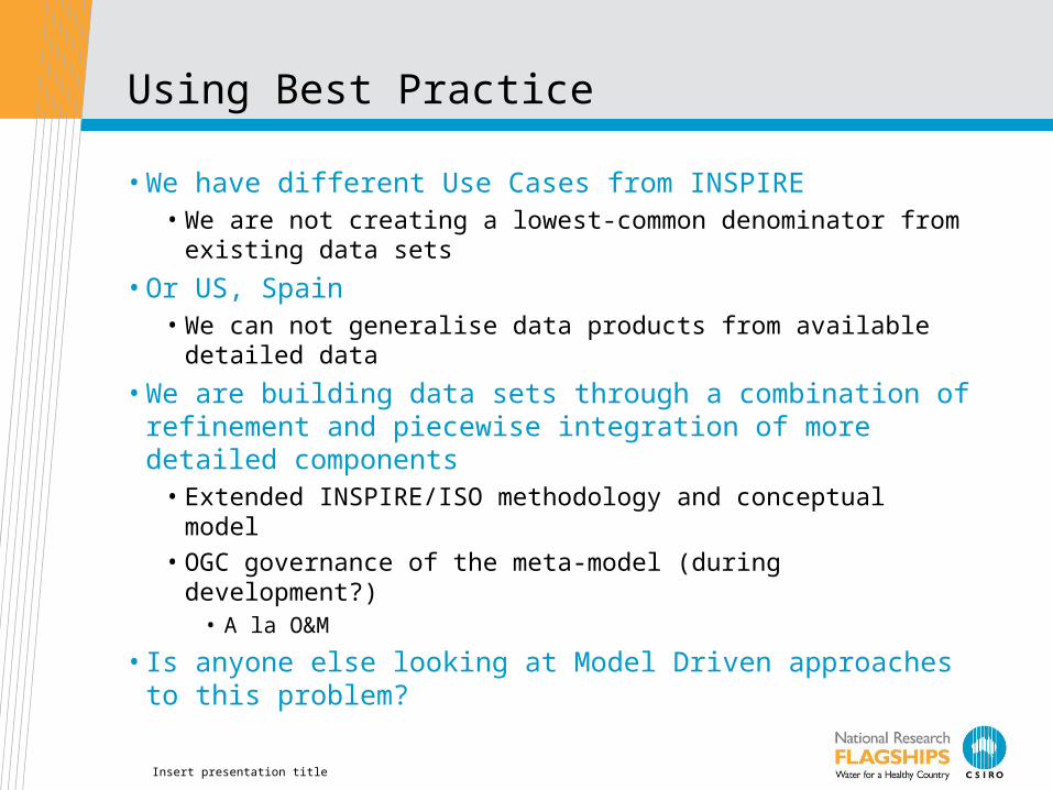
Using Best Practice
• We have different Use Cases from INSPIRE• We are not creating a lowest-common denominator from existing
data sets
• Or US, Spain• We can not generalise data products from available detailed data
• We are building data sets through a combination of refinement and piecewise integration of more detailed components
• Extended INSPIRE/ISO methodology and conceptual model
• OGC governance of the meta-model (during development?)• A la O&M
• Is anyone else looking at Model Driven approaches to this problem?

Insert presentation title
Key challenges
• A set of problems to be solved:• Known issues with status quo – motivation for investment.
• Domain specific:• What objects? What scales?• Hydrological connectivity• Identifiers
• Common (“framework data set”):• Update cycles• Partitioning of large problem into phased work packages• Multiple scales• Maintaining versions• Topological consistency• Derivation of multiple products from a knowledge base• Documentation – ease of creation, maintenance and use• Stakeholder engagement – value accrues through adoption
Insert presentation title
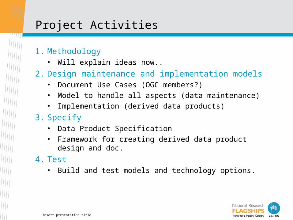
Project Activities
1. Methodology• Will explain ideas now..
2. Design maintenance and implementation models• Document Use Cases (OGC members?)
• Model to handle all aspects (data maintenance)
• Implementation (derived data products)
3. Specify• Data Product Specification
• Framework for creating derived data product design and doc.
4. Test• Build and test models and technology options.
Insert presentation title
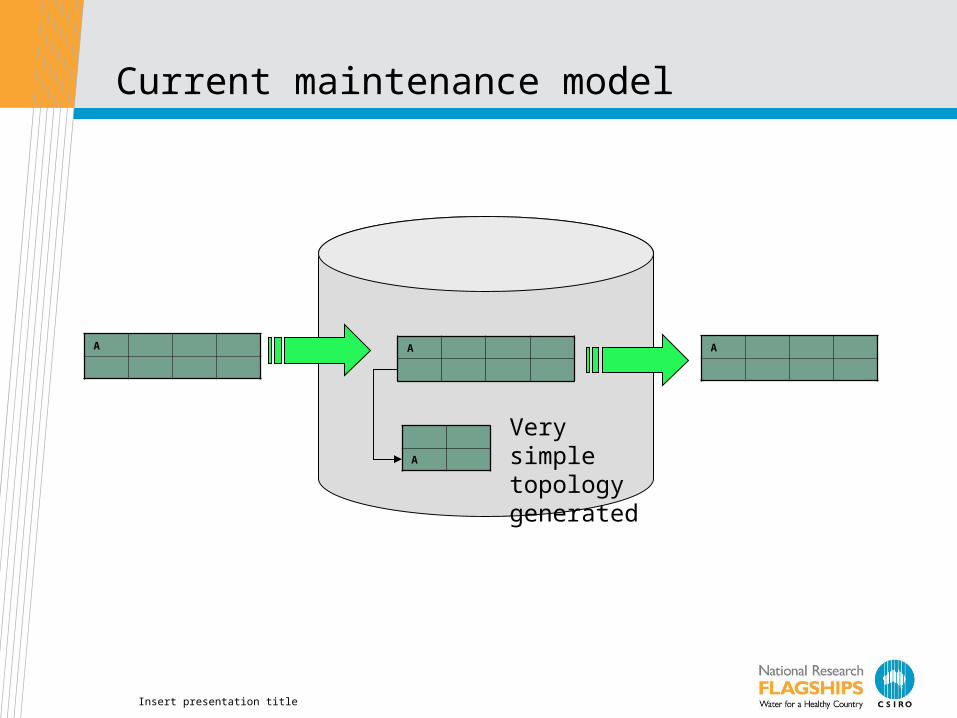
Current maintenance model
A
A
A A
Very simple topology generated

Insert presentation title
A Very Conceptual Architecture

Insert presentation title
Role of conceptual model
Conceptual Model
ArcHydroImplementation
Data maintenanceenvironment
CartographicProduct
Gazetteers(lists of controlled
identifiers)
Node/Link
AWRISdiscovery
Related dataspecificationsAnalysis Models
“Model data integration” exploiting ids and common semantics
Insert presentation title
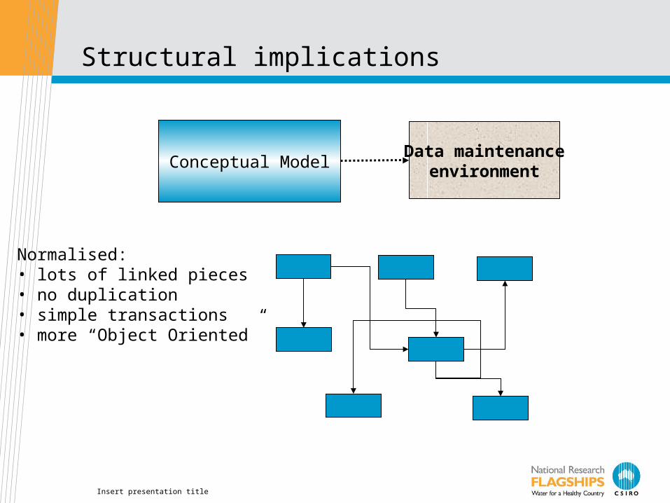
Structural implications
Conceptual ModelData maintenance
environment
Normalised:• lots of linked pieces• no duplication• simple transactions• more “Object Oriented”

Insert presentation title
Concrete data products
Conceptual Model
ArcHydroImplementation
Data maintenanceEnvironment
CartographicProduct
Gazetteers(lists of controlled
identifiers)
Node/Link
A CA C A B
A
A B
Logical Views
Data
ImplementationSpecifications
Insert presentation title
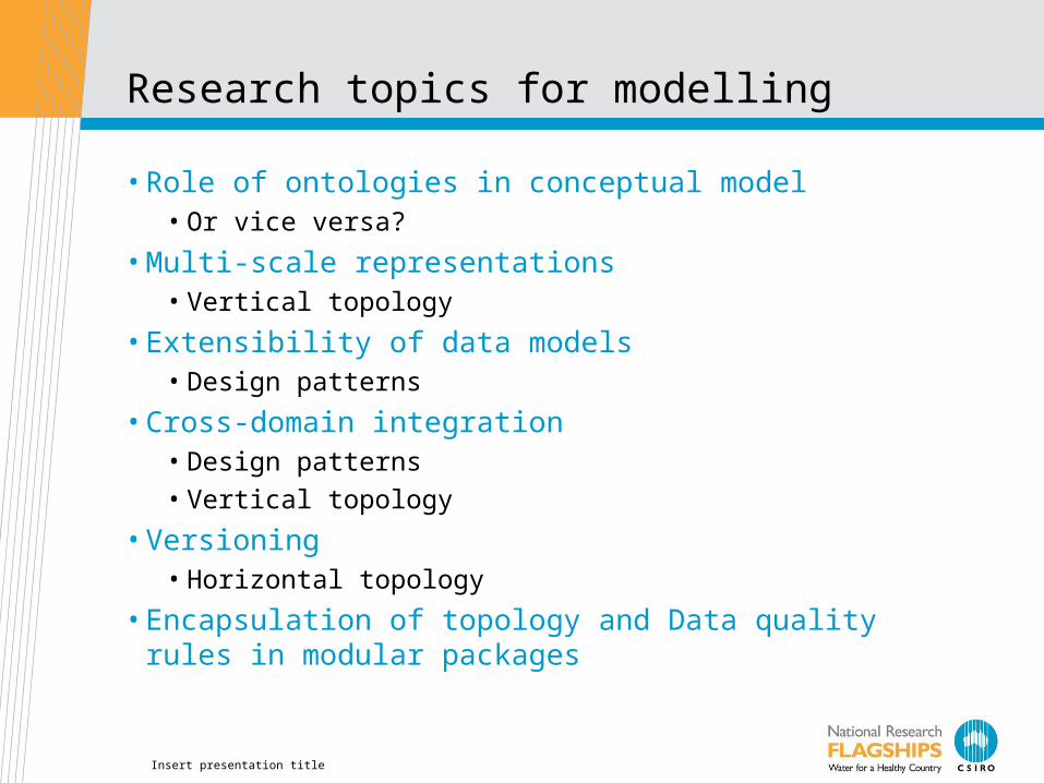
Research topics for modelling
• Role of ontologies in conceptual model• Or vice versa?
• Multi-scale representations• Vertical topology
• Extensibility of data models• Design patterns
• Cross-domain integration• Design patterns
• Vertical topology
• Versioning• Horizontal topology
• Encapsulation of topology and Data quality rules in modular packages
Insert presentation title
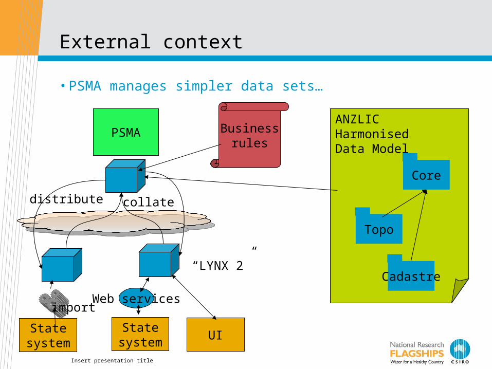
External context
• PSMA manages simpler data sets…
PSMA
Statesystem
ANZLICHarmonisedData Model
Core
Topo
Cadastre
collatedistribute
Businessrules
import
Statesystem
Web services
UI
“LYNX 2”
Insert presentation title
CommonwealthAgency
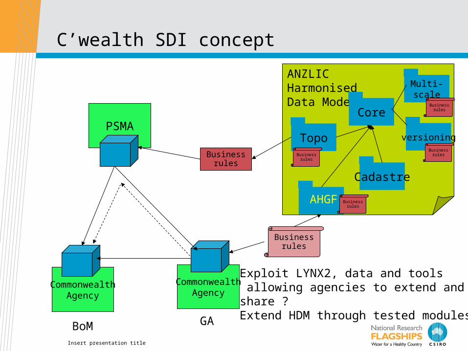
C’wealth SDI concept
PSMA
ANZLICHarmonisedData Model
Core
Topo
??
Businessrules
Businessrules
CommonwealthAgency
Exploit LYNX2, data and tools allowing agencies to extend and share ?Extend HDM through tested modules.GABoM
Cadastre
Multi-scale
versioningBusiness
rules
Businessrules
AHGF Businessrules
Businessrules
Insert presentation title
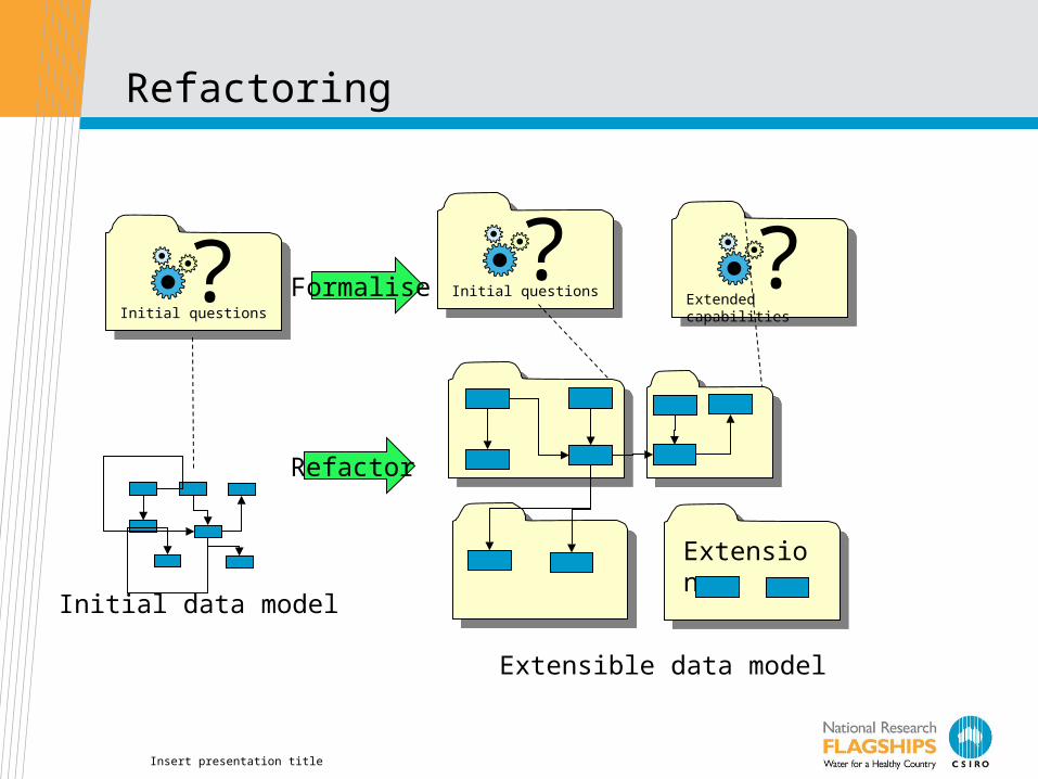
Refactoring
ExtensionExtension
Refactor
?Initial questions
?Initial questions ?
Extended capabilitiesFormalise
Initial data model
Extensible data model
Insert presentation title
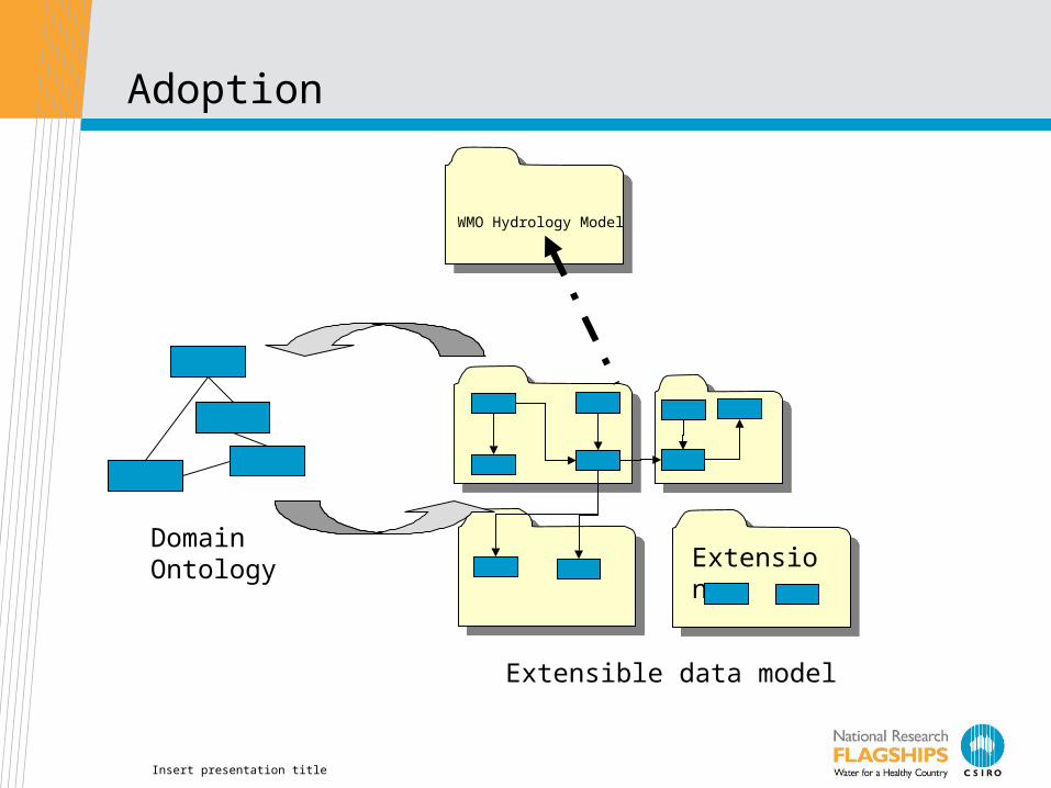
Adoption
ExtensionExtension
WMO Hydrology Model
Extensible data model
DomainOntology

Insert presentation title
Development Activities
Identify Source
Data
Supply Contract (SLA & DPS)
Common Architecture
AHGF Conceptual
ModelService Design
Define Delivery Products
(DPS)
AHGF DB Service Implementation
Prototype Client Tools
Populate Deploy Evaluate
Identity Management
Technical Integration
Test cases

Thank you
Dr David LemonResearch Stream Leader – Water Informatics
Phone: +61 2 6246 5724Email: [email protected] Web: www.csiro.au/clw
Contact UsPhone: 1300 363 400 or +61 3 9545 2176Email: [email protected] Web: www.csiro.au
CSIRO Land and WaterRob AtkinsonAHGF Activity Leader
Phone: +61 419202973Email: [email protected] Web: www.csiro.au/clw
https://wiki.csiro.au/confluence/display/WaterInformatics/AHGF+Implementation