Tallarook State Forest Recreation and · 2017-03-27 · Tallarook State Forest Recreation and...
3
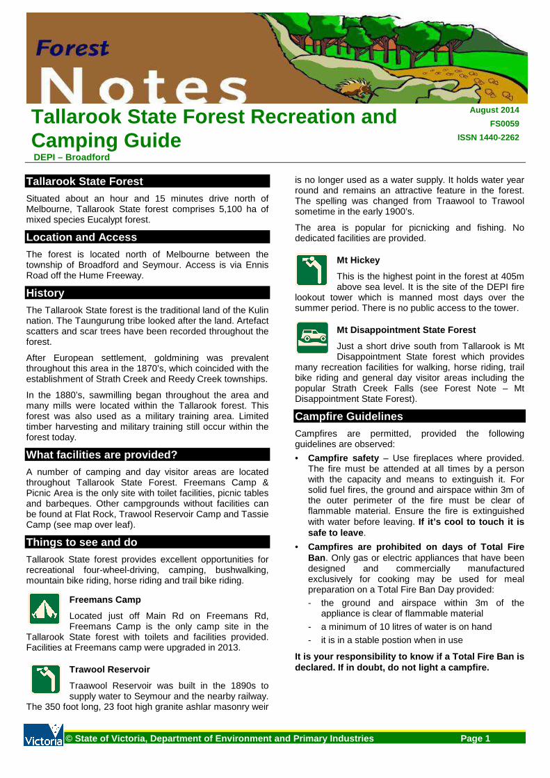
Tallarook State Forest Recreation and Camping Guide DEPI – Broadford August 2014 FS0059 ISSN 1440-2262 © State of Victoria, Department of Environment and Primary Industries Page 1 Tallarook State Forest Situated about an hour and 15 minutes drive north of Melbourne, Tallarook State forest comprises 5,100 ha of mixed species Eucalypt forest. Location and Access The forest is located north of Melbourne between the township of Broadford and Seymour. Access is via Ennis Road off the Hume Freeway. History The Tallarook State forest is the traditional land of the Kulin nation. The Taungurung tribe looked after the land. Artefact scatters and scar trees have been recorded throughout the forest. After European settlement, goldmining was prevalent throughout this area in the 1870’s, which coincided with the establishment of Strath Creek and Reedy Creek townships. In the 1880’s, sawmilling began throughout the area and many mills were located within the Tallarook forest. This forest was also used as a military training area. Limited timber harvesting and military training still occur within the forest today. What facilities are provided? A number of camping and day visitor areas are located throughout Tallarook State Forest. Freemans Camp & Picnic Area is the only site with toilet facilities, picnic tables and barbeques. Other campgrounds without facilities can be found at Flat Rock, Trawool Reservoir Camp and Tassie Camp (see map over leaf). Things to see and do Tallarook State forest provides excellent opportunities for recreational four-wheel-driving, camping, bushwalking, mountain bike riding, horse riding and trail bike riding. Freemans Camp Located just off Main Rd on Freemans Rd, Freemans Camp is the only camp site in the Tallarook State forest with toilets and facilities provided. Facilities at Freemans camp were upgraded in 2013. Trawool Reservoir Traawool Reservoir was built in the 1890s to supply water to Seymour and the nearby railway. The 350 foot long, 23 foot high granite ashlar masonry weir is no longer used as a water supply. It holds water year round and remains an attractive feature in the forest. The spelling was changed from Traawool to Trawool sometime in the early 1900’s. The area is popular for picnicking and fishing. No dedicated facilities are provided. Mt Hickey This is the highest point in the forest at 405m above sea level. It is the site of the DEPI fire lookout tower which is manned most days over the summer period. There is no public access to the tower. Mt Disappointment State Forest Just a short drive south from Tallarook is Mt Disappointment State forest which provides many recreation facilities for walking, horse riding, trail bike riding and general day visitor areas including the popular Strath Creek Falls (see Forest Note – Mt Disappointment State Forest). Campfire Guidelines Campfires are permitted, provided the following guidelines are observed: • Campfire safety – Use fireplaces where provided. The fire must be attended at all times by a person with the capacity and means to extinguish it. For solid fuel fires, the ground and airspace within 3m of the outer perimeter of the fire must be clear of flammable material. Ensure the fire is extinguished with water before leaving. If it’s cool to touch it is safe to leave. • Campfires are prohibited on days of Total Fire Ban. Only gas or electric appliances that have been designed and commercially manufactured exclusively for cooking may be used for meal preparation on a Total Fire Ban Day provided: - the ground and airspace within 3m of the appliance is clear of flammable material - a minimum of 10 litres of water is on hand - it is in a stable postion when in use It is your responsibility to know if a Total Fire Ban is declared. If in doubt, do not light a campfire.
Transcript of Tallarook State Forest Recreation and · 2017-03-27 · Tallarook State Forest Recreation and...
Tallarook State Forest Recreation and Camping Guide DEPI – Broadford
August 2014
FS0059
ISSN 1440-2262
© State of Victoria, Department of Environment and Primary Industries Page 1
Tallarook State Forest
Situated about an hour and 15 minutes drive north of Melbourne, Tallarook State forest comprises 5,100 ha of mixed species Eucalypt forest.
Location and Access
The forest is located north of Melbourne between the township of Broadford and Seymour. Access is via Ennis Road off the Hume Freeway.
History
The Tallarook State forest is the traditional land of the Kulin nation. The Taungurung tribe looked after the land. Artefact scatters and scar trees have been recorded throughout the forest.
After European settlement, goldmining was prevalent throughout this area in the 1870’s, which coincided with the establishment of Strath Creek and Reedy Creek townships.
In the 1880’s, sawmilling began throughout the area and many mills were located within the Tallarook forest. This forest was also used as a military training area. Limited timber harvesting and military training still occur within the forest today.
What facilities are provided?
A number of camping and day visitor areas are located throughout Tallarook State Forest. Freemans Camp & Picnic Area is the only site with toilet facilities, picnic tables and barbeques. Other campgrounds without facilities can be found at Flat Rock, Trawool Reservoir Camp and Tassie Camp (see map over leaf).
Things to see and do
Tallarook State forest provides excellent opportunities for recreational four-wheel-driving, camping, bushwalking, mountain bike riding, horse riding and trail bike riding.
Freemans Camp
Located just off Main Rd on Freemans Rd, Freemans Camp is the only camp site in the
Tallarook State forest with toilets and facilities provided. Facilities at Freemans camp were upgraded in 2013.
Trawool Reservoir
Traawool Reservoir was built in the 1890s to supply water to Seymour and the nearby railway.
The 350 foot long, 23 foot high granite ashlar masonry weir
is no longer used as a water supply. It holds water year round and remains an attractive feature in the forest. The spelling was changed from Traawool to Trawool sometime in the early 1900’s.
The area is popular for picnicking and fishing. No dedicated facilities are provided.
Mt Hickey
This is the highest point in the forest at 405m above sea level. It is the site of the DEPI fire
lookout tower which is manned most days over the summer period. There is no public access to the tower.
Mt Disappointment State Forest
Just a short drive south from Tallarook is Mt Disappointment State forest which provides
many recreation facilities for walking, horse riding, trail bike riding and general day visitor areas including the popular Strath Creek Falls (see Forest Note – Mt Disappointment State Forest).
Campfire Guidelines
Campfires are permitted, provided the following guidelines are observed:
• Campfire safety – Use fireplaces where provided. The fire must be attended at all times by a person with the capacity and means to extinguish it. For solid fuel fires, the ground and airspace within 3m of the outer perimeter of the fire must be clear of flammable material. Ensure the fire is extinguished with water before leaving. If it’s cool to touch it is safe to leave .
• Campfires are prohibited on days of Total Fire Ban . Only gas or electric appliances that have been designed and commercially manufactured exclusively for cooking may be used for meal preparation on a Total Fire Ban Day provided:
- the ground and airspace within 3m of the appliance is clear of flammable material
- a minimum of 10 litres of water is on hand
- it is in a stable postion when in use
It is your responsibility to know if a Total Fire B an is declared. If in doubt, do not light a campfire.

Tallarook State Forest Recreation and Camping Guide FS0059
© State of Victoria, Department of Environment and Primary Industries Page 2
Forest Use Guidelines
Forest Rangers patrol the area regularly to assist visitors and to enforce regulations.
RUBBISH
There are no rubbish collection facilities available. Please take your rubbish with you and ensure the area is clean for future visitors.
Do not bury or burn rubbish in fires. This includes bottles and cans. It is an offence to burn rubbish and those doing so will be fined.
TRAIL BIKES and VEHICLES
Trail bikes and vehicles must be registered. Unlicensed persons are not permitted to ride trail bikes or drive vehicles. Trail bikes and vehicles must not be ridden off formed roads, on walking tracks or around the campground. The surrounding road network is available to licenced and registered riders.
FIREARMS
Normal firearm laws apply in State Forests.
• A licence is required • It is prohibited to shoot on, from or across roads • Use of firearms in camping areas is prohibited.
All native birds and animals are protected by law. Tallarook State forest is a popular recreation area and is used by a wide number of individuals from a variety of user groups. Shooters should be particularly vigilant and aware of the likelihood of other users being present within the forest.
CAMPING – Minimal impact
To protect the delicate environments of the forest, we need to ‘tread lightly’ in the bush to minimise our impact on the natural environment.
• Camping is not permitted outside of designated areas or within 20 metres of any river, stream or lake.
• Be careful of camping under trees. Trees can drop their limbs at any time (particularly during high winds).
• Do not dig trenches around tents. With modern tents, this is unnecessary, particularly if you choose a well-drained or raised site.
• Use toilets where provided. At some sites hand washing facilities and toilet paper may not be supplied. Come prepared.
• All native plants and animals are protected.
• Dogs are allowed in State Forest but must be under direct control at all times and are expected to be on a leash in picnic and camping areas or when near other visitors.
• Protect water quality – wash up at least 50 metres away from the river and avoid using soap (use gritty sand and a scourer instead).
• Leave campsites tidy.
Safety – Please read
• On Code Red Fire Danger Rating days, parks and State Forest are closed to the public. Do not enter parks or forests on Code Red Days. If you are already there when a Code Red day is announced, you should leave the night before or early in the morning. For more information contact DEPI (see below).
• Be responsible for your own safety. Be aware of extreme weather events, carry your own first aid kit and let someone know before you go.
• When on forest roads, be prepared for the unexpected. Timber trucks, 4WD’s, hikers, horse riders, trail bike riders, cyclists and native animals may also be using your chosen track.
• Follow campfire and forest use guidelines.
Seasonal Road Closures
Some roads within the forest are seasonally closed each year from the Thursday after the Queen’s Birthday holiday through to the Thursday before Melbourne Cup. This is to protect track surfaces and the environment, and for public safety. Road closures may be extended beyond these dates, depending on weather conditions. These closures are enforced by a gate or sign. Contact DEPI for more information on road closures.
For more information
The Department of Environment and Primary Industries (DEPI) is responsible for managing Victoria's State Forest. For further information contact DEPI's Customer Service Centre � 136 186 (TTY: 1800 555 667) or visit DEPI’s website at http://www.depi.vic.gov.au
This publication may be of assistance to you but th e State of Victoria and its officers do not guarantee that the publication is without flaw of any kind or is wholly appropriate f or your particular purposes and therefore disclaims all lia bility for any error, loss or other consequence which may arise fr om you relying on any information in this publication .

Ennis Rd
Goulburn Valley Hwy
King Parrot Creek Rd
Fairview Rd
Main R
d
East Falls Rd
A rmy R
d
Hor an
sTrk
Tehans RdFalls Creek Rd
Main Rd
WestFa llsRd
Dabyminga Creek B.R.
TallarookState Forest
Pulpit Rock S.R.
Horseshoe Lagoon F.F.R.
TRAWOOLRESERVOIR
Falls
Tassie Camp M
TrawoolReservoir Camp M
Freemans CampPicnic Area
Mo2F
FlatRockM
Bridge Rd
Landsc
apeRd
Sharps And Taylors Rd
Fred Trk
Johnso
n sR dMain Rd
West Falls Rd
BoxFor
estRd
Englishs Rd
Rid ds Trk
LemarneRd
Dockerys Rd
Triangle Rd
Gilmour Trk
Upper Goulburn Rd
Horans Trk
Bruces Lane
Yamby
Rd
Ellio tts Rd
Davis Rd
Breens
Rd
Flynn Link Rd
Contour Trk
Main R
d
Guym e rs Rd
Strath Creek Rd
Jenkin TrkBra
nd yCo
rnerTr
k
Clearview Ct
Tehans Rd
Sutherland Rd
Mt Hickey Rd
WillowTrk
NuggetDr
Pulmans Trk
Red Hill Trk
Kippin
gsLan
e
King P
arrot Cr
eekRd
Falls Creek Rd
Boonga
rryRd
No1 Loop Rd
Gravel
PitTrk
Greenslopes Rd
Dicks
TrkFre
eman
Rd
Cunni
ngham
s Rd
Flynns Rd
Wheelers Trk Steep Trk
Tallarook - Pyalong Rd
See d
Trk
Cab l e Trk
Tehans No2 Trk
Freemans Link Rd
Goul din gC t
Stony Creek Trk
No2 Link Rd
Jenkin Link Trk
Jenkins Rd
Brac ke
n Trk
Kings t
onRd
Reed y
Creek R
dFalls Link Rd
Gairns
Lane
Homewood Rd
Mountain Trk
Hume
Fwy
GeorgesR d
No2LoopRd
TRAWOOL
TYAAK
KERRISDALE
Meadows Hill
Pulpit Rock
Mount Hickey(Mount Tallarook)
Sheoak Hill
Breech Peak
Tyaak Hill
Mount Marianne
Talla
rook
Stat
e For
est -
recr
eatio
n and
camp
ing gu
ideFS
0059 To Seymour
State ForestOther Public Land
Parks and Reserves
Major sealed roadMinor sealed roadUnsealed roadMinor unsealed roadVehicular track
To Yea
To Broadford
M Camping areao2F
Picnic tableToiletBarbeque
To Kinglake This
publi
catio
n may
be of
assis
tance
to yo
u but
the S
tate o
f Vict
oria a
nd its
emplo
yees
do no
t gua
rantee
that
the pu
blica
tion i
s with
out fl
aw of
any k
ind
or is
wholl
y app
ropria
te for
your
partic
ular p
urpos
es an
d the
refore
disc
laims
all li
abilit
y for
any e
rror, l
oss o
r othe
r con
sequ
ence
whic
h may
arise
from
you r
elying
on
any i
nform
ation
in th
is pu
blica
tion.
MELBOURNE
GEELONGSANDYPOINT
WALLAN
BROADFORD
FLOWERDALE
WHITTLESEAGISBORNEHEALESVILLE
EUROA
SEYMOUR
BACCHUSMARSH
DROUIN
YEA
© St
ate of
Victo
ria, D
epar
tmen
t of E
nviro
nmen
t and
Prim
ary I
ndus
tries
.
Produced by GIS Unit, Traralgon.
March 2014
0 1 20.5Kilometers
Plantation
SeasonallyClosed RoadS.C.