
SPOT - Airbus Intelligence
2
Amsterdam, The Netherlands © Airbus DS 2015 DEFENCE AND SPACE Intelligence SPOT
Transcript of SPOT - Airbus Intelligence
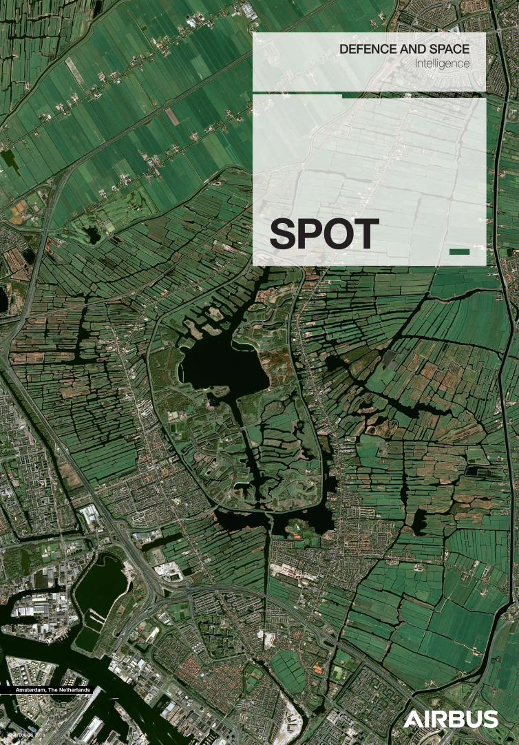
Amsterdam, The Netherlands
© Airbus DS 2015
DEFENCE AND SPACEIntelligence
SPOT
Minimum of 10 years with an estimated lifetime of more than 14 years.
SPOTThe Ideal Solution for Country-Wide, Demanding ApplicationsThe SPOT constellation is specifically designed to efficiently cover huge areas in record time.National basemap series are now de-facto updated to support large-scale cartographic and land monitoring applications.
SPOT 6/7 Features & Benefits
Global & frequent: daily capacity of 6 million km².
Wide & homogeneous: 1.5 m products.
Optimized & efficient: daily revisit capacity anywhere.
Stereo/Tristereo new acquisitions and archive.
Key Features
Key Benefits
Complete coverage of any area of interest in record time. The entire landmass is updated yearly, including nation-wide intra-year monitoring.
Excellent for topographic cartography from 1/250,000 to 1/25,000.
Superior coverage speed even in persistent cloudy areas.
Country-wide and adequate 3D models, with ready-to-go Stereo/ Tristereo archive over the driest deserts and the steepest mountains.
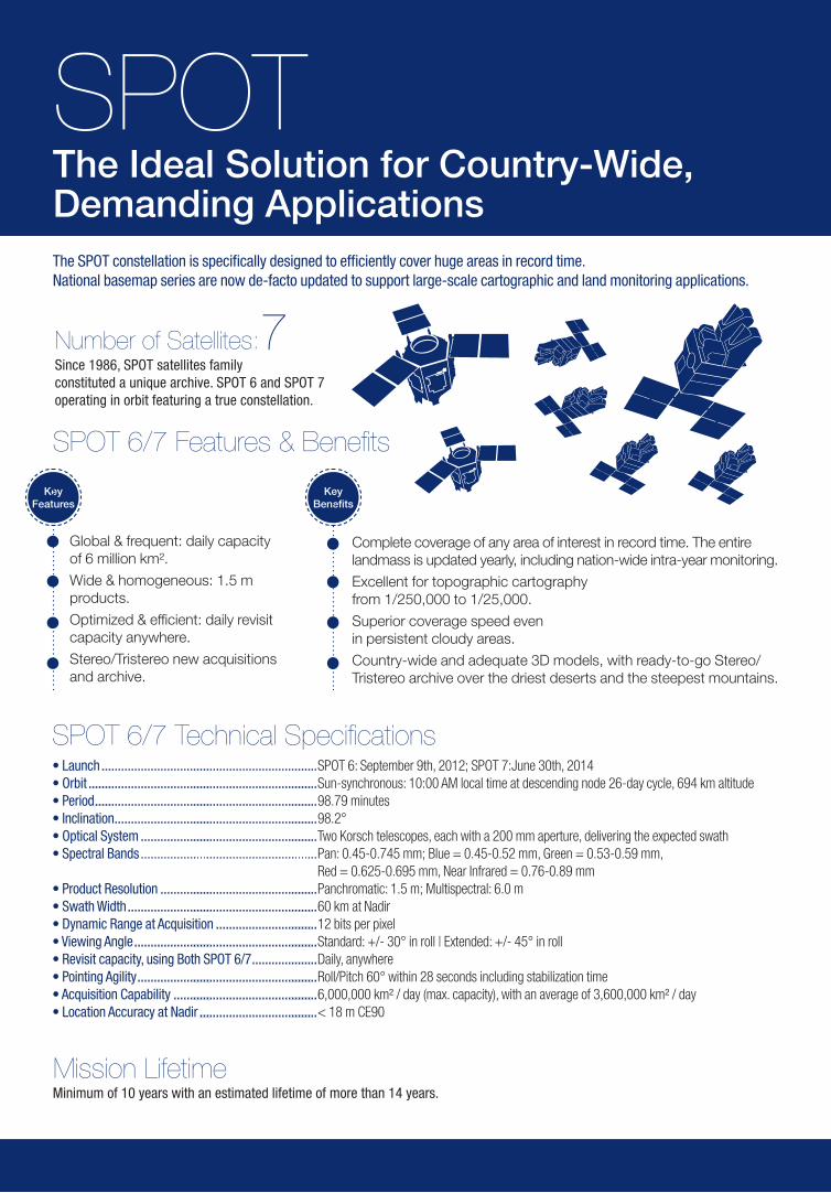
Number of Satellites: Since 1986, SPOT satellites family constituted a unique archive. SPOT 6 and SPOT 7 operating in orbit featuring a true constellation.
7
SPOT 6/7 Technical Specifications• Launch ..................................................................SPOT 6: September 9th, 2012; SPOT 7:June 30th, 2014• Orbit ......................................................................Sun-synchronous: 10:00 AM local time at descending node 26-day cycle, 694 km altitude• Period ....................................................................98.79 minutes• Inclination ..............................................................98.2°• Optical System ......................................................Two Korsch telescopes, each with a 200 mm aperture, delivering the expected swath• Spectral Bands ...................................................... Pan: 0.45-0.745 mm; Blue = 0.45-0.52 mm, Green = 0.53-0.59 mm,
Red = 0.625-0.695 mm, Near Infrared = 0.76-0.89 mm• Product Resolution ................................................Panchromatic: 1.5 m; Multispectral: 6.0 m• Swath Width ..........................................................60 km at Nadir• Dynamic Range at Acquisition ...............................12 bits per pixel• Viewing Angle ........................................................Standard: +/- 30° in roll | Extended: +/- 45° in roll• Revisit capacity, using Both SPOT 6/7 ....................Daily, anywhere• Pointing Agility .......................................................Roll/Pitch 60° within 28 seconds including stabilization time• Acquisition Capability ............................................6,000,000 km² / day (max. capacity), with an average of 3,600,000 km² / day• Location Accuracy at Nadir ....................................< 18 m CE90
Mission Lifetime


![Research maintenance @ Airbus AI Artificial Intelligence forPS1]_1-2... · Airbus invests a lot on Artificial Intelligence (research, digital transformation, digital academy, in](https://static.fdocuments.in/doc/165x107/5e7711daa8274f66bb386d99/research-maintenance-airbus-ai-artiicial-intelligence-for-ps11-2-airbus.jpg)


