Open Government, Open Data, Open Architecture and Open ...2010.foss4g.org/presentations/3560.pdf ·...
33
Open Government, Open Data, Open Architecture and Open Source Software GIS Policy for U.S. Army Installation Management: 2010 Thursday, 9 September 2010 Jaymes Cloninger
Transcript of Open Government, Open Data, Open Architecture and Open ...2010.foss4g.org/presentations/3560.pdf ·...
Open Government, Open Data, Open Architecture and Open
Source Software
GIS Policy for U.S. Army Installation Management: 2010Thursday, 9 September 2010
Jaymes Cloninger

Outline
• Government GIS Policy
• Federal Government policies and portals • Department of Defense policies and portals• Department of the Army policies and portals• Army Installation Geospatial Information &
Services (IGI&S) policies and portals• Conclusion

Memorandum on Transparency and Open
GovernmentGovernment should be transparent.
• “Transparency promotes accountability and provides information for citizens about what their Government is doing.”
• “Information maintained by the Federal Government is a national asset.”
Government should be participatory. Government should be collaborative. “Information maintained by the Federal Government is a national asset.”President Obama January 21, 2009
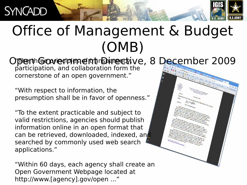
Office of Management & Budget (OMB)
Open Government Directive, 8 December 2009“The three principles of transparency, participation, and collaboration form the cornerstone of an open government.”
“With respect to information, the presumption shall be in favor of openness.”
“To the extent practicable and subject to valid restrictions, agencies should publish information online in an open format that can be retrieved, downloaded, indexed, and searched by commonly used web search applications.”
“Within 60 days, each agency shall create an Open Government Webpage located at http://www.[agency].gov/open ...”

open.gov
In January 2009, President’s Obama’s first executive action was to sign the Memorandum on Transparency and Open Government.

open.gov Executive Dashboards
Courtesy of FGDC, Ivan B. DeLoatch, Executive Director
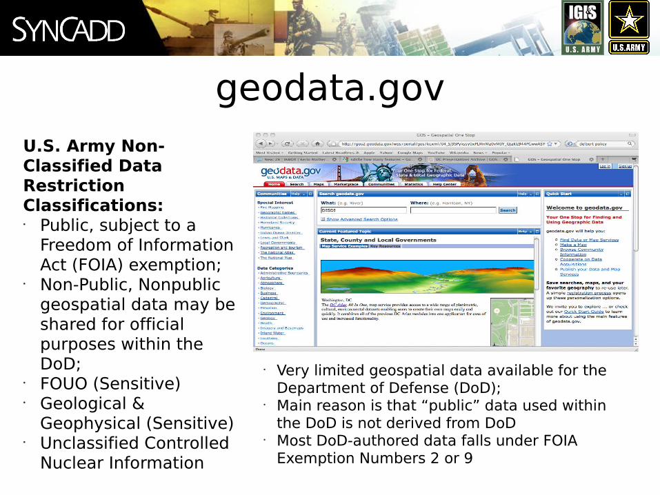
geodata.govU.S. Army Non-Classified Data Restriction Classifications:• Public, subject to a
Freedom of Information Act (FOIA) exemption;
• Non-Public, Nonpublic geospatial data may be shared for official purposes within the DoD;
• FOUO (Sensitive)• Geological &
Geophysical (Sensitive)• Unclassified Controlled
Nuclear Information
• Very limited geospatial data available for the Department of Defense (DoD);
• Main reason is that “public” data used within the DoD is not derived from DoD
• Most DoD-authored data falls under FOIA Exemption Numbers 2 or 9

data.govWhat’s Happening Now?• More collaboration
and participation with the public
• Social interaction and discussion
• Implementation of new technologies (e.g. outbound web services, service catalog and RSS feeds)
• Centralized metadata authoring / management
• More Data visualizations
• Mash-ups and applications from the data on Data.gov
• Linked Open Data
Courtesy Jerry Johnston PhD, US EPA GIO
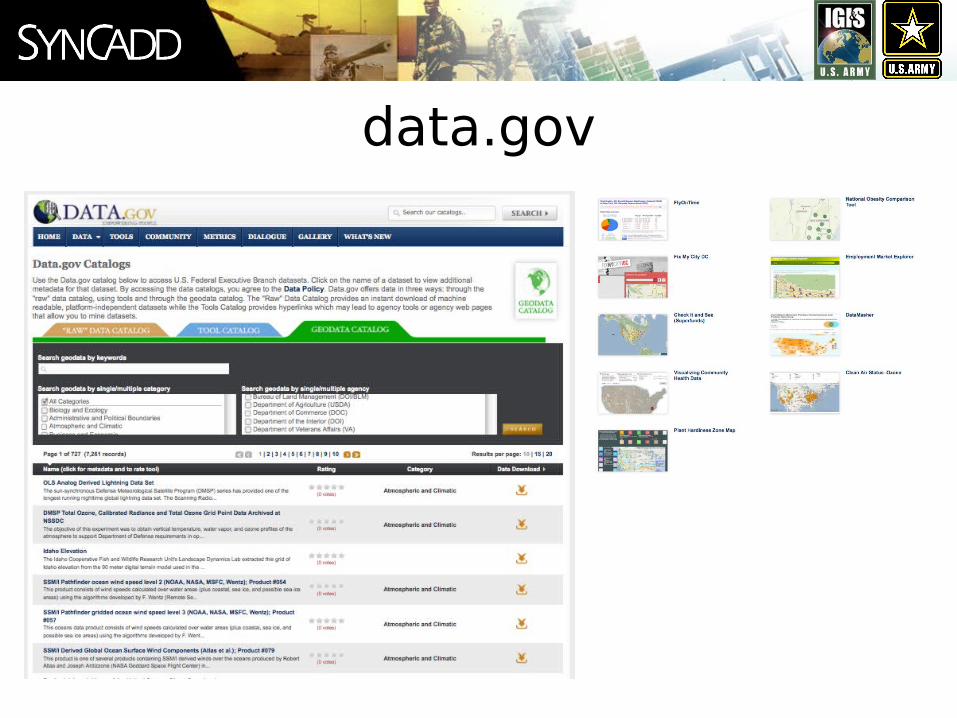
data.gov

recovery.gov• Select a State to zoom
to the region• View locations of
Contracts, Grants, Loans• Filter by type,
agency,amount• Select a site to view
award summary information

Department of DefenseClarifying Guidance Regarding Open Source
Software (OSS), 16 October 2009“In almost all cases, OSS meets the definition of ‘commercial computer software’ and shall be given appropriate statutory preference”
“Since OSS typically does not have a per-seat licensing cost, it can provide a cost advantage in situations where many copies of the software may be required, and can mitigate risk of cost growth due to licensing in situations where the total number of users may not be known in advance.”
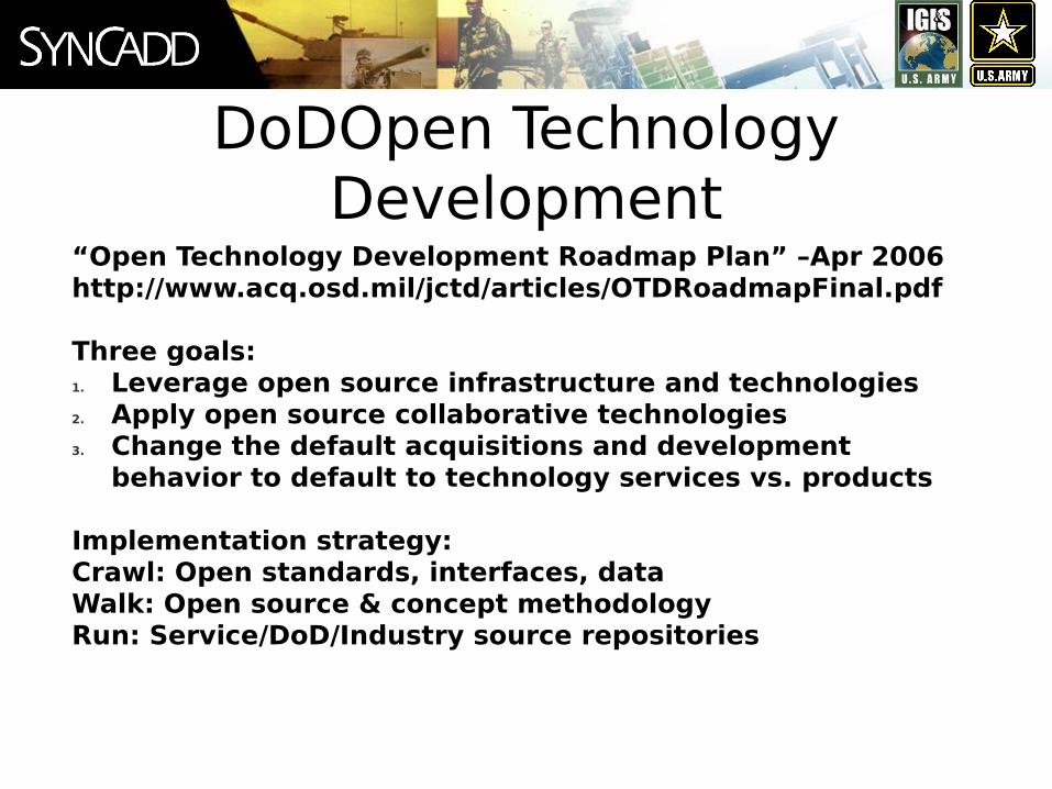
“Open Technology Development Roadmap Plan” –Apr 2006http://www.acq.osd.mil/jctd/articles/OTDRoadmapFinal.pdf
Three goals:1. Leverage open source infrastructure and technologies2. Apply open source collaborative technologies3. Change the default acquisitions and development
behavior to default to technology services vs. products
Implementation strategy:Crawl: Open standards, interfaces, dataWalk: Open source & concept methodologyRun: Service/DoD/Industry source repositories
DoDOpen Technology Development

“DoN commands will treat OSS as COTS when it meets the definition of a commercial item… This will allow the DoN to utilize ass throughout the enterprise when acquiring capabilities to meet DoN business and warfighter requirements. “
Department of the Navy (DoN)
Open Source Software Guidance

DoD Open Government * Office of the Secretary of Defense/Joint Staff Freedom of Information Act (FOIA) Logs * Federal Voting Assistance Program * Service Member Demographic Data
No geospatial data available yet.
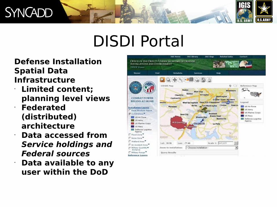
DISDI PortalDefense Installation Spatial Data Infrastructure• Limited content;
planning level views• Federated
(distributed) architecture
• Data accessed from Service holdings and Federal sources
• Data available to any user within the DoD

Forge.mil• Forge.mil enables
collaborative development and use of FOSS and DoD community source software behind the DoD firewall.
• Multinational Information Sharing
• Private Project Collaboration
• Goal is to enable rapid development and deployment ofDoDproducts and services on the Global Information Grid (GIG).

U.S. Army IGI&S Program

“Use of ‘open source’ software (for example, Red Hat Linux) is permitted when the source code is available for examination of malicious content, applicable configuration implementation guidance is available and implemented, a protection profile is in existence, or a risk and vulnerability assessment has been conducted with mitigation strategies implemented with DAA and CCB approval and documentation in the C&A package. Notify RCIOs and the supporting RCERT/TNOSC of local software use approval.”
Information AssuranceArmy Regulation 25-2, 23 March 2009
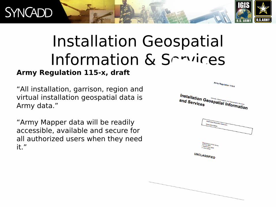
Installation Geospatial Information & Services
Army Regulation 115-x, draft
“All installation, garrison, region and virtual installation geospatial data is Army data.”
“Army Mapper data will be readily accessible, available and secure for all authorized users when they need it.”

Army Mapper System Requirements Specification
(draft)“The Army’s goal is to preserve geospatial data in persistent formats that will enable access to authentic geospatial data indefinitely into the future. An ideal persistent format would be self-describing and validating in accordance with open, nonproprietary standards.”
“The system must accommodate geospatial data regardless of data type or format.”

IGI&S Program DriversEO 12906 – Coordinating Geographic Data Acquisition and Access: The National Spatial Data InfrastructurePurpose: Through coordination with the National Spatial Data Infrastructure (NSDI), all spatial (GIS and CADD) data will be shared to avoid wasteful duplication and that the data is effectivelyand economically managed. All federal agencies are required to participate in the NSDI as perthis Executive Order.
OMB A-16 – Coordination of Geographic Information and Related Spatial Data ActivitiesPurpose: Provides guidance for federal agencies that create, maintain or use spatial data directly or indirectly through the establishment of NSDI and the Federal Geographic DataCommittee (FGDC). The Revised version discusses the need for all federal agencies to coordinateand sharegeospatial data.
DoD Directive 8320.2 – Data Sharing in a Net-Centric Department of DefensePurpose: Discusses the need for coordinating, sharing, and integrating dataacross DoD.
Defense Installation Spatial Data Infrastructure (DISDI) Memo – Installation Geospatial Information and Services GuidancePurpose: Describes how strategies and standards for IGI&S will be coordinated across DOD and that IGI&S shall conform to SDSFIE standards and have appropriate metadata.Bottom Line: These Drivers Direct Data Sharing and
Data Standardization

Army Mapper
Available at:https://mapper.army.mil
o Enterprise solution for geospatial data management, viewing, mapping, and analysis
o Platform for migration of existing Armysystems and tools
o Web mapping services for data sharing across
the Army and DoD

Army Mapper Components
• Supports broad user base - no GIS training required
• Access to common data for all integrated installations
• Interactive navigation and data display• Buildings query within an installation• Platform to host business tools• Currently MapServer and ArcGIS Server
versions
• Provides ESRI ArcGIS, Bentley Microstation, ERDAS via the web; no desktop software installation and maintenance required
• No current FOSS4G Desktop tools available
• Users can save/retrieve map documents and design files, perform standard functions, add-in toolboxes, and use licensed extensions
Army Mapper Web Map Viewer Army Mapper Desktop Tools
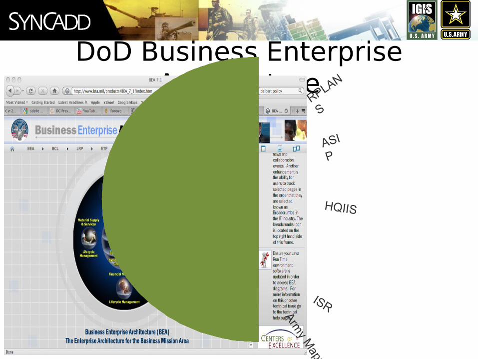
DoD Business Enterprise Architecture
ASI
P
RPLAN
S
HQIIS
ISR
Army M
apper
DoD Business Enterprise ArchitectureBusiness Operating
Environment (BOE) Guiding Principles:“Support Use of Open Source Software: The BOE will use open source software solutions on an equal footing with regular commercial offerings, with due consideration given to support and proven reliability. This will allow DoD to realize benefits in cost and source availability that can come from open source software.”
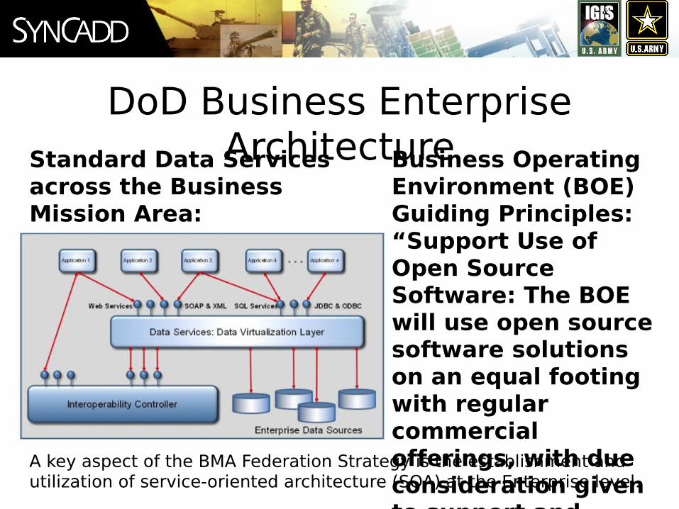
Standard Data Services across the Business Mission Area:
A key aspect of the BMA Federation Strategy is the establishment and utilization of service-oriented architecture (SOA) at the Enterprise level.
Spatial Data Standard for Facilities, Infrastructure and the Environment
(SDSFIE)
http://www.sdsfie.org/
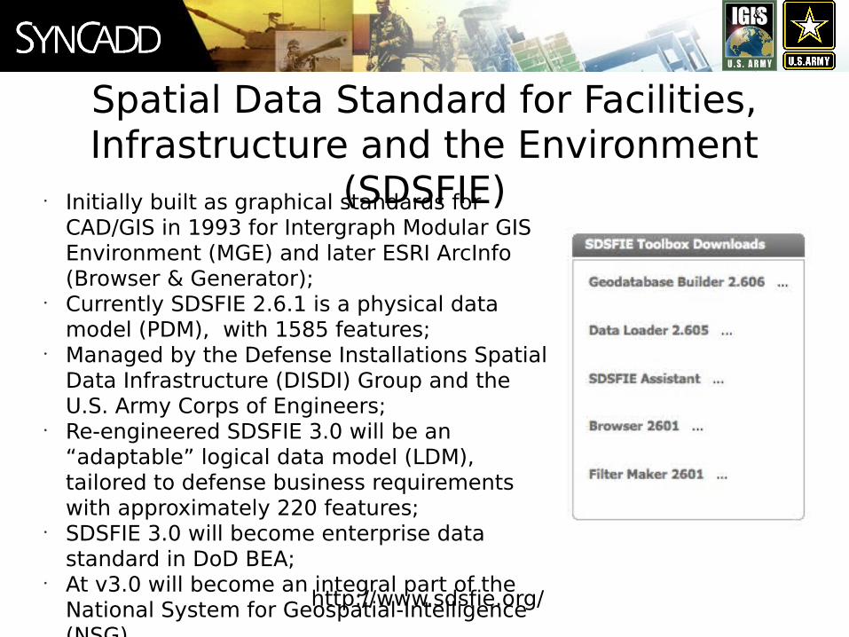
• Initially built as graphical standards for CAD/GIS in 1993 for Intergraph Modular GIS Environment (MGE) and later ESRI ArcInfo (Browser & Generator);
• Currently SDSFIE 2.6.1 is a physical data model (PDM), with 1585 features;
• Managed by the Defense Installations Spatial Data Infrastructure (DISDI) Group and the U.S. Army Corps of Engineers;
• Re-engineered SDSFIE 3.0 will be an “adaptable” logical data model (LDM), tailored to defense business requirements with approximately 220 features;
• SDSFIE 3.0 will become enterprise data standard in DoD BEA;
• At v3.0 will become an integral part of the National System for Geospatial-Intelligence (NSG).

SDSFIE 3.0
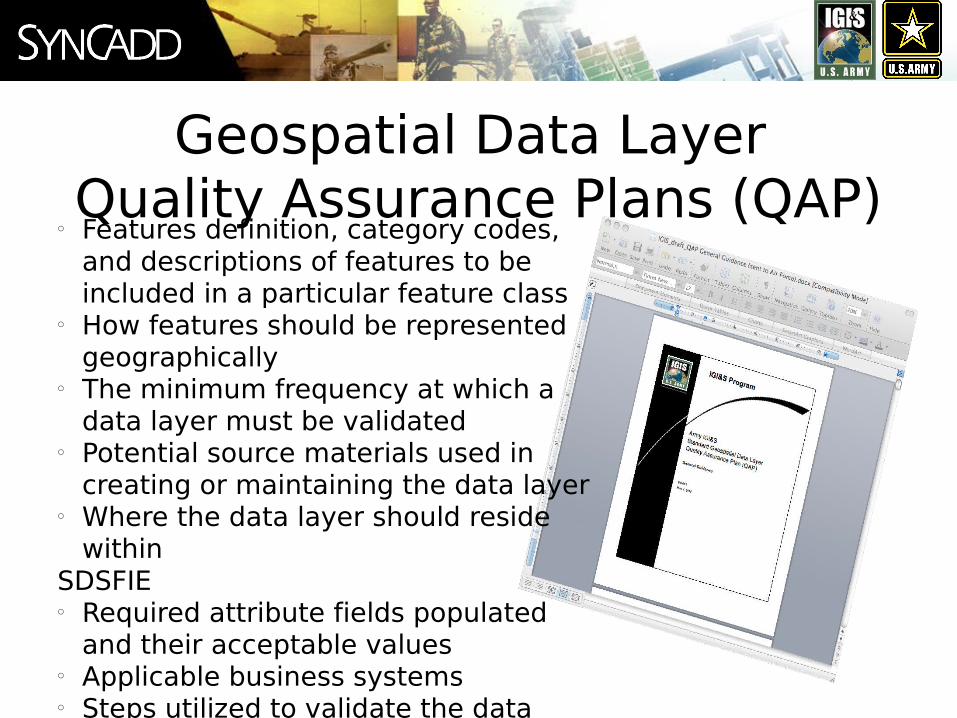
Geospatial Data Layer Quality Assurance Plans (QAP)
o Features definition, category codes, and descriptions of features to be included in a particular feature class
o How features should be represented geographically
o The minimum frequency at which a data layer must be validated
o Potential source materials used in creating or maintaining the data layer
o Where the data layer should reside within
SDSFIEo Required attribute fields populated
and their acceptable valueso Applicable business systemso Steps utilized to validate the data
layer
Why are GDL QAPs Needed?o Reduce Attribute Variance (i.e. Installation ID = 27682 vs. Camp Swampy)
• Specifies required attributes• Provides acceptable values• Provides an attribute example
o Identify Acceptable Sources of Data (Survey vs. Hard Copy Digitization)• Identifies a ranking of preferred sources
o Minimize Redundant Data Collection • Specifies office in charge of data collection
• Identifies Headquarters Business Systems (Authoritative Data Sources) that already contain the data elements
o Increase Data Sharing for Informed Decision Making•Data will be able to be aggregated into a single database without costly
standardization

Successes
The only Military Service in U.S. DoD with a vendor neutral platform – More data editors than all of the other military services using at least 4 different Desktop GIS platforms
Implemented MapServer and OpenLayers with the support of US Army Corps of Engineers, Mike Smith et al
“Open Source technology may be changing the relationship between democracy and expertise, affording an opportunity to improve competence by making good information available for better governance.” (Census 2010, whitehouse.gov)
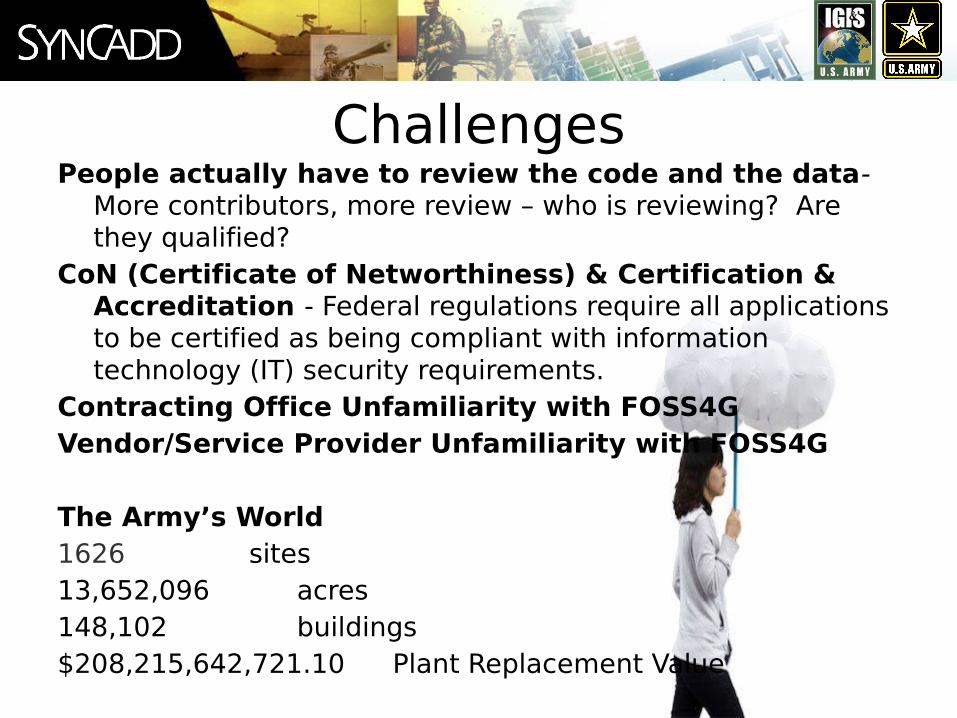
ChallengesPeople actually have to review the code and the data-
More contributors, more review – who is reviewing? Are they qualified?
CoN (Certificate of Networthiness) & Certification & Accreditation - Federal regulations require all applications to be certified as being compliant with information technology (IT) security requirements.
Contracting Office Unfamiliarity with FOSS4GVendor/Service Provider Unfamiliarity with FOSS4G
The Army’s World1626 sites13,652,096 acres148,102 buildings$208,215,642,721.10 Plant Replacement Value

OpportunitiesThe economic reality requires rethinking how software,
systems, architecture and data are acquired and maintained– DoD budget for R&D virtually frozen for the next few years. Spend less and get more.
Industry-wide acceptance of open source solutions- Government is typically several years behind commercial interests, however when the Government jumps in, it makes a big splash
All of DoD moving toward a more data-intense environment
DoD BEA hints at a purple horizon
"Instilling habits of restraint, of subtracting as well as adding, of elevating affordability on a par with desirability, is a project of years in the making.” - Defense Secretary Robert Gates, August 10, 2010

ConclusionDoD and Federal Government have adequate standards in
place – current standards pave the way for more opennessOpen Data is a challenge in the DoD – the first step is data
sharing between data stewards and data consumers Desktop GIS Users in DoD are a large community with deep
rootsOpen Architecture (within the Army) is one possibility for
better coordination between Army Mapper and installation personnel
The best way to maintain high quality installation management data is by sharing it with as many business users as possible.
Government procedures and policies are not enough – it takes people.