Maps available online
21
94,000+ Royalty-Free Maps Digital media by:
-
Upload
mark-e-forney -
Category
Travel
-
view
277 -
download
0
Transcript of Maps available online
94,000+ Royalty-Free Maps
Digital media by:
AtoZ Map Library remains without peer as the most comprehensive map resource database available on the market today.
Edward G. Hinkelman
CEO/Publisher
World Trade Press
AtoZAtoZ Map LibraryMap Library
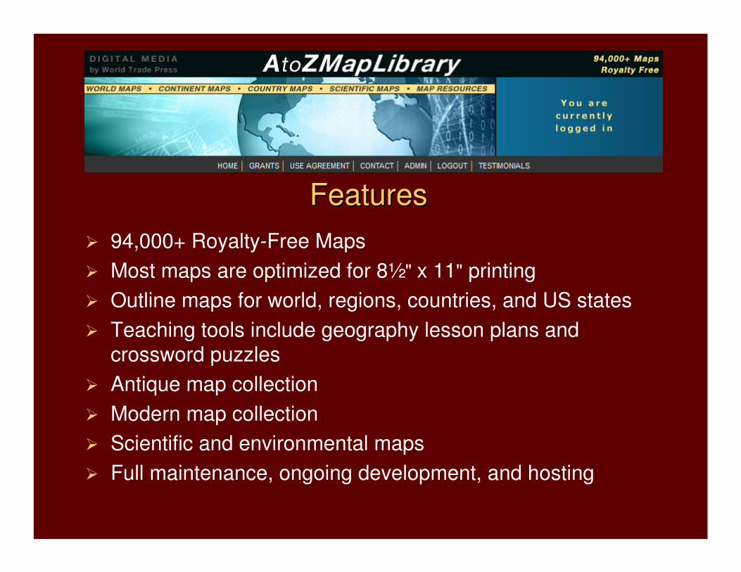
� 94,000+ Royalty-Free Maps
� Most maps are optimized for 8½" x 11" printing
� Outline maps for world, regions, countries, and US states
� Teaching tools include geography lesson plans and crossword puzzles
� Antique map collection
� Modern map collection
� Scientific and environmental maps
� Full maintenance, ongoing development, and hosting
FeaturesFeatures
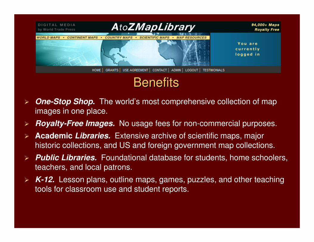
BenefitsBenefits
� One-Stop Shop. The world’s most comprehensive collection of map images in one place.
� Royalty-Free Images. No usage fees for non-commercial purposes.
� Academic Libraries. Extensive archive of scientific maps, major historic collections, and US and foreign government map collections.
� Public Libraries. Foundational database for students, home schoolers, teachers, and local patrons.
� K-12. Lesson plans, outline maps, games, puzzles, and other teaching tools for classroom use and student reports.
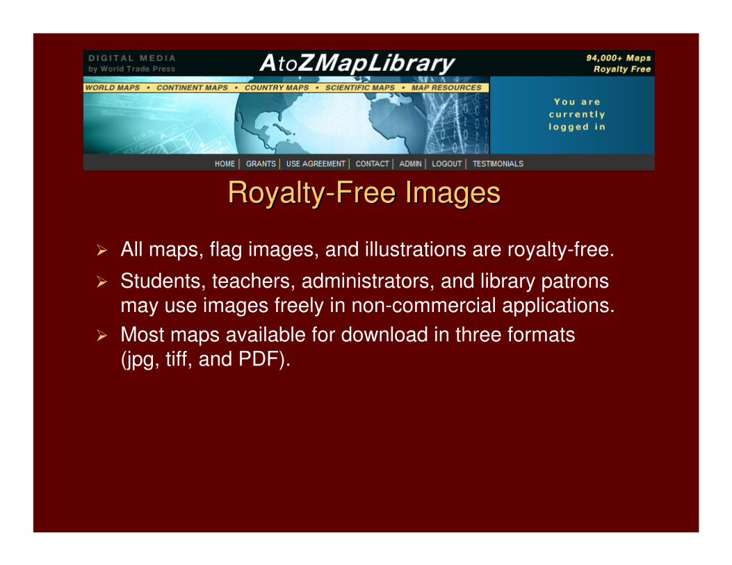
� All maps, flag images, and illustrations are royalty-free.
� Students, teachers, administrators, and library patrons
may use images freely in non-commercial applications.
� Most maps available for download in three formats
(jpg, tiff, and PDF).
RoyaltyRoyalty--Free ImagesFree Images
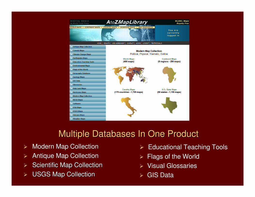
� Modern Map Collection
� Antique Map Collection
�� Scientific Map CollectionScientific Map Collection
�� USGS Map CollectionUSGS Map Collection
Multiple Databases In One ProductMultiple Databases In One Product
� Educational Teaching Tools
� Flags of the World
� Visual Glossaries
� GIS Data
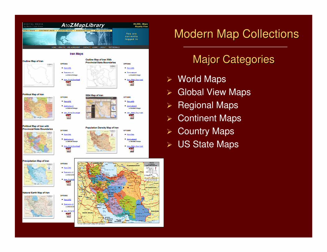
� World Maps
� Global View Maps
� Regional Maps
� Continent Maps
� Country Maps
� US State Maps
Major CategoriesMajor Categories
Modern Map CollectionsModern Map Collections
Modern Map CollectionsModern Map Collections
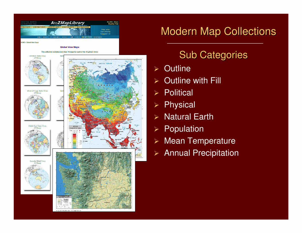
� Outline
� Outline with Fill
� Political
� Physical
� Natural Earth
� Population
� Mean Temperature
� Annual Precipitation
Sub CategoriesSub Categories
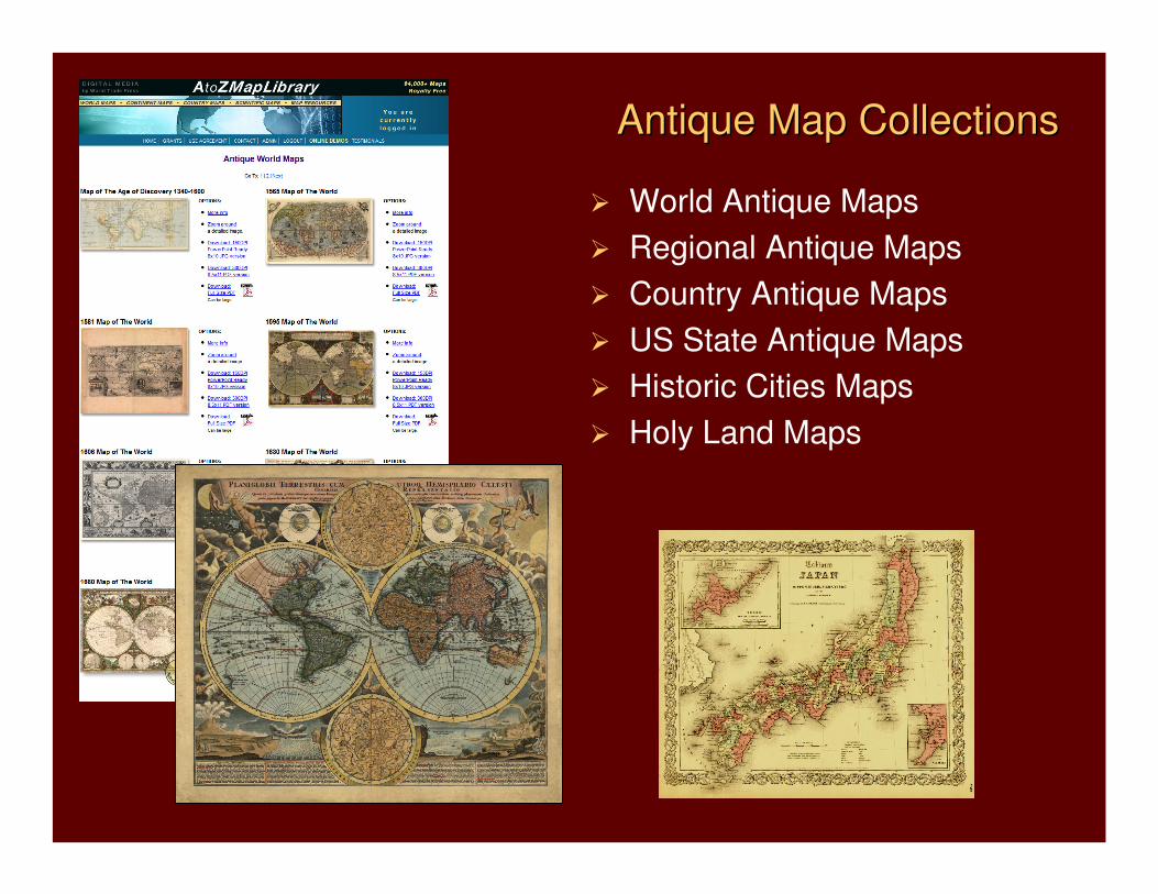
� World Antique Maps
� Regional Antique Maps
� Country Antique Maps
� US State Antique Maps
� Historic Cities Maps
� Holy Land Maps
Antique Map CollectionsAntique Map Collections
Antique Map CollectionsAntique Map Collections
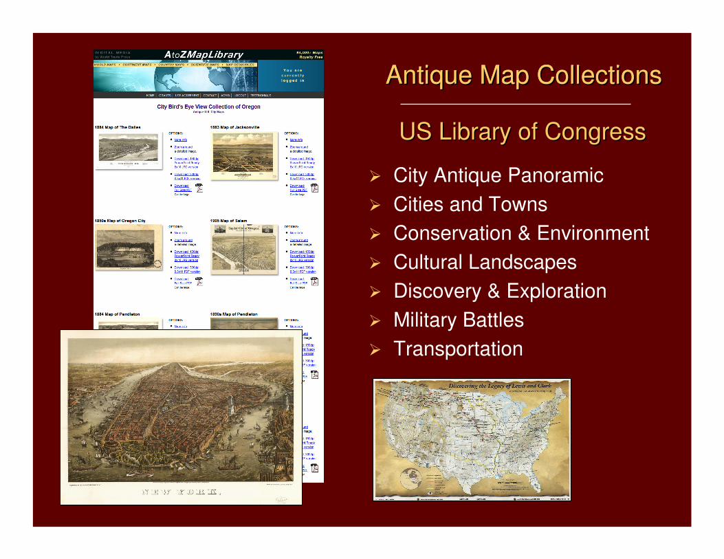
� City Antique Panoramic
� Cities and Towns
� Conservation & Environment
� Cultural Landscapes
� Discovery & Exploration
� Military Battles
� Transportation
Antique Map CollectionsAntique Map Collections
US Library of CongressUS Library of Congress
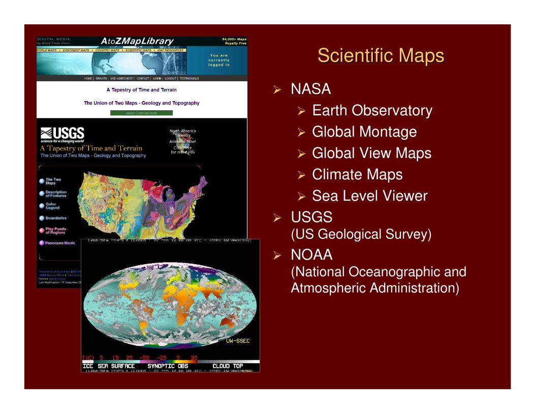
� NASA
� Earth Observatory
� Global Montage
� Global View Maps
� Climate Maps
� Sea Level Viewer
� USGS(US Geological Survey)
� NOAA(National Oceanographic and Atmospheric Administration)
Scientific MapsScientific Maps
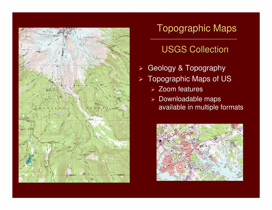
Topographic Maps Topographic Maps Topographic MapsTopographic Maps
USGS CollectionUSGS Collection
� Geology & Topography
� Topographic Maps of US
� Zoom features
� Downloadable maps available in multiple formats
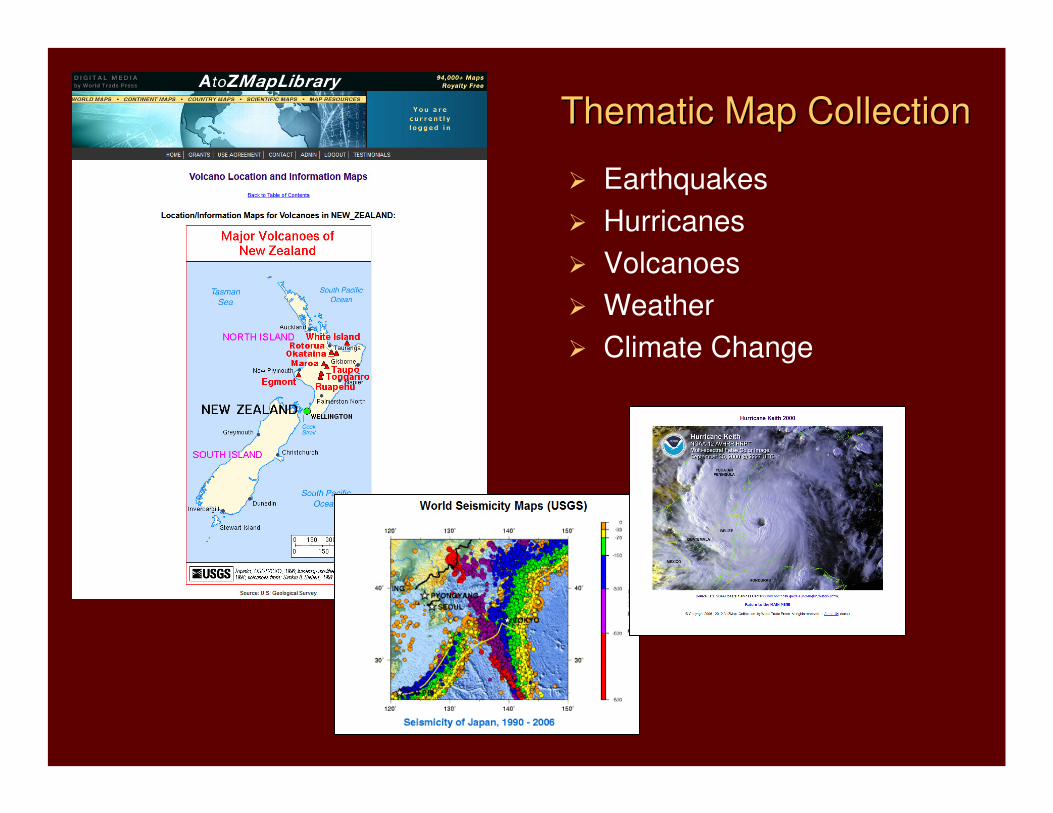
Thematic Map CollectionThematic Map Collection
� Earthquakes
� Hurricanes
� Volcanoes
� Weather
� Climate Change
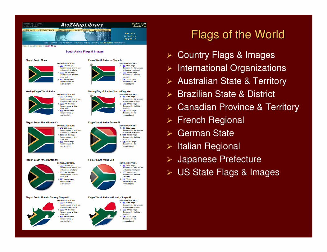
� Country Flags & Images
� International Organizations
� Australian State & Territory
� Brazilian State & District
� Canadian Province & Territory
� French Regional
� German State
� Italian Regional
� Japanese Prefecture
� US State Flags & Images
Flags of the WorldFlags of the World
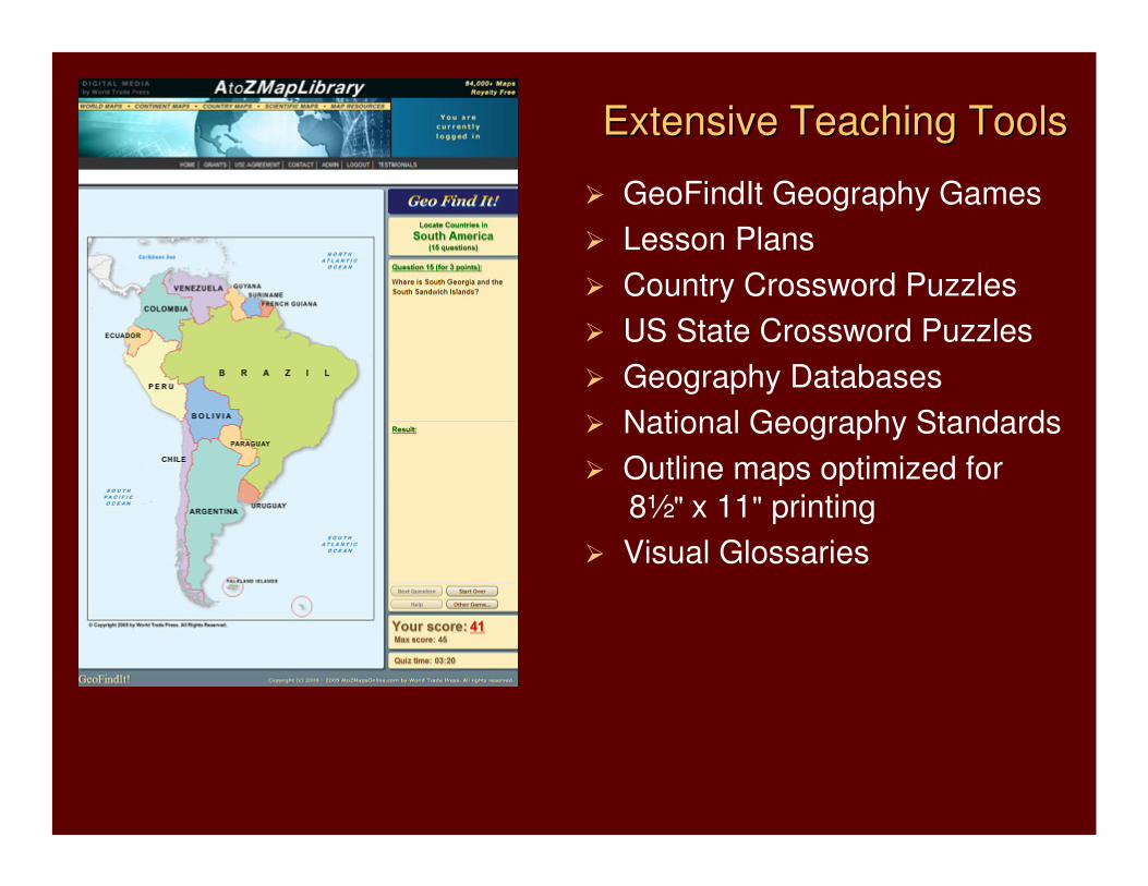
� GeoFindIt Geography Games
� Lesson Plans
� Country Crossword Puzzles
� US State Crossword Puzzles
� Geography Databases
� National Geography Standards
� Outline maps optimized for
8½" x 11" printing
� Visual Glossaries
Extensive Teaching ToolsExtensive Teaching Tools
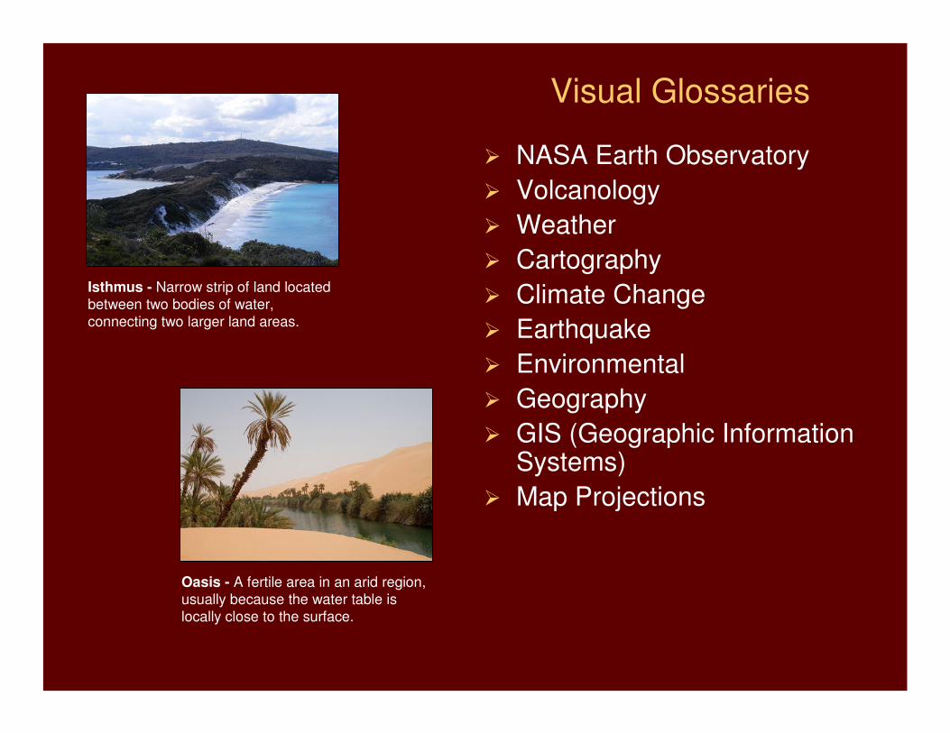
Visual Glossaries
� NASA Earth Observatory
� Volcanology
� Weather
� Cartography
� Climate Change
� Earthquake
� Environmental
� Geography
� GIS (Geographic Information Systems)
� Map Projections
Isthmus - Narrow strip of land located
between two bodies of water,
connecting two larger land areas.
Oasis - A fertile area in an arid region,
usually because the water table is
locally close to the surface.
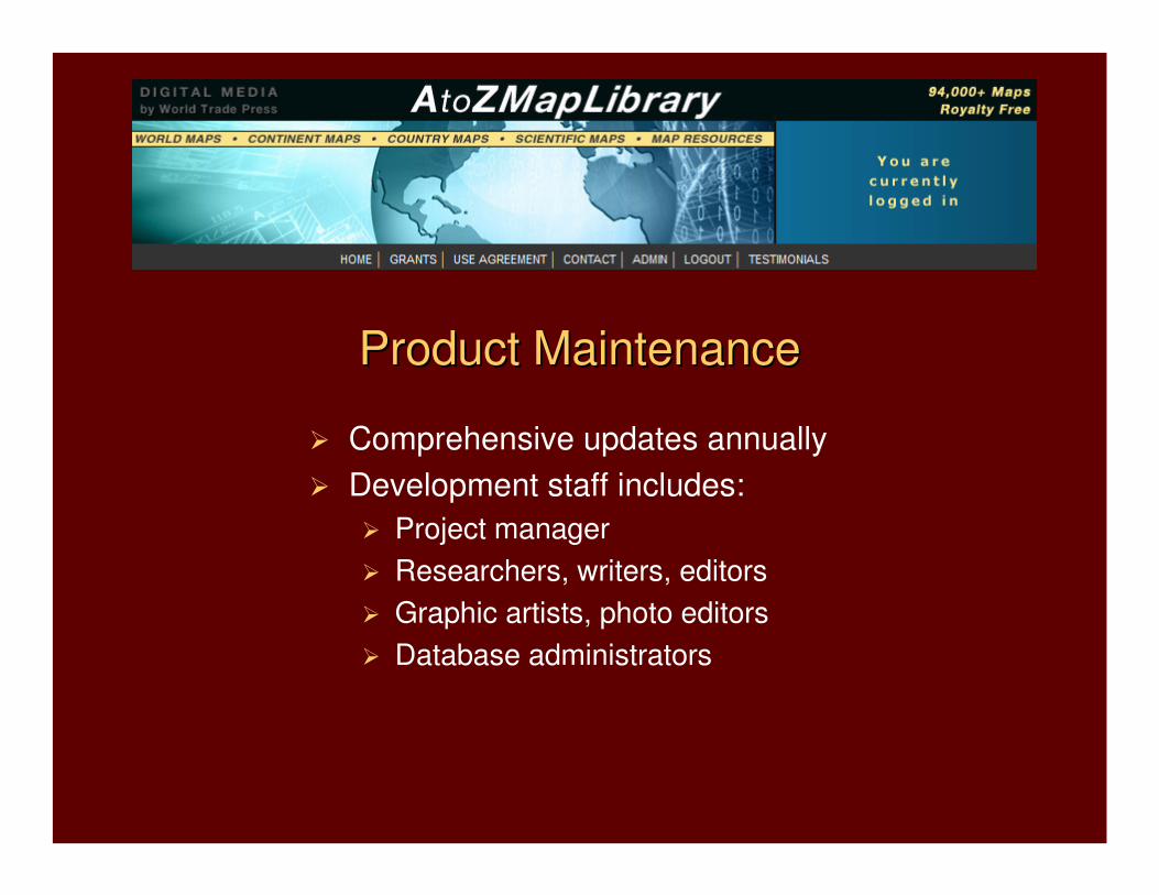
� Comprehensive updates annually
� Development staff includes:
� Project manager
� Researchers, writers, editors
� Graphic artists, photo editors
� Database administrators
Product MaintenanceProduct Maintenance
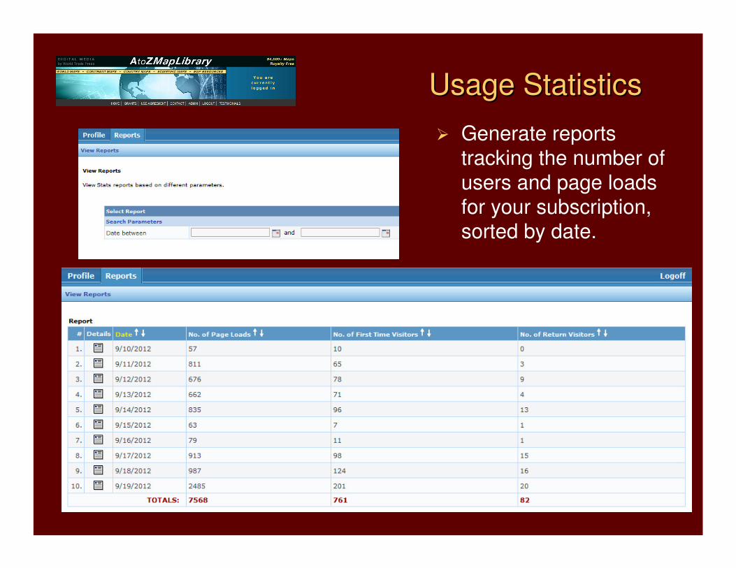
Usage StatisticsUsage Statistics
� Generate reports
tracking the number of
users and page loads for your subscription, sorted by date.
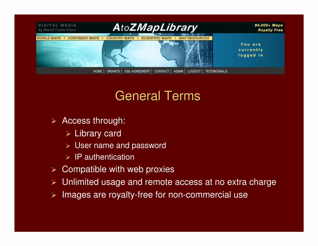
General TermsGeneral Terms
� Access through:
� Library card
� User name and password
� IP authentication
� Compatible with web proxies
� Unlimited usage and remote access at no extra charge
� Images are royalty-free for non-commercial use

� Company founded in 1993
� World leader in cartographic and country databases
� Long-term relationships with corporations, government agencies, academic institutions, and libraries worldwide
� More than 1,500 hosted content solutions in place
800 Lindberg Lane, Suite 190
Petaluma, CA 94952 USA
+1 (707) 778-1124
+1 (800) 833-8586
www.WorldTradePress.com
[email protected]_________________________
www.AtoZMapsOnline.com