Managing a GIS/GPS Certificate Program - Diablo Valley … · Managing a GIS/GPS Certificate...
31
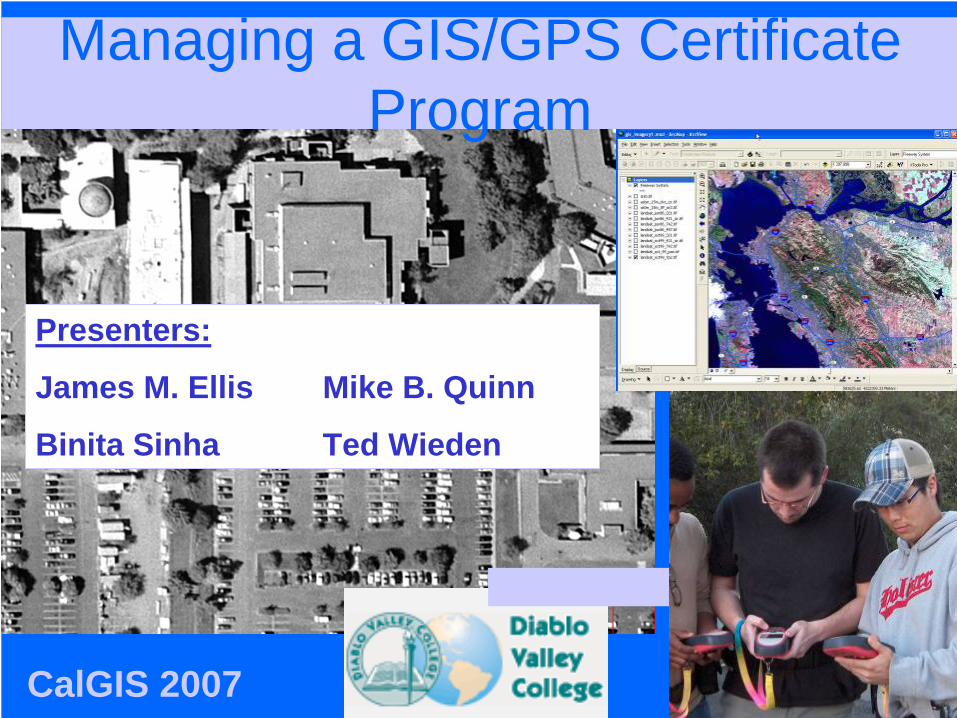
Managing a GIS/GPS Certificate Program Presenters: James M. Ellis Mike B. Quinn Binita Sinha Ted Wieden CalGIS 2007
Transcript of Managing a GIS/GPS Certificate Program - Diablo Valley … · Managing a GIS/GPS Certificate...
Managing a GIS/GPS Certificate Program
Presenters:
James M. Ellis Mike B. Quinn
Binita Sinha Ted Wieden
CalGIS 2007

Presentation Highlights
• Background and Nature • Course and Program offerings• Resources• Profile of students• Challenges• Solutions• Future direction

Background and Nature:
• CANS Collaboration in late 1990s • The Perkins VTEA Grant 2003• Ongoing Advisory Committee • Area Labor Market survey

Area Labor Market Survey
0
20
40
60
80
100
Percent of Positive
Response
New Hirings NewOpenings
Need fortrained Staff
Porspects ofFutureGrowth
Results of Survey

Programs• Certificate of Completion – 15 Units• Certificate of Achievement – 31 Units• AS Degree – 60 Units.
Program Focus:• Integrating Disciplines• Interdisciplinary Collaborations on Community Projects • Internship and Cooperative education.

Resources
• Hardware– 31Dell Pentium Desktops– HP Large Format Plotter– HP Laser Printer– Calcomp Large Format
Digitizer– 30 Magellan 310 GPS
receivers– 30 Garmin eTrex GPS
receivers– 25 Leica GS20 Mapping
Grade GPS receivers– 10 Leica WoRCS Belts– 3 Trimble GeoExplorer 3
• Software– ESRI ArcInfo 9.x and
extensions– Leica Erdas Imagine
Professional– Leica GPS Data Pro– Trimble PathFinder
Office


Course OfferingsCORE Courses– Introduction to GIS– Advanced GIS– Introduction to GPS– Advanced GPS– Introduction to Remote
Sensing– Maps and Cartography
ElectivesArea 1 – Computer and Information Technology
Area 2 – Application Focus Area

Introduction to GIS
• Covers GIS concepts, techniques and methodologies. lab activities are used to reinforce lecture concepts.

Advanced GIS
• Advanced analytical techniques of geographic information systems- spatial analyses, 3D analyses, integration with GPS and remote sensing.

Geologic Map in GIS
JME/MBQ Nov04DVC GPS/GIS Certificate Steering Committee

Intro GPS
• Covers – principles of GPS, operational characteristics, limitations, potential errors and applications.
• Activities with GPS receivers are required.

Advanced GPS• Advanced topics - data
dictionaries, differential GPS and integration with GIS.
• Prepares students for additional studies in specific applications of GPS

Introduction to Remote Sensing
• Covers the basic principles of remote sensing techniques
• Explains how remotely sensed data is interpreted and integrated with the geographic information systems.

Remote Sensing
• Many types of imagery loaded into GIS– Satellite, aerial photography, DEM
• Data resides on the server
• Available to anyone at DVC
JME/MB

1999, 15-meter satellite image with DEM in GIS
JME/MBQ Nov04DVC GPS/GIS Certificate Steering Committee

2003 Satellite Imagery with 20001’ orthophotography in GIS
JME/MBQ Nov04DVC GPS/GIS Certificate Steering Committee

Urban
AgriculturalJME/MBQ Nov04DVC GPS/GIS Certificate Steering Committee

Majority Filter applied to classification to minimize “salt & pepper” appearance and prepare for conversion to GIS vector file by reducing number of polygons
Classification

Supervised Classification
Identify landuse classes
Learn color scheme and labeling

Maps and Cartography
• Covers the basic principles of mapping and representation of spatial data.
• Recommended that students take this class after completing the other core courses.

Mapping crime data

Visualization
•Planning•Entertainment•Education
JME/MBQ

Student Projects - Objectives
• Real-world data• Implement technology• Problem-solving/ Decision-making• Develop presentation skills• Time management• Build portfolio

Profile of Students• Mostly working adults• Seeking a career-
change• Fewer transfer
students• Post-Graduate
students• Highly motivated• High retention rate• High success rate

Challenges• For Students:
– Multiple Commitments– Commute– Duration of Courses– High Tech/ No Prerequisites– Widely varying levels of preparation
• For Program:– High cost of maintenance– Keeping up with current trends– Articulation with other educational institutes– Marketing and advertising

Solution
• Distance Learning - ProfCast
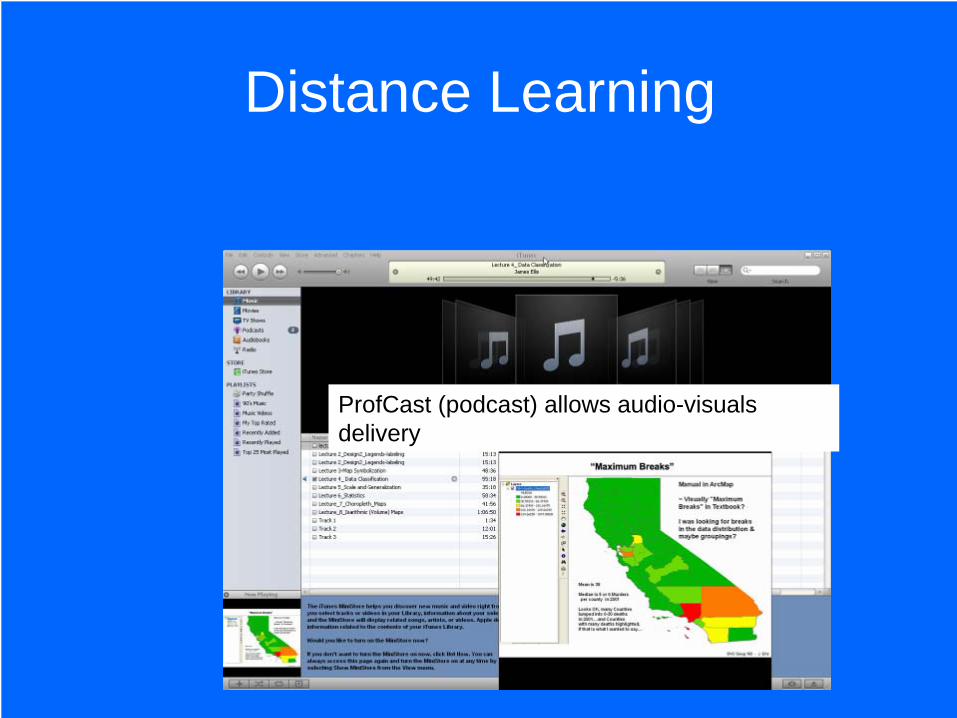
Distance Learning
ProfCast (podcast) allows audio-visuals delivery

WebCT Page
Online Course Content Delivery System
Facilitates file-transfer and on-line evaluation

Goals and Objectives of a Certificate Program and AS Degree
• To provide a comprehensive curriculum in order to prepare students for a career in GIS-related businesses and agencies.
• To provide further training opportunities for individuals currently employed with GIS-related businesses and agencies.

Future Directions
• Maintain and keep the curriculum current• Offer short-term courses for continuing
education credits. • Increase partnership with local public and
private sectors• Offer courses online.