Integrating Space-Time Analysis Michael F. Goodchild University of California Santa Barbara.
30
Integrating Space-Time Analysis Michael F. Goodchild University of California Santa Barbara
-
Upload
oscar-lowes -
Category
Documents
-
view
214 -
download
0
Transcript of Integrating Space-Time Analysis Michael F. Goodchild University of California Santa Barbara.

Integrating Space-Time Analysis
Michael F. Goodchild
University of California
Santa Barbara
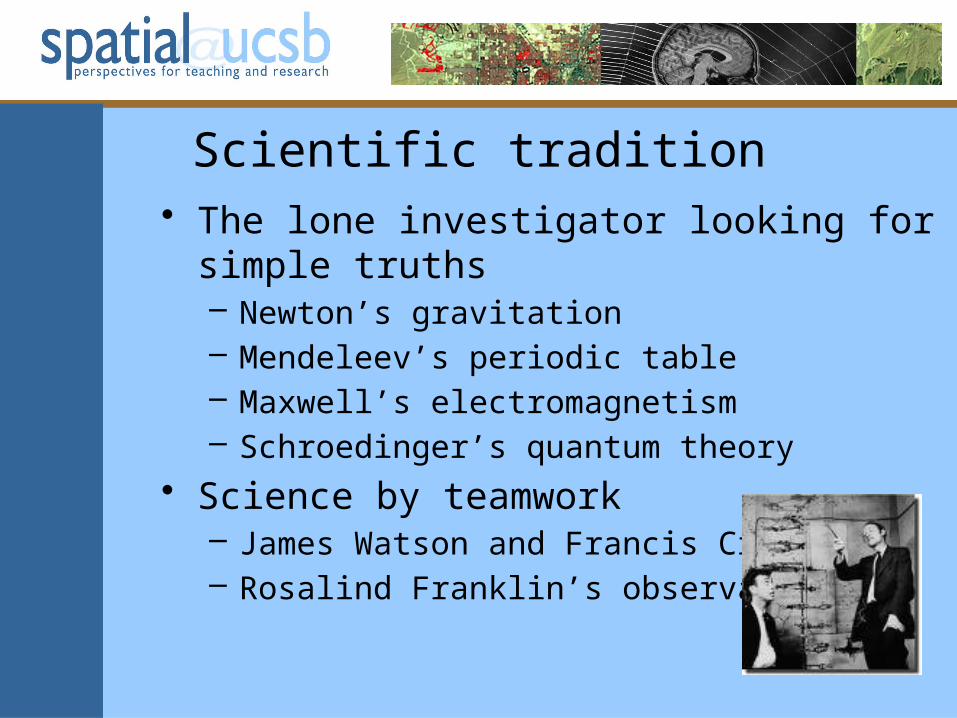
Scientific tradition• The lone investigator looking for simple truths
– Newton’s gravitation– Mendeleev’s periodic table– Maxwell’s electromagnetism– Schroedinger’s quantum theory
• Science by teamwork– James Watson and Francis Crick– Rosalind Franklin’s observations
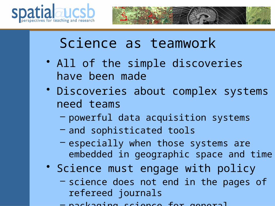
Science as teamwork• All of the simple discoveries have been made• Discoveries about complex systems need
teams– powerful data acquisition systems– and sophisticated tools– especially when those systems are embedded in
geographic space and time
• Science must engage with policy– science does not end in the pages of refereed
journals– packaging science for general consumption

From spatial to spatiotemporal• Early map-based GIS
– 2D and static– matching the availability of data– matching our conceptual abilities
• overlay, the “GIS spike”
Time is of the essence• Policy and public interest are driven by
change (Frank)• Everything that happens happens
somewhere in space and time (Wegener)• Every major issue has a time scale
– climate change (decades)– climate tipping points (years)– economic meltdown (months)– infectious diseases (weeks)– disasters (days)
Studying complex problems• In space and time
– using sophisticated tools and voluminous data
• Domain-specific or domain-neutral?– is it possible to design generic tools that can be
applied to any space-time data• spatial interpolation using Kriging or IDW
– or should tools be to some extent specific to the domain?• and how specific?• “physics-based” or theory-based tools• spatial interpolation incorporating orographic effects

How to design these tools?• The Waterfall process?
– define the application domain– sample it with use cases– define the necessary functionality– design optimal data models
• Is the domain all of spatiotemporal analysis and modeling?– from social to environmental– if not, what defines those domains?
• concepts of process• types of data


A short history of GIS data modeling• Canada Geographic Information System
(1965)– all inputs area-class maps
• US Bureau of the Census (1972)– reporting zones as polygon coverages
• Topological Data Structures meeting (1977)– ODYSSEY, ARC/INFO– Intergraph’s TIGRIS
• One data model, multiple applications– economies of scale in software development

GIS today• Many more data types• Object-oriented paradigm• Data are increasingly 3D, dynamic• Is there still the potential for a unified
approach– with its massive scale economies?
• What divisions exist within the spatiotemporal domain?– can we repeat the process of the 1970s?
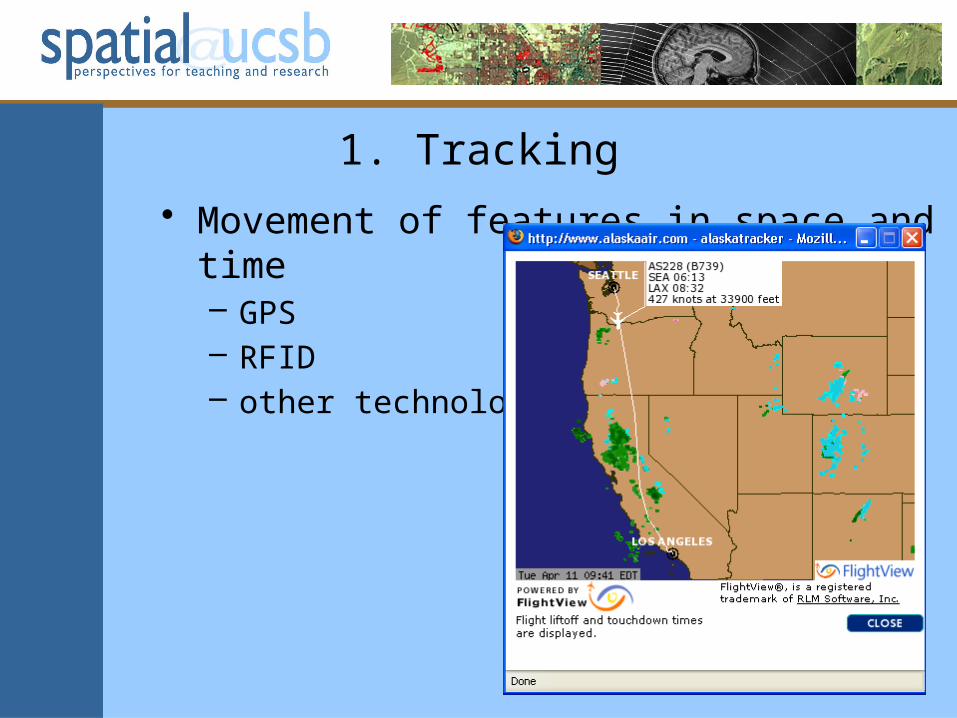
1. Tracking
• Movement of features in space and time– GPS– RFID– other technologies

CASA UCL, http://www.casa.ucl.ac.uk/capableproject/maps/home.asp

Light-level geolocation (Stutchbury et al., Science 2/13/09)
Purple Martin
Wood Thrush

Tracks inferred from Flickr postings (http://www.cs.cornell.edu/~crandall/papers/mapping09www.pdf)
Functionality• Hägerstrand’s conceptual framework
– new advances in theory
• Track interpolation– between infrequent samples
• Inferences about activity• Track convergence• Shih-Lung Shaw’s ArcScene extension• Theory guiding research questions
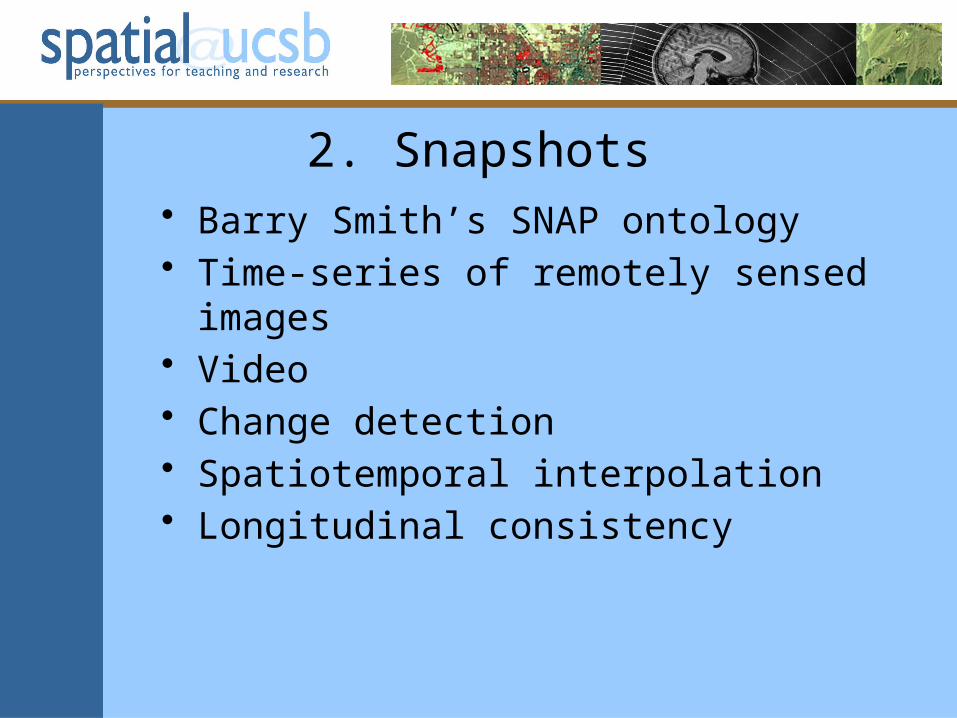
2. Snapshots• Barry Smith’s SNAP ontology• Time-series of remotely sensed images• Video• Change detection• Spatiotemporal interpolation• Longitudinal consistency

Rondonia, Brazil, 1975, 1986, 1992


3. Polygon coverages• Gail Langran, Time in Geographic
Information Systems, 1992• National Historic GIS
– reconciling change in reporting zones
• z(i,t) = f[z(i,t-1),z(j,t),…]• Serge Rey’s STARS – Space-Time Analysis
of Regional Systems
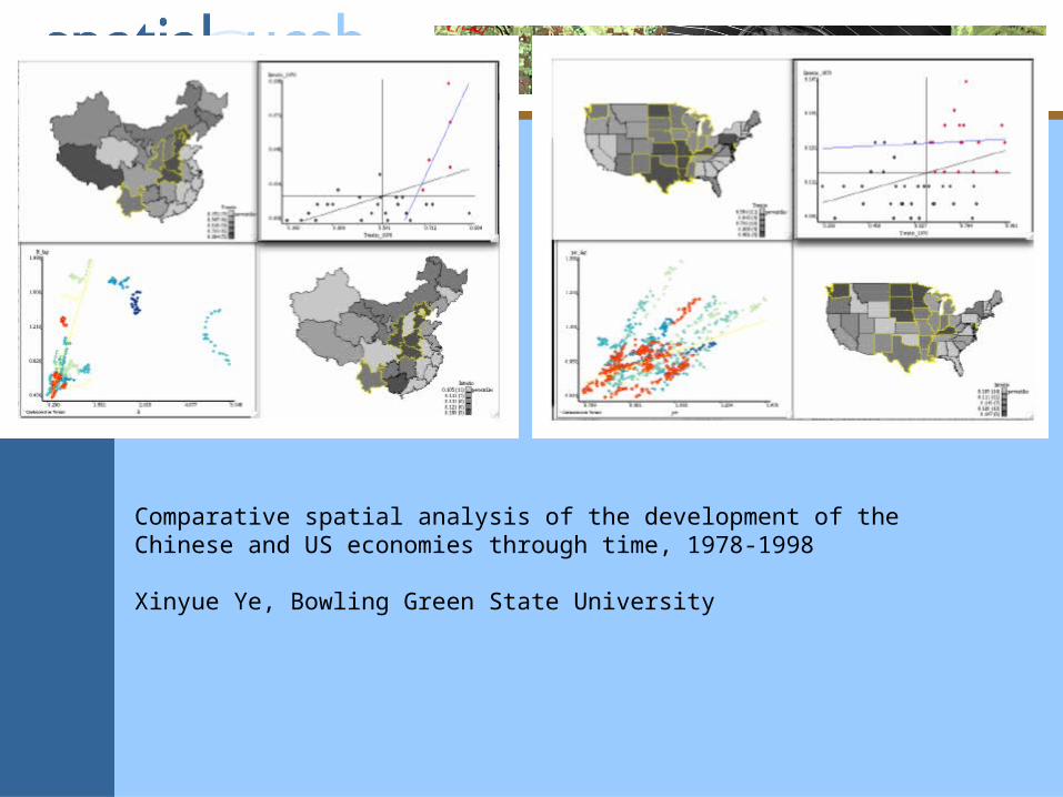
Comparative spatial analysis of the development of the Chinese and US economies through time, 1978-1998
Xinyue Ye, Bowling Green State University

4. Cellular automata• A fixed raster of cells• A set of states for each cell• A set of rules that determine state transitions
through time• PCRaster

Keith Clarke, UC Santa Barbara
CA model of development based on transition probabilities as functions of slope, access to transportation, zoning, and states of neighboring cells
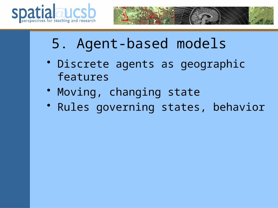
5. Agent-based models• Discrete agents as geographic features• Moving, changing state• Rules governing states, behavior


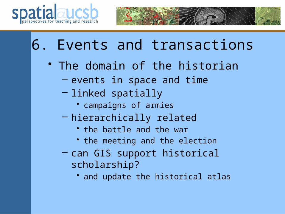
6. Events and transactions• The domain of the historian
– events in space and time– linked spatially
• campaigns of armies
– hierarchically related• the battle and the war• the meeting and the election
– can GIS support historical scholarship?• and update the historical atlas

7. Multidimensional data• Environmental data intensively sampled in
time – with fixed and sparse spatial support
• Atmospheric science, oil and gas, groundwater
• Fauerbach, Edsall, Barnes, MacEachren animation

One domain or seven?• All seven need the multidisciplinary tools of
GIS– to interpret, assess, and visualize results– to package results for public consumption
• All seven need to be informed by domain-specific theory
• All need to run faster than reality– an issue with time-critical applications
• e.g. evacuation models
– may necessitate custom software• e.g. parallel processing

Tasks for the research community• What are the research questions?
– what are the use cases?– some domains may be driven by data availability
rather than research needs
• What are the functions?– at what level of granularity?– standardized for discovery– elusive even for traditional GIS
• What are the data models?– the focus of much of the research to date