Geodata research on former military training camp - hnee.de · • Data research • Derive...
26
„Geodata research on former military training area Kyritz‐Ruppiner‐Heide“ in cooporation with Heinz‐Sielmann‐Stiftung Frank Schneider – 25.04.2013
Transcript of Geodata research on former military training camp - hnee.de · • Data research • Derive...
„Geodata research on former military training area Kyritz‐Ruppiner‐Heide“
in cooporation with Heinz‐Sielmann‐Stiftung
Frank Schneider – 25.04.2013
Content
1. Introduction
2. Method
2.1 Investigation area2.2 Main investigation approach
3. Results
4. Conclusion and preview
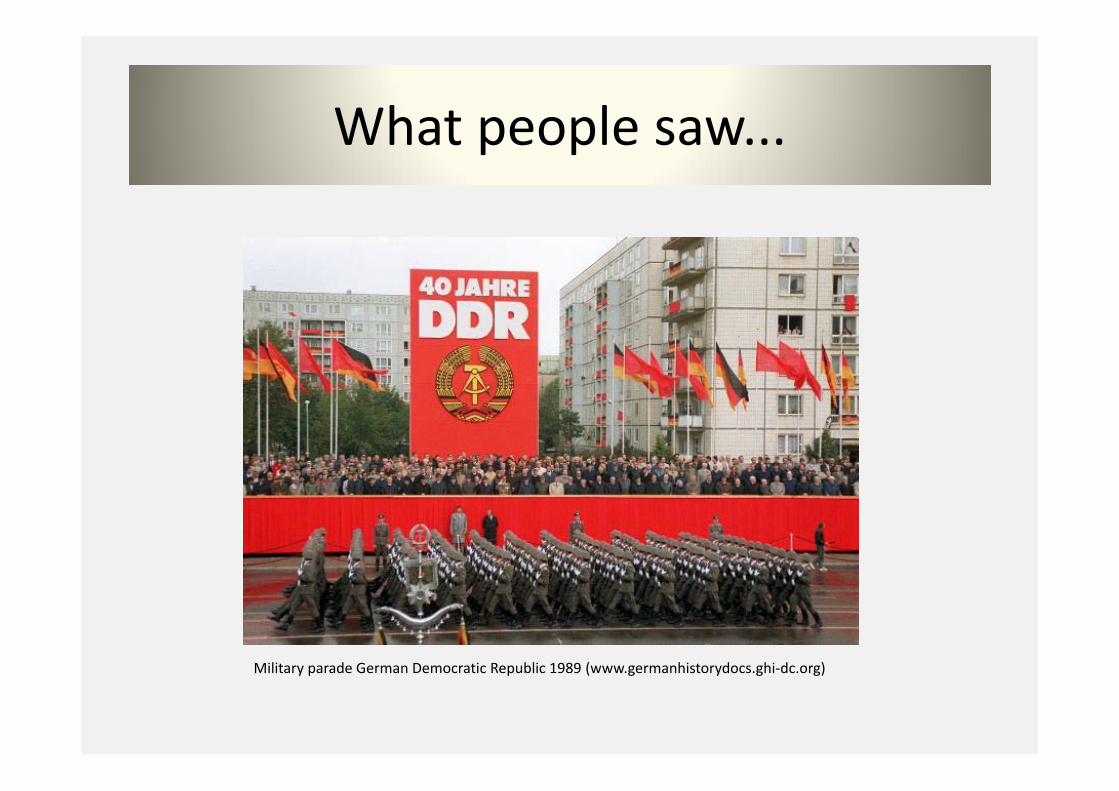
What people saw...
Military parade German Democratic Republic 1989 (www.germanhistorydocs.ghi‐dc.org)
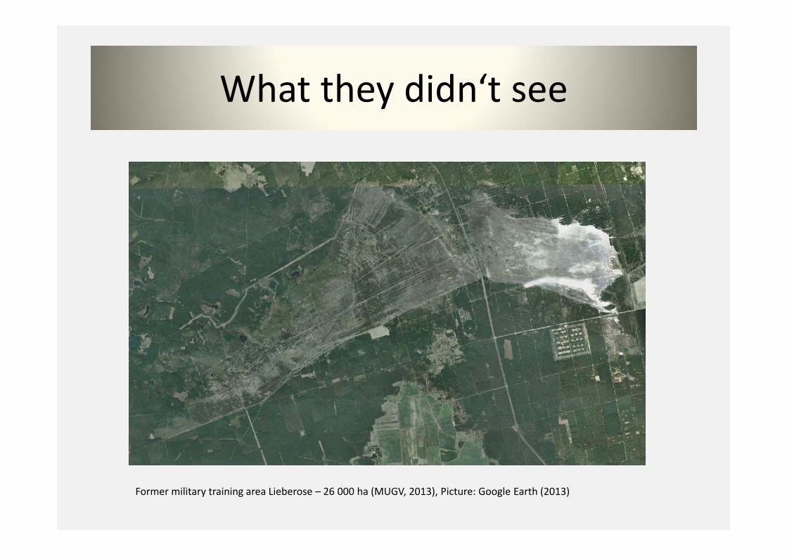
What they didn‘t see
Former military training area Lieberose – 26 000 ha (MUGV, 2013), Picture: Google Earth (2013)
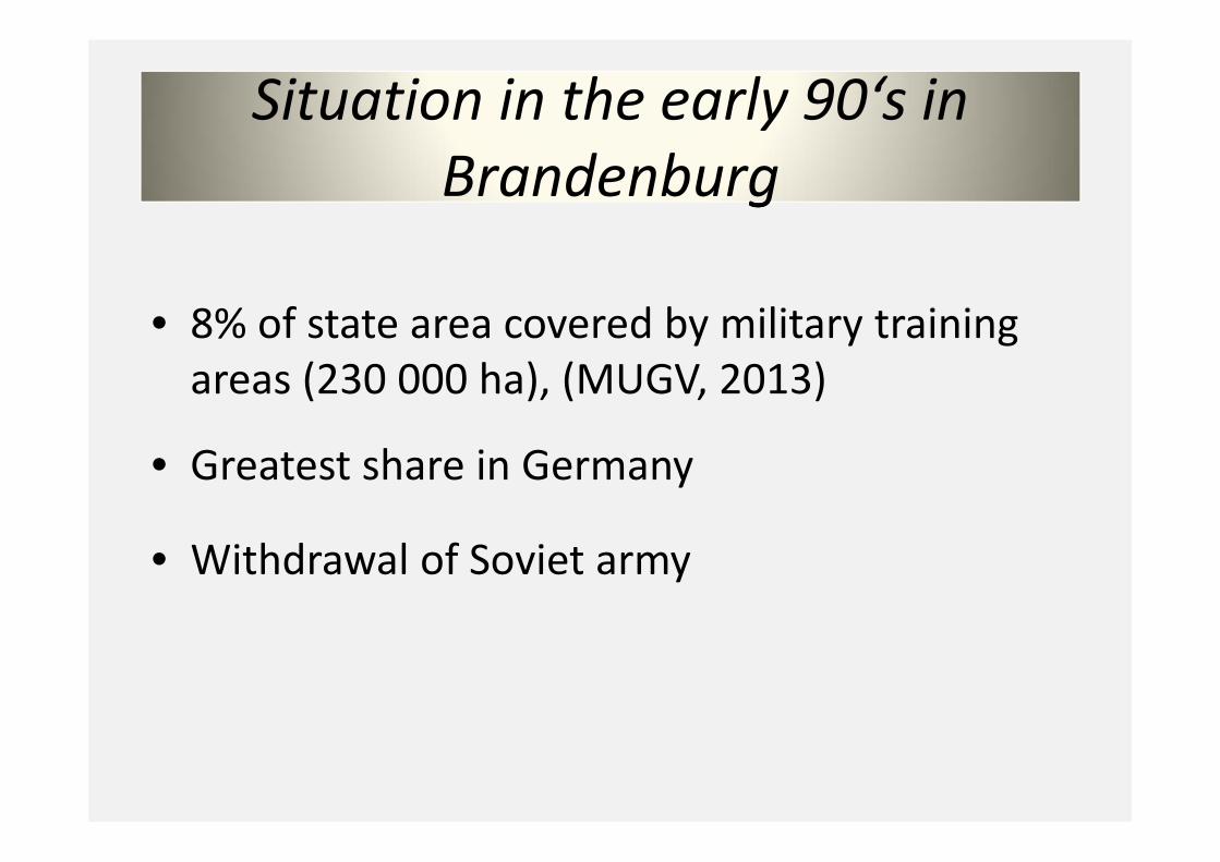
gSituation in the early 90‘s in
Brandenburg
• 8% of state area covered by military training areas (230 000 ha), (MUGV, 2013)
• Greatest share in Germany
• Withdrawal of Soviet army
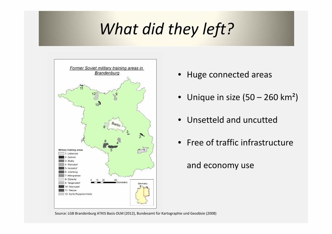
What did they left?
• Huge connected areas
• Unique in size (50 – 260 km²)
• Unsetteld and uncutted
• Free of traffic infrastructure
and economy use
Source: LGB Brandenburg ATKIS Basis‐DLM (2012), Bundesamt für Kartographie und Geodäsie (2008)

Characteristics
• Isolated in time and space
• Independent vegetation development
• High biodiversity(Exeptional species rich in
flora and Fauna)
• Broad spectrum of ecosystems
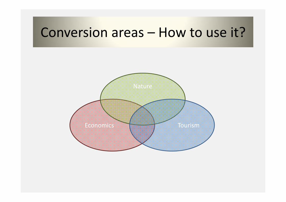
Conversion areas – How to use it?
Economics
Nature
Tourism
How to find a good solution?
• Data research
• Derive information from data
• Find arguments for further land use based on
information
„Geodata research on the formermilitary training camp Kyritz‐Ruppiner‐Heide“

Kyritz‐Ruppiner‐Heide
• Total size of area is 11900 ha
• 5900 ha covered by forest
• 6200 ha by heath and bare land
(Data: Gewiß, 2011)
Source: LGB Brandenburg ATKIS Basis‐DLM (2012), Landesbetrieb Straßenwesen (2010), Bundesamt für Kartographie und Geodäsie (2008)
Characteristics
• High intensity of military use
• Training area for artillery and bombings
• Highly polluted by ammunition and bombs
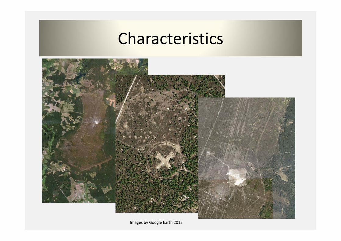
Characteristics
Images by Google Earth 2013
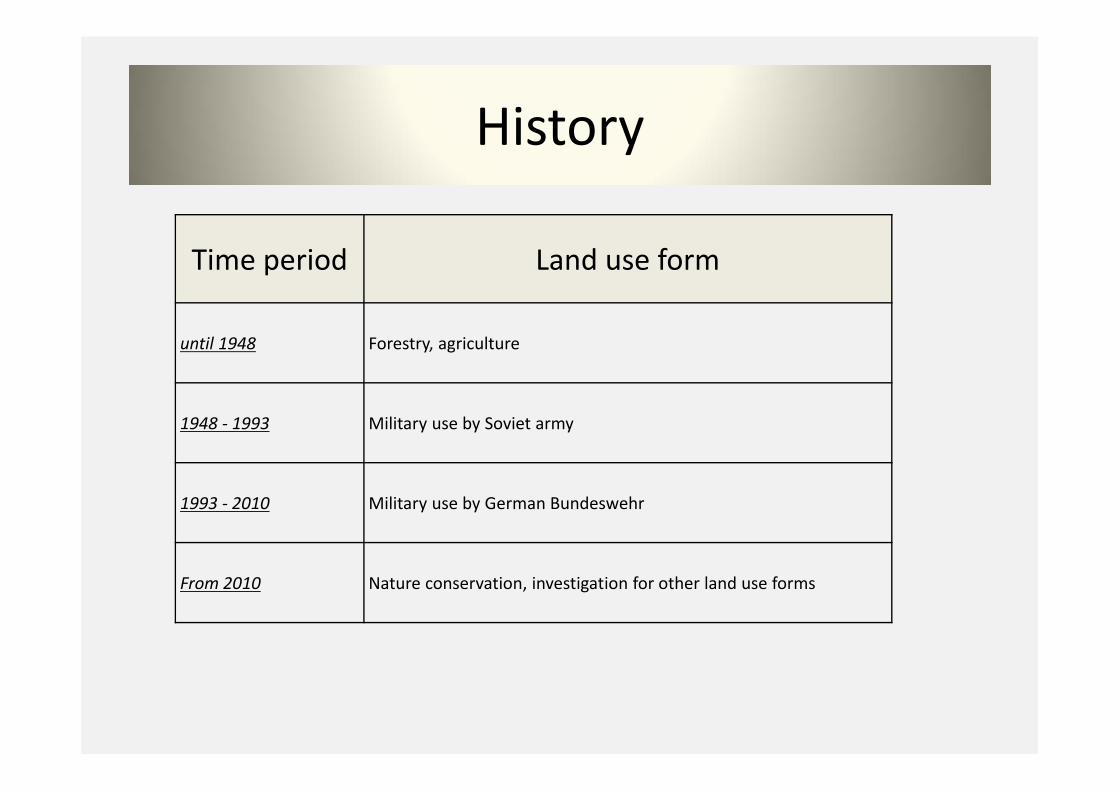
History
Time period Land use form
until 1948 Forestry, agriculture
1948 ‐ 1993 Military use by Soviet army
1993 ‐ 2010 Military use by German Bundeswehr
From 2010 Nature conservation, investigation for other land use forms
Value of geodata
• Representation present of past periods
• Highly polluted with ammunition
• Access prohibition on fine
• Possibility to analyze area without entering

Goal of the project
• Collecting geodata
• Historical description of the research area by
geodata
• Creation of data foundation for further
scientific researches
Method
• Online database research
• Personal data review in geodata archivs
• Storing and sorting researched data
Focus on
• Topographic maps
• Aerial images
• Orthofotos
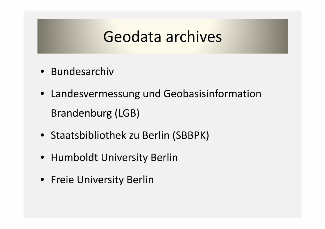
Geodata archives
• Bundesarchiv
• Landesvermessung und Geobasisinformation
Brandenburg (LGB)
• Staatsbibliothek zu Berlin (SBBPK)
• Humboldt University Berlin
• Freie University Berlin
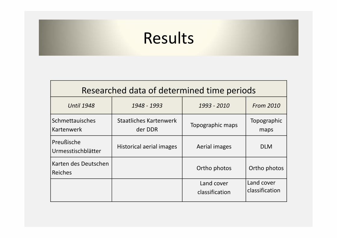
Results
Researched data of determined time periodsUntil 1948 1948 ‐ 1993 1993 ‐ 2010 From 2010
SchmettauischesKartenwerk
Staatliches Kartenwerk der DDR
Topographic mapsTopographic
maps
Preußische Urmesstischblätter
Historical aerial images Aerial images DLM
Karten des Deutschen Reiches
Ortho photos Ortho photos
Land coverclassification
Land coverclassification

Archivs
Data sets Bundesarchiv LGB SBBPKHU
BerlinFU
Berlin
Schmettauisches Kartenwerk X X X
Preußische Urmesstischblätter X X X
Karten des Deutschen Reiches X X X X X
Kartenwerk der DDR X X X X
Historical airborne images X X
Modern topographic maps X X
DLM X
Ortho photos X
Land use maps X
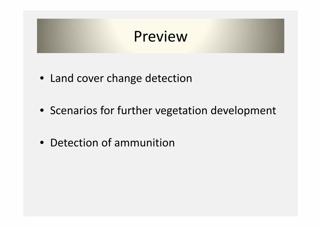
Preview
• Land cover change detection
• Scenarios for further vegetation development
• Detection of ammunition
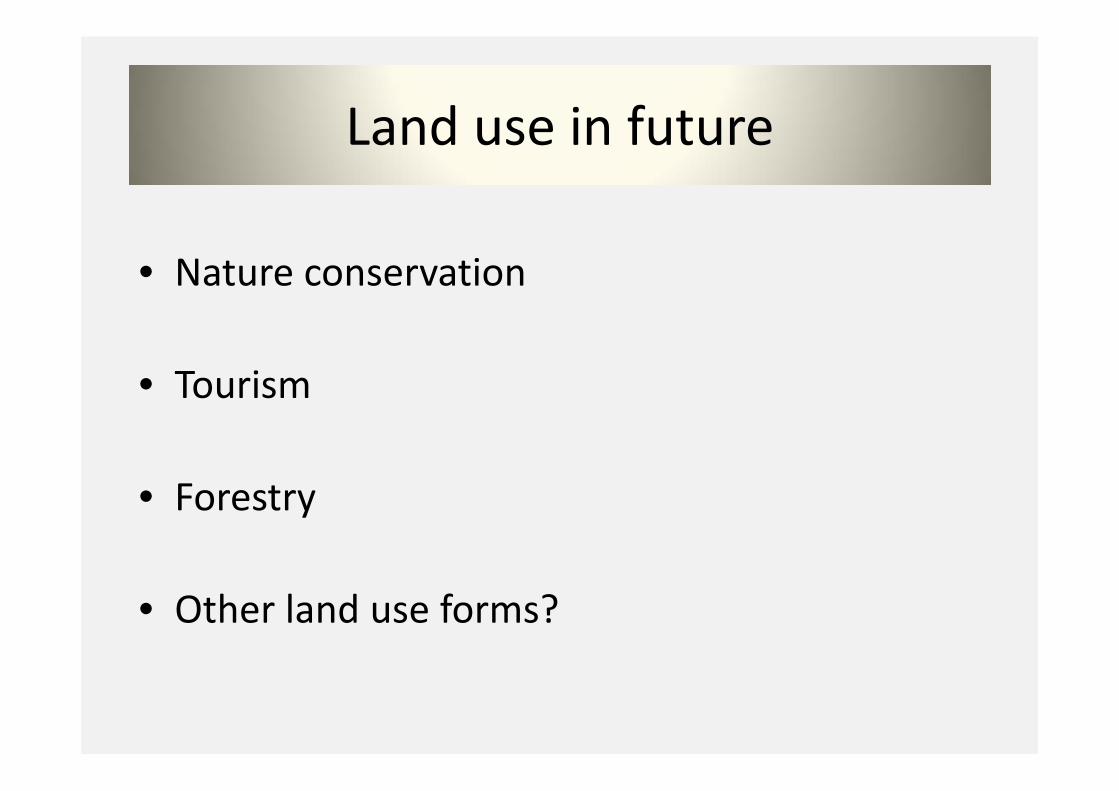
Land use in future
• Nature conservation
• Tourism
• Forestry
• Other land use forms?

Conclusions
• Difficult to get data for the former GDR
• Excellent data pool from 1990
• Very good service at any archive
• Please consider the costs
Sources• Ministerium für Umwelt, Gesundheit und Verbraucherschutz.
http://www.mugv.brandenburg.de, 2013• Gewiß, Anika (2010): Die Kyritz‐Ruppiner Heide. Perspektiven für einen ehemaligen
Truppenübungsplatz. Greifswald• German history in documents and images. URL:
http://www.germanhistorydocs.ghi‐dc.org, visited last: 22.04.2013

Thank you …
for your attention!