Clearinghouse WG Telecon 16 May 2001. Agenda Deployed software status NSDI FAQ resource CAP Grants...
28
Clearinghouse WG Telecon 16 May 2001
-
Upload
walter-hancock -
Category
Documents
-
view
216 -
download
1
Transcript of Clearinghouse WG Telecon 16 May 2001. Agenda Deployed software status NSDI FAQ resource CAP Grants...

Clearinghouse WG Telecon
16 May 2001

Agenda
• Deployed software status
• NSDI FAQ resource
• CAP Grants information
• Standards Activities
• Other business

Deployed software status
• Server software (Isite, MetaManager, SMMS, BlueAngel Server)
• Gateway software (Blue Angel)
• ICN Web Search Module

Isite Status• Version 2.08 about to be released• Isearch2 replaces Isearch
– Originally developed for Astronomical Software Directory Service (ASDS)
– Index by URL– Reliance on original source files reduced– Faster search times– Local file cache for remote files
• Anticipated release 6/1• Contact [email protected] if interested in
testing
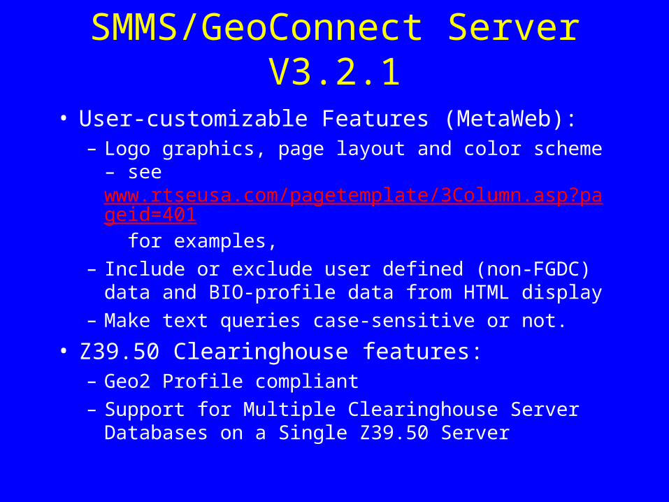
SMMS/GeoConnect Server V3.2.1
• User-customizable Features (MetaWeb): – Logo graphics, page layout and color scheme – see
www.rtseusa.com/pagetemplate/3Column.asp?pageid=401 for examples,
– Include or exclude user defined (non-FGDC) data and BIO-profile data from HTML display
– Make text queries case-sensitive or not.
• Z39.50 Clearinghouse features:– Geo2 Profile compliant
– Support for Multiple Clearinghouse Server Databases on a Single Z39.50 Server

ICN Web Search Module• Wizard-style interface to registry-based db
selection and distributed, parallel search - a zcon/zgate replacement
• Runs as a servlet or CGI application• Customize to search one or more specific
servers• Tested with Windows, Linux, and Macintosh
OS X (apache, jakarta, jrun)• Full GPL java source available at
http://www.islandedge.com• Corps of Engineers will test

ICN Web Search Module
Browser httpd
Servlet engine
cgi
Zserver 0
Zserver 1
Zserver n
wizard
Registry
Blue Angel Gateway
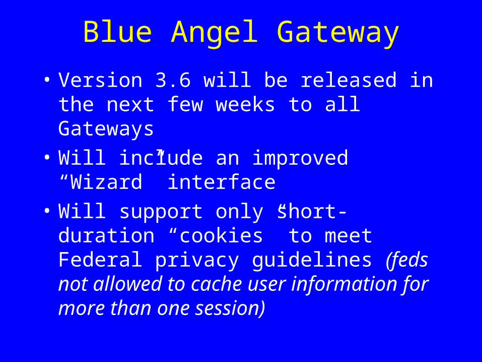
• Version 3.6 will be released in the next few weeks to all Gateways
• Will include an improved “Wizard” interface
• Will support only short-duration “cookies” to meet Federal privacy guidelines (feds not allowed to cache user information for more than one session)

NSDI FAQ resource
• This site hosts questions and answers regarding the implementation of the National Geospatial Data Clearinghouse, its metadata, and supporting software. Solutions to problems or questions you may have should be present in this list.
• URL– http://clearinghouse4.fgdc.gov/fgdcfaq/default.asp
F ed era l G eo g ra p h ic D a ta C o m m ittee (F G D C ) F A Q 's F req u en tly A sk ed Q u estio n s fo r T ech n ical F G D C T o p ics
T h is site h o sts q u estio n s an d an sw ers reg ard in g th e im p lem en tatio n o f th e N atio n al G eo sp atial D ataC learin g h o u se, its m etad ata, an d su p p o rtin g so ftw are. S o lu tio n s to p ro b lem s o r q u estio n s y o u m ay h av esh o u ld b e p resen t in th is list. If y o u h av e ad d itio n al q u estio n s, sen d an em ail m essag e to :m ailto :su p p o rt@ fg d clearh s.er.u sg s.g o v
T h e fo llo w in g FA Q 's can b e fo u n d o n th is site.
C learin g h o u se S erv er S o ftw areC learin g h o u se S earchM etad ata
T h e categ o ry h ead er lin k s to a p ag e th at d isp lay s all th e q u estio n s av ailab le in each to p icu n d er th at categ o ry.
F A Q N u m b er o fQ u estio n s
C lea rin g h o u se S erv er S o ftw a re 3 3
IS IT E S o ftw are : P ro v id in g search an d q u ery fo r th e C learin g h o u se3 1 G en eral Isite 1 3 Isite In stallatio n 4 Isite C o n fig u ratio n 11 Isite U p d ate 1 Isite P ro b lem s 2
R T S e S M M S G eo C o n n ect 1 A b o u t G eo C o n n ect 1
B lu eA n g el M etaS tar S erv er 1 A b o u t M etaS tar 1
C lea rin g h o u se S ea rch 2 5
G en eral C learin g h o u se 7 G en eral C learin g h o u se 6 test 1
C learin g h o u se S earch in g / G atew ay s 1 2 C learin g h o u se S earch in g / G atew ay s 1 2
C learin g h o u se S erv er R eg istry (N o d e R eg istratio n ) 6 R eg istry (N o d e R eg istratio n ) 6
M eta d a ta 4
M etad ata : P ro v id in g M etad ata R eferen ce M aterial 4 M etad ata 1 M etad ata FA Q 's 1 M etad ata T o o ls 2
F G D C FA Q C en ter F G D C S taff 5 /1 7 /0 1
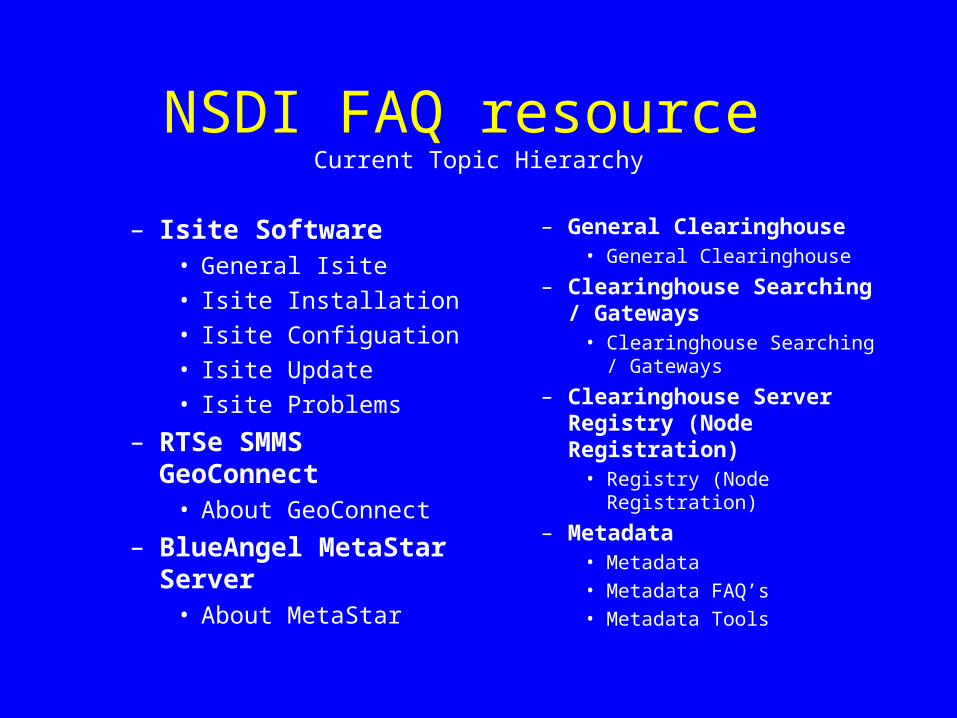
NSDI FAQ resource Current Topic Hierarchy
– Isite Software• General Isite
• Isite Installation
• Isite Configuation
• Isite Update
• Isite Problems
– RTSe SMMS GeoConnect• About GeoConnect
– BlueAngel MetaStar Server
• About MetaStar
– General Clearinghouse• General Clearinghouse
– Clearinghouse Searching / Gateways
• Clearinghouse Searching / Gateways
– Clearinghouse Server Registry (Node Registration)
• Registry (Node Registration)
– Metadata • Metadata
• Metadata FAQ’s
• Metadata Tools

NSDI FAQ resource Features
– Password protected at topic level for population and modification of FAQ
– Links will be included to existing online FAQ’s– Provides a one-stop shop for FAQ’s about
clearinghouse, software, and metadata
NSDI FAQ resource
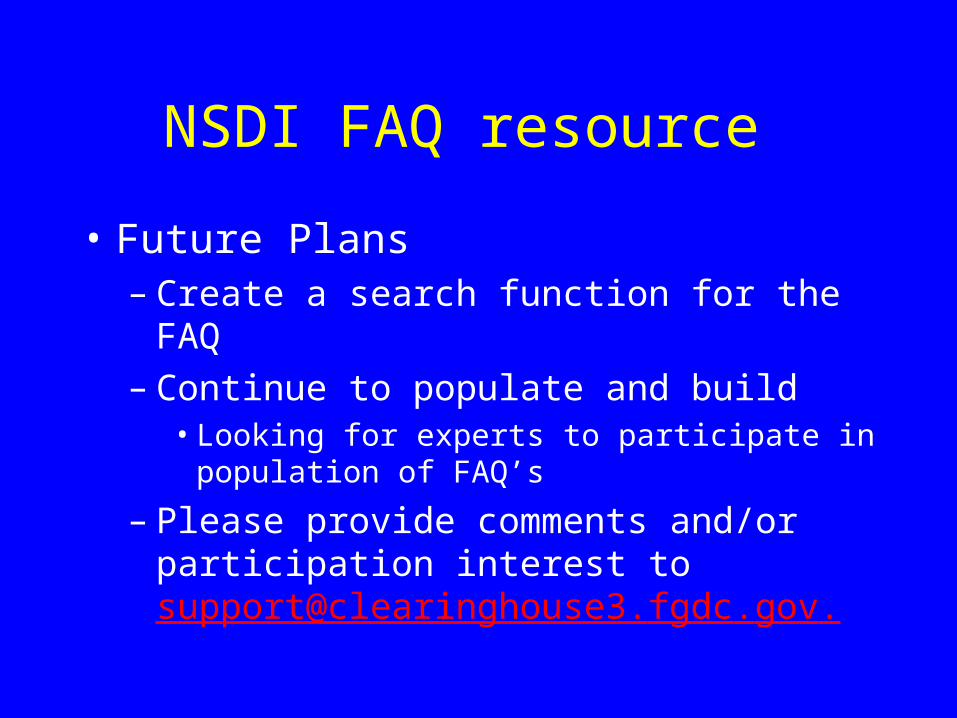
• Future Plans– Create a search function for the FAQ– Continue to populate and build
• Looking for experts to participate in population of FAQ’s
– Please provide comments and/or participation interest to [email protected].

CAP Grants information
• FY 2001 CAP Coop Agreements are being issued
• “Don’t Duck Metadata”, US-Canada Framework, Metadata Trainer, Partnership, and Web Mapping award categories
• Period of performance, starts soon, lasts for 12 months.

Standards Activities
• ISO Metadata Update
• OpenGIS specification status
• Clearinghouse and OGC “Catalog Services”
ISO Metadata 19115
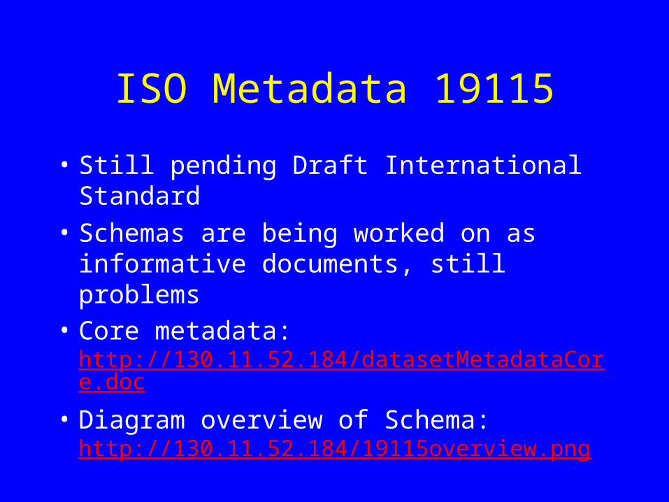
• Still pending Draft International Standard
• Schemas are being worked on as informative documents, still problems
• Core metadata: http://130.11.52.184/datasetMetadataCore.doc
• Diagram overview of Schema: http://130.11.52.184/19115overview.png

OpenGIS Consortium (OGC) Specs
• Web Mapping Service (WMS) 1.0 defines request, response, and query of data as maps
• Geography Markup Language (GML) 2.0 is issued as an Implementation Specification, defining XML structures for vector Features used by Web Feature Service (WFS)
• Gazetteer and Thesaurus have been issued as Discussion Papers
• OGC website: http://www.opengis.org

OGC Catalog Services
• Catalog Services were made a specification in 1999 by the OGC to facilitate discovery of spatial data and services within a community
• General model designed using the best features of Z39.50
• CORBA and WWW (Z39.50) Profiles demonstrated
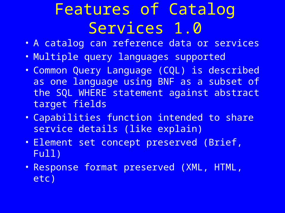
Features of Catalog Services 1.0
• A catalog can reference data or services• Multiple query languages supported• Common Query Language (CQL) is described as
one language using BNF as a subset of the SQL WHERE statement against abstract target fields
• Capabilities function intended to share service details (like explain)
• Element set concept preserved (Brief, Full)• Response format preserved (XML, HTML, etc)
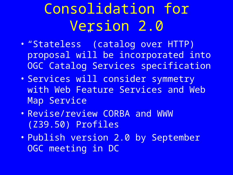
Consolidation for Version 2.0
• “Stateless” (catalog over HTTP) proposal will be incorporated into OGC Catalog Services specification
• Services will consider symmetry with Web Feature Services and Web Map Service
• Revise/review CORBA and WWW (Z39.50) Profiles
• Publish version 2.0 by September OGC meeting in DC
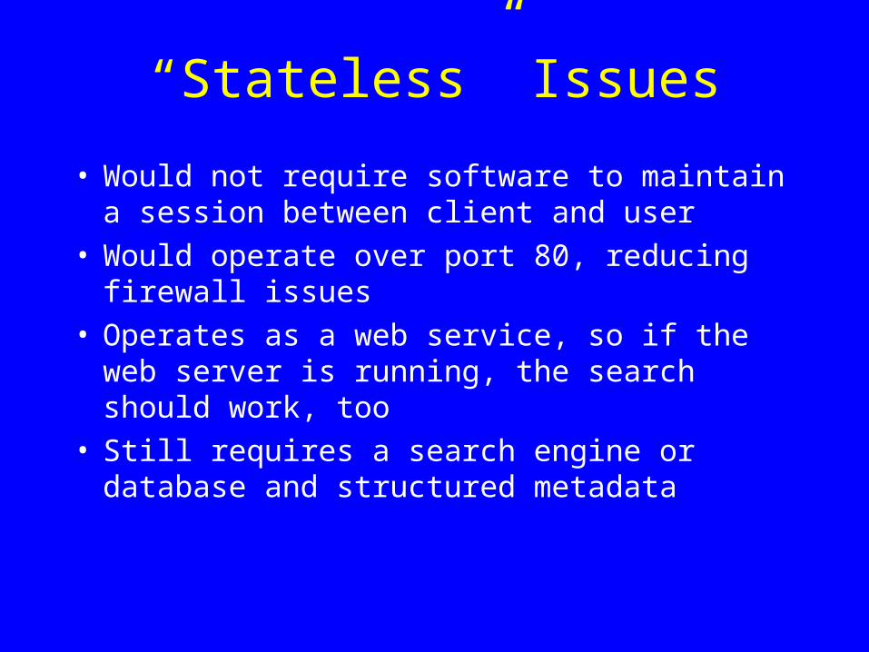
“Stateless” Issues
• Would not require software to maintain a session between client and user
• Would operate over port 80, reducing firewall issues
• Operates as a web service, so if the web server is running, the search should work, too
• Still requires a search engine or database and structured metadata

nativeclient
protocolserver
catalogAPI
Current CatalogsCurrent Catalogs
Z39.50 orCORBAprotocol
This model applies for both the current Z39.50 and CORBA implementations
Send query
Get response
Return metadata
Request metadata

Webclient
otherclient
WebServer
WebCGI
catalogAPI
Send query
parser(mp) Return metadata
Stateless CatalogsStateless Catalogs
HTTPPOST
Z39.50 Service would be replaced by similarfunctionality hosted as a Web Service over port 80

Stateless Catalogs
Webclient
XMLclient
WebServer
SOAPlistener
catalogAPI
Send XML
XSLTReturn Full XML
SOAP is a platform-independent style of CGI handler that dispatches programs to compile a response. Isite will be renovated to include a SOAP interface for local http-based query to replace Isearch.cgi
HTTPPOST

Data and Service Catalogs• ISO TC 211 Metadata Standard 19115(DIS)
specifies data access handles and services metadata
• Both service and data metadata should use linkages to exploit associations and minimize redundancy of information storage
• EO/GEO approach provides a growing foundation of data descriptions that can point at formal service bindings
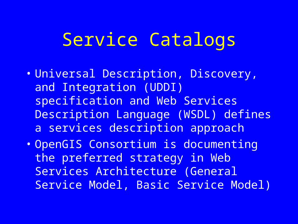
Service Catalogs
• Universal Description, Discovery, and Integration (UDDI) specification and Web Services Description Language (WSDL) defines a services description approach
• OpenGIS Consortium is documenting the preferred strategy in Web Services Architecture (General Service Model, Basic Service Model)
OGC Network• OGC-N Project this year will establish
baseline infrastructure for discovering and testing OGC-compliant services
• Desire establishment of reference implementation software clients and servers for community use in “compatibility testing”
• Will include a discovery portal of OGC community data/services providers
• Contact Jeff Harrison [email protected] for more info on sponsorship

FGDC Deployment
• 12 sites will collaborate with FGDC in implementing catalog services for data and services to be deployed operationally within OGC Network
• Services will include data catalogs, a common service registry, Web Mapping Services, and possibly Web Feature Services
• Timeline: July 2001 – June 2002
Other Business
• Should we schedule a 3-day NSDI Workshop later this year? Yes!– Topics to cover: metadata, clearinghouse, web
mapping, framework integration– Volunteers: need trainers, presenters, logistics support– Intended audience and participants: technical– Facilities requirements: multiple rooms with networked
computers– Preferred locations: Denver or Phoenix– Preferred date: October 2001
• Next telecon– Date not scheduled. First week September planned.