Chesapeake Bay Hedonic Analysis
10
Chesapeake Bay Hedonic Analysis Patrick Walsh Charles Griffiths Dennis Guignet Heather Klemick David Simpson US EPA: National Center for Environmental Economics
description
Chesapeake Bay Hedonic Analysis. Patrick Walsh Charles Griffiths Dennis Guignet Heather Klemick David Simpson US EPA: National Center for Environmental Economics. Introduction. Property Values in the Chesapeake Bay Two main phases First phase: county level analysis in MD along the Bay - PowerPoint PPT Presentation
Transcript of Chesapeake Bay Hedonic Analysis
Chesapeake Bay Hedonic Analysis
Patrick WalshCharles GriffithsDennis Guignet
Heather KlemickDavid Simpson
US EPA: National Center for Environmental Economics

Introduction
• Property Values in the Chesapeake Bay– Two main phases
• First phase: county level analysis in MD along the Bay– Spatial Dependence– Multiple indicators of water quality– Two stage hedonic analysis
• Second phase: broader parts of MD, VA, DC, DE.– May eventually expend, depending on
data availability.
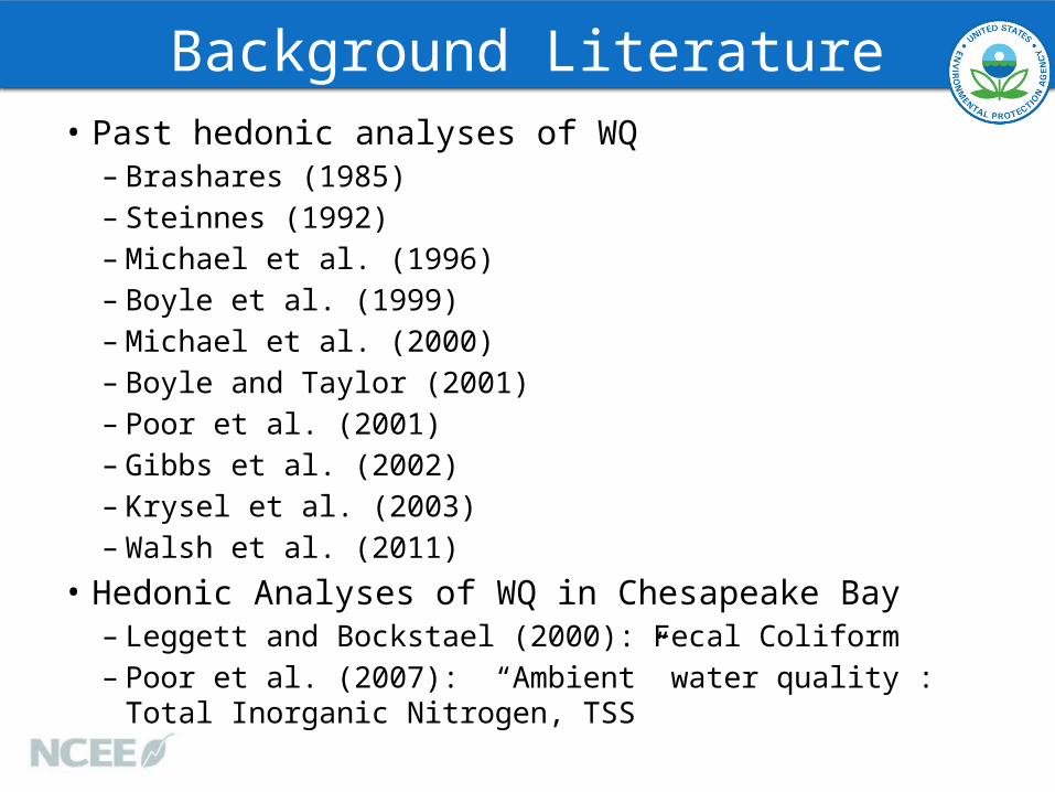
Background Literature• Past hedonic analyses of WQ
– Brashares (1985)– Steinnes (1992)– Michael et al. (1996)– Boyle et al. (1999)– Michael et al. (2000)– Boyle and Taylor (2001)– Poor et al. (2001)– Gibbs et al. (2002)– Krysel et al. (2003)– Walsh et al. (2011)
• Hedonic Analyses of WQ in Chesapeake Bay– Leggett and Bockstael (2000): Fecal Coliform– Poor et al. (2007): “Ambient” water quality : Total Inorganic Nitrogen,
TSS

Data
• Phase I: MD PropertyView– Full set of MD parcels– 1996-2011 property sales– GIS maps, Land Use Data
• Phase II: DE, DC, VA

Water Quality Data• Interpolated WQ data from Chesapeake
Bay Program Office– 1 km x 1 km cells
• Multiple Depths– TN, TP, TSS, Chl a, DO, Clarity
• Monitoring Stations– ~200 Stations throughout watershed
• Watershed Model– Reach-level: larger segments of
rivers/streams• Local Data
– Anne Arundel County Fecal Coliform, beach closures
– Montgomery County Tree Canopy• Link homes to nearest waterbodies via
GIS– Control for density of water nearby

Representing Water Quality• What endpoints do people care about?– Policy levers versus perceptions?• Objective versus subjective measures
• Temporal range of indicator– Annual value most common– Also, trends in WQ• Similar to Michael et al. (2000).
• Later link to survey data.– Ask about WQ perceptions

Methods• First stage – estimate implicit
prices, marginal willingness to pay
• Second Stage – use implicit prices to estimate demand function– Non-marginal benefits
• Spatial Econometrics to control for spatial dependence
• Double Counting

Benefits
• Projections– Future forecasts for
interpolated cells– Watershed model forecasts
(at a less granular level)• Use estimated demand
function to calculate benefits

Extensions• University of Vermont
detailed canopy analysis in Montgomery County– Increased tree planting as
part of TMDL• Pfisteria outbreaks– Several highly publicized cases• Algae blooms• Fish kills • Sickness from exposure

Thank You