Ch. 23 geography and climate
31
South Asia(India) Chapter 23 Geography and Climate Unit 8: Page 576 Maps: Pages 582, 584-586 Monsoons: Pages 586-587 Chapter 23: Pages 588-601
Transcript of Ch. 23 geography and climate

South Asia(India)Chapter 23
Geography and Climate
Unit 8: Page 576
Maps: Pages 582, 584-586
Monsoons: Pages 586-587
Chapter 23: Pages 588-601

Gondwanaland
• Himalayas and Hindu Kush created
• South Asia developed it own identity

Water Links to Other parts of the World
• Arabian Sea• Bay of Bengal• Indian Ocean

Indian Subcontinent, or South Asia
• India• Pakistan• Bangladesh• Nepal• Bhutan• Sri Lanka• The Maldives• Afghanistan

Northern Mountains
• World’s tallest mountains
• Himalayas • Hindu Kush• Mt. Everest• K2

Northern Mountains
• Mountain passes allow for traders to get through
• Khyber Pass
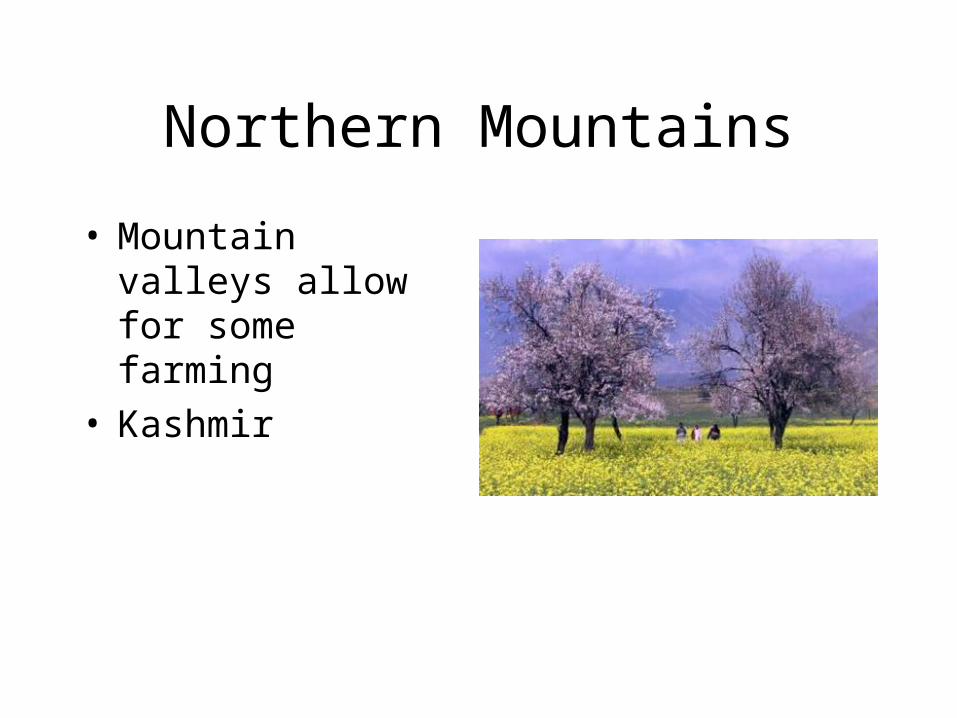
Northern Mountains
• Mountain valleys allow for some farming
• Kashmir

Northern Plains
• Indo-Gangetic plain• Fertile silt deposits• River water for
irrigation• Dense population

Northern Plains
• Indus River flows through Pakistan
• Earliest civilization in South Asia found here
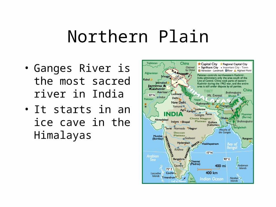
Northern Plain
• Ganges River is the most sacred river in India
• It starts in an ice cave in the Himalayas

Northern Plain
• Bramaputra is located in Bangladesh
• The delta region is subject to terrible flooding

Thar Desert
• 100,000 square miles
• The size of Colorado
• Nomadic herders raise sheep and goats
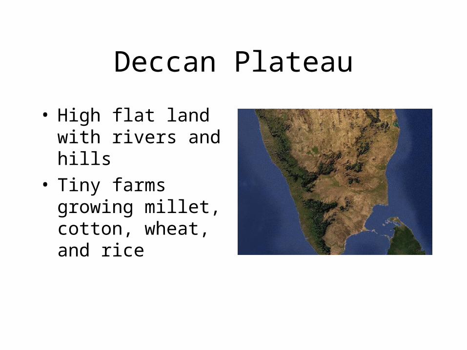
Deccan Plateau
• High flat land with rivers and hills
• Tiny farms growing millet, cotton, wheat, and rice

Vindhya Mountains
• Separate the deccan plateau from the Indo-Gangetec plain.
• Low but rugged• Agastya tamed
Vindhya, the spirit of the mountain
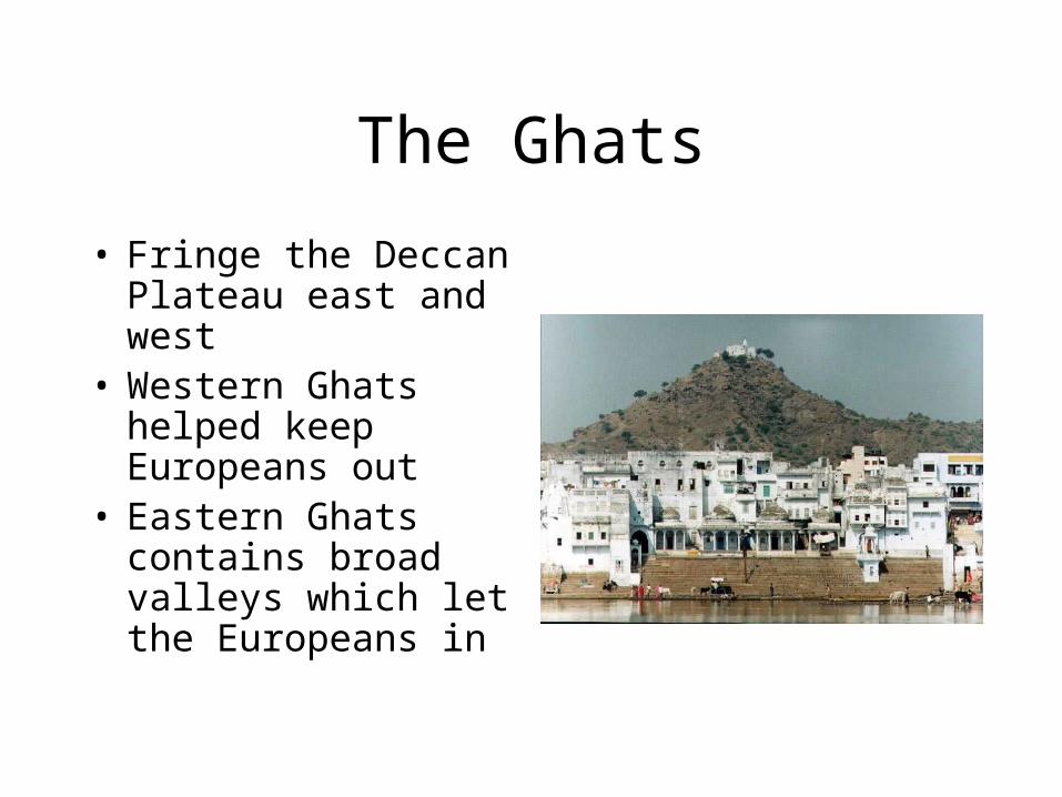
The Ghats
• Fringe the Deccan Plateau east and west
• Western Ghats helped keep Europeans out
• Eastern Ghats contains broad valleys which let the Europeans in

Monsoon
• A seasonal wind that dominates the climate of South Asia
• The most important weather prediction on earth
• Monsoon Cycle

Wet Monsoon
• Begins in May or June
• Blows north from the Indian Ocean
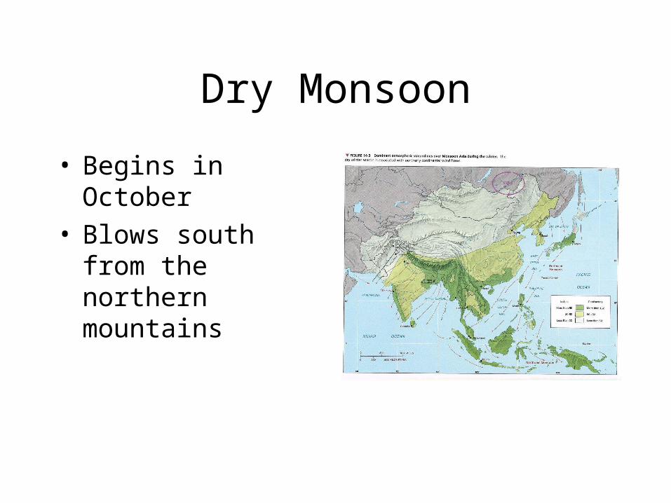
Dry Monsoon
• Begins in October• Blows south from
the northern mountains

Importance to farming
• If late, the seedlings will wither and die.
• If too much rain too soon the crops will be washed away.

Flooding and Storms in Bangladesh
• Delta formed by Ganges and Brahmaputra rivers
• 3 crops of rice per year
• Crowded and poor• Cyclones

Rainfall and Vegetation
• The monsoon affects South Asia unevenly
• Mountains cause more rain in the north
• Cherrapunji gets 425 inches/year

Rain Shadow
• The Ghats make the Deccan Plateau dry due to their high elevation

Temperatures vary greatly
• Northern mountains and Western Ghats are cold
• Much of the rest of South Asia is Tropical
• Madras is three months hot, 9 months hotter

Natural Resources
• The Indo-Gangetic plain has good soil

Some parts of South Asia have worn out soil
• Fertilizers are used• Irrigation from rivers
and wells• Farmers must dig
deep wells in the Deccan Plateau

Minerals
• Iron ore• Manganese• Bauxite• copper

Energy Resources
• Coal in the northern plain
• Limited oil has led to support for nuclear power

Peoples of South Asia
• 1.1 billion people• 1 out of every 5
people in the world lives in South Asia
• 75% are farmers• Most live in villages

People
• Great cultural diversity in food, dress, values, etc.
• Geographic features have separated people

Religions
• Hindus• Muslims• Christians• Sikhs• Buddhists

Languages
• India has more than 700 languages and dialects
• Hindi is the most widely spoken
• 15 official languages• English used due to
former colonization by Britain