BATH QUAYS WATERSIDE & RADIAL GATE...
13
BATH QUAYS WATERSIDE & RADIAL GATE STUDY Simon Martin 03/07/2014
Transcript of BATH QUAYS WATERSIDE & RADIAL GATE...
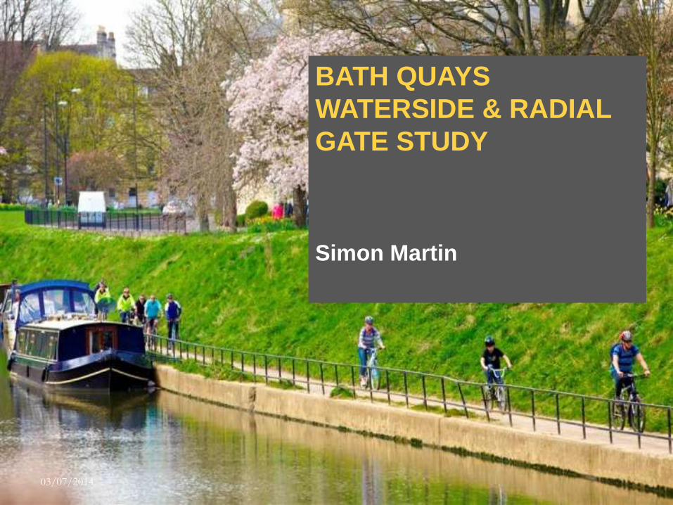
BATH QUAYS
WATERSIDE & RADIAL
GATE STUDY
Simon Martin
03/07/2014
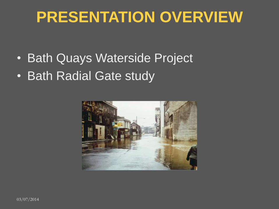
PRESENTATION OVERVIEW
• Bath Quays Waterside Project
• Bath Radial Gate study
03/07/2014

FLOOD RISK
a
03/07/2014

BATH QUAYS WATERSIDE
Flood Mitigation and Defences: Technical Advice • B&NES:
– Lead Local Flood Authority: manage flood risk from surface water and
groundwater – Response to Core Strategy and NPPF
• ENVIRONMENT AGENCY – The River Avon is a Main River under our
jurisdiction – reduce the risks to people, households and
businesses from flooding
• TOGETHER COMMISSIONED Black & Veatch report;
– Improve flood conveyance – Raise development sites so
minimum floor levels above:
- 1 in 100 years probability - +20% on peak flows for climate change – Additional flood defence
measures to existing properties
03/07/2014
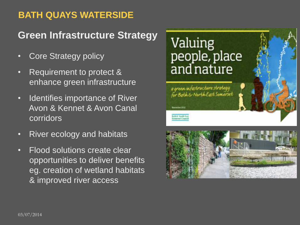
BATH QUAYS WATERSIDE
Green Infrastructure Strategy
• Core Strategy policy
• Requirement to protect &
enhance green infrastructure
• Identifies importance of River
Avon & Kennet & Avon Canal
corridors
• River ecology and habitats
• Flood solutions create clear
opportunities to deliver benefits
eg. creation of wetland habitats
& improved river access
03/07/2014
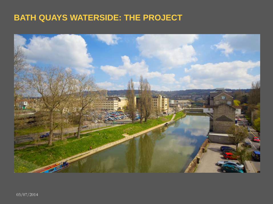
BATH QUAYS WATERSIDE: THE PROJECT
03/07/2014
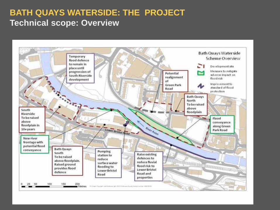
BATH QUAYS WATERSIDE: THE PROJECT
Technical scope: Overview
03/07/2014

BATH QUAYS WATERSIDE
Creative ambition
Themes & Objectives
Bath Quays Waterside:
• Successful relationship between city
and river
• Community focus: an amenity for all
• a defining feature and experience of
Bath Quays
• Urban strolling and promenading
• Cycling
• Year round use and reasons to dwell
• Playfulness 1-100 yrs
• Generate life: pop up uses (eg kiosks,
cafes, stalls)
• Public art – temporary and permanent -
and performance
• Secure navigation
• River uses and animation eg:
o Boat trips & races
o Temporary moorings
o Water sports
• Fuse hard quayside, urban/civic space
and soft green landscape
• ‘Meanwhile uses’ for disused part of
Green Park Road area eg pop-up
activities
• Exemplar for partnership working and
innovative engagement with
stakeholders, local people and schools
03/07/2014

BATH QUAYS WATERSIDE: THE PROJECT
Emerging Landscape Design
03/07/2014

BATH QUAYS WATERSIDE: THE PROJECT
Emerging Landscape Design
03/07/2014

BATH QUAYS WATERSIDE: THE PROJECT
Programme Milestones
PROJECT FEASIBILITY STAGE
Feasibility Reports July 2013
Development of Project Strategic Brief July 2013
Client Sign Off (Gateway 3) August 2013
PROJECT SCHEME DESIGN
Pre-Application Consultation September 2013
Scheme Design Freeze May 2014
Planning Application Submission June 2014
PROJECT DETAILED DESIGN
Detailed Design February 2014
Planning Determination June 2014
Other Stat Consents (HA, EA, CRT) June 2014
PROCUREMENT
Construction Package Contracts Award July 2014
CONSTRUCTION
Start on Site Sept 2014
Construction Complete Sept 2015 03/07/2014

RADIAL GATE & TWERTIN SLUICE OPTION STUDY
• Existing flood infrastructure (radial gate) is nearing end of life
• B&NES and Environment Agency will jointly commission an options appraisal
• Options to include; – Gate removal + realign river – Weir – Modify + extend horseshoe weir – Lock (navigable feature) – How energy generation can be enabled – lowering the river - impacts
• Results to inform the Strategic Rivers
Group, Enterprise Area Masterplan & flood management 03/07/2014

Enterprise Area Masterplan
03/07/2014