
ARCHITECTURAL SURVEY, INVENTORY, AND BEST PRACTICES
30
ARCHITECTURAL SURVEY, INVENTORY, AND BEST PRACTICES Jim Bertolini NVSHPO
Transcript of ARCHITECTURAL SURVEY, INVENTORY, AND BEST PRACTICES

ARCHITECTURAL SURVEY, INVENTORY, AND BEST PRACTICES Jim Bertolini NVSHPO

Survey & Inventory: Definitions
Survey – Documenting resources
Inventory – Documentation on known resources
**Survey builds an inventory**
Section 106 – Same methods, different structure
Usually the first step in successful NRHP / MPDF nominations

What is Survey?
Identifying and Evaluating
Resources
“Resource” is anything that can be listed in the National Register, and is usually over 50 years of age
Involves photography, site assessments, and archival research
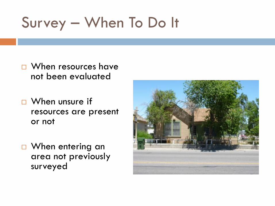
Survey – When To Do It
When resources have
not been evaluated
When unsure if resources are present or not
When entering an area not previously surveyed

What is Inventory?
The documentation
compiled on resources
Record of evolution of resource(s)
Critical for local governments to maintain for research, education, and regulatory purposes

Survey Plans as a Tool
A plan for future survey
or inventory
Prioritizes where to look and what projects to undertake
Road map for use of limited funds and staff time

Survey Planning: What to Consider
What resources are most important to your mission/community?
What does your public care about?
What is threatened?
What are your abilities?
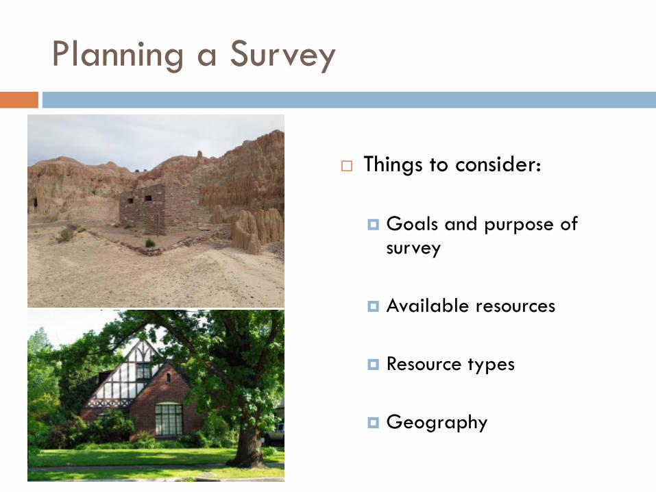
Planning a Survey
Things to consider:
Goals and purpose of
survey
Available resources
Resource types
Geography

Survey Project – Key Components
Before beginning, every survey project should:
Determine the purpose of the
survey (research questions)
Establish a justified boundary for project area
Conduct preliminary research about project area
Develop survey methodology

Levels of Survey
1. Windshield
2. Reconnaissance
3. Intensive
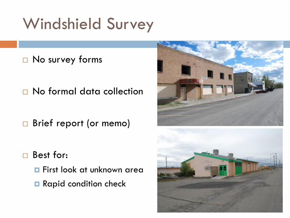
Windshield Survey
No survey forms
No formal data collection
Brief report (or memo)
Best for: First look at unknown area Rapid condition check

Reconnaissance Survey
Possible survey forms (not required)
Basic data collection
Formal report
Best for: First look before more staff time
and resources available District-level evaluations Evaluations of post-war housing
Can recommend future intensive
Watch out for
Criterion C!


Intensive Survey
SHPO or Agency Evaluation Forms
Detailed data collection
Formal report
Best for: Evaluations for individual eligibility Compliance survey HABS documentation (Level 1 only)
Avoid field judgments!

Intensive Evaluations
Every state/agency has different methodology
All intensive survey forms should include: Basic identification information
Description of resource
Evaluation of eligibility for NRHP
Map & location information
Shapefiles (optional but VERY helpful)
Don’t Forget
Districts!
Intensive Evaluation Terminology
“Eligible” = individually eligible for the NRHP
“Not Eligible” = not individually eligible for the NRHP
“Contributing / Non-contributing” – refers to a larger historic district
“Unevaluated”
Take 1 minute and write down up to 5 areas within your jurisdiction that might benefit from a targeted survey project.
Activity: Brainstorm Your History

Dealing with Survey Results
Data Collection
GIS
Story Maps Arches
Mapping / Cartography

Survey Reports
Must follow SOI Standards & Guidelines for: Identification Evaluation
Should always include:
Historic/architectural/archaeological context
Methodology for evaluation Findings/Results Recommendations

Architectural Classification
Style
Type
Vernacular


Style vs. Type
Common to exclude
building type
Many properties do not have a style but usually have a type

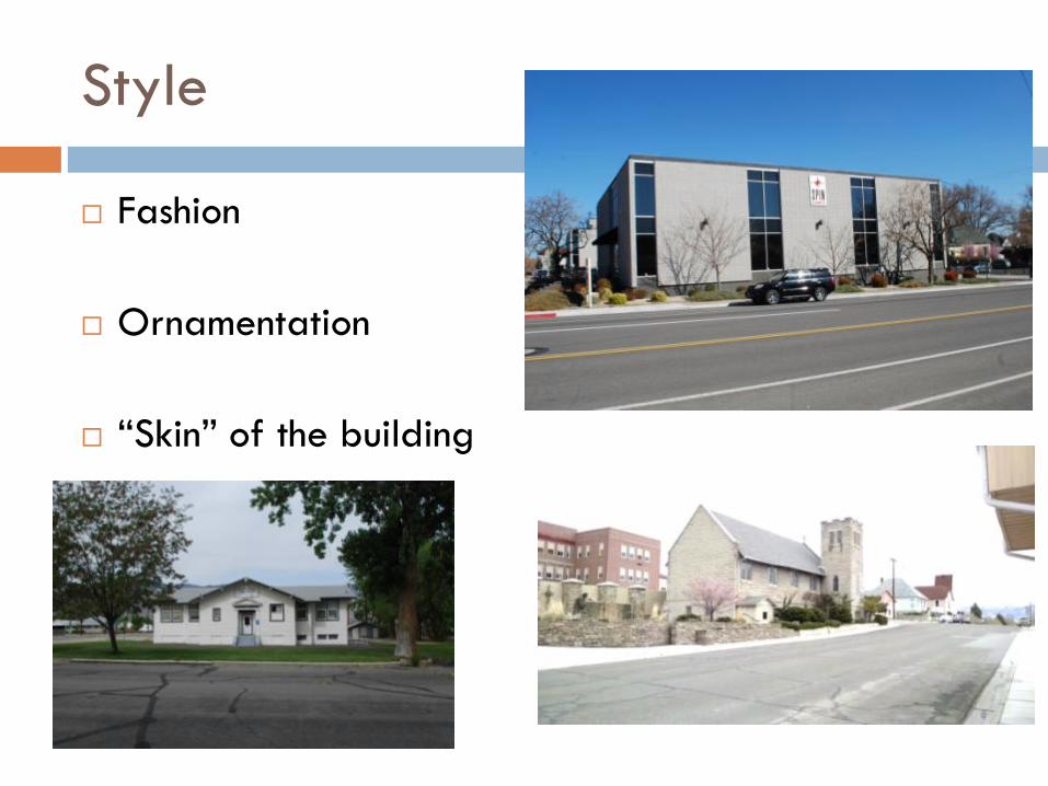
Style
Fashion
Ornamentation
“Skin” of the building

Type
Form
Floorplan
Roof Type

Vernacular Architecture
Combination of design, workmanship, and material features that are unique to a particular geographic area.
Influenced by environment and culture
Not a bucket for resources without style

In Defense of Good Data
Incomplete or unclear survey forms
No or vague justification for eligibility
No maps/shapefiles or vague maps
Poor descriptions of character-defining features
Confuses/fails to help future researchers
Slows down resource mgmt./planning process
Slows down data entry into databases
Makes HTC projects difficult to manage
Makes local design review difficult to structure/manage
Common Data/Survey Problems Long-term Problems

Summary
Survey vs. Inventory
3 levels of Survey
Survey Planning
Architectural Classification