
About skobbler - Kommission Angewandte Kartographie. Vortrag... · 4 The skobbler Market...
36
1 Crowdsourcing high-quality maps Philipp Kandal / @apphil 9 th May 2012
Transcript of About skobbler - Kommission Angewandte Kartographie. Vortrag... · 4 The skobbler Market...

1
Crowdsourcing high-quality maps Philipp Kandal / @apphil 9th May 2012

2
About skobbler

3
skobbler is all about Maps!
Creative Commons Attribution-ShareAlike 2.0 licence (CC-BY-SA).

4
The skobbler Market Performance.
skobbler has been a resounding success with over 2 Mio. Customers on OpenStreetMap data!
Top selling paid iPhone constantly in the Top 10
Top grossing iPhone app in Germany constantly in the Top 5
One of the the 10 most successful paid iPhone apps in Germany in
2009,2010,2011
One of the the 10 most successful
2 years+ top selling iPhone navigation app in Germany since
its market launch

5
Why de we need open maps?

Maps are at the core of all mobile location based services but insanely expensive
6 $8.1bn
$4.3bn
$500m+

7
OSM goal: Democratize maps and make them freely usable and adaptable for everybody

8 8
Customized routing for groups which traditionally can not navigate (well) with commercial maps
Wheelchair Bicycle 88
Pedestrian
9 9
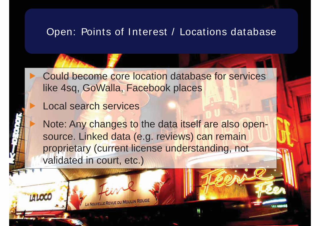
Open: Points of Interest / Locations database
Could become core location database for services like 4sq, GoWalla, Facebook places
Local search services
Note: Any changes to the data itself are also open-source. Linked data (e.g. reviews) can remain proprietary (current license understanding, not validated in court, etc.)

10
OpenStreetMap in a Nutshell
11
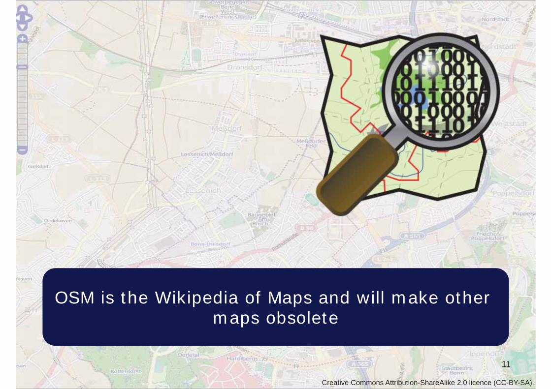
OSM is the Wikipedia of Maps and will make other maps obsolete
Creative Commons Attribution-ShareAlike 2.0 licence (CC-BY-SA).

OSM shows impressive growth
12
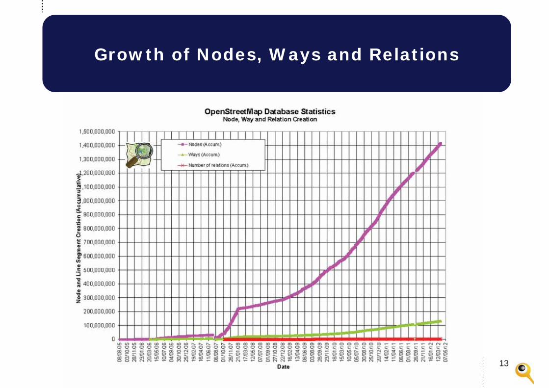
Growth of Nodes, Ways and Relations
13

14 14http://vimeo.com/itoworld

15 15http://vimeo.com/itoworld

OSM is fully flexible and not a hierarchical map. Anybody can map anything
16
Streets Locations 16
Public transport
Creative Commons Attribution-ShareAlike 2.0 licence (CC-BY-SA).
17
Key benefits and risks of OpenStreetMap

18
The map is free
- No license costs - Usage in all formats
mobile / web / automotive, etc.
- Proprietary tech can be used (not data!)

19
The map is very feature rich
Creative Commons Attribution-ShareAlike 2.0 licence (CC-BY-SA).

20
OSM is flexible – it was never targeted for only one single use-case
- Tag based structure vs. hierarchy based
- Full OpenSource tool chain available
- Advantage and issue at the same time

21
Maps are fully customizable to the extreme

Creative Commons Attribution-ShareAlike 2.0 license (CC-BY-SA).
Map data can be mixed (e.g. with NASA elevation data)

23 23
Technical challenges – OSM maps come without formal QA
Build an extensive AutoQA center (e.g. route length, turn restrictions, etc.)
Cross check data with e.g. FCD probes
Fix common tagging issues

24 24
Legal risks
OSM community watches carefully over Copy-and-Paste from other maps
Nobody can guarantee that it’s free of copyrighted data
Mixing your data in makes it OpenSource as well
OSM data can have significant issues (e.g. broken highways) which for navigation could cause safety issues (theoretical risk)

25
Key components for OSM success
26
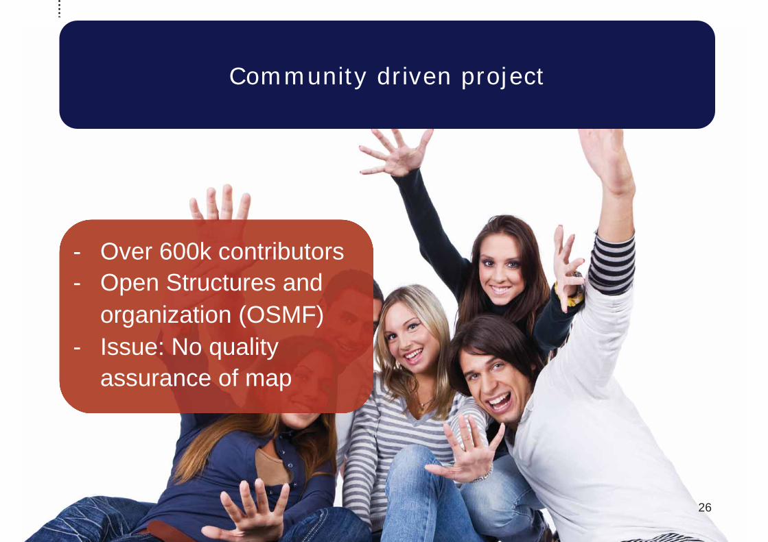
Community driven project
- Over 600k contributors - Open Structures and
organization (OSMF) - Issue: No quality
assurance of map

27 27
Viral nature of license
Data is under a GPL like license (CC-BY-SA / ODBL) which enforces further sharing of derived data
Commercial usage is allowed in any form as long as the data is kept free and open

28 28
Good tool chain to edit maps comfortably
JOSM: Great Java tool to edit maps
Potlatch: Web based default editor within the openstreetmap.org site
Lots of special case editors (e.g. for POIs, etc.)

29
What’s next

MapDust: Crowd based map error reporting
Creative Commons Attribution-ShareAlike 2.0 licence (CC-BY-SA).

31 31
Enhancing the map with Floating car data
Use a “Waze” like approach to collect floating car data probes to enhance the map
Detect things like “movement speed” and turn restrictions based on driving patterns

32 32
In-Door Maps
Provide detail floor level guidance
Map exits and entrances to the buildings
Map connections within the building

33 33
3D buildings
The visual quality of the map is enhanced a lot by adding realistic buildings / landmarks to the map
Can be used as orientation on the mobile device

34 34
Public Transport
Live transit information is not openly available at the moment
Information is key for further innovation in navigation / map space
Licensing the data is very expensive and cumbersome

Good further readings on OpenStreetMap
Abalakov’s thoughts on OSM: www.abalakov.com
OpenGeoData Blog: http://opengeodata.org/
OpenStreetMap Mailing Lists: http://lists.openstreetmap.org
OSM Wiki: http://wiki.openstreetmap.org
MapQuest dev blog: http://devblog.mapquest.com

THANK YOU for your kind attention! Get in touch: Philipp Kandal, [email protected] Mobile: +49 172 4597015
Follow me on .com/apphil