


Languages
Pages
Legal


United KingdomStatistics and Open Data: An Early Example
Neighbourhood Statistics Service
Dev Virdee

Government Statistical Service (GSS)
• Open Data and the GSS as a provider:– Statistician’s passion – data should be used, & used well– GSS has history of making data available through Data
Archive (anonymised)– Now provide data in many formats and to various types of
user– From full datasets for expert users to headlines for
citizens– Access in secure environments for academic researchers

Government Statistical Service (GSS)
• Open Data and the GSS as a user:– Statistician’s “dream” – access to multitude of data
sources for developing statistics and creating knowledge– Surveys, censuses, administrative data– Challenges – privacy, data protection, disclosure control– Creation of biases – possible behavioral changes when
data used for statistics and indicators– Metadata and statistical advice – what can and can’t we
do with certain datasets
Neighbourhood Statistics Website
• Early example of extensive use of administrative data for statistics:– Government recognised need for better information to inform
Neighbourhood Renewal– Created ethos of safely sharing data between departments and
Office for National Statistics (ONS)– Created common small area geography– Provided toolkits to suppliers for data geo-referencing,
aggregation, disclosure control, metadata and transfer of data– ONS hosts the Neighbourhood Statistics Service– Published small area data freely for the first time

Neighbourhood Statistics Website
• Part of National Statistics On-line• Freely available to anyone to use• Around 60 thousand visitors a month• Aims to cater for a range of requirements
and ‘abilities’*– mapping capability– time series capability– area profile developed

Range of data
• wide range of data…. relevance to regeneration
• variety of data suppliers (external and internal)
• all datasets are aggregate and disclosure protected

What does it offer the user ?
• Neighbourhood Profiles• Library of datasets to view or download• Pick and mix variables from different
datasets• Thematically map any data• Time series analysis• Create your own area

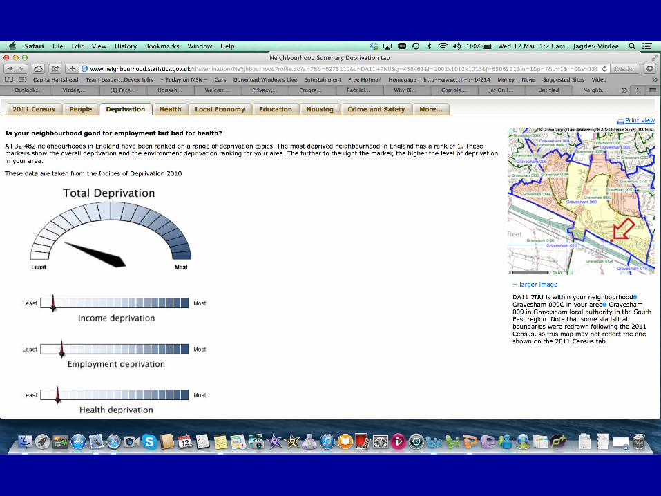
Neighbourhood Profile
• Enter a postcode or placename..
• Get a range of data for that area
• In a variety of visualisations.


Customised Tables, Charts & Maps
• Pick and mix variables from different datasets
• View data• Chart data• Thematically Map data• Time series• Create your own area

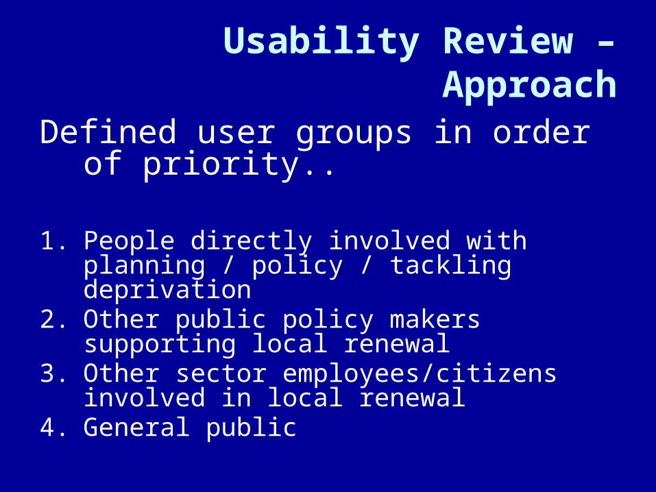
Usability Review – Approach
Defined user groups in order of priority..
1. People directly involved with planning / policy / tackling deprivation
2. Other public policy makers supporting local renewal
3. Other sector employees/citizens involved in local renewal
4. General public

Usability Review - Personas
A persona is a design tool:
• based on research: real-world observation
• a hypothetical, archetypal user character, defined in detail.
• they have names and faces. The whole team can picture them.
“The Neighbourhood Statistics Service will provide timely, relevant and comprehensive statistics, indicators and analyses to describe the characteristics of a neighbourhood consistently over space and time”

We developed 4 personas…
Nicola Michael Ian JulieResearch
OfficerRegeneration
Projects Manager
Local Authority
Data Intelligence Manager
Local Authority
Concerned Citizen
Local Area

User Centred Design – using personas
• Understand the ‘person’, their role and their organisation
• What are their ‘end goals’ and ‘experience goals’
• Define user scenarios based on goals• Design an interaction based on those
goals• Primary persona, and then overlay• Test prototypes on real users


Key messages:
Statisticians are very well placed to:• Benefit from the open data agenda to produce
more and better statistics• Help others to do their jobs better with improved
statistics• Make their sources available safely for wider
benefit• Be the trusted and independant “honest broker”
Top Related