


Languages
Pages
Legal


Township and Range System in the U.S.
Fig. 1-4: Principal meridians and east-west baselines of the township system. Townships in northwest Mississippi and topographic map of the area.

Layers of a GIS
Fig. 1-5: A geographic information system (GIS) stores information about a location in several layers. Each layer represents a different category of information.

Place: Unique Location of a Feature

Place NamesToponym is the given name of a place
Types of ToponymsFor a personReligionLandscape/physical features
Names can changeCincinnati, OHTruth or Consequence

SitePhysical character of a place
Climate, water sources, topography, soil, vegetation, latitude, and elevation
Site factors have been essential in selecting locations for settlements
Humans can modify the characteristics of a site

Site: Lower Manhattan Island
Fig. 1-6: Site of lower Manhattan Island, New York City. There have been many changes to the area over the last 200 years.


SituationThe location of a place relative to other
places
Can help us find unfamiliar places
Helps us understand the importance of a location

Situation: Singapore
Fig. 1-7: Singapore is situated at a key location for international trade.
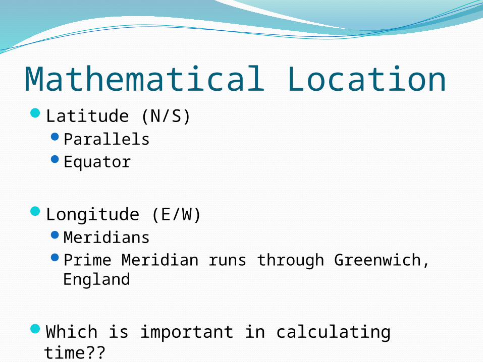
Mathematical LocationLatitude (N/S)
ParallelsEquator
Longitude (E/W)MeridiansPrime Meridian runs through Greenwich,
England
Which is important in calculating time??

World Geographic Grid
Fig. 1-8: The world geographic grid consists of meridians of longitude and parallels of latitude. The prime meridian (0º) passes through Greenwich, England.

World Time Zones
Fig. 1-9: The world’s 24 standard time zones are often depicted using the Mercator projection.
Top Related