


Languages
Pages
Legal

The Geo-WebThe Geo-Web
Enabling GIS on the InternetKeith T. Weber
GIS Training and Research CenterIdaho State University

2
In the BeginningIn the Beginning• GIS was independent• The GIS analyst or manager
was typically a one-person shop
• He/she created the data, analyzed the data, and printed the maps
Along Came the Internet
Along Came the Internet
3
• The proliferation of networks and the Internet caused a chain-reaction– GIS data was easy to
share– Increasingly larger
datasets were shared– GIS data was stored (self-
sharing) on the network

Old Habits are Hard to Break
Old Habits are Hard to Break
4
• Centralized GIS on the network– Clearinghouses– One-stop-shops
• Someone was in charge
But the One-Stop-Shop Broke
But the One-Stop-Shop Broke
• What now?• Re-invent the one-stop-shop
– There are now more than 100,000 GIS clearinghouses
– Each state, each large agency, each large company
– Why so many one-stops?• Data incompatibilities• Standards• Control issues
5
Control FallaciesControl Fallacies
• Protect trade secrets• Data security• Intellectual property
6
--FALSE--
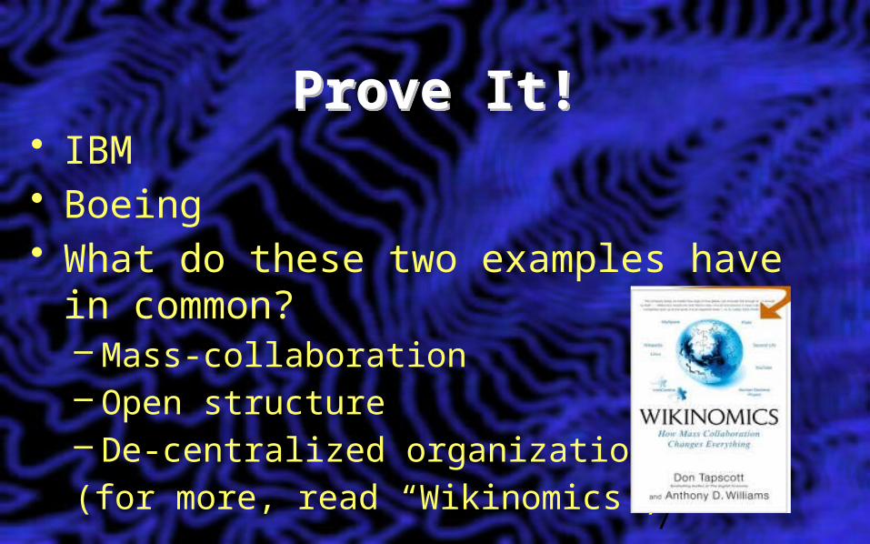
Prove It!Prove It!• IBM• Boeing• What do these two examples have in
common?– Mass-collaboration– Open structure– De-centralized organization(for more, read “Wikinomics”)
7

The Web 2.0The Web 2.0• The Next Generation
– All about mass collaboration– Mash-ups– Synergy– Distributed, de-centralized systems(for more, read “The Starfish and the Spider”)
8

Collaboration is New?Collaboration is New?• Traditional collaborations were:
– A selected team of colleagues– Hierarchical in structure– Breadth of knowledge relatively narrow
• Mass collaboration is:– An open set of contributors– De-centralized in structure– Breadth of knowledge can be extremely
broad9

Web 3.0Web 3.0
• Semantic web– coined by Tim Berners-Lee, the man who
invented the (first) World Wide Web. – Machines-readable Web pages (ArcGIS Open
Data)– Where search engines and software agents
can better troll the Net and find what we're looking for.
– Turns the Web into one big database

A Grand ExperimentA Grand Experiment
• Can Web 2.0 and 3.0 concepts be applied to GIS and spatial analysis… spatial problems?
• Can the GeoWeb be built and leveraged to provide real-time decision support?
• What is the role of GIS in the semantic web?

The Role of GISThe Role of GIS
• Collect spatial data• Prepare maps and models• Perform spatial analyses to discover trends,
spatial patterns, and relationships
12
The Role of GIS (cont’d)The Role of GIS (cont’d)
• Use ArcGIS Server and web services to make all these geo-spatial data available to everyone
• Help build the Geo-Web
13
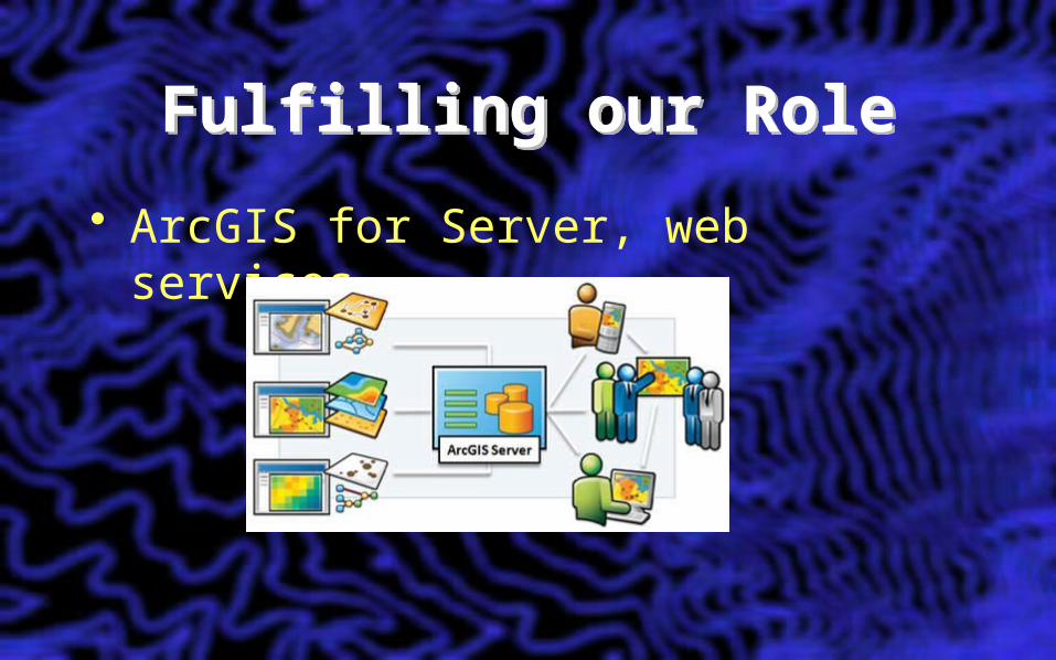
Fulfilling our RoleFulfilling our Role
• ArcGIS for Server, web services


ArcGIS ServerArcGIS Server
ArcGIS Server: Architecture
ArcGIS Server: Architecture
• Requirements:– Network connectivity– 64-bit Windows server OS– ArcGIS for Desktop– ArcGIS for Server

ArcGIS Server requires…
ArcGIS Server requires…
• Server– Sufficient hard drive space– Consider number of expected hits
when selecting CPU and cache
ArcGIS Server is…ArcGIS Server is…
• Scaleable• Flexible (variety of SDK’s [e.g.,
Flex and Java-based Web Map application builder])
• Easy for clients to use

• Image services• Geoprocessing services• Map services
– (ArcMap documents)• Geocoding services• Indexing and Search services• WMS Services• KML Services
ArcGIS Server can deliver…
ArcGIS Server can deliver…

Using a Mash-up of Services…
Using a Mash-up of Services…
• ArcGIS Server can deliver web map applications or web map services

The I-Plan storyThe I-Plan story• A collaboration among
– ITD– ISU’s GIS TReC– Bio-west– WebMap Solutions

Image ServicesImage ServicesBest Practices
• Serve either a single image file (e.g., GeoTIFF)
• Raster mosaic dataset w/i fGDB
Raster Mosaic DatasetsRaster Mosaic Datasets
• The best solution to serve raster data– Recall, ArcSDE is not a good solution
• Performance– Response– Cache size– Developing a map service from these
data

Process of creating an ArcGIS Web Map Services
Process of creating an ArcGIS Web Map Services
• Author a map– Using ArcMap
• Create your project’s ArcGIS Server Map Service(s)
• Create a Web Map Services

Making ConnectionsMaking Connections
• DEMO– Using web services in ArcMap– Connecting to the server (Fuji and
Etna)– Concurrent use notice
In IT4GIS…In IT4GIS…
• This exercise will give you experience with:– Image services– Map services– Web map services

Web 2.0 and 3.0 Revisited
Web 2.0 and 3.0 Revisited
• It should be clear how the GeoWeb fits and supports the concept of Web 2.0
• How does it support the semantic web? (Web 3.0)– Two minute write!
Key Concepts
Key Concepts
• GIS is everywhere• The Internet is a great way to deliver
GIS• Today –and in the future- web enabled
GIS will be increasingly important• Students need to know the
fundamentals of serving GIS data and services on the web and the practical application of this technology
Top Related