


Languages
Pages
Legal

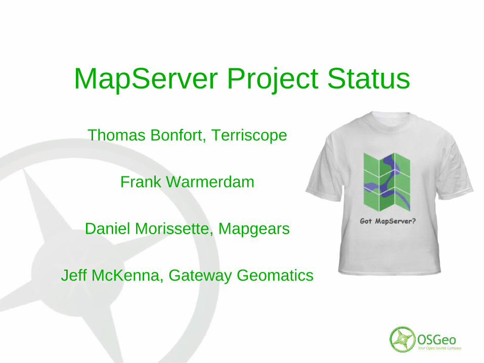
MapServer Project Status
Thomas Bonfort, Terriscope
Frank Warmerdam
Daniel Morissette, Mapgears
Jeff McKenna, Gateway Geomatics

MapServer Project Status
• Introductions• History• Statistics• Highlights of 2009-2010• How to contribute• Q & A

Jeff McKenna
• Documentation• MS4W Builds

Frank Warmerdam
• Raster formats (GDAL)• Vector formats (OGR)• OGC WCS• Reprojection (PROJ4)
Thomas Bonfort
• AGG Rendering• Vector Rendering• Dynamic Chart Symbols
Daniel Morissette
• OGC WMS support• PHP MapScript• OGR Support• Build System• Release Manager• ... and a bit of everything else...
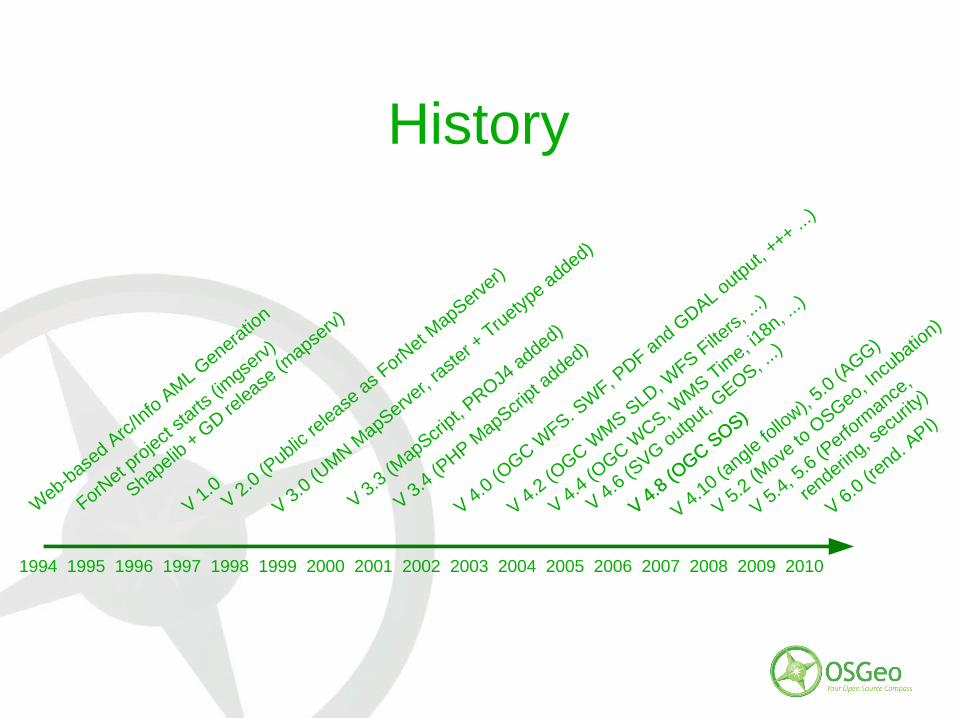
History
1994 1995 1996 1997 1998 1999 2000 2001 2002 2003 2004 2005 2006 2007 2008 2009 2010
ForNet p
roject
starts
(imgse
rv)
Shapelib + G
D release
(mapse
rv)
V 1.0V 2.0 (P
ublic re
lease as F
orNet M
apServer)
V 3.0 (UMN M
apServer,
raste
r + T
ruetyp
e added)
V 3.3 (MapScri
pt, PROJ4
added)
V 3.4 (PHP M
apScript a
dded)
V 4.0 (OGC W
FS. SW
F, PDF and G
DAL output, +++ ...
)
Web-b
ased A
rc/Info A
ML Genera
tion
V 4.2 (OGC W
MS SLD, W
FS Filte
rs, ...
)
V 4.4 (OGC W
CS, WMS T
ime, i1
8n, ...)
V 4.6 (SVG output, G
EOS, ...)
V 4.8 (OGC S
OS)
V 4.8 (OGC S
OS)
V 4.10 (angle fo
llow),
5.0 (AGG)
V 5.2 (Move
to O
SGeo, Incu
bation)
V 5.4, 5.6 (P
erform
ance,
renderin
g, secu
rity)
V 6.0 (rend. A
PI)
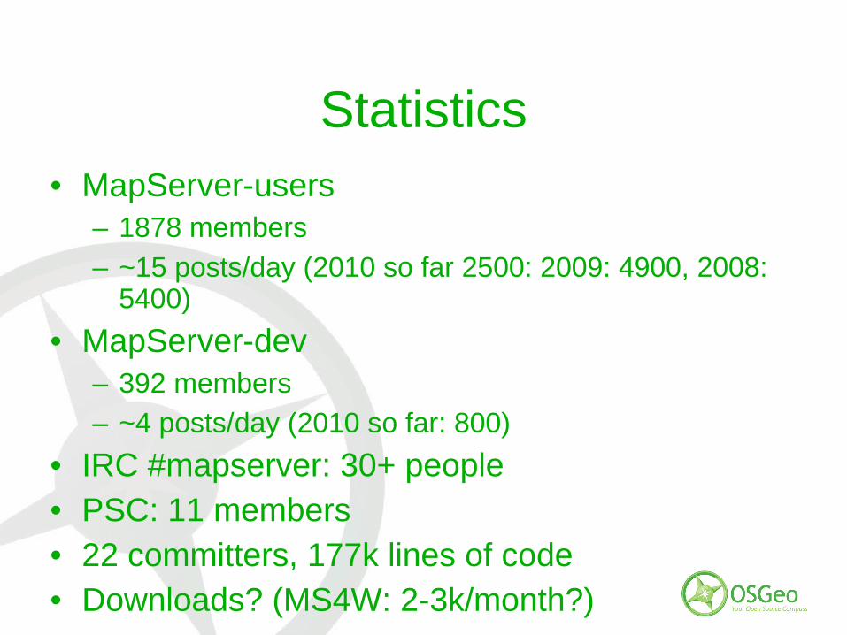
Statistics• MapServer-users
– 1878 members
– ~15 posts/day (2010 so far 2500: 2009: 4900, 2008: 5400)
• MapServer-dev– 392 members
– ~4 posts/day (2010 so far: 800)
• IRC #mapserver: 30+ people• PSC: 11 members• 22 committers, 177k lines of code• Downloads? (MS4W: 2-3k/month?)
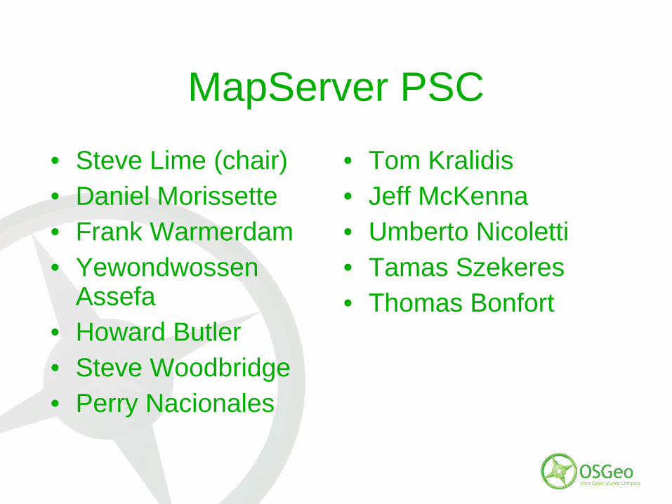
MapServer PSC
• Steve Lime (chair)• Daniel Morissette• Frank Warmerdam• Yewondwossen
Assefa• Howard Butler• Steve Woodbridge• Perry Nacionales
• Tom Kralidis• Jeff McKenna• Umberto Nicoletti• Tamas Szekeres• Thomas Bonfort
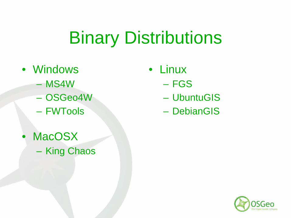
Binary Distributions
• Windows– MS4W
– OSGeo4W
– FWTools
• MacOSX– King Chaos
• Linux– FGS
– UbuntuGIS
– DebianGIS

Highlights of 2009-2010
• 5.6.x Releases• Code Sprints• 6.0 Release• WMS Performance Shoot-out
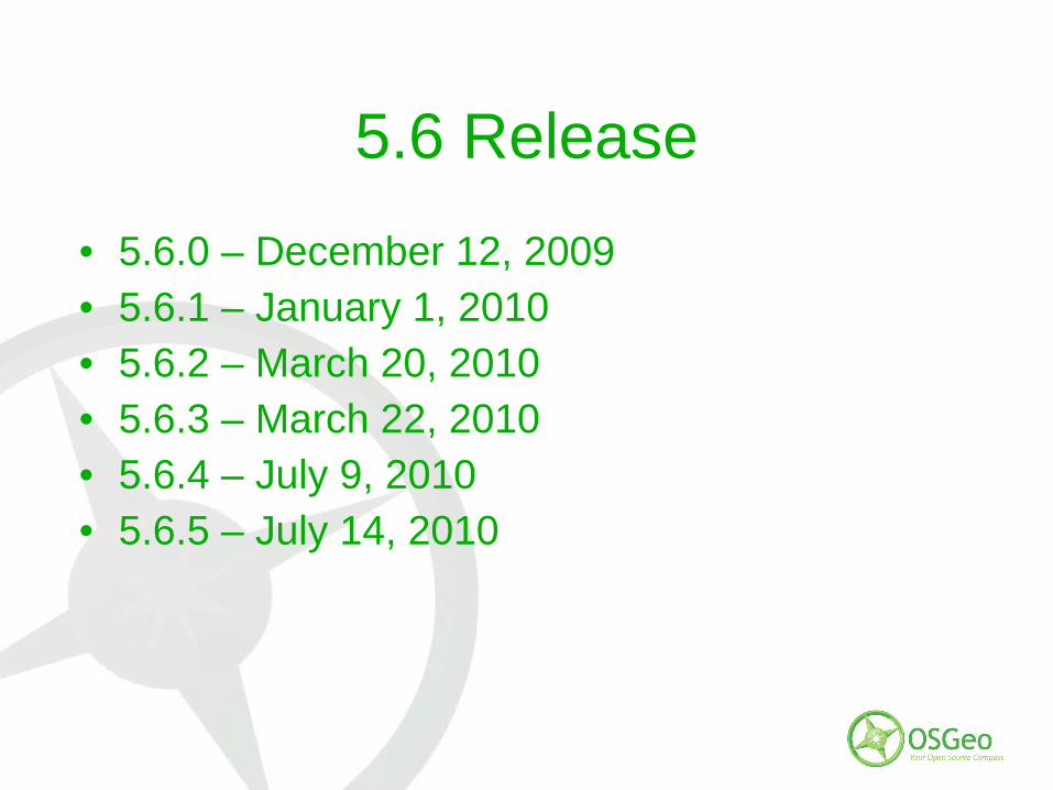
5.6 Release
• 5.6.0 – December 12, 2009• 5.6.1 – January 1, 2010• 5.6.2 – March 20, 2010• 5.6.3 – March 22, 2010• 5.6.4 – July 9, 2010• 5.6.5 – July 14, 2010
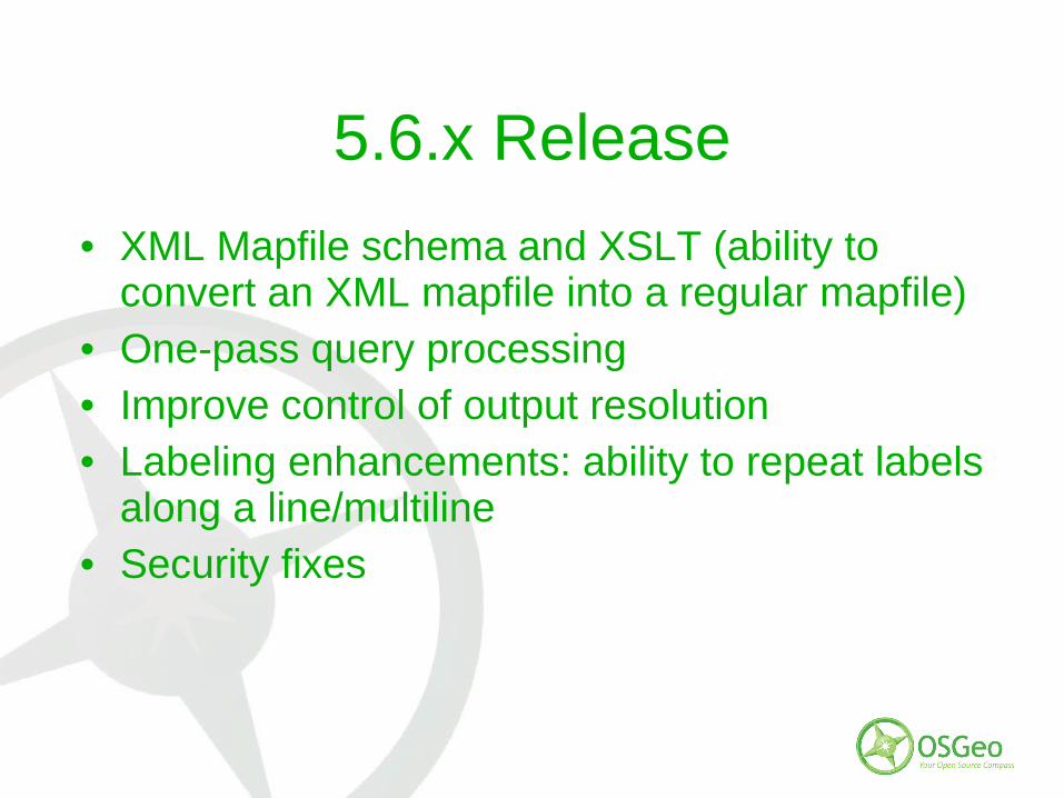
5.6.x Release
• XML Mapfile schema and XSLT (ability to convert an XML mapfile into a regular mapfile)
• One-pass query processing• Improve control of output resolution• Labeling enhancements: ability to repeat labels
along a line/multiline• Security fixes
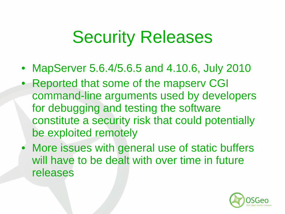
Security Releases
• MapServer 5.6.4/5.6.5 and 4.10.6, July 2010• Reported that some of the mapserv CGI
command-line arguments used by developers for debugging and testing the software constitute a security risk that could potentially be exploited remotely
• More issues with general use of static buffers will have to be dealt with over time in future releases

Code Sprints
• New York, February 2010– ~10 MapServer contributors
– Also GeoServer, PostGIS, OpenLayers, GeoMOOSE
– 6.0 release plan discussions

Code Sprints
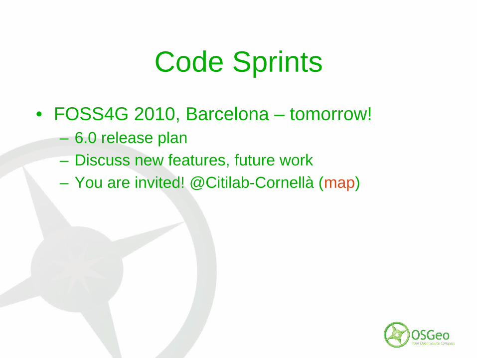
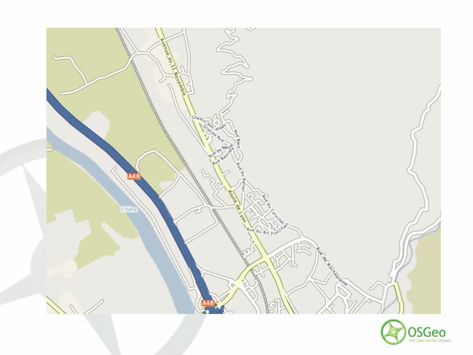
• FOSS4G 2010, Barcelona – tomorrow!– 6.0 release plan
– Discuss new features, future work
– You are invited! @Citilab-Cornellà (map)
Code Sprints
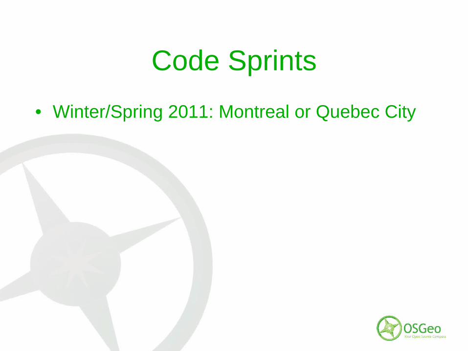
• Winter/Spring 2011: Montreal or Quebec City
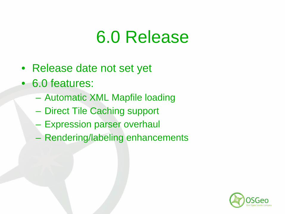
6.0 Release
• Release date not set yet• 6.0 features:
– Automatic XML Mapfile loading
– Direct Tile Caching support
– Expression parser overhaul
– Rendering/labeling enhancements
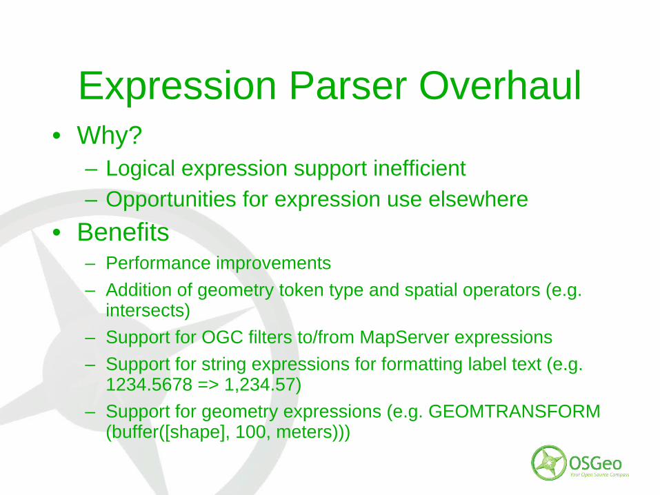
Expression Parser Overhaul• Why?
– Logical expression support inefficient
– Opportunities for expression use elsewhere
• Benefits– Performance improvements
– Addition of geometry token type and spatial operators (e.g. intersects)
– Support for OGC filters to/from MapServer expressions
– Support for string expressions for formatting label text (e.g. 1234.5678 => 1,234.57)
– Support for geometry expressions (e.g. GEOMTRANSFORM (buffer([shape], 100, meters)))
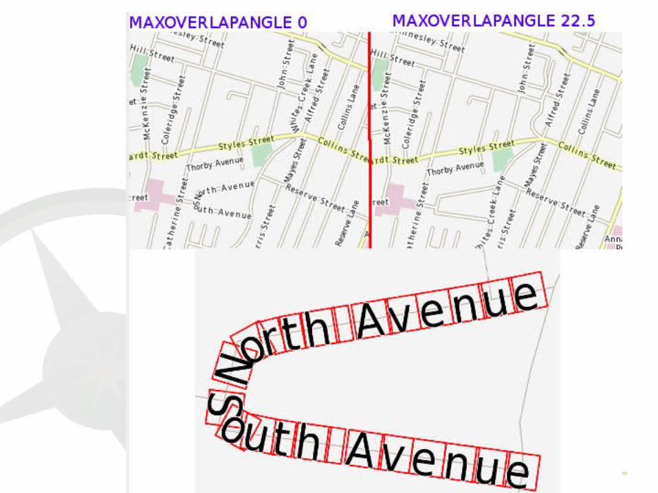
Rendering and Labeling Enhancements
• Deprecation of annotation layers replaced by style block inside label
• New Rendering API– Why? Mainly a source code maintenance issue to
facilitate long term maintenance and addition of new features
– Keep all output formats in synch feature-wise
– Improves SVG and PDF output through Cairo• e.g. WMS GetMap with FORMAT=PDF will work
– KML Output (SoC project)
Future Plans
• Named Styles and Labels• Integrated “stack”
– WFS-T (ZOO vs TinyOWS)
– Tile Caching
– mode=openlayers
– OGR Output Formats
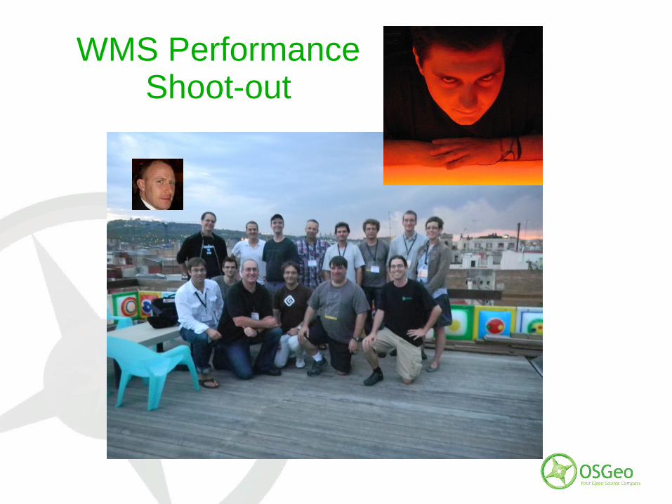
WMS PerformanceShoot-out
WMS Performance Shoot-out
• MapServer vs 7 other mapping engines• 4th edition of the exercise, held yesterday• More info at
http://wiki.osgeo.org/wiki/Benchmarking_2010• Highlights of improvements to MapServer:
– Large DBF support
– Improving labels on curved lines (RFC-60)
– Handling label precision


How to Contribute?
• Users:– Beta and release candidate testing
– Bug reports in Trac, including test cases
– Documentation (wiki, report issues in Trac)
– Answers on the mapserver-users list and IRC
• Developers:– Bug fixes/patches
– New features
– Binary builds

Questions - Discussion
Top Related