


Languages
Pages
Legal


Su
rve
yin
g-I
SURVEYING-I

Su
rve
yin
g-I
Traversing

Su
rve
yin
g-I
Introduction
• Prior to any field measurements, controlframework must first be established.
• Subsequent field measurements can then be takenin relation to this framework.
• Working from the whole to the part.

Su
rve
yin
g-I
What is a traverse?
• a kind of horizontal control framework.
• a method of determining the positions of a seriesof points by measuring the angles and distancesbetween them.

Su
rve
yin
g-I
Types of Control Station

Su
rve
yin
g-I
Traverse Control Sheet

Su
rve
yin
g-I
Closed Traverse - link traverse
Types of Traverses
• originates from one known survey station andterminates on another known station.

Su
rve
yin
g-I
Link Traverse

Su
rve
yin
g-I
Closed Traverse - closed-loop traverse
Types of Traverses
• A traverse closing back onto its starting station.

Su
rve
yin
g-I
Closed-loop Traverse

Su
rve
yin
g-I
Open Traverse
Types of Traverses
• do not close onto a known station
Sta. A
Sta. B
C
D
E

Su
rve
yin
g-I
Closed-loop Traverse
Control Station

Su
rve
yin
g-I
Comparison
Closed traverse:
• capable of being checked and adjusted to fit accurately between known points.
Open traverse:
• cannot be easily checked nor can it be properly adjusted.
•• should only be used in exceptional circumstances.should only be used in exceptional circumstances.

Su
rve
yin
g-I
• Closed-loop traverse
è Systematic error of distance measurement are not eliminated
A
D
D’ C’
B’B
C
Closed-loop or Link??

Su
rve
yin
g-I
Closed-loop or Link??
Closed traverse:
• orientation error would not be revealed in angular misclosure.

Su
rve
yin
g-I
Closed-loop or Link??
Link traverse:
• systematic error and orientation error are clearly revealed by the error vector.

Su
rve
yin
g-I
(a) Surveying Detail
• Traverse network can be accurately plotted on amap or plan.
• Positions of natural and artificial features arelocated relative to the network.
• These details can then be plotted in their properposition by reference to the plotted traversenetwork.
Purpose of Traversing

Su
rve
yin
g-I
(b) Setting Out
• Positions of new constructions , usually defined bywooden pegs, can be established by the surveyorbased on traverse control stations from informationsupplied by the designer, architect or engineer.
Purpose of Traversing

Su
rve
yin
g-I
(c) Monitoring
• Existing structures, that are within the vicinity ofongoing construction projects, may sometimes beaffected.
• To avoid the possibility of deformation, periodicalmonitoring, i.e. daily, weekly or monthly, must beperformed
Purpose of Traversing

Su
rve
yin
g-I
What are the three main purposes of traversing ??
(1) Surveying detail;
(2) Setting out ; and
(3) Monitoring survey
Purpose of Traversing

Su
rve
yin
g-I
• length and bearing of each line of the traverse mustbe measured.
(a) Length Measurement
• a variety of methods can be used depending on theaccuracy required and the purpose of the survey.
Measurements required

Su
rve
yin
g-I
• Methods of Length Measurement
• Direct linear measurement
• Catenary measurement
• Electro-magnetic distance measurement
• Tacheometric measurement
Measurements required

Su
rve
yin
g-I
(b) Bearing Measurement
• Compass observations
• Obtained from the angles measured using anoptical theodolite, a digital theodolite or a totalstation instrument
Measurements required

Su
rve
yin
g-I
Two field procedures are adopted to:
• facilitate the calculation of required bearings,
• reduce the possibility of observational and calculation errors.
Measurements required

Su
rve
yin
g-I
(1) 1st theodolite observation is always made to theback station and the next observation to thefore station.
• helps to prevent errors arising when decidingwhich angle has actually been measured.
Measurements of Angles
These two procedures are the following:

Su
rve
yin
g-I
(2) Angles are measured on both faces of thetheodolite and the results are meaned.
• eliminates instrumental errors and provides twomeasures of the angle, thus checking againstgross error in either measurement.
Measurements of Angles
Su
rve
yin
g-I
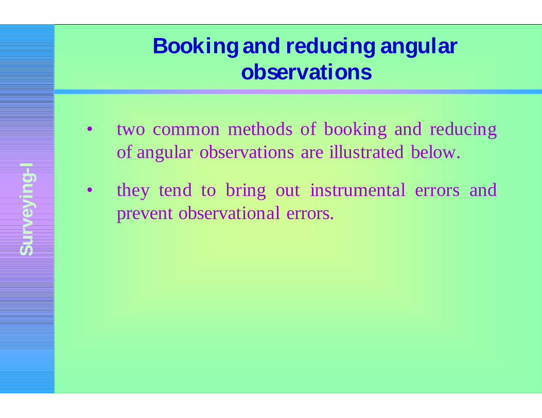
• two common methods of booking and reducingof angular observations are illustrated below.
• they tend to bring out instrumental errors andprevent observational errors.
Booking and reducing angular observations

Su
rve
yin
g-I
At Station ANail in wooden pegF.L B 0° 00’ 00”F.L. C 76 ° 28’ 20” 76 ° 28’ 20”F.R. C 256 ° 28’ 20” 76 ° 28’ 00” 76 ° 28’ 10”F.R. B 180 ° 00’ 20”
Booking and reducing angular observations
Method 1

Su
rve
yin
g-I
Inst. To F.L. F.R. Mean AngleA R.O. 0° 00’ 00” 180° 00’ 20” 10”
B 76° 28’ 20” 256° 28’ 20” 20” 76° 28’ 10”R.O. 0° 00’ 00” 180° 00’ 00” 00”
Booking and reducing angular observations
Method 2

Su
rve
yin
g-I
• graded into different classes or orders, depending on their accuracy
• Precise traverse (accuracy > )
• Ordinary traverse (accuracy £ )
1
10 000,
1
10 000,
Classes of Traverse

Su
rve
yin
g-I
Type ofTraverse
Numberof Arcs
Spread Type ofTheodolite
Max. angularMisclosure (“)
Linear Misclosure (in mm)
EDM Steel TapeMain 4 6” 1” direct 5 n 20 +
s
3010 +
s
20
Minor 2 10” 1” direct 10 n 10 + s
12
Title 1 or 2 20” 20” direct 20 n10 +
2
15
s
Detail 1 - 1” direct 40 n10 +
s
4
n = Number of station occupieds = Total distance of traverse (m)n = Number of station occupieds = Total distance of traverse (m)
Observing and Measuring Specifications for Traverse

Su
rve
yin
g-I
• angular and linear measurements are made withgreater refinement.
(a) Distance
• EDM, with direct correction to horizontal, arenormally used.
• tapes and bands are standardised; temperature andcorrections, such as tension, sag, are applied.
Precise Traverses

Su
rve
yin
g-I
(b) Angle
• 1” or 0.1” theodolite and the mean of several arcsor rounds of observations is taken.
• Accuracies ranges from 1/10 000 to over 1/100000
Precise Traverses

Su
rve
yin
g-I
• To supply precise control points for mapping inflat country where triangulation is unsuitable.
• To provide accurately positioned referencepoints for cadastral and engineering surveys.
• To provide data for engineering works wherehigh precision is a must, e.g. in tunnelling.
Usage of Precise Traverses

Su
rve
yin
g-I
• accuracy is less than 1/10 000
• taping corrections are not normally required.
• Distance : linen tapes, or stadia methods are useddepending on the purpose of the survey and theaccuracy required.
• Angle : 20” to 1’ theodolite are used.
Ordinary Traverses

Su
rve
yin
g-I
• Site surveys for architectural and engineering development. Accuracy is between 1/5000 and 1/10 000
• Topographical surveys for mapping or cadastral purposes. Accuracy is between 1/100 and 1/5 000
Usage of Ordinary Traverses

Su
rve
yin
g-I
• Exploratory or preliminary surveys in unmapped country.
• they are less frequently used today, but are sometimes necessary for calculating quotations for large engineering works in poorly mapped regions.
• Accuracy is between 1/50 and 1/500.
Usage of Ordinary Traverses

Su
rve
yin
g-I
• Optical or digital theodolite, or total station instrument.
• Target/reflector and tripod.
• Steel band 30m, 50m or 100m long for taping.
• Hammer, wooden pegs, nails, drill and paint for marking stations.
Equipment
For accuracy from 1/5 000 to 1/10 000:

Su
rve
yin
g-I
• Data logger or RAM card for digital theodolite or total station instrument.
• Field book and pencil for optical theodolite.
Equipment

Su
rve
yin
g-I
• vitally important part of any survey project.
• Purpose: decide the best location for the traverse stations.
• Stations should be intervisible for ease of traverse observations.
Reconnaissance

Su
rve
yin
g-I
• For topographic detail location, stations should be positioned:
• to afford best view of the terrain and
• to ensure maximum amount of detail can be surveyed from each station.
Reconnaissance (con’t)

Su
rve
yin
g-I
• For setting out engineering structures, station should be sited:
• to afford best positions for setting out and
• to provide accurate location.
• Distance between stations should be kept as long as possible to minimize the effect of centring errors.
Reconnaissance (con’t)

Su
rve
yin
g-I
• As cost is always important, ideally the scheme should be completed in the minimum of time, with the minimum of personnel.
• Type of survey station is governed by the purpose of the traverse.
Reconnaissance (con’t)

Su
rve
yin
g-I
• For quick, one-off survey of a small area, then wooden pegs about 0.25 m long and driven down to ground level may suffice. A fine point on the top of the peg defines the control point.
• For others, long-life stations are required to be constructed.
• On paved or black-topped surfaces, masonry nails may be used.
Reconnaissance (con’t)

Su
rve
yin
g-I
Thanks
Top Related