


Languages
Pages
Legal

ECOLOGICAL, HYDROLOGIC, AND ENGINEERING DESIGN PRINCIPLES FOR ACEP-WRE RESTORATION PROJECTS
Presented by: David L. Stites, Ph.D. April 15, 2016
Team: Scott Kuipers, NRCS, Tim Gysan, P.E. USACE, David L. Stites, Ph.D.; Steve Schropp, Ph.D.; Chris Ellis; Jennifer Sikes, P.E., Jennifer Klich, P.E.

Presentation Outline
2
1. Collaborative Restoration Design Approach
2. Ecological Restoration Design
3. Hydrologic Target Development
4. Multi-disciplinary Modeling and Reporting
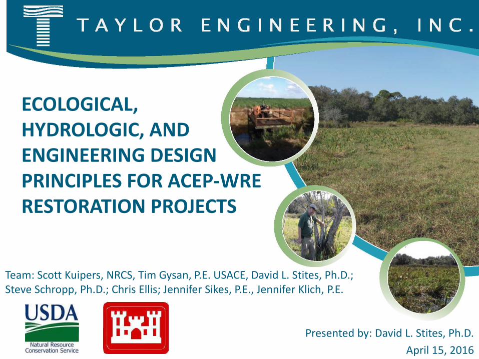
Restoration Design Approach
3
Estimate pre-development ecosystems conditions and communities (Ecology)
Define restoration concept alternatives (Ecology, Hydrology, and Civil Engineering)
Development H&H models to identify inundation elevation control levels for alternatives (Hydrology and Ecology)
Define, design minimum necessary hydrologic control and other structures to achieve targets (Hydrology and Engineering)

Restoration Design Approach (continued)
4
Define expected ecological outcomes (Ecology)
Select a preferred alternative (All disciplines, entire team)
Revise modeling to reflect selected design, revise ecological predictions (H&H)
Design Civil Structures (Engineering)

Bubba Mills Easement, Hendry County, Florida
5
2,914-acre easement south of Lake Okeechobee, FL
Western edge of the Everglades Agricultural Area
Three participating property owners
Lake Okeechobee

Historic Ecologic Conditions
6
\
Historic Conditions Sits on the Western
Flatwoods/Everglades region boundary, south of Lake Okeechobee
Part of a vast wetland system around Lake Okeechobee
Intermingled Wet Slough and Wet Prairie communities dominated the site
To the east, the Everglades Sawgrass Wetlands covered the landscape

By the 21st century, sugar cane production and cattle production share the well-drained property (363 acres wetlands remaining).
Development HistoryDevelopment began in the early 1950s with cattle grazing on partially drained wetlands.
2014
1957
7

1957
Live Oak Hammock

Pre-Development Target
9
Estimated Pre-Development Wetlands

Hydrologic Restoration Goals and Objectives
10
• Restore Sugar Cane and Pasture to natural vegetative communities
• Preserve any remnant natural communities
• Protect adjacent properties from additional flooding
• Maintain owner uses within program goals Site access Recreation Low-intensity cattle grazing(?)
Restore hydroperiods to pre-development conditions
(within practical limits)

Hydrologic Design Basis
11
Identify Natural Community Stage-Duration RangesWater Elevation Above (+) or Below (-) Ground
Natural Community Wet Season Dry Season Annual Average
Inundation Frequency
25/Freshwater Marsh and Ponds +12 to +24 in -12 in or lower -7 to +36 in
2 to 12
months
10/Wet Prairie ND1 ND -12 to -24 in0 to 6
months
12/Wetland Hardwood Hammocks (Hydric Hammock)
ND ND +6 to -30 in1 to 6
months
6/Mesic Hammock0 to a few
inches below surface
-39 in ND Rare
1ND = No hydrologic description
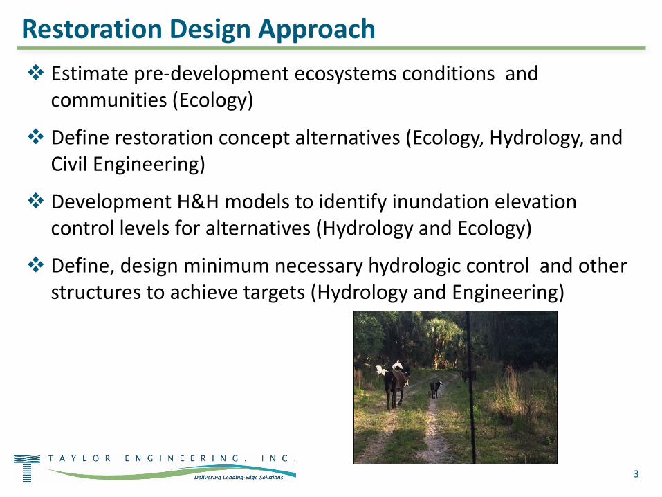
Hydrologic Modeling Strategies
12
Stage-Duration Target Development
• Live oak hammock association – most sensitive remnant community Slow-growing hardwood association Develops where water tables remain 1 – 3 feet+ below ground Tolerates only limited periods of root inundation (less than two
months)
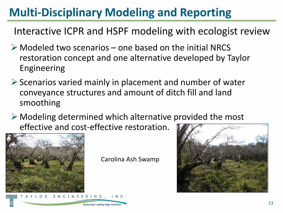
Multi-Disciplinary Modeling and Reporting
13
Interactive ICPR and HSPF modeling with ecologist reviewModeled two scenarios – one based on the initial NRCS
restoration concept and one alternative developed by Taylor Engineering
Scenarios varied mainly in placement and number of water conveyance structures and amount of ditch fill and land smoothing
Modeling determined which alternative provided the most effective and cost-effective restoration.
Carolina Ash Swamp

14
Selected Restoration Design (2-month flood depths)
Within flooding tolerance of live oak hammocks on western edge of easement
Provides hydrologic conditions for restoration of primary pre-development wetland communities
Below vacation cabin floor elevation

Historic and Restored Habitats
15
Selected Restoration Target Community Distribution
Wetland Community Size (acres)
Site Condition Marsh
Wet Prairie Swamp
Hydric/Mesic Hammock Total
Historic 1,500 1,300 45 2,845
Current 139 64 12 148 363Preferred
Alternative 539 2,084 97 2,747
About the same total wetland area as historic conditionMore wet prairie and less marshNo swamp predicted (but pop ash assemblages should do well)Restoration retains 167 acres of uplands – mesic hammock
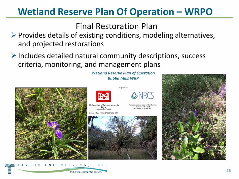
16
Final Restoration PlanProvides details of existing conditions, modeling alternatives,
and projected restorations Includes detailed natural community descriptions, success
criteria, monitoring, and management plans
Wetland Reserve Plan Of Operation – WRPO

17
Thank You!Questions ?
Top Related