


Languages
Pages
Legal

CONSTRUCTION TECH TRENDS:
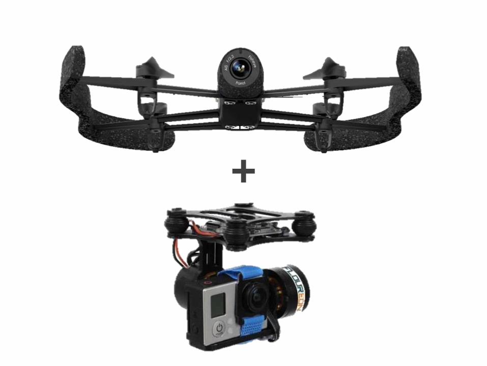
Drones & UAV’s
Drones & UAVs for on-site
photography and video
Drones and UAVs (unmanned aerial
vehicles) are making site photography in
remote areas easier than ever.
……………………………………………………
……………………………………………………
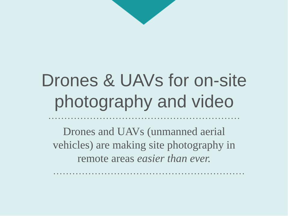
How would you
take this photo?
Site photography is used in three basic
situations:
1. Pre-construction for surveying of terrain,
environmental issues, etc.
2. Construction progress photography
3. Maintenance management
The Current State of Site
Photography

The options for high quality aerial images have
been historically expensive and cumbersome.
• Satellites
• Helicopters
• LiDar Maps
The Current State of Site
Photography
The photos are then
manually reviewed by field
engineers and compared
with separate models /
specifications

While helpful for the time being, field engineers
agree that these processes are:
• Highly subjective as they are based on one
field engineer’s judgment or experience
• Tedious as they require manual effort
• Difficult to scale, again, due to their manual
nature
How Current Photography is
Failing Us
+
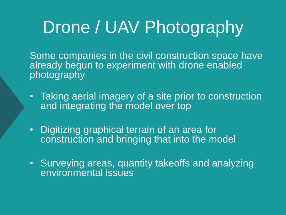
Drone / UAV Photography
Some companies in the civil construction space have already begun to experiment with drone enabled photography
• Taking aerial imagery of a site prior to construction and integrating the model over top
• Digitizing graphical terrain of an area for construction and bringing that into the model
• Surveying areas, quantity takeoffs and analyzing environmental issues
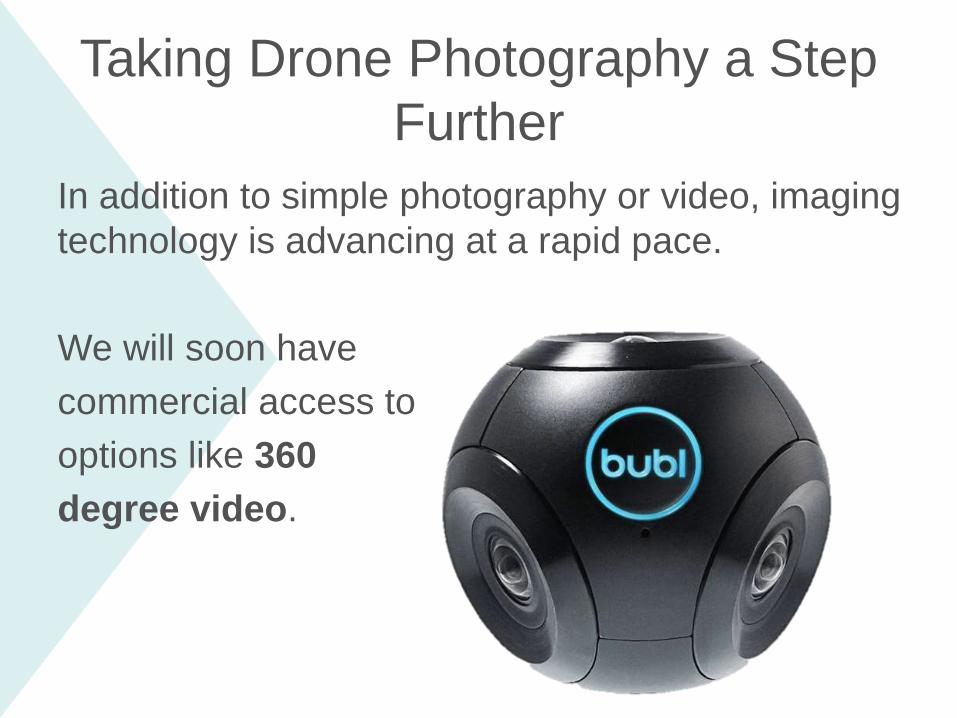
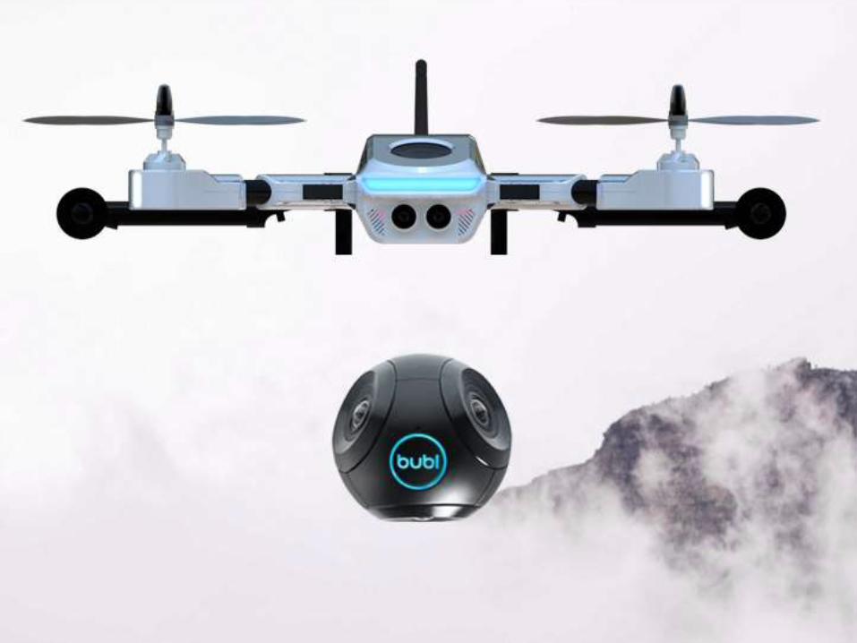
In addition to simple photography or video, imaging
technology is advancing at a rapid pace.
We will soon have
commercial access to
options like 360
degree video.
Taking Drone Photography a Step
Further
How would you
take this photo?

Yes, however the Canadian regulations regarding unmanned aerial vehicles are always changing. Transport Canada unveiled new guidelines in the Fall of 2014 which essentially say:
• Follow the rules set out in the Canadian Aviation Regulations
• Respect the Criminal Code as well as the federal, provincial and territorial laws related to trespassing and privacy
Are Drones / UAVs Legal?

Drones in Canada:
Where to Start?If you are interested in testing aerial video via drones on your next project, here are the initial steps to take:
1. Identify a project and contact Transport Canada to confirm aerial regulations in that area
2. Secure Transport Canada Insurance and Liability Insurance
3. Secure Transport Canada flight permit (currently 10+ week wait after insurance is purchased)
4. Determine if you are going to invest or outsource (recommendation is to outsource for initial trials)
5. Set goals for your first trial (what information do you 100% want to capture)
6. Examine footage and identify futureopportunities
Recommendations provided by:

Finally, some punch list therapy.
Use Closeout to easily manage your
punch lists in real-time from your mobile
phone or computer.
Watch the overview video or request a 1:1
demo to see how Closeout can give your
team some much deserved punch list
therapy.
Top Related