Working with an Atlas. Terms and definitions Contents- the first pages of an atlas where you can...
12
Working with an Atlas
-
Upload
cameron-melton -
Category
Documents
-
view
221 -
download
0
Transcript of Working with an Atlas. Terms and definitions Contents- the first pages of an atlas where you can...
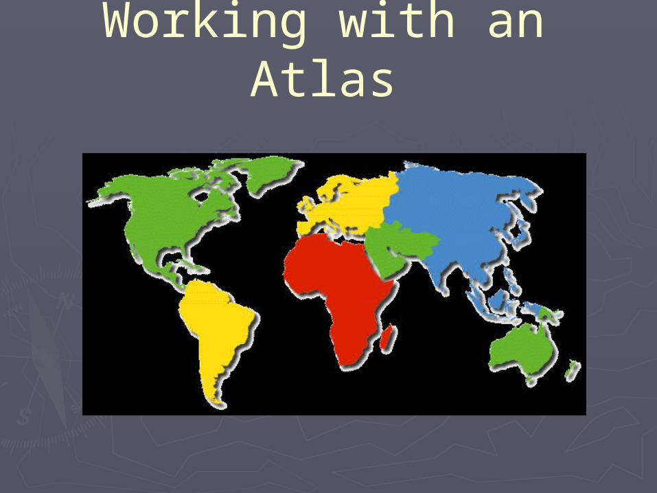
Working with an Atlas
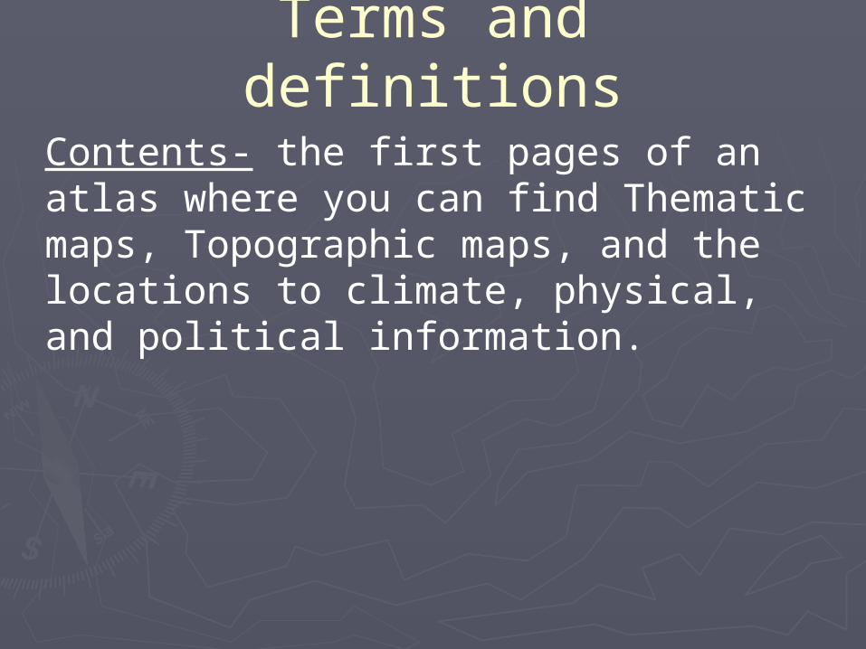
Terms and definitionsContents- the first pages of an atlas where you can find Thematic maps, Topographic maps, and the locations to climate, physical, and political information.
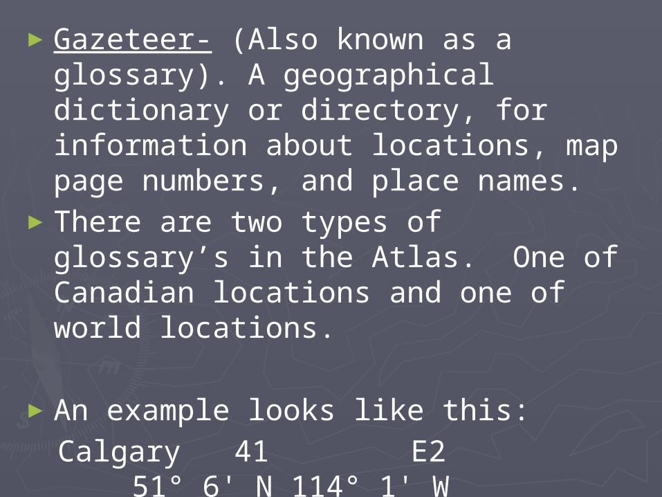
►Gazeteer- (Also known as a glossary). A geographical dictionary or directory, for information about locations, map page numbers, and place names.
►There are two types of glossary’s in the Atlas. One of Canadian locations and one of world locations.
►An example looks like this:Calgary 41 E2 51° 6' N 114°
1' W (place name) (pg #) (graphic location) (longitude and
latitude)
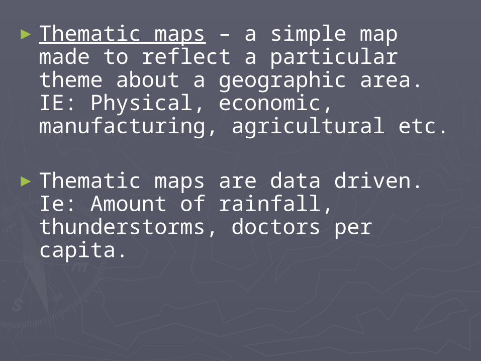
►Thematic maps – a simple map made to reflect a particular theme about a geographic area. IE: Physical, economic, manufacturing, agricultural etc.
►Thematic maps are data driven. Ie: Amount of rainfall, thunderstorms, doctors per capita.
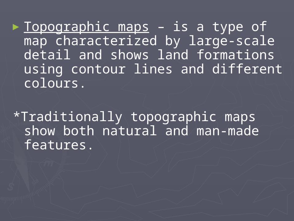
►Topographic maps – is a type of map characterized by large-scale detail and shows land formations using contour lines and different colours.
*Traditionally topographic maps show both natural and man-made features.
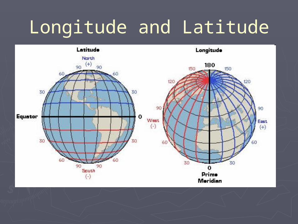
Longitude and Latitude
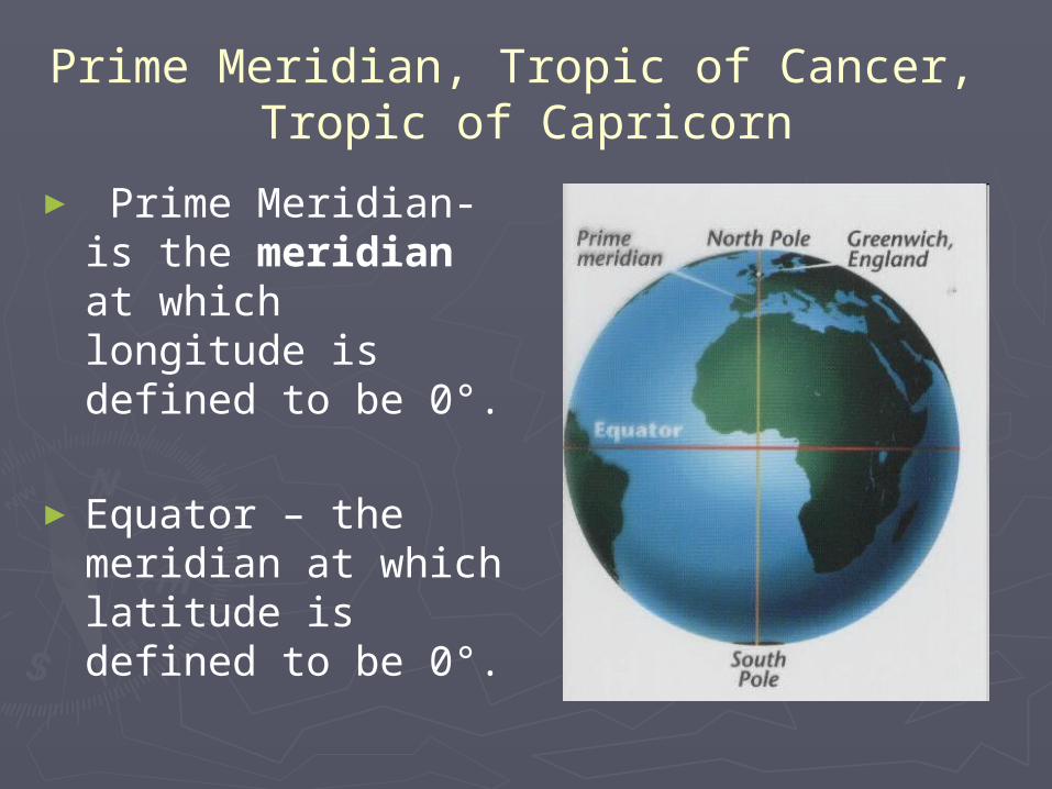
Prime Meridian, Tropic of Cancer, Tropic of Capricorn
► Prime Meridian-is the meridian at which longitude is defined to be 0°.
►Equator – the meridian at which latitude is defined to be 0°.
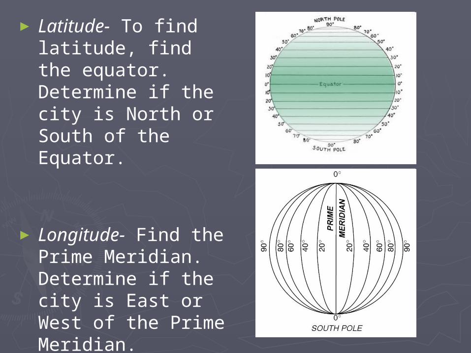
► Latitude- To find latitude, find the equator. Determine if the city is North or South of the Equator.
► Longitude- Find the Prime Meridian. Determine if the city is East or West of the Prime Meridian.
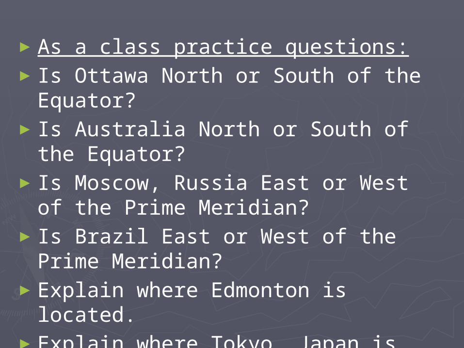
►As a class practice questions:►Is Ottawa North or South of the
Equator?►Is Australia North or South of the
Equator?►Is Moscow, Russia East or West of the
Prime Meridian?►Is Brazil East or West of the Prime
Meridian?►Explain where Edmonton is located.►Explain where Tokyo, Japan is located.
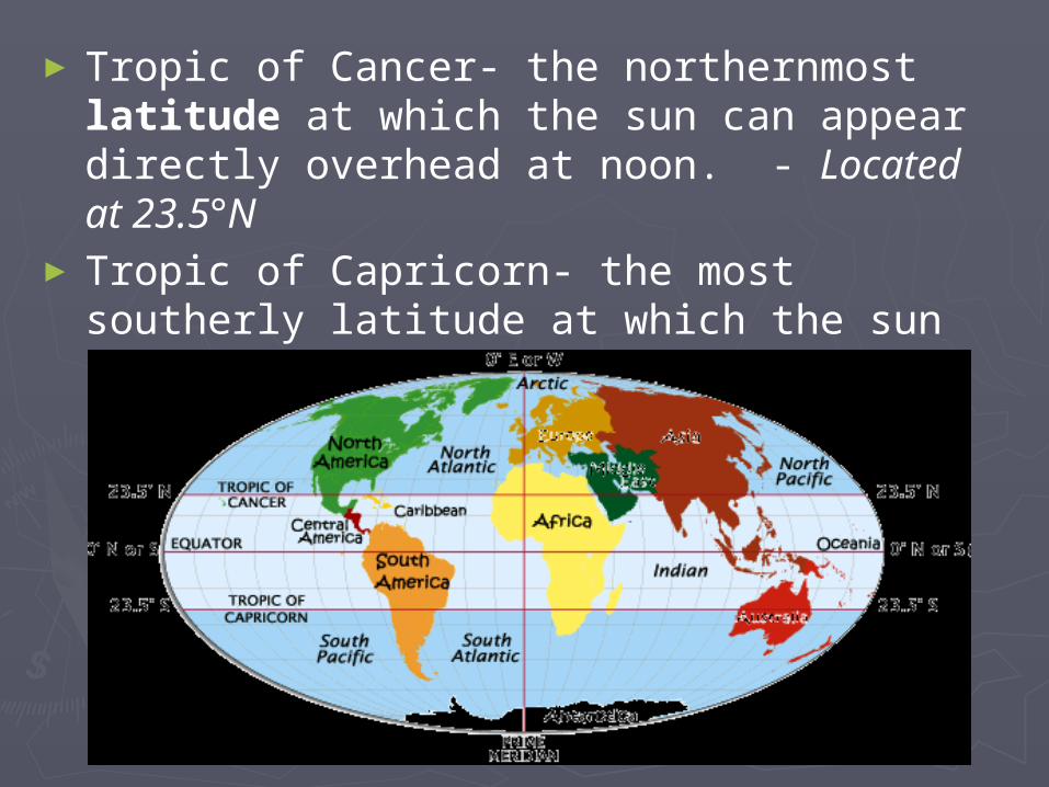
►Tropic of Cancer- the northernmost latitude at which the sun can appear directly overhead at noon. - Located at 23.5°N
►Tropic of Capricorn- the most southerly latitude at which the sun can appear directly overhead at noon. – Located at 23.5°S
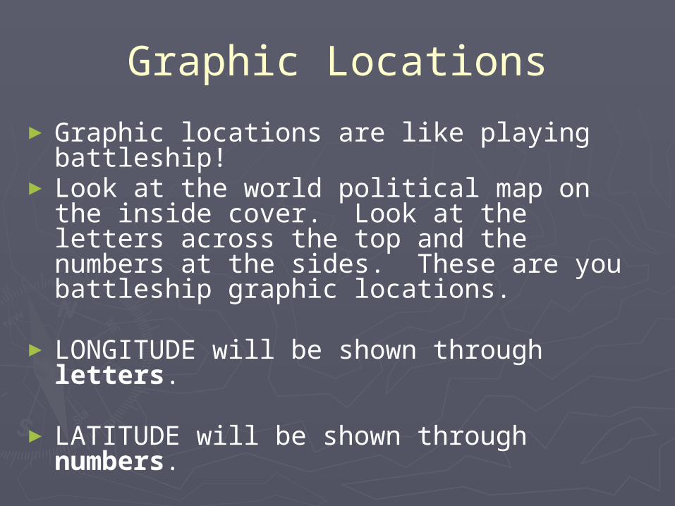
Graphic Locations
►Graphic locations are like playing battleship!
► Look at the world political map on the inside cover. Look at the letters across the top and the numbers at the sides. These are you battleship graphic locations.
► LONGITUDE will be shown through letters.
► LATITUDE will be shown through numbers.
►Example: Calgary, Alberta – Page 41 is located at E2.
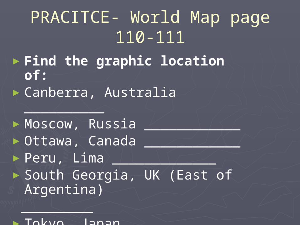
PRACITCE- World Map page 110-111
►Find the graphic location of:►Canberra, Australia __________►Moscow, Russia ____________►Ottawa, Canada ____________►Peru, Lima _____________►South Georgia, UK (East of
Argentina) _________►Tokyo, Japan ____________►Colombo, Sri Lanka ____________