Winter precipitation and snow water equivalent estimation and reconstruction for the...
28
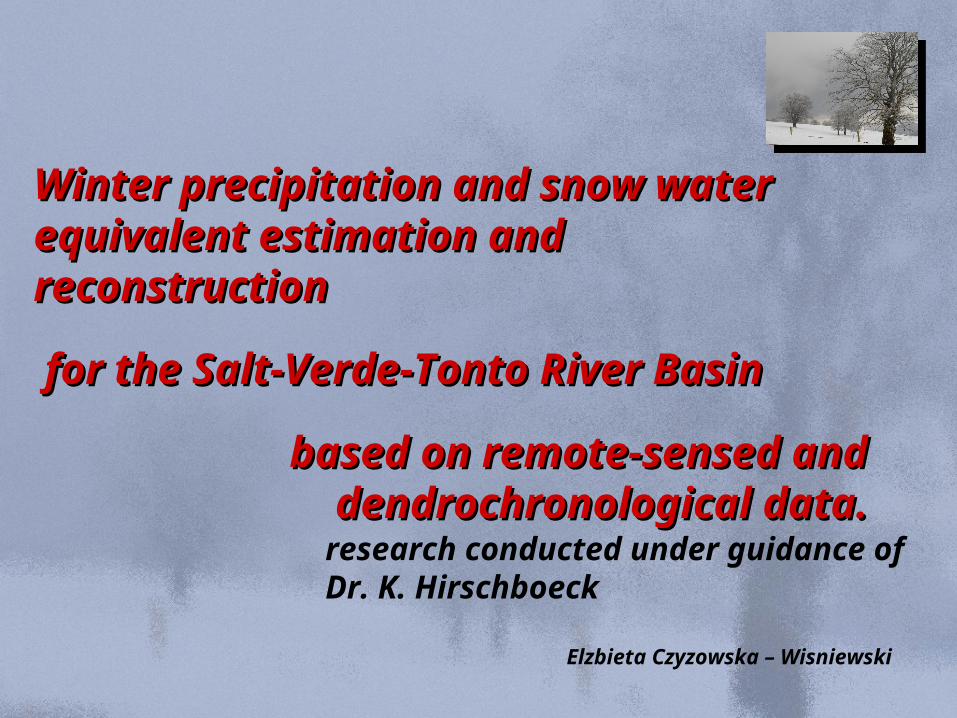
Winter precipitation and snow water Winter precipitation and snow water equivalent estimation and equivalent estimation and reconstruction reconstruction for the Salt-Verde-Tonto River Basin for the Salt-Verde-Tonto River Basin based on remote-sensed and based on remote-sensed and dendrochronological data. dendrochronological data. Elzbieta Czyzowska – Wisniewski research conducted under guidance of Dr. K. Hirschboeck
-
Upload
edwina-carr -
Category
Documents
-
view
218 -
download
2
Transcript of Winter precipitation and snow water equivalent estimation and reconstruction for the...
Winter precipitation and snow Winter precipitation and snow water equivalent estimation and water equivalent estimation and reconstructionreconstruction
for the Salt-Verde-Tonto River for the Salt-Verde-Tonto River BasinBasin
based on remote-sensed and based on remote-sensed and dendrochronological data.dendrochronological data.
Elzbieta Czyzowska – Wisniewski
research conducted under guidance ofDr. K. Hirschboeck

Why do we have to study winter precipitation Why do we have to study winter precipitation and snow cover in the Southwest USAand snow cover in the Southwest USA
- winter precipitation and snow cover supply - winter precipitation and snow cover supply up to up to 90%90% of annual precipitation; of annual precipitation;
- winter precipitation and snow cover - winter precipitation and snow cover is is very sensitive very sensitive to global climate change;to global climate change;
- estimation of - estimation of snow water equivalent (SWE)snow water equivalent (SWE) based based on on instrumental data – remote sensing data complement instrumental data – remote sensing data complement sparse ground datasparse ground data;;
- estimation of snow cover and SWE is needed for better - estimation of snow cover and SWE is needed for better understanding understanding of spatial and temporal variationof spatial and temporal variation of these elements of these elements
in the decadal and century time scales;in the decadal and century time scales;

Robinson D.A., 2004, Blended snow cover, Snow Cover Conference Proceedings
Seasonal and annual snow cover Seasonal and annual snow cover changes changes
in the Northern Hemisphere 1966 - in the Northern Hemisphere 1966 - 20042004

Monthly snow cover changes Monthly snow cover changes in the Northern Hemispherein the Northern Hemisphere
Robinson D.A., 2004, Blended snow cover, Snow Cover Conference Proceedings

Salt River Project – Salt River Project – main source of water supply for main source of water supply for
Phoenix Phoenix
SRP canalsSRP canals
Roosevelt Lake (June 2002)Roosevelt Lake (June 2002)
Roosevelt DamRoosevelt Dam

Phoenix – Phoenix – a few wordsa few words
- population – about - population – about 2 000 0002 000 000
- agriculture uses up to 90 - 95% of water
- 2- 2ndnd fastest growing town in the USA fastest growing town in the USA
- depletion of the ground water- depletion of the ground water
- 5 –10% other - 5 –10% other

Area of studies – the Salt River BasinArea of studies – the Salt River Basin
Landsat ETM+ (June – July 2002)
Tree-ring sites for Tree-ring sites for streamflow streamflow reconstructionsreconstructions
(Hirschboeck & Meko, 2004)

IIa. Comparison of fractional snow area distribution with snow maps produced by: MODIS NDSI;Landsat NDSI; NOAA; SNOTEL;
Ikonos
Landsat ETM+
snow
snow
MODIS Terra & AquaAster
snow
DEM
Fractional snow cover in mountain areas
IIIc. SWE at 1st April (1972 – 2007)
snow
IIb. Weekly and annual MODISfractional snow cover distribution;
19721980
snow2006
ModelsIIIa. Spatial and temporal changes of SWE based on MODIS fractional snow cover;
Model
19721980
snow2006
IV. Models: Tree – SWE ;Tree - Days with snow
ANN&
GIS
V. Reconstruction of SWE and snow days (1400 – 2007);
VI. Relations between snow cover and climatic forcing (1400 – 2007);
VII. Spatial and temporal distribution of snow cover and SWE as a direct record of climate changes with possibilities for future predictions ;
snow
I. Neural network based fractional snow cover estimator
Future plans: 2005 - 2008

Which trees can we use ?Which trees can we use ?
11) annual growth; annual ) annual growth; annual rings;rings;
2) sensitive // complacent trees;2) sensitive // complacent trees;
3) distinct rings;3) distinct rings;
4) strong common patterns 4) strong common patterns of properties such as ring of properties such as ring width;width;

Ikonos
Landsat TM/ETM+ classification map
snow
snow
MODIS Terra/Aqua
snow
10 m DEM
ModisFSC
snow
GIS
snow
ANN1
/ 4
/4
ANN2
A –LandsatFSC development B – ModisFSC development C – Verification
Ikonos classification map
30 m DEM
ANN1 training
ANN2training
LandsatFSC
snow
MODIS, Landsat NDSI
NOHRSC, SNOTEL
- panchromatic - visible - near infrared - shortwave infrared - thermalLegend:
ANN2
parameters
ANN1
parameters
Landsat and MODIS fractional snow cover

30 m
30 m
30 m
30 m
Ground Satellite
Remote sensing – introduction 1
30 m
30 m
30 m
30 m

30 m
30 m
30 m
30 m
Ground Satellite
Remote sensing – introduction 2

30 m
30 m
30 m
30 m
Ground Satellite
Present day snow classification
< snow > non snow
snow
non snow
nonsnow
snow
30 m
30 m52
52
bandTMbandTM
bandTMbandTMNDSI
52
52
bandTMbandTM
bandTMbandTMNDSI
Normalized Difference Snow IndexNormalized Difference Snow Index
Snow detection – current methods: NDSI

Snow cover Snow cover in remotely sensed imagesin remotely sensed images
52
52
bandTMbandTM
bandTMbandTMNDSI
52
52
bandTMbandTM
bandTMbandTMNDSI
64
64
bandMODISbandMODIS
bandMODISbandMODISNDSI
64
64
bandMODISbandMODIS
bandMODISbandMODISNDSI
Normalized Difference Snow IndexNormalized Difference Snow Index

MOD10A1: Daily Tile Snow MapMOD10A1: Daily Tile Snow Map
Hall D., 2004, Hall D., 2004, MODIS, snow products, MODIS, snow products, Snow Cover Conference Proceedings
Snow in northern Italy - March 29, 2002 Snow in northern Italy - March 29, 2002
MOD09 bands 1,4,3 (Surface Reflectance Product)MOD09 bands 1,4,3 (Surface Reflectance Product) MOD10A1 (Snow Daily Tile MOD10A1 (Snow Daily Tile Product)Product)

MOD10A2: MOD10A2: 8-day Composite Tile Snow 8-day Composite Tile Snow
MapMap
Hall D., 2004,Hall D., 2004, MODIS, snow products, MODIS, snow products, Snow Cover Conference Proceedings
Western North America - April 23, 2002Western North America - April 23, 2002
MOD09 bands 1,4,3 (Surface Reflectance Product)MOD09 bands 1,4,3 (Surface Reflectance Product)MOD10A2 (Snow 8-Day Tile Product)MOD10A2 (Snow 8-Day Tile Product)

2003 December 18th 2004 January 16th 2000 February 1st 2004 February 17th
2004 March 4th 2004 March 20th 2004 April 5th 2004 April 21st
Temporal changes of snow cover Temporal changes of snow cover distribution using MODIS (250 distribution using MODIS (250
m)m)

Snow cover detection – different spatial resolution
- Landsat: SST, TM & ETM+; - Landsat: SST, TM & ETM+; - spatial resolution: 30 m (15 m);- spatial resolution: 30 m (15 m); - temporal resolution: 16 days;- temporal resolution: 16 days;
- MODIS (Aqua, Terra);- MODIS (Aqua, Terra); - spatial resolution: 250 m (500 m);- spatial resolution: 250 m (500 m); - temporal resolution: 1 day;- temporal resolution: 1 day;
- AVHRR;- AVHRR; - spatial resolution: 1000 m;- spatial resolution: 1000 m; - temporal resolution: 1 day;- temporal resolution: 1 day;
- IKONOS - IKONOS (my wish);(my wish); - spatial resolution: 4 (1) m;- spatial resolution: 4 (1) m; - temporal resolution: 1 day;- temporal resolution: 1 day;
- ASTER;- ASTER; - spatial resolution: 15 m (30 m);- spatial resolution: 15 m (30 m); - temporal resolution: 14 days;- temporal resolution: 14 days;

Ikonos as a source information
for snow cover monitoring
30 m
30 m
Landsat
Ikonos
1 m
4 m
snow
52
52
bandTMbandTM
bandTMbandTMNDSI
52
52
bandTMbandTM
bandTMbandTMNDSI
how much of the pixel is covered by snow ?

Ikonos as a source information
for snow cover monitoring
30 m
Landsat
Ikonos
1 m
1 Landsat pixel (30m) = 900 Ikonos pixels (1m);1 MODIS pixel (500m) = 278 Landsat pixels = 250 000 Ikonos
forest
road
water
housefresh snow
old snow
metamorphosed snow
% snow cover

Ikonos
Landsat TM/ETM+ classification map
snow
snow
MODIS Terra/Aqua
snow
10 m DEM
ModisFSC
snow
GIS
snow
ANN1
/ 4
/4
ANN2
A –LandsatFSC development B – ModisFSC development C – Verification
Ikonos classification map
30 m DEM
ANN1 training
ANN2training
LandsatFSC
snow
MODIS, Landsat NDSI
NOHRSC, SNOTEL
- panchromatic - visible - near infrared - shortwave infrared - thermalLegend:
ANN2
parameters
ANN1
parameters
Landsat and MODIS fractional snow cover

Fractional snow cover monitoring in complex forested-alpine environment
Unsolved problems in snow cover monitoring:Unsolved problems in snow cover monitoring:
1) Dense vegetation and snow cover;
Vikhamar D., Solberg R., 2002, Subpixel mapping of snow cover in forest by optical remote sensing, Remote Sensing of Environment, 84, 1, p. 69 – 82.

Fractional snow cover monitoring in complex forested-alpine environment
Unsolved problems in snow cover monitoring:Unsolved problems in snow cover monitoring:
2) Forested-alpine environment: - elevation; - slope steepness; - exposition; - shadow effect; - solar illumination; - look geometry; - snow depth; - patchy snow cover;

Fractional snow cover monitoring in complex forested-alpine environment
Unsolved problems in snow cover monitoring:Unsolved problems in snow cover monitoring:
3) Snow cover age: - fresh snow cover; - old snow cover; - snow cover with metamorphosis;
a) Partially developed snow cover;b) Fully developed snow cover;c) Snow cover with significant melt;d) Vegetation cover without snow cover;