Which is the odd one out? - Cadcorp · GeoDATA 2011 Technical barriers to data sharing have been...
20
GeoDATA 2011 Which is the odd one out?
Transcript of Which is the odd one out? - Cadcorp · GeoDATA 2011 Technical barriers to data sharing have been...

GeoDATA 2011
Which is the
odd one out?

GeoDATA 2011
Cost savings through sharing
spatial data and software
Richard Spooner

GeoDATA 2011
What can you share?
• Services
• Personnel
• Procurement
• Hardware
• Premises
• Data
• Software
GeoDATA 2011
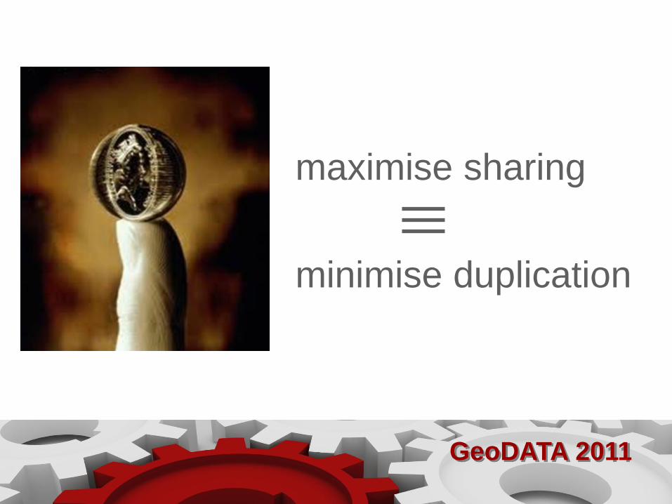
maximise sharing
minimise duplication

GeoDATA 2011
Reorganisation
Collaboration
Rationalisation Standardisation

GeoDATA 2011
Technical barriers to data sharing have been solved
• data conversion
• data transfer using standard data formats
• read spatial data in its native format
without conversion
• shared centralised databases
• standardised web services

GeoDATA 2011
What conditions make collaboration succeed?
• Necessity
• Reciprocity
• Efficiency
• Legitimacy
• Stability
• Asymmetry
Christine Oliver, ‘Determinants of Interorganizational Relationships:
Integration and Future Directions’, Academy of Management Review,
1990, Vol. 15. No. 2. 241-265

GeoDATA 2011

GeoDATA 2011
• Sharing GI infrastructure between eight authorities:
• one geoprocessing engine
• one central data store
• one web application template
• Capital costs and current costs spread over eight
authorities.
Cross Border Project: cost savings

GeoDATA 2011
New Forest District Council

GeoDATA 2011
Cost savings to New Forest DC
• Extranet capability added at minimal additional cost to NFDC
• Avoided the need for individual T&PCs to install and manage their
own desktop GIS (£5,000 p.a.)
• T&PCs pay for the service, by head of population.
• Income from the service has paid for additional staff and resources
in NFDC.

GeoDATA 2011
Warwickshire County Council
GeoDATA 2011
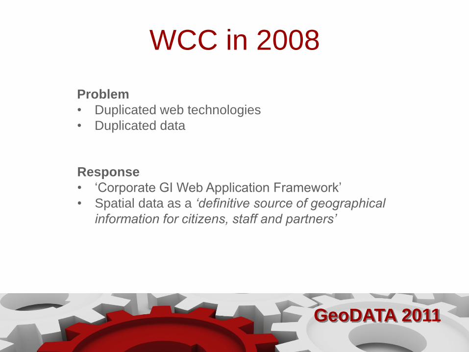
WCC in 2008
Problem
• Duplicated web technologies
• Duplicated data
Response
• ‘Corporate GI Web Application Framework’
• Spatial data as a ‘definitive source of geographical
information for citizens, staff and partners’
GeoDATA 2011
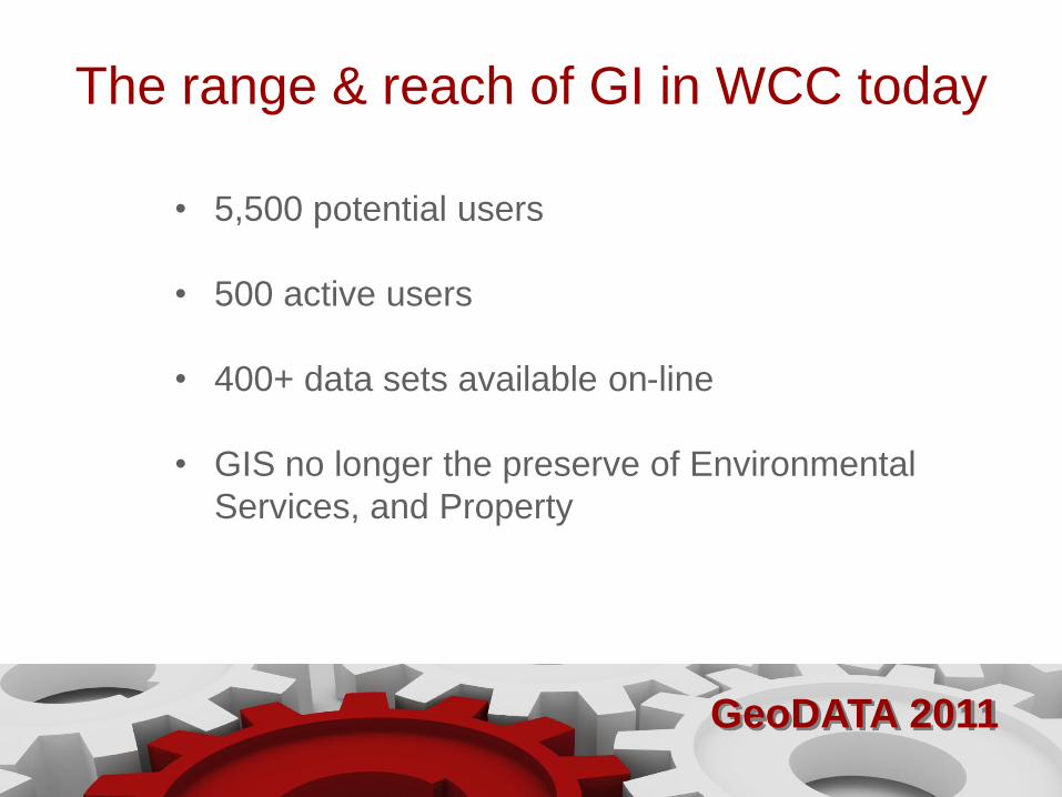
The range & reach of GI in WCC today
• 5,500 potential users
• 500 active users
• 400+ data sets available on-line
• GIS no longer the preserve of Environmental
Services, and Property
GeoDATA 2011
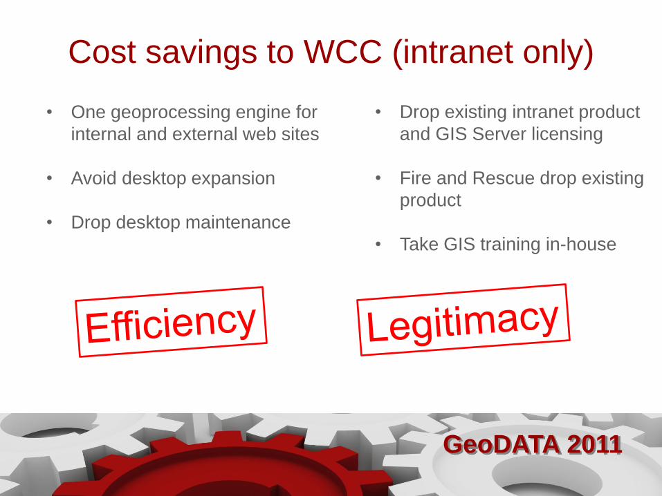
Cost savings to WCC (intranet only)
• One geoprocessing engine for
internal and external web sites
• Avoid desktop expansion
• Drop desktop maintenance
• Drop existing intranet product
and GIS Server licensing
• Fire and Rescue drop existing
product
• Take GIS training in-house

GeoDATA 2011
CCTV mapping in Salford

GeoDATA 2011
GeoDATA 2011
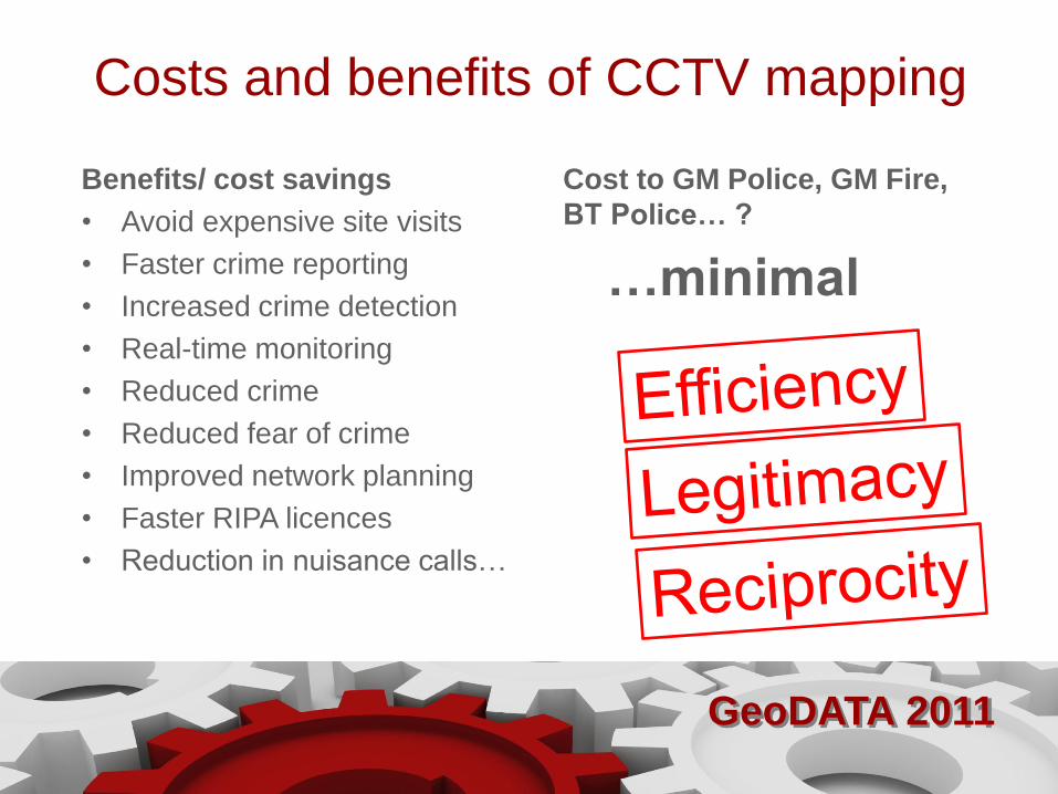
Costs and benefits of CCTV mapping
Benefits/ cost savings
• Avoid expensive site visits
• Faster crime reporting
• Increased crime detection
• Real-time monitoring
• Reduced crime
• Reduced fear of crime
• Improved network planning
• Faster RIPA licences
• Reduction in nuisance calls…
Cost to GM Police, GM Fire,
BT Police… ?
…minimal

GeoDATA 2011
Stop hugging.
Thank you
Start sharing.