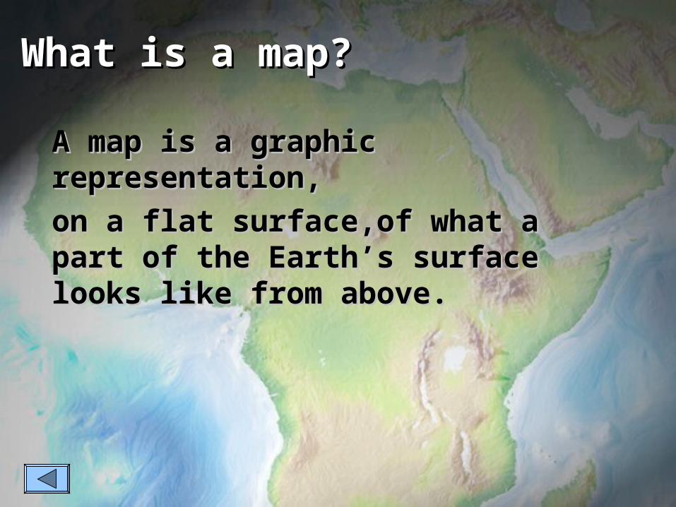
What is a map? A map is a graphic representation, on a flat surface,of what a part of the Earth’s...
35
-
date post
21-Dec-2015 -
Category
Documents
-
view
219 -
download
0
Transcript of What is a map? A map is a graphic representation, on a flat surface,of what a part of the Earth’s...

What is a map?What is a map?
A map is a graphic A map is a graphic representation,representation,
on a flat surface,of what a part of on a flat surface,of what a part of the Earth’s surface looks like the Earth’s surface looks like from above.from above.

““Its (Geography’s) foremost tool Its (Geography’s) foremost tool is the map.”is the map.”
- Why are maps so valuable?- Why are maps so valuable?
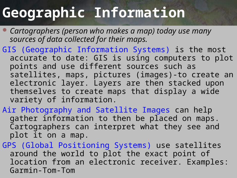
Geographic Information Cartographers (person who makes a map) today use
many sources of data collected for their maps. GIS (Geographic Information Systems) is the most
accurate to date: GIS is using computers to plot points and use different sources such as satellites, maps, pictures (images)-to create an electronic layer. Layers are then stacked upon themselves to create maps that display a wide variety of information.
Air Photography and Satellite Images can help gather information to then be placed on maps. Cartographers can interpret what they see and plot it on a map.
GPS (Global Positioning Systems) use satellites around the world to plot the exact point of location from an electronic receiver. Examples: Garmin-Tom-Tom

Types of Maps
General Purpose: Typically used for reference, education and travel.
Special Purpose: Emphasize a single idea or a particular kind of information about an area
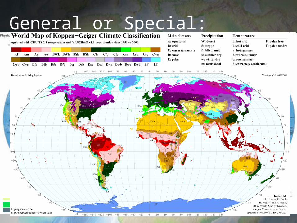
General or Special:

Map ElementsTODALSIGS
The elements of a good map.TITLE: Tells us what, where, when and the
subject of the mapORIENTATION: Directions - North, South,
East, WestDATE: When the map was madeAUTHOR: Who made the mapLEGEND: What the symbols on the map
meanSCALE: Tells us the distance a unit of
measurement represents in the area shown on the map (estimated)

INDEX: Map address of places, usually an alphabetical listing such as a street map grid or latitude/longitude coordinates
GRID: A set of horizontal and vertical lines that help you locate places on the map using letters and numbers or latitude and longitude
SOURCE: Where the information on the map came from- the bibliographical information
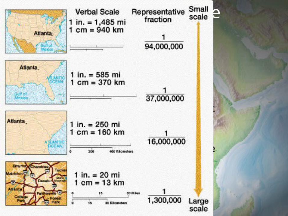
Large vs. Small Scale Maps
The larger the area represented on a flat piece of paper , the smaller the scale of the map and the less detail it can display.
Why? Because scale refers to the ratio of a distance on a map to the actual distance it represents.

What is the scale?

What is the scale?

Scale Bar
Shows the relationship between map measurements and actual distances.

Using the scale bar

Using the Grid

Lines of latitude (parallels) – Lines of latitude (parallels) –
Lat = FlatLat = FlatLines that are drawn around the globe parallel to the Equator.They measure North and South.

Major Lines of Latitude
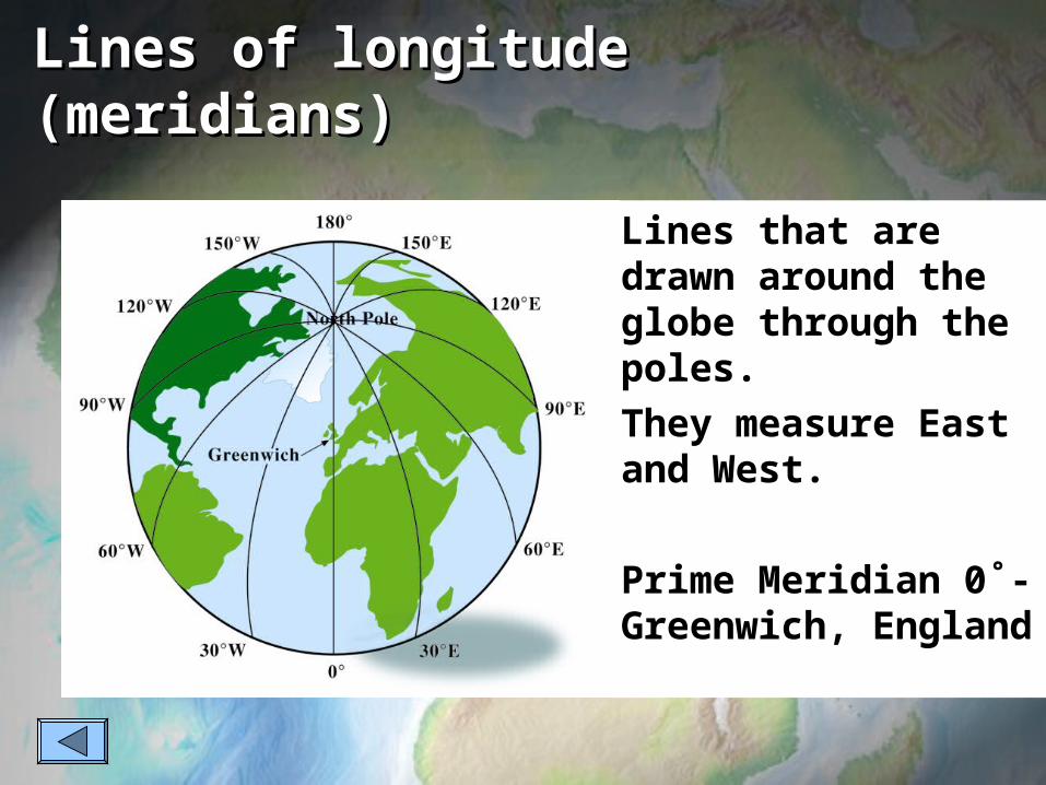
Lines of longitude Lines of longitude (meridians)(meridians)
Lines that are drawn around the globe through the poles.They measure East and West.
Prime Meridian 0˚- Greenwich, England
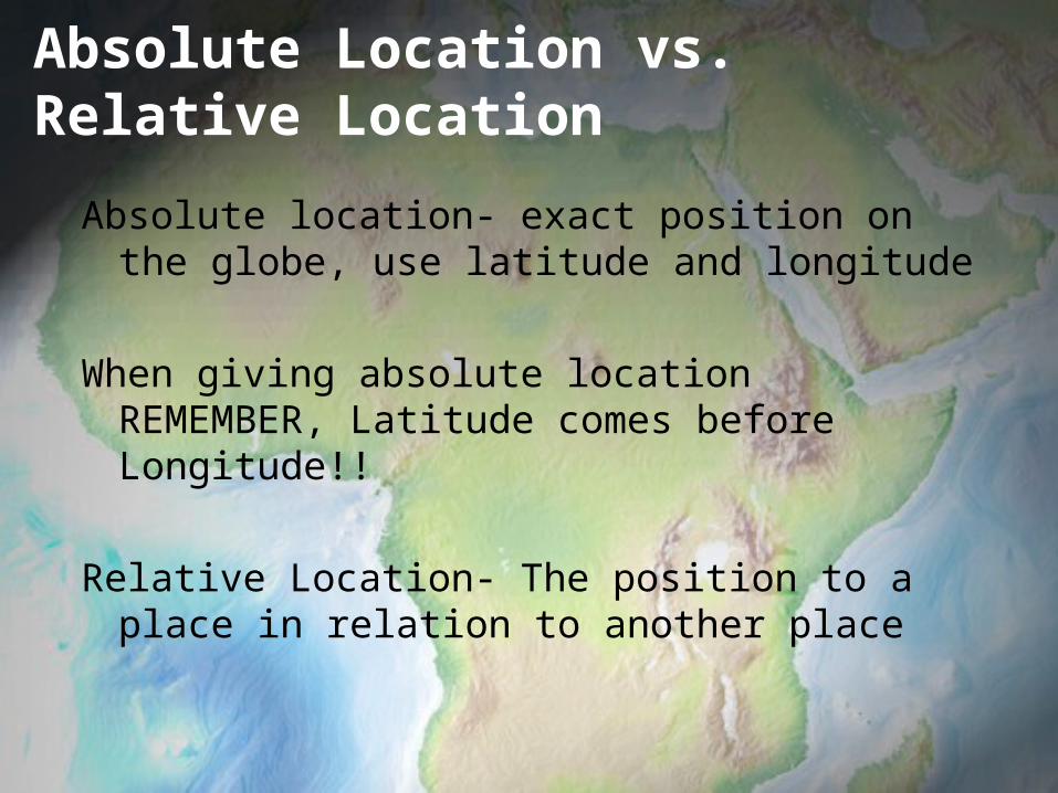
Absolute Location vs. Relative Location
Absolute location- exact position on the globe, use latitude and longitude
When giving absolute location REMEMBER, Latitude comes before Longitude!!
Relative Location- The position to a place in relation to another place

Practice Using Absolute Location
D
B
C
A
E
F
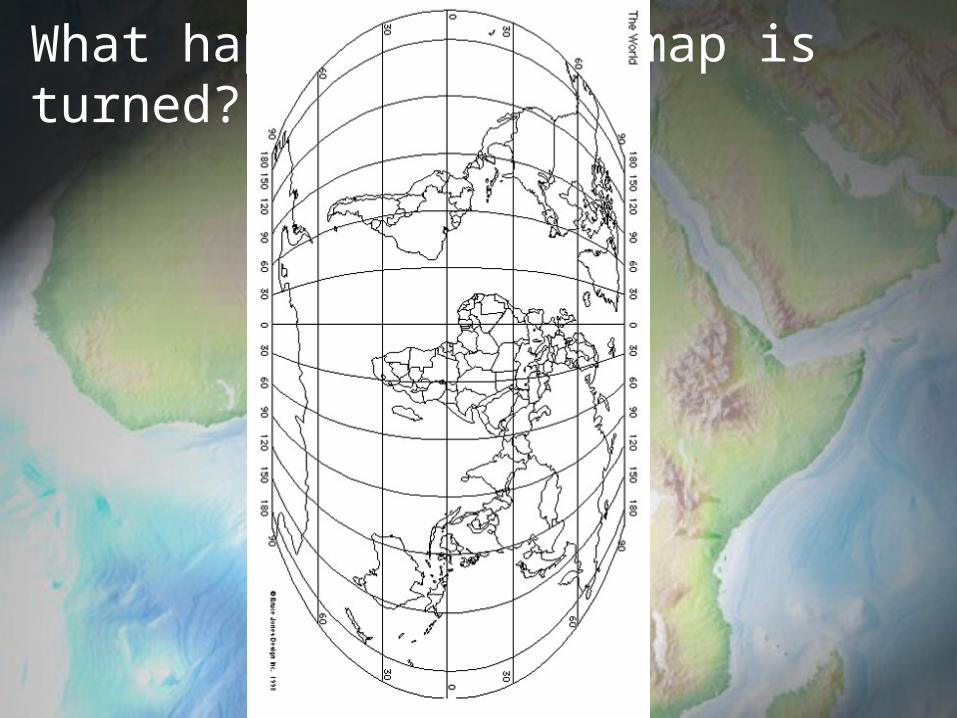
What happens if the map is turned?

Reading A Map
In addition to scale and the lines of latitude and longitude, maps feature other important tools to help you interpret the information they contain. Learning to use these map tools will help you read the symbolic language of maps.
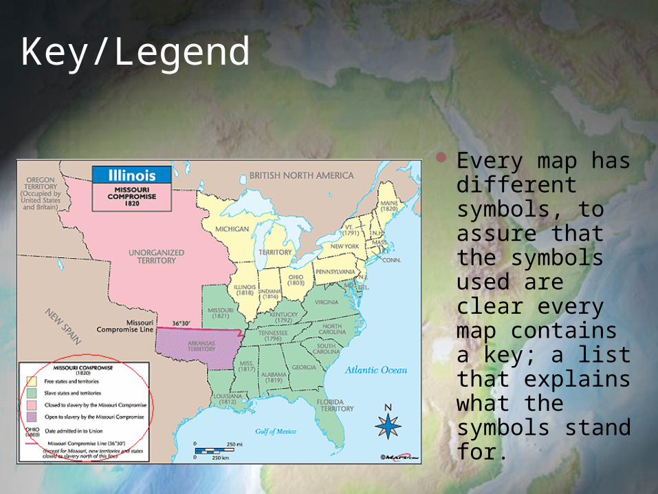
Key/Legend
Every map has different symbols, to assure that the symbols used are clear every map contains a key; a list that explains what the symbols stand for.

Boundary Lines
On political maps boundary lines highlight the borders between different countries, states, or counties.
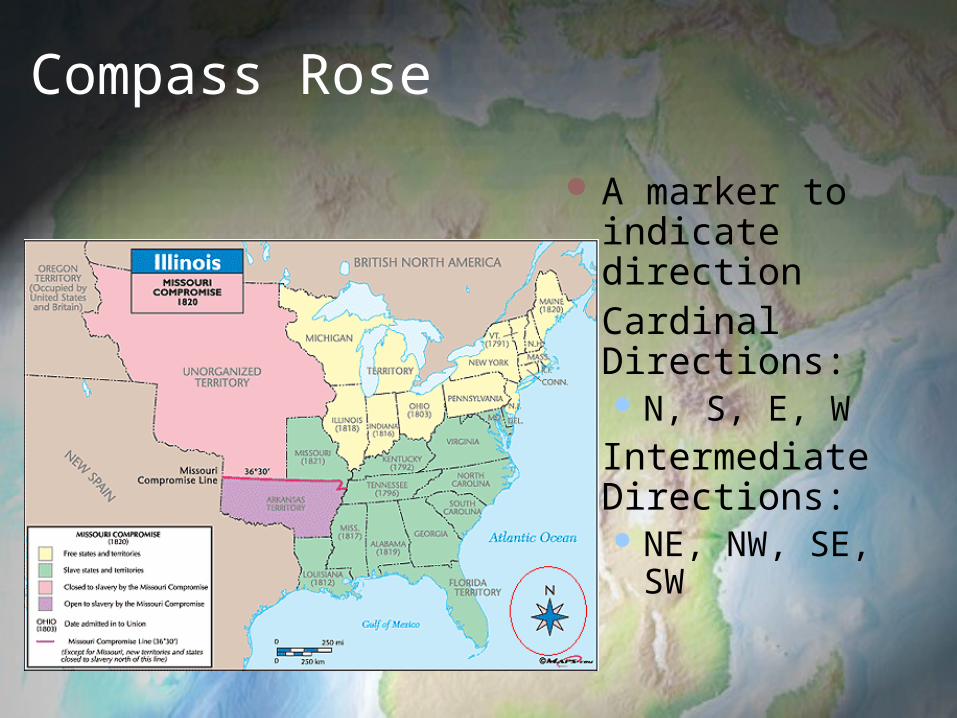
Compass Rose
A marker to indicate direction
Cardinal Directions: N, S, E, W
Intermediate Directions: NE, NW, SE,
SW
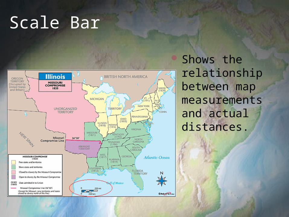
Scale Bar
Shows the relationship between map measurements and actual distances.
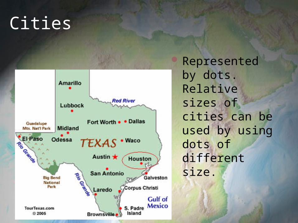
Cities
Represented by dots. Relative sizes of cities can be used by using dots of different size.

Capitals
National capitals are often represented by a star with in a circle.
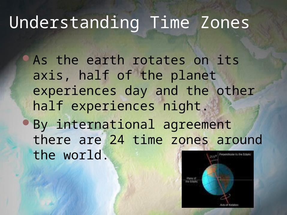
Understanding Time Zones
As the earth rotates on its axis, half of the planet experiences day and the other half experiences night.
By international agreement there are 24 time zones around the world.

Time Zones
Time zones are represented at 15° longitude, or the distance the earth rotates in one hour.
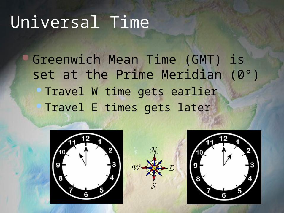
Universal Time
Greenwich Mean Time (GMT) is set at the Prime Meridian (0°)Travel W time gets earlierTravel E times gets later
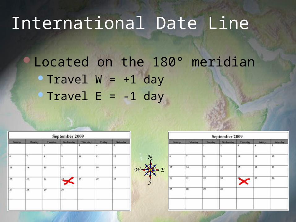
International Date Line
Located on the 180° meridian Travel W = +1 day Travel E = -1 day

Time Zone Lines
Are not always perfectly straight, some curve to serve special needs:Political Geographic


Summary
Why are maps valuable?What are the features of a map?What are the major lines of latitude?How do you determine absolute
location?What is the difference between large and
small scale maps?