Maps Directions Distance Reading maps Reading map legends Latitude & Longitude 1.
Upload
duongkhanhCategory
view
226download
0
WEB MAPPING WITH DRUPAL Ranel O. Padon

WHY WEB?
connectivity & interaction

WHY CMS?

WHY CMS?

WHY CMS?

WHY CMS?

WHY CMS?

WHY PHP?
used by almost 30 Million websites around the world. http://trends.builtwith.com/framework/PHP

WHY PHP?

RECURSIVE ACRONYMS

WHY PHP
open-source cross-platform good documentation readable secured easily deployed stable flexible fast extendable/scalable huge community & support

WHAT IS DRUPAL?
created by Dries Buytaert on 2001
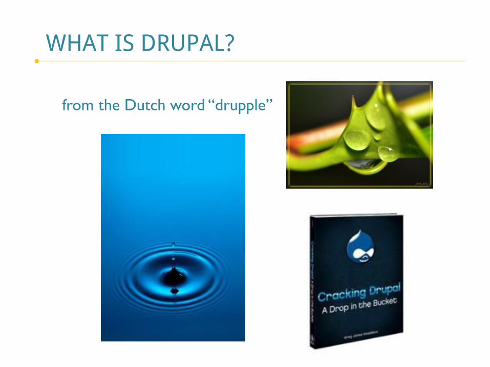
WHAT IS DRUPAL?
from the Dutch word “drupple”

WHY DRUPAL?


WHY DRUPAL?
it’s free & used by Yahoo, eBay, NASA, NATO, MTV, etc.

DRUPAL 6
Factor Extraction for extracting the essential/major factors/paramaters uses the Principal Component Analysis (PCA) as the extraction method and uses the Varimax with Kaiser Normalization for the rotation method

DRUPAL 6

DRUPAL 7

DRUPAL 7

DRUPAL 7

DRUPAL 7
Drupal 7 addressed 90% of the problems identified by the Universities of Minnesota and Baltimore in Drupal 6. User experience designer Mark Boulton was hired to work with the Drupal community to design an improved user interface for Drupal's administration interface.

WHY DRUPAL?
Pretty interfaces

WHY DRUPAL?
Pretty interfaces

DRUPAL 7

MORE CODE

WHY DRUPAL? IT CAN BE TAMED.
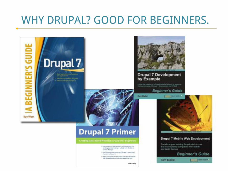
WHY DRUPAL? GOOD FOR BEGINNERS.

WHY DRUPAL? FLEXIBLE FOR EXPERTS.

WHY DRUPAL? IT’S VERSATILE!

WHY DRUPAL? 20,000 Modules
Embraces Change: 8 Major Versions State-of-the-Art: Almost 20,000 modules!

WHY DRUPAL? STRONG COMMUNITY
Active & Huge Community: Transcending Boundaries

WHY DRUPAL? COMMUNITY EFFORT
Worth of Drupal: $12,288,606 (223 person-years) https://www.ohloh.net/p/drupal/estimated_cost

WHY MAP?
The Power of Maps (Lord of the Rings’ map)

WHY MAP?
Maps are used to analyze patterns.

WHY MAP?
It engages the Community

WHY MAP?
Maps are used for visualizing phenomena.

WHY MAP?
Maps are good for portraying connectivity.

WHY MAP?
Maps could help in damage assessment & rescue operations.

WHY MAP WITH DRUPAL?
Powerful & Stable Mapping Modules: Geofield, Leaflet, OpenLayers, GMap, etc.

WHY MAP WITH DRUPAL?
Great web mapping docs & books

SAMPLE OF OPENLAYERS IN DRUPAL

DRUPAL 7 CONFIGURATION
install Apache, MySql & PHP (XAMPP, WAMP, Easy PHP, ...) start Apache & MySQL (Apache automatically starts PHP) create a MySQL database go to http://localhost/phpmyadmin download & install Drupal 7 go to http://localhost/drupal/install.php

CARTARO GEOSPATIAL CMS

CARTARO GEOSPATIAL CMS
for extracting the essential/major factors/paramaters uses the Principal Component Analysis (PCA) as the extraction method and uses the Varimax with Kaiser Normalization for the rotation method

CARTARO GEOSPATIAL CMS

CARTARO GEOSPATIAL CMS
The geospatial components used are PostGIS, GeoServer, GeoWebCache and OpenLayers.

CARTARO SECURITY

CARTARO OPENLAYERS EDITOR

CARTARO PUBLISHED WITH STYLE

CARTARO-POWERED SITE
www.cuba.cartaro.org for extracting the essential/major factors/paramaters uses the Principal Component Analysis (PCA) as the extraction method and uses the Varimax with Kaiser Normalization for the rotation method

CARTARO CONFIGURATION
integrate XAMPP to PostgreSQL start Apache (XAMPP) start Postgre, PostGIS & GeoServer (OpenGeo Suite) open pgAdmin III create a cartaro spatial db copy the cartaro contents to htdocs folder go to http://localhost/cartaro/install.php enjoy the site

CARTARO CONFIGURATION
enjoy the site

RELATED GEOSPATIAL CMS
http://mapbender.org/
Web-GIS Client (OGC WMS, WFS, Catalog Service Client)
Geo-CMS (Content Management System)
Web-based Digitizing/Editing Functionality
(OGC WSF-T Client)
Security Management (Authentication, Authorization)
Accounting Management (Logging)
Spatial Web Services Orchestrating

RELATED GEOSPATIAL CMS
https://www.ohloh.net/p/mapbender?ref=sample

RELATED GEOSPATIAL CMS
https://www.ohloh.net/p/mapbender?ref=sample

RELATED GEOSPATIAL CMS
https://www.ohloh.net/p/mapbender?ref=sample

RELATED GEOSPATIAL CMS
http://mapbender.org/

RELATED GEOSPATIAL CMS
http://mapbender.org/

RELATED GEOSPATIAL CMS
http://mapbender.org/

RELATED GEOSPATIAL CMS
http://mapbender.org/

RELATED GEOSPATIAL CMS
http://mapbender.org/

RELATED GEOSPATIAL CMS (PHP)
http://mapbender3.org/

RELATED GEOSPATIAL CMS (Python)
http://geonode.org/org/

THE DRUPAL MOVEMENT
http://groups.drupal.org/philippines

THE DRUPAL MOVEMENT
PHDUG: Philippine Drupal Users Group

Thank You!