Visualising Flux: Storytelling with Time, Space & Torque
79
VISUALIZING FLUX Aurelia Moser, CartoDB | @auremoser [email protected] storytelling with time, space, and torque
-
Upload
extract-data-stories-worth-sharing -
Category
Technology
-
view
49 -
download
0
Transcript of Visualising Flux: Storytelling with Time, Space & Torque

VISUALIZING FLUX
Aurelia Moser, CartoDB | @auremoser [email protected]
storytelling with time, space, and torque

the rate of flow of a property per unit area, which has the dimensions[quantity]·[time]−1·[area]−1.[2]
flux

us river map, cartodb, tinyurl.com/river-cdbmap

iceland isomap, cartodb, tinyurl.com/cdb-iceland

indian election map, cartodb, http://tinyurl.com/cdb-indiatweet

math model that combines space and time into a single interwoven continuum;
a manifold consisting of “events” which are described by some type of coordinate system.
spacetime

respect spacetime


problem

utility

code

product


http://landquest.internewskenya.org/
problem

brazil-election
utility

code

product

live data, import api and remote
sync
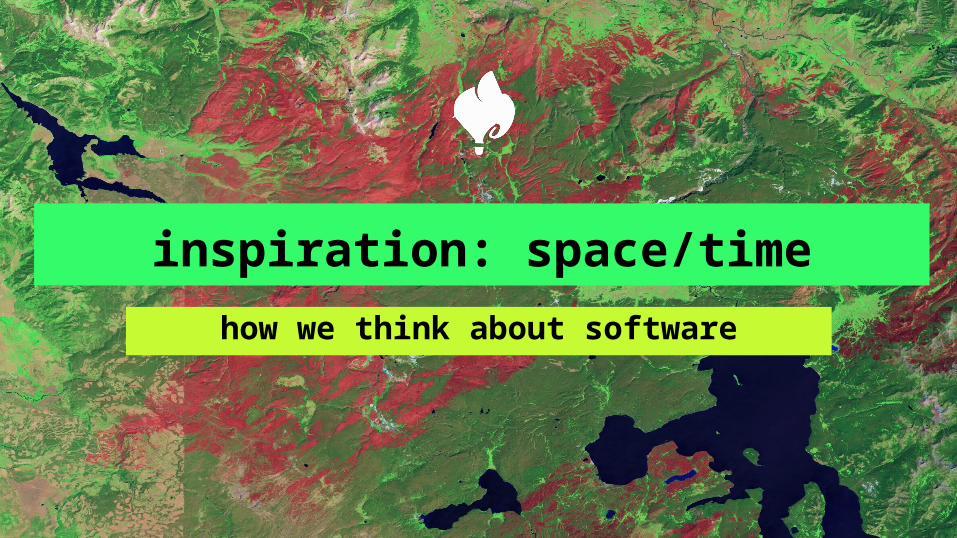
inspiration: space/time
how we think about software

nasa
tom sachs
sara hendren
nasa
tom sachs
sara hendren

inspiration: nasa
science, stellar photos, landsat magic

mapping urban sprawl
1984 2011

2013
epecuén: shrinking lakes
1986
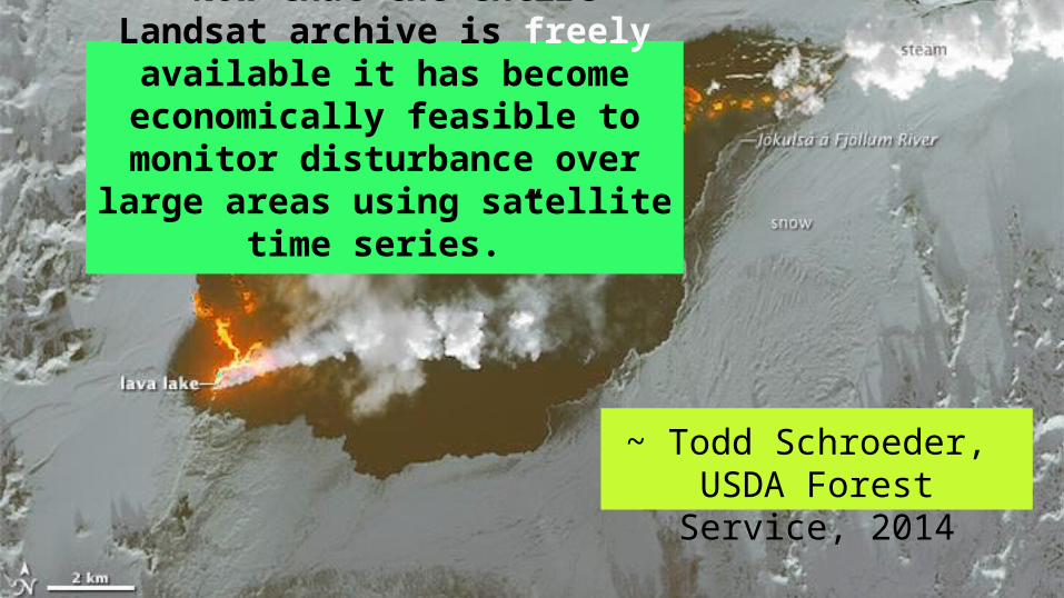
~ Todd Schroeder, USDA Forest Service,
2014
“Now that the entire Landsat archive is freely available it has become economically feasible to monitor disturbance over large areas using satellite
time series.”

nasa
tom sachs
sara hendren

inspiration: tom sachs
artist, architect, urban hacker
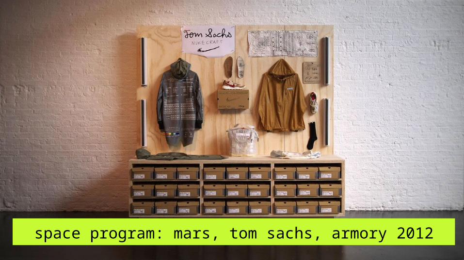
space program: mars, tom sachs, armory 2012

“our space program is expensive, slow, and
crappy and that’s why it’s magic”
~ Tom Sachs

nasa
tom sachs
sara hendren

inspiration: sara hendren
researcher, designer, Harvard GSD

accessible icon project, sara hendron et al, moma, 2011

“accessible design is universal design”

maps as digital prosthetics: making the city and its data more
accessible

citizen cartography
what can you do with cartodb?

manage + import data


Manage + Import Data

query + customize maps

crisis + crowd-mapping
humanitarian relief and mythic maps

port au prince, haiti, 2010 before/after on OSM


unreliable power
unreliable infrastructure
hostile environments

http://opennews.kzhu.io/map-disputes/

Bhutan, 2014, via Google Maps


apps that change the world
projects we support

ngo aid map, cartodb, http://ngoaidmap.org/

global forest watch, cartodb, http://www.globalforestwatch.org/

illustreets econ report, http://illustreets.co.uk/

fires in the amazon (2012-2014), http://infoamazonia.org/projects/fire/

super-novanew mapping features + coming
soon!

telling stories with torque

las vegas tourist traffic, cartodb, tinyurl.com/cdb-tourist

torque snowplow heatmaps, cartodb, tinyurl.com/snow-cdb

more open data

more projections

more tutorials

more basemaps

more apis

odyssey.js


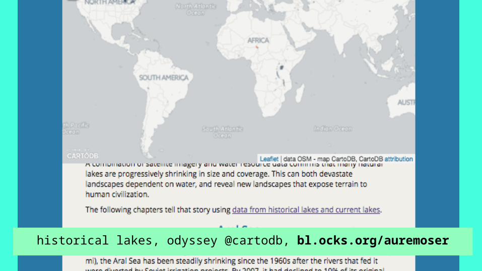
historical lakes, odyssey @cartodb, bl.ocks.org/auremoser

more experiments

grants: nonprofit + startup

more partnerships: spacetime.nypl.org

more integrations: gdelt

hi-res satellite captures

1979 2011

make human maps
account for flux
respect spacetime