Virginia Geographic Information System (GIS) Programs and ...
4
Old Dominion University ODU Digital Commons Libraries Faculty & Staff Publications University Libraries 2002 Virginia Geographic Information System (GIS) Programs and Resources for Libraries Stuart Frazer Old Dominion University, [email protected] Follow this and additional works at: hps://digitalcommons.odu.edu/libraries_fac_pubs Part of the Geographic Information Sciences Commons , and the Library and Information Science Commons is Article is brought to you for free and open access by the University Libraries at ODU Digital Commons. It has been accepted for inclusion in Libraries Faculty & Staff Publications by an authorized administrator of ODU Digital Commons. For more information, please contact [email protected]. Repository Citation Frazer, Stuart, "Virginia Geographic Information System (GIS) Programs and Resources for Libraries" (2002). Libraries Faculty & Staff Publications. 22. hps://digitalcommons.odu.edu/libraries_fac_pubs/22 Original Publication Citation Frazer, S.L. (2002). Virginia geographic information system (GIS) programs and resources for libraries. Virginia Libraries, 48(3), 18-20.
Transcript of Virginia Geographic Information System (GIS) Programs and ...

Old Dominion UniversityODU Digital Commons
Libraries Faculty & Staff Publications University Libraries
2002
Virginia Geographic Information System (GIS)Programs and Resources for LibrariesStuart FrazerOld Dominion University, [email protected]
Follow this and additional works at: https://digitalcommons.odu.edu/libraries_fac_pubs
Part of the Geographic Information Sciences Commons, and the Library and InformationScience Commons
This Article is brought to you for free and open access by the University Libraries at ODU Digital Commons. It has been accepted for inclusion inLibraries Faculty & Staff Publications by an authorized administrator of ODU Digital Commons. For more information, please [email protected].
Repository CitationFrazer, Stuart, "Virginia Geographic Information System (GIS) Programs and Resources for Libraries" (2002). Libraries Faculty & StaffPublications. 22.https://digitalcommons.odu.edu/libraries_fac_pubs/22
Original Publication CitationFrazer, S.L. (2002). Virginia geographic information system (GIS) programs and resources for libraries. Virginia Libraries, 48(3),18-20.
PAGE 18 VIRGINIA LIBRARIES JULY-SEPTEMBER, 2002
Virginia Geographic Information .System (GIS) Programs and
Resources for Libraries
0 ver the last ten years geographic information systems (GIS)
have drawn increasing atten-tion from the library community. In Virginia the way has been led by the University of Virginia and Virginia Tech library systems, both members of the Association of Research Libraries' GIS Literacy Project (http://www.arl.org/info/gis/ index.html) begun in 1992. Many of the Commonwealth's other college and university libraries are now offering GIS services at varying levels of complexity. As library interest in GIS grows, the time seems right for a roundup of resources available from higher education and public sector organizations across the Commonwealth.
A G IS is best understood as a system comprised of software and human support to acquire, store, analyze, and display data that can be referenced to a position on the earth. GIS give skilled users the means to powerfully manipulate and model geographic and statistical data to perform analyses, solve problems, and make decisions. These strengths have led to widespread use of GIS in business, engineering, public administration, and the sciences. Interest in GIS is gradually increasing in the
by Stuart L. Frazer
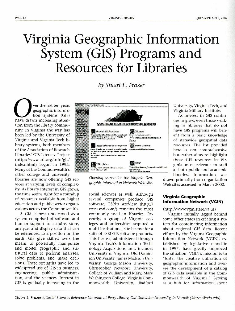
• ~!.l.!.!!"§_GlS RtS()IJ[CU;
Tl,k pajjt: idenlil'ik &IS-it-llltil!d ilHliY14tlfll t •ttd 0t.9,1111!t.1tl•M by t)'P• .Jftd ,n .. l!l Vlr!)h•I•. 1(1 tHl4!r SPOT llc4!ne agtH"1f!llt.
. G;IS Nt wg
Rtcet11snd;egtn~ &itide-s.
~'t WJH C9µnty Mapping their El!!w
• Vlwlnta Mttadata Clurlngh()u:u fil Evtntt Cakndar
A ucur-ftl•adl1 t••l to H.i1di far 1pi,1i~I dzrt;i, in A cnJ, ml,u arms..-.h'l1",d 11\lq{lt1,,. iu,tl i11G11lld Viigi11h11. l11st .'1pdMiltl 011 Dec11uiiiu l<l. 1001. {111 VltglR!.'I .SpMfol M~4"1J'.nlr. Cln1iu9ttoM1 r&-e-Md8}
University, Virginia Tech, and Virginia Military Institute.
As interest in GIS continues to grow, even those working in libraries that do not have GIS programs will benefit from a basic knowledge of statewide geospatial data resources. The list provided here is not comprehensive but rather aims to highlight those GIS resources in Vir-
• VGIN Library
R•pom, d•um•MS o111d 11rtklM 011 v,11 da111 l1Mtffti!l<1tiJl:!) to4:ilS
V&gilui .8He M11ppi•g Progn11r1: Ne-. Rl=P, ~,nil flh)pt, •h<>Wil'!J
ginia most relevant to staff at both public and academic libraries. Information was
1t0.200, & 400 ,,;1,lt •11tl<K-
Opening screen for the Virginia Geographic Information Network Web site.
social sciences as well. Although several companies produce GIS software, ESRI's ArcView (http:// www.esri.com/) remains the most commonly used in libraries. Recently, a group of Virginia colleges and universities acquired a multi-institutional site license for a suite of ESRI GIS software products. This license, administered through Virginia Tech's Information Technology Acquisitions unit, includes University of Virginia, Old Dominion University, James Madison University, George Mason University, Christopher Newport University, College of William and Mary, Mary Washington College, Virginia Commonwealth University, Radford
drawn primarily from organization Web sites accessed in March 2002.
Virginia Geographic Information Network (VGIN)
(http://www.vgin.state.va.us) Virginia initially lagged behind
some other states in creating a system for coordinating information about regional GIS data. Recent efforts by the Virginia Geographic Information Network (VGIN), established by legislative mandate in 1997, have greatly improved the situation. VGIN's mission is to "foster the creative utilization of geographic information and oversee the development of a catalog of GIS data available in the Commonwealth of Virginia." Serving as a hub for information about
Stuart L. Frazer is Social Sciences Reference Librarian at Perry Library, Old Dominion University, in Norfolk ([email protected]).
JULY- SEPTEMBER, 2002
GIS in the Commonwealth, their Web site provides a comprehensive directory of resources and contacts at universities and colleges, cities and counties, state agencies, planning districts, and private sector enterprises.
VGIN's online Virginia Spatial Metadata Clearinghouse (http:// vagis. state.va.us/documents/index. html) provides a database of geospatial data searchable by keyword, location, time period, etc. This clearinghouse is one component of the larger National Spatial Data Infrastructure network, a global spatial data finder developed by the Federal Geographic Data Committee (http://www.fgdc.gov/).
VGIN also recently announced a new Virginia Base Mapping Program (VBMP) that will acquire high-resolution digital orthophotography for the Commonwealth of Virginia in 2002. Orthophotography (aerial or satellite imagery) is always in demand by GIS users. Imagery and supporting documentation will be made available to local governments and public sector agencies across Virginia.
Higher Education Institutions
University of Virginia Geospatial and Statistical Data Center (GEOSTAT) (http:! /fisher.lib. virginia.edu/)
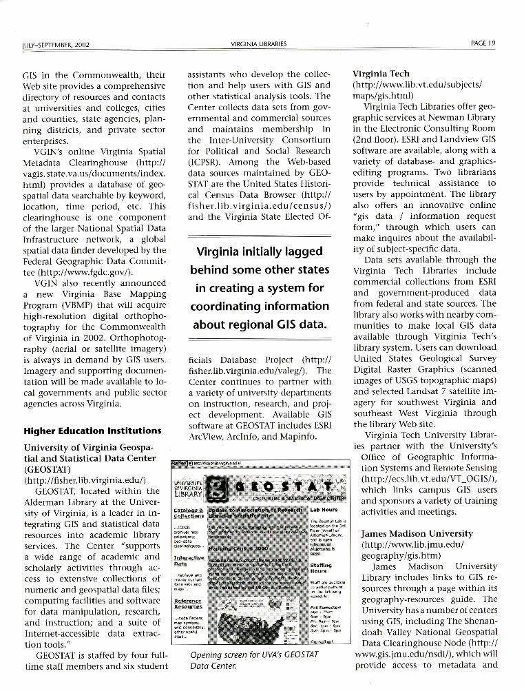
GEOSTAT, located within the Alderman Library at the University of Virginia, is a leader in integrating GIS and statistical data resources into academic library services. The Center "supports a wide range of academic and scholarly activities through access to extensive collections of numeric and geospatial data files; computing facilities and software for data manipulation, research, and instruction; and a suite of Internet-accessible data extraction tools. 11
GEOSTAT is staffed by four fulltime staff members and six student
VIRGINIA LIBRARIES
assistants who develop the collection and help users with GIS and other statistical analysis tools. The Center collects data sets from governmental and commercial sources and maintains membership in the Inter-University Consortium for Political and Social Research (ICPSR). Among the Web-based data sources maintained by GEOSTAT are the United States Historical Census Data Browser (http:// fisher. Ii b . virginia. ed u/ census/) and the Virginia State Elected Of-
Virginia initially lagged
behind some other states
in creating a system for
coordinating information
about regional GIS data.
ficials Database Project (http:// fisher.Ii b. virginia. ed u/valeg/). The Center continues to partner with a variety of university departments on instruction, research, and project development. Available GIS software at GEOSTAT includes ESRI ArcView, Arclnfo, and Mapinfo.
.•. 1cr,sR .archive; m.ap ,:1;1llci,c;t.i~; g_eo .. data clearii'jlhciu~e ...
... code FMiders; m.-ip :.•1m.bo'i; unit conveners; othlifl'Wful !l.i t e:s ...
Opening screen for UVA's GEOSTAT Data Center.
PAGE 19
Virginia Tech (http://www.lib.vt.edu/subjects/ maps/gis.html)
Virginia Tech Libraries offer geographic services at Newman Library in the Electronic Consulting Room (2nd floor). ESRI and Landview GIS software are available, along with a variety of database- and graphicsediting programs. Two librarians provide technical assistance to users by appointment. The library also offers an innovative online "gis data I information request form, 11 through which users can make inquires about the availability of subject-specific data.
Data sets available through the Virginia Tech Libraries include commercial collections from ESRI and government-produced data from federal and state sources. The library also works with nearby communities to make local GIS data available through Virginia Tech's library system. Users can download United States Geological Survey Digital Raster Graphics (scanned images of USGS topographic maps) and selected Landsat 7 satellite imagery for southwest Virginia and southeast West Virginia through the library Web site.
Virginia Tech University Librar-ies partner with the University's
Office of Geographic Information Systems and Remote Sensing (http://ecs.lib.vt.edu/VT _OGIS/), which links campus GIS users and sponsors a variety of training activities and meetings.
James Madison University (http://www.lib.jmu.edu/ geography/gis.htm)
James Madison University Library includes links to GIS resources through a page within its geography-resources guide. The University has a number of centers using GIS, including The Shenandoah Valley National Geospatial Data Clearinghouse Node (http://
www.gis.jmu.edu/nsdi/), which will provide access to metadata and

PAGE 20
geospatial data relating to the Shenandoah Valley and Virginia.
Radford University (http://www.radford.edu:8800/ -geoserve/)
The Department of Geography at Radford University maintains a "geoserver," allowing users to download spatial data covering Virginia and some surrounding states. These include Digital Elevation Models (DEMs), Digital Raster Graphics (DRGs), and Digital Ortho Quarter Quads (DOQQs). All of these files are in the public domain and can be downloaded free-ofcharge.
Old Dominion University (http://www.lib.odu.edu/resources/ gis/index.shtml)
The Perry Library at Old Dominion University offers ESRI ArcView on a number of computers in its Digital Services Center, with several librarians trained to provide basic assistance to users by appointment. The library collects data sets from a number of governmental and commercial sources.
Virginia Commonwealth University (http://www.library.vcu.edu/jbc/ govdocs/gis.htm)
Virginia Commonwealth University Libraries have been gradually moving into GIS for the past several years and now include a list of available data resources on their Web site. VCU also recently became Virginia's first member of the University Consortium for Geographic Information Science (UCGIS).
VIRGINIA LIBRARIES
George Mason University (http://library.gmu.edu/resources/ govt/gis.htm)
George Mason University's Fenwick Library Government Documents/Maps unit provides access to ESRI's ArcView and Arclnfo software and to geospatial data from government and commercial sources. The unit's Web site offers information about hardware, software, data, and links to additional GIS-related resources. Staff assistance is available by appointment.
College of William & Mary (http://www.vims.edu/ccrm/gis/ gisdata.html)
The Virginia Institute of Marine Science at the College of William & Mary makes GIS data, related to shoreline management in Virginia, available through its Comprehensive Coastal Inventory Program (CCI).
Additional Selected Virginia GIS Resources
Virginia Economic Development Partnership (VEDP) (http://gis.vedp.org/)
VEDP maintains a sophisticated, powerful GIS Web site, offering an interactive map server, downloadable digital orthophotography, and a data-set search engine.
Virginia Division of Mineral Resources (DMR) (http://www.mme.state.va.us/Dmr/ DOCS/Digit/digit.html)
DMR makes available a variety of digital mapping and data resources, including geologic maps, Digital
JULY- SEPTEMBER, 2002
Raster Graphics (DRGs), Digital Elevation Models (DEMs), and satellite imagery. They are also working on a project with the University of Virginia that will make more public domain GIS data available via the Web.
Virginia Gap Analysis Project (VA-GAP) (http://fwie.fw.vt.edu/WWW I vagap/frames.html)
VA-GAP is a cooperative effort between the GIS Division of the Conservation Management Institute of Virginia Tech (http:// fwie.fw. vt.edu/www /nframes/ gis . htm) and the Virginia Department of Game and Inland Fisheries. They make available data sets and interactive mapping related to land cover, species distribution, and other environmental topics.
Virginia Department of Transportation (VDOT) (http://www.virginiadot.org/ infoservice/ma p-CD-default.asp)
VDOT now makes a CD-ROM available to the public of the digital data files used to publish its county map series. This edition reflects the state-maintained highway system, as of 1998-99.
Virginia Association of Planning District Commissions (http://www.institute.virginia.edu/ vapdc/GIS.htm)
Virginia's Planning District Commissions are all involved in various regional GIS projects. Information about specific activities at each PDC is available through their Web site's PDConnect directory. m