Use of GIS in a comprehensive vector control program · 2014-06-04 · the North Texas Regional Lab...
29
Use of GIS in a comprehensive vector control program Michael Kazda, MA; Dorian Villegas, MPH; and Witold Migala, PhD, MPH ESRI GIS Health Conference Denver, CO October 2006
Transcript of Use of GIS in a comprehensive vector control program · 2014-06-04 · the North Texas Regional Lab...

Use of GIS in a comprehensive vector control program
Michael Kazda, MA; Dorian Villegas, MPH; and Witold Migala, PhD, MPH
ESRIGIS Health Conference
Denver, COOctober 2006
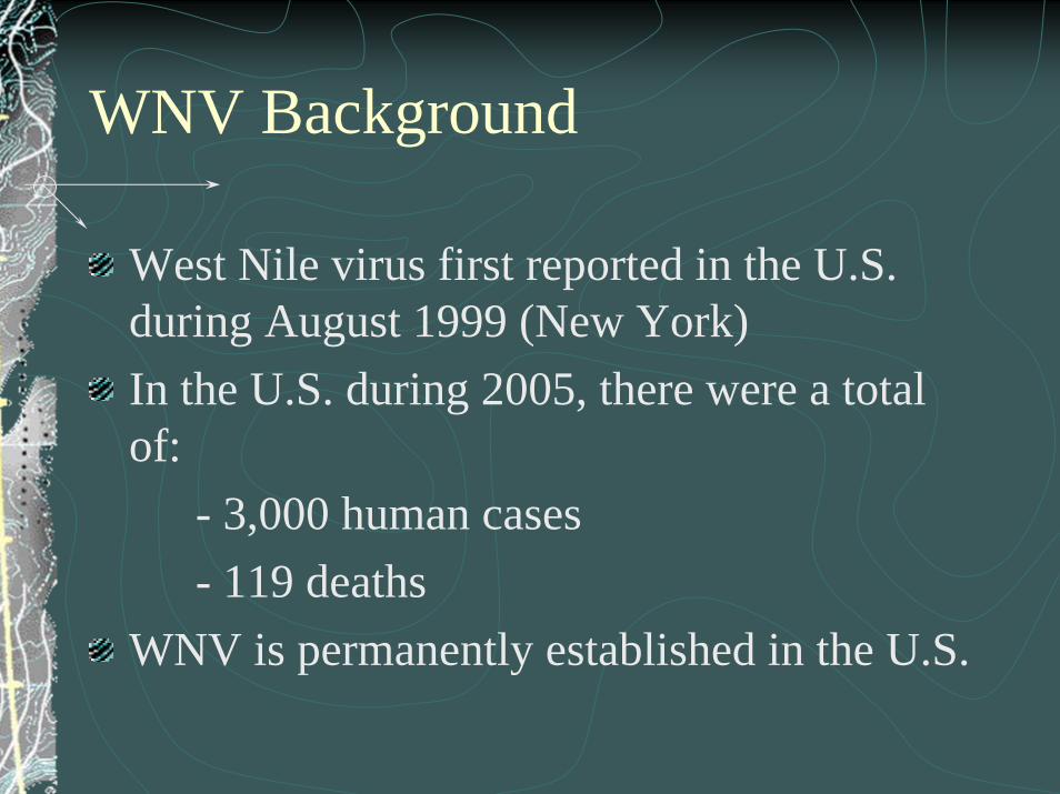
WNV Background
West Nile virus first reported in the U.S. during August 1999 (New York)In the U.S. during 2005, there were a total of:
- 3,000 human cases- 119 deaths
WNV is permanently established in the U.S.

WNV Background
West Nile Virus is a Flavivirus closely related to St. Louis encephalitis and other members of the Japanese encephalitis complex virusesIt was first isolated in the West Nile province of Uganda in 1937The first large epidemics of WNV occurred in Israel during the early 1950s. The largest to date occurred in South Africa in 1974. Large human outbreaks have occurred in Southern France, southeastern Romania, and south-central Russia.

WNV Background
The first human case of WNV and positive mosquito pools were reported in Fort Worth during the Fall of 2002 (September/October)Prior to this, reports of dead birds and nuisance mosquitoes were being tracked and mapped by the Public Health and Environmental Management Departments

WNV Transmission
Centers for Disease Control and Prevention

WNV Vector
Centers for Disease Control and Prevention

Risk of Infection
In areas where mosquitoes carry the virus:- Less than 1% of mosq. are infected- If mosq. is infected, less than 1% of people bitten
who get infected will become severely ill Current estimates indicate:-80% of individuals who are infected will have no symptoms-Up to 20% will have mild symptoms (fever, headache, flu-like symptoms)- 1 in 150 people infected will develop severe symptoms

Mortality Comparison
According to the Centers for Disease Control and Prevention (CDC), there were 8 deaths from West Nile virus in Texas during 2004. Comparing that number with other incidents or conditions puts West Nile in perspective:
-53,174 deaths due to heart disease-33,836 deaths due to cancer-5,426 deaths due to diabetes-3,808 deaths due to motor vehicle accident-3,198 deaths due to influenza/pneumonia-1,403 homicides-1,044 deaths due to HIV(source: Texas Department of State Health Services, 2004)
-14.2 average number of individuals struck by lightning in Texas annually (498 deaths and injuries reported 1959 to 1994- NOAA Technical Memorandum NWS SR-193)
- 6 winners of the Texas Lottery in 2004 (source: Texas Lottery Commission)

What are the odds?

Fort Worth Response to WNV
Comprehensive plan to reduce the risk of illness due to WNVInter-departmental taskforce to address issuesReduction of mosq. population through elimination of breeding grounds, application of larvicidesSampling and testing of mosq. in cooperation with the North Texas Regional Lab and Tarrant County Public Health Department
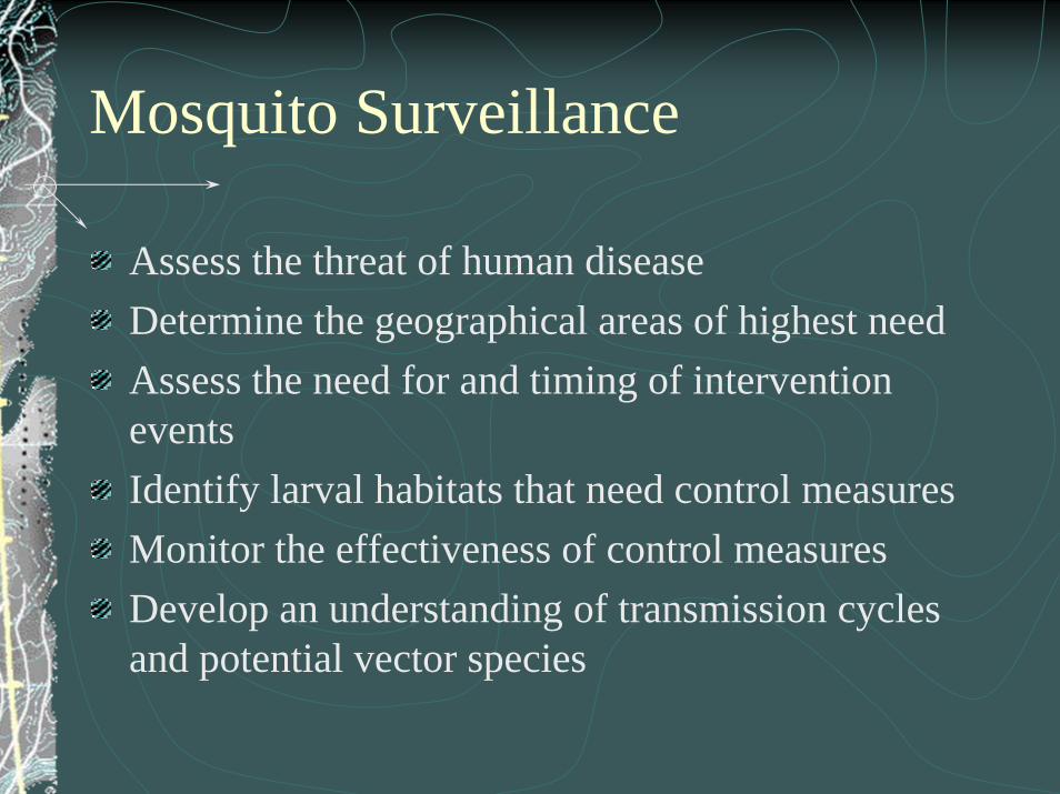
Mosquito Surveillance
Assess the threat of human diseaseDetermine the geographical areas of highest needAssess the need for and timing of intervention eventsIdentify larval habitats that need control measuresMonitor the effectiveness of control measuresDevelop an understanding of transmission cycles and potential vector species
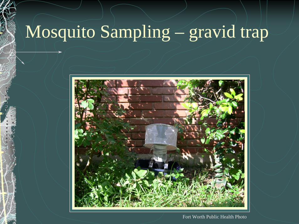
Mosquito Sampling – gravid trap
Fort Worth Public Health Photo
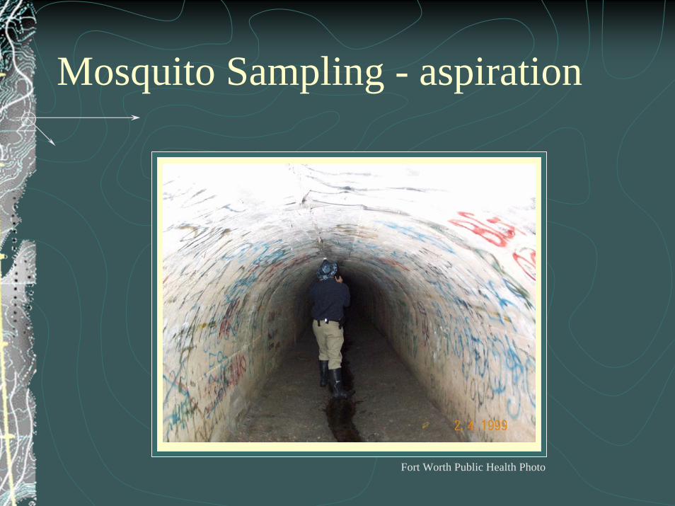
Mosquito Sampling - aspiration
Fort Worth Public Health Photo

Field Data Collection - location
Fort Worth Public Health Photo

Mosquito and Dead Bird Reporting System

Mosquito and Dead Bird Reporting System

Data integration – Enterprise GIS
City developed an Enterprise GIS in 2002Data centrally stored in SDE serverEnterprise software licensing and license managerTwo-day training for all interested city employees Enterprise projects prioritized, funded and completedStructure:
IT Advisory BoardGIS Steering CommitteeIT GIS staffCity-wide GIS User Group

Data integration – Enterprise GIS
Basemap data utilized:Streets, Lots, Orthophotography, City Limits, Hydrology, Index files (MAPSCO)
Other data maintained:Hospitals, Schools, Libraries, Assisted Living Facil., Nursing Homes, Childcare Centers, Community Centers, Churches, YMCA, Neighborhood organizations
WNV specific data:Positive test sites, Human case reports, Human fatalities, Mosquito sampling sites, Reported dead birds, Nuisance mosquito complaints, Intervention sites
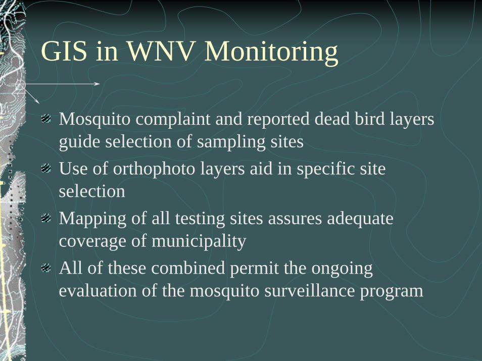
GIS in WNV Monitoring
Mosquito complaint and reported dead bird layers guide selection of sampling sitesUse of orthophoto layers aid in specific site selectionMapping of all testing sites assures adequate coverage of municipalityAll of these combined permit the ongoing evaluation of the mosquito surveillance program


GIS in WNV Response
GIS is central to response plansFirst action in the response flowchart is mapping of positive mosquito pool with ½ mile response bufferVector Control staff use map to identify sites for mitigationMap products are forwarded to representatives on the inter-departmental teamCommunity assets identified within ½ radius of the site are contacted and provided information


Mitigation – Source Reduction
Tarrant County Public Health Department

Issues Identified
Public Education (protective measures)Elimination of breeding sitesElimination of resting sitesOther source reduction activities- use of larvacide- introduction of fish into permanent bodies of
waterAssistance from: Code Enforcement, Transportation and Public Works, Environmental Management, Parks and Community Services

ArcIMS Site

Future Plans
Increased use of ArcIMS site for distribution and viewing data among vector control and other inter-departmental team members
Expanded field GPS/GIS capacity

Questions/Contact
Michael J. Kazda, MA
Epidemiologist
Public Health Department
City of Fort Worth, Texas
http://www.fortworthgov.org/health/Epi/index.asp

Thanks and Happy Trails…
City of Fort Worth, Texas – Twice daily cattle drive of municipal longhorn herd.