UN-GGIM World Bank Forum Geospatial Information for...
17
Positioning geospatial information to address global challenges Greg Scott Global Geospatial Information Management United Nations Statistics Division Department of Economic and Social Affairs United Nations, New York UN-GGIM – World Bank Forum Geospatial Information for Development The Data Challenge: Bridging the Geospatial Digital Divide
Transcript of UN-GGIM World Bank Forum Geospatial Information for...
Positioning geospatial information to address global challenges
Greg Scott Global Geospatial Information Management
United Nations Statistics Division
Department of Economic and Social Affairs
United Nations, New York
UN-GGIM – World Bank Forum
Geospatial Information for Development
The Data Challenge:
Bridging the Geospatial Digital Divide
Positioning geospatial information to address global challenges
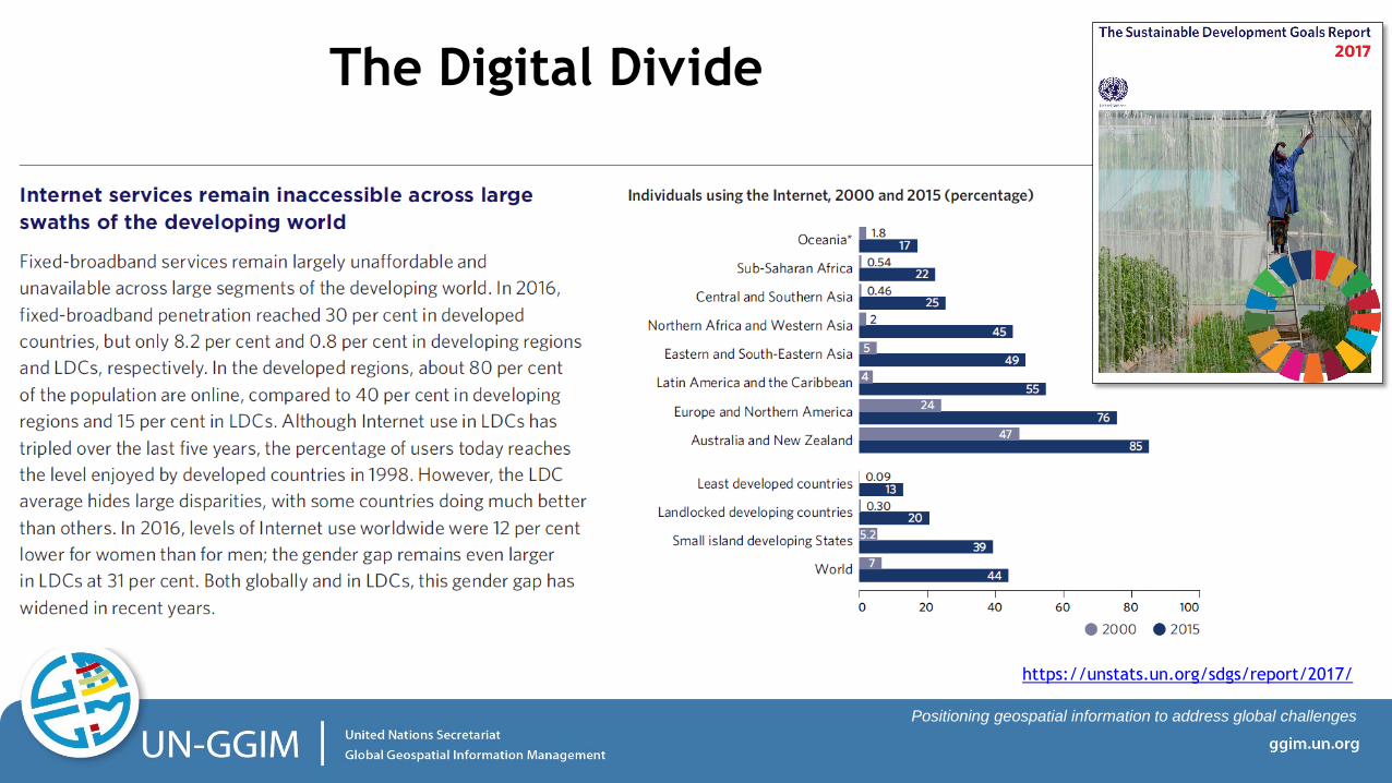
The Digital Divide
https://unstats.un.org/sdgs/report/2017/
Positioning geospatial information to address global challenges
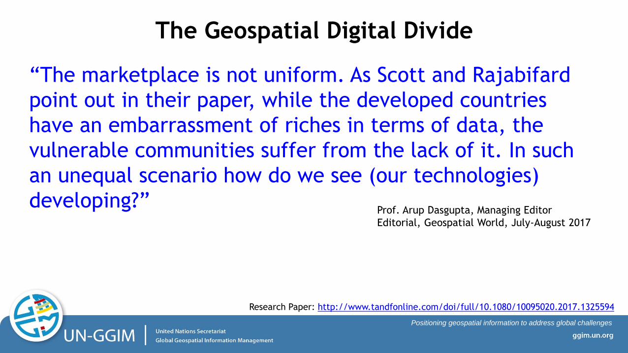
“The marketplace is not uniform. As Scott and Rajabifard
point out in their paper, while the developed countries
have an embarrassment of riches in terms of data, the
vulnerable communities suffer from the lack of it. In such
an unequal scenario how do we see (our technologies)
developing?” Prof. Arup Dasgupta, Managing Editor
Editorial, Geospatial World, July-August 2017
Research Paper: http://www.tandfonline.com/doi/full/10.1080/10095020.2017.1325594
The Geospatial Digital Divide
Positioning geospatial information to address global challenges
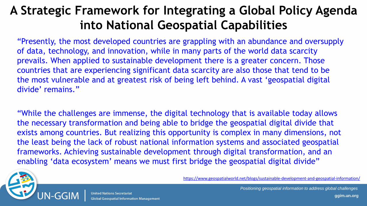
“Presently, the most developed countries are grappling with an abundance and oversupply
of data, technology, and innovation, while in many parts of the world data scarcity
prevails. When applied to sustainable development there is a greater concern. Those
countries that are experiencing significant data scarcity are also those that tend to be
the most vulnerable and at greatest risk of being left behind. A vast ‘geospatial digital
divide’ remains.”
“While the challenges are immense, the digital technology that is available today allows
the necessary transformation and being able to bridge the geospatial digital divide that
exists among countries. But realizing this opportunity is complex in many dimensions, not
the least being the lack of robust national information systems and associated geospatial
frameworks. Achieving sustainable development through digital transformation, and an
enabling ‘data ecosystem’ means we must first bridge the geospatial digital divide”
A Strategic Framework for Integrating a Global Policy Agenda
into National Geospatial Capabilities
https://www.geospatialworld.net/blogs/sustainable-development-and-geospatial-information/
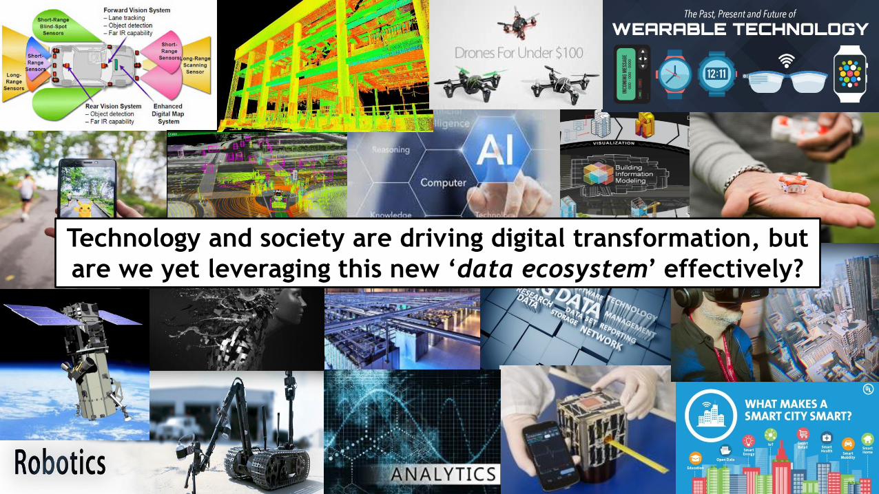
Technology and society are driving digital transformation, but
are we yet leveraging this new ‘data ecosystem’ effectively?
Positioning geospatial information to address global challenges
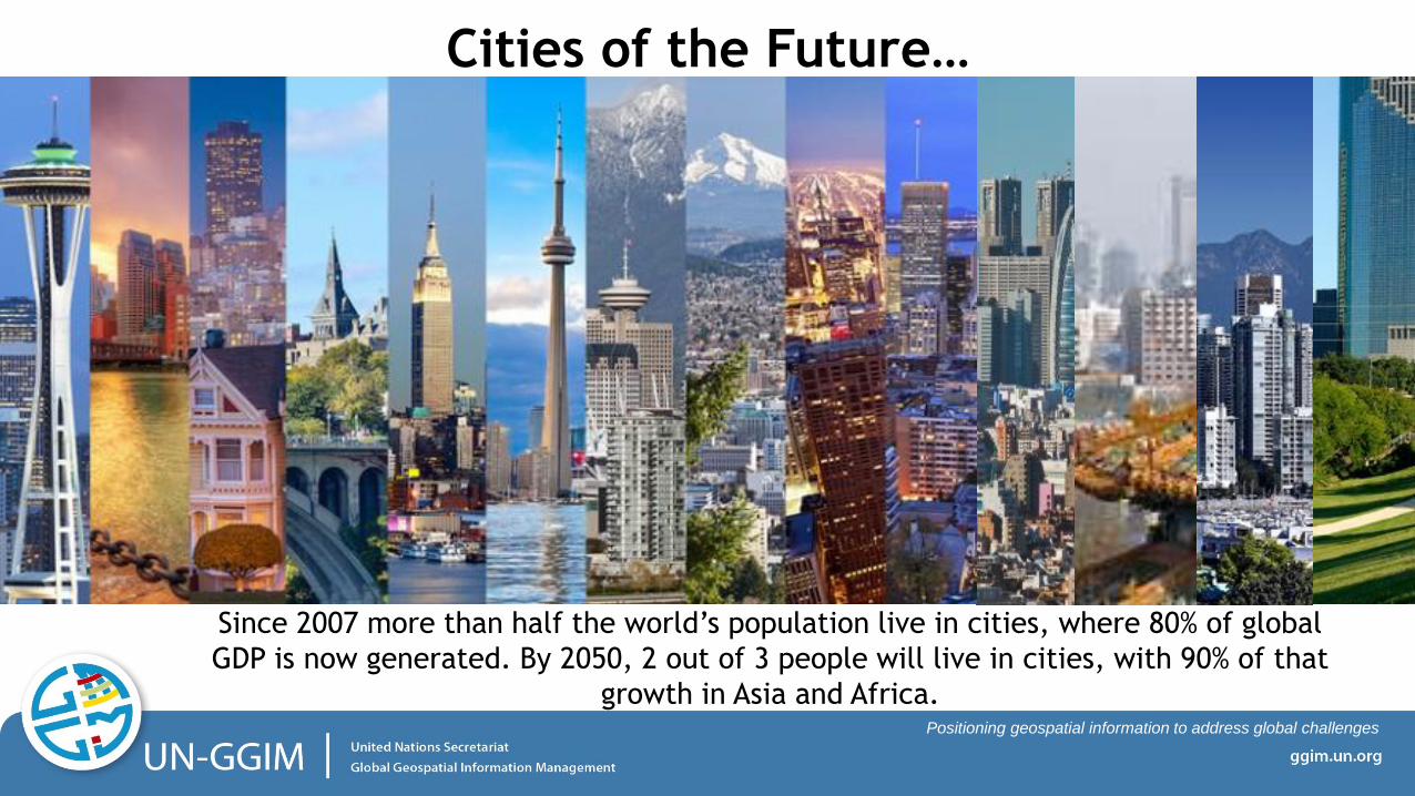
Cities of the Future…
Since 2007 more than half the world’s population live in cities, where 80% of global
GDP is now generated. By 2050, 2 out of 3 people will live in cities, with 90% of that
growth in Asia and Africa.

Positioning geospatial information to address global challenges
Cities of the future will be integrative data ecosystems
generating and consuming massive amounts of data
related to people, their place, and their environment
Positioning geospatial information to address global challenges
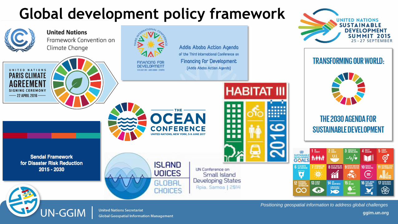
Global development policy framework
Positioning geospatial information to address global challenges
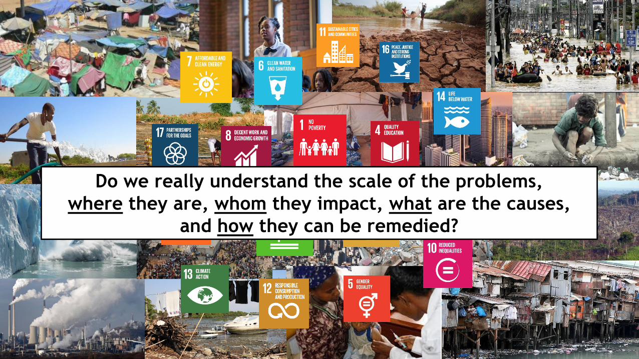
Do we really understand the scale of the problems,
where they are, whom they impact, what are the causes,
and how they can be remedied?
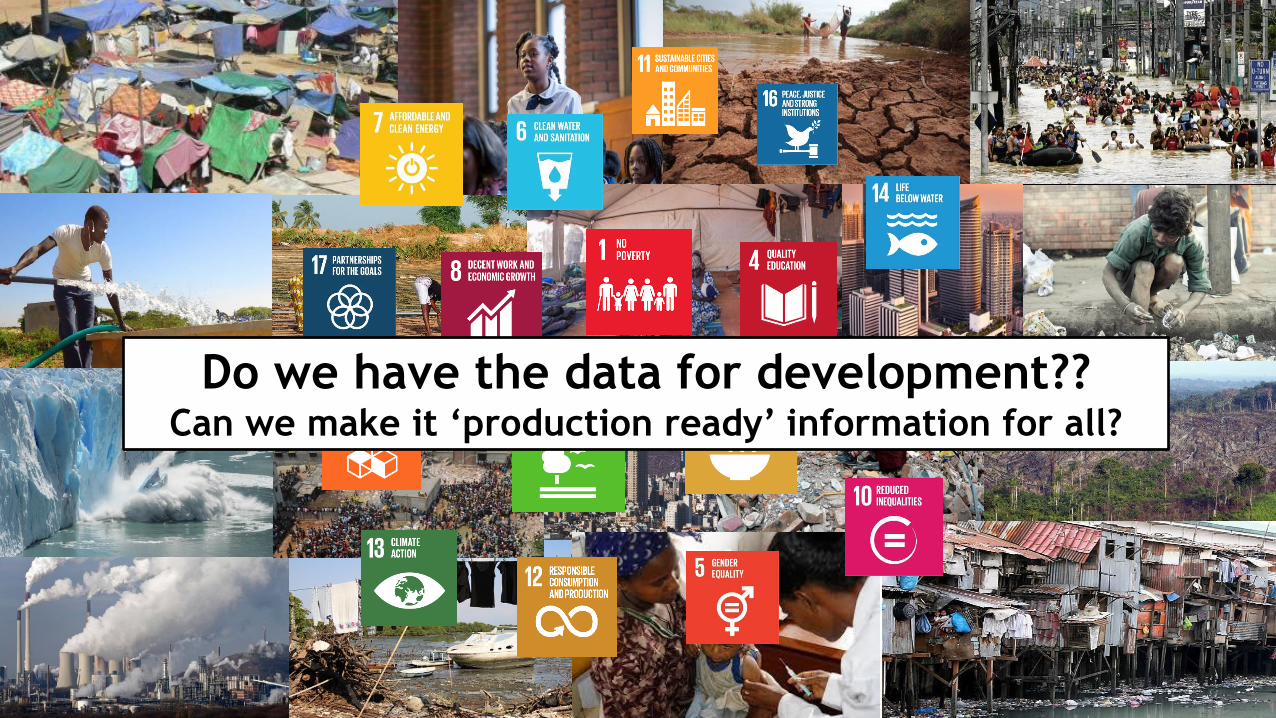
Do we have the data for development?? Can we make it ‘production ready’ information for all?
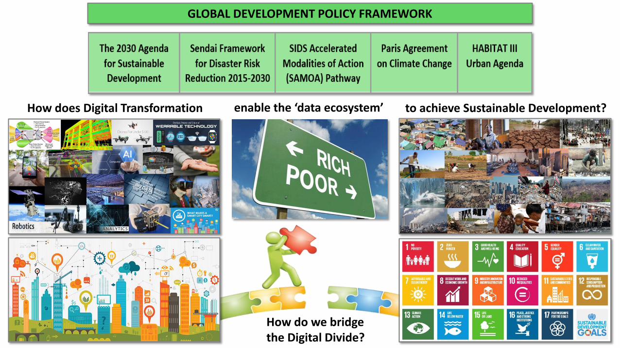
GLOBAL DEVELOPMENT POLICY FRAMEWORK
How do we bridge the Digital Divide?
How does Digital Transformation to achieve Sustainable Development? enable the ‘data ecosystem’
Positioning geospatial information to address global challenges
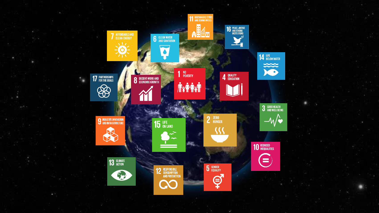
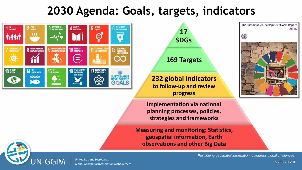
2030 Agenda: Goals, targets, indicators
17 SDGs
169 Targets
232 global indicators to follow-up and review
progress
Implementation via national planning processes, policies, strategies and frameworks
Measuring and monitoring: Statistics, geospatial information, Earth
observations and other Big Data
Positioning geospatial information to address global challenges
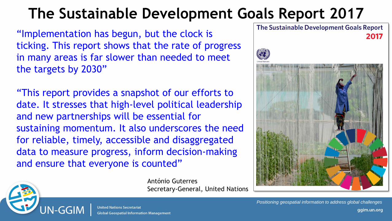
“Implementation has begun, but the clock is
ticking. This report shows that the rate of progress
in many areas is far slower than needed to meet
the targets by 2030”
“This report provides a snapshot of our efforts to
date. It stresses that high-level political leadership
and new partnerships will be essential for
sustaining momentum. It also underscores the need
for reliable, timely, accessible and disaggregated
data to measure progress, inform decision-making
and ensure that everyone is counted”
The Sustainable Development Goals Report 2017
António Guterres
Secretary-General, United Nations
Positioning geospatial information to address global challenges
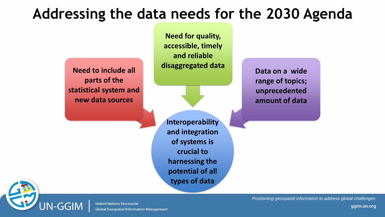
Addressing the data needs for the 2030 Agenda
Positioning geospatial information to address global challenges
• The scope of the 2030 Agenda requires high-quality and disaggregated data that
are timely, open, accessible, understandable and easy to use for a large range of
users, including for decision making at all levels.
• There is a need for a reporting system on the SDGs that would have benefit from
the sub-national (local) to the national level; and allow for global reporting that
builds directly on the data shared by countries.
• Important to create an opportunity for countries to directly contribute to the
global reporting. While the challenges are immense, the digital technology that
is available today allows the necessary transformation.
• An aspiration is to strengthen countries’ national geospatial and statistical
information systems to facilitate and enable a ‘data ecosystem’ that leverages
an accessible, integrative and interoperable local to global system-of-systems.
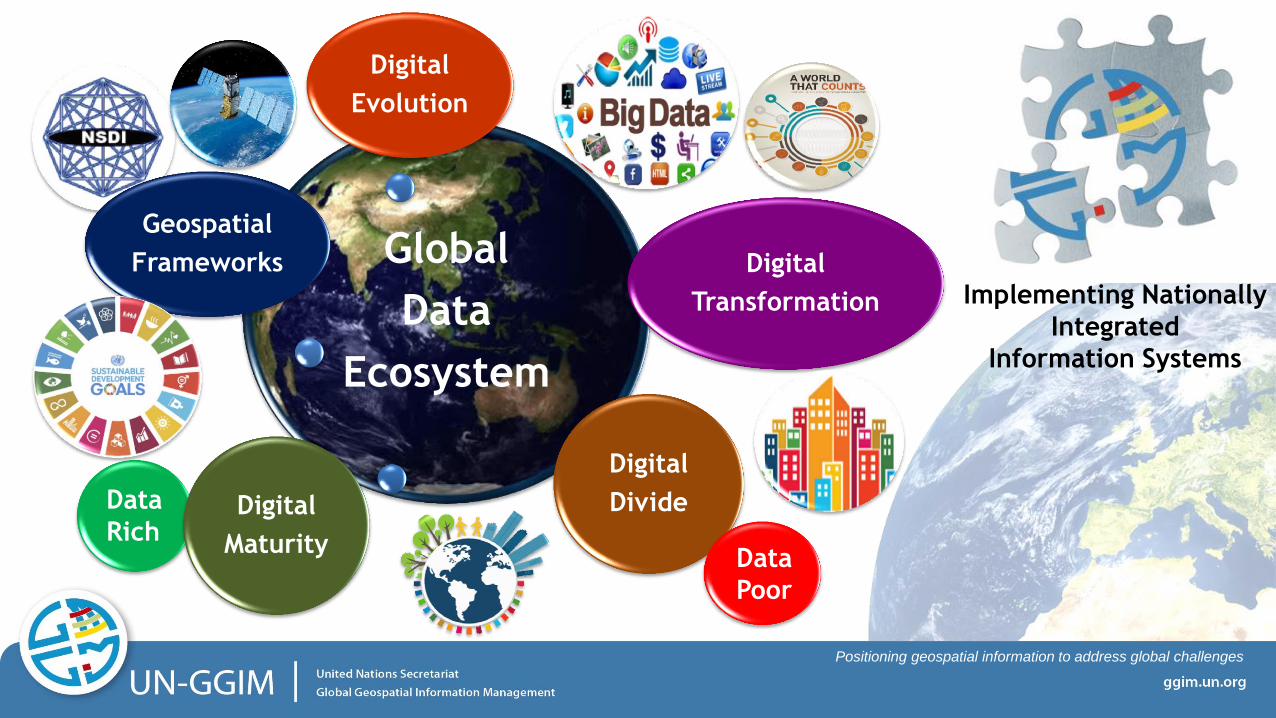
Addressing the data needs for the 2030 Agenda
Positioning geospatial information to address global challenges
Digital
Rich
Implementing Nationally
Integrated
Information Systems
Digital
Poor
Global
Data
Ecosystem
Geospatial
Frameworks Digital
Transformation
Digital
Divide
Digital
Evolution
Digital
Maturity Data
Poor
Data
Rich