To grid or not to grid
10
To Grid or not to Grid? Andrew Zolnai zolnai.ca Geocomm 2017 Wikimedia and andretchaikowsky.com
-
Upload
andrew-zolnai -
Category
Data & Analytics
-
view
173 -
download
1
Transcript of To grid or not to grid
To Grid or not to Grid?
Andrew Zolnai
zolnai.ca
Geocomm 2017
Wikimedia and andretchaikowsky.com

Scalable grids
Proto-GIS (1988) DB2 Spatial (2006)
bit.ly/2xA7q5H

Tesselation grids
Geodyssey (1992) Pyxis (current) what3words
bit.ly/2xWXXX5 bit.ly/2xk29iR map.what3words.com

NADM (2002) Cordilleran geology
Spatial object models
on.doi.gov/2wbdv4Sarcg.is/2waqrYI
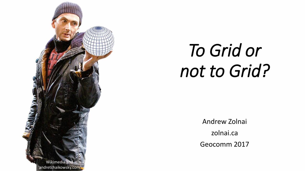
Non spatial addressing
Postal address clean-up
bit.ly/2waZ0y1 bit.ly/2pyNGri

Open standards
bit.ly/2fF9a3O
One of the core contributions of a DGGS is geospatial data fusion on demand. In a multiple provider environment, fusion is only possible with an information system architecture based upon open standards. The OGC DGGS Abstract Specification provides a platform to enable interoperability within and between different DGGS implementations while promoting reusability, knowledge exchange, and choices in the design of individual DGGS implementations.
ow.ly/JeXK30g5EHW

When is a map not a map?
“Real-time mapping without the drift”
bit.ly/1Y8M2bi
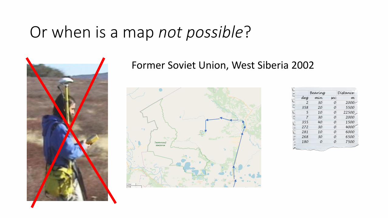
Or when is a map not possible?
Former Soviet Union, West Siberia 2002
Bearing Distance
deg min sec m
2 30 0 2000
358 20 0 5500
5 10 0 22500
7 30 0 2000
355 40 0 1500
272 30 0 4000
281 10 0 6000
268 30 0 6500
180 0 0 7500
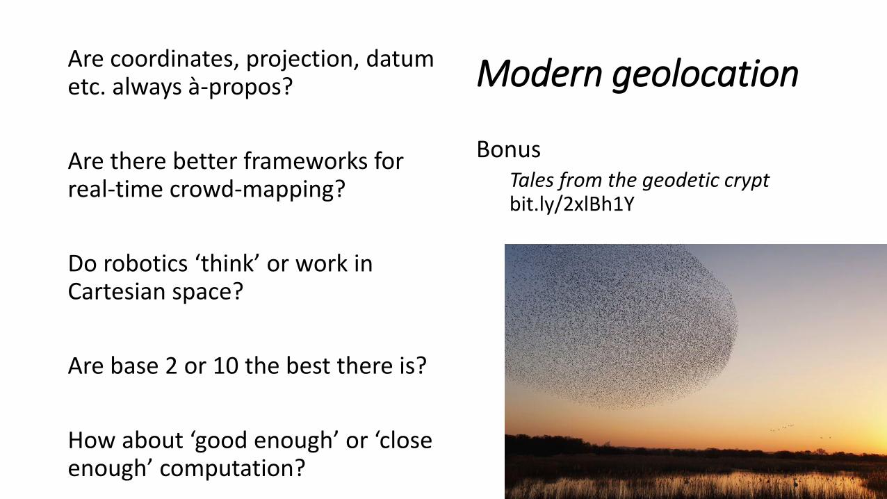
Modern geolocationAre coordinates, projection, datum etc. always à-propos?
Are there better frameworks for real-time crowd-mapping?
Do robotics ‘think’ or work in Cartesian space?
Are base 2 or 10 the best there is?
How about ‘good enough’ or ‘close enough’ computation?
BonusTales from the geodetic cryptbit.ly/2xlBh1Y
Thank you!
Questions?
Andrew Zolnai
@azolnai