The United States: by Regions The Western States Landforms –Pacific Ranges Sierra Nevada Cascade...
14
-
Upload
barnard-pope -
Category
Documents
-
view
215 -
download
1
Transcript of The United States: by Regions The Western States Landforms –Pacific Ranges Sierra Nevada Cascade...


The United States: by Regions

The Western States• Landforms
– Pacific Ranges
• Sierra Nevada• Cascade• Coastal • Alaska Range• Highest peak
– Mount McKinley» Alaska
– Rocky Mts• Link Canada and U.S.

• In between Mts.– Grand Canyon– Columbia Plateau– Great Basin
• Death Valley: hottest and lowest place in U.S.
• Water– Continental Divide
• Follow the Rockies, determine direction rivers flow
– Colorado River• Source in Rockies
– Rio Grande• Source in Rockies
• Economic Resources– Minerals– Fishing– Livestock– Farming

• Climate– Mid-Latitude:
• Marine West Coastal• Mediterranean
(California)
– Desert • Mojave and
Chihuahua
– Highland• b/c of elevation of
the Rockies• Timberline:
• Population Centers– Pacific Coast
• Pleasant climate, many natural resources/eco opp
• California is most populated state
– Megalopolis: “great city”• San Francisco-Los Angeles-San Diego
– All have major ports– The “Bay Area”– Northern California Megaregion
• Seattle– Major port
• Silicon Valley– San Francisco Bay area

The Midwest
• Landforms– Great Plains
• Water– Great Lakes– Mississippi River
• Resources– Farming
• “Wheat Belt”: Great Plain and Canadian Prairies• “Corn Belt”: Ohio-Nebraska• Dairyland: New York State to Minnesota
– Traditional region for dairy farmers

• Climate (Great Plains)– Humid Continental
• Bitter cold winters, hot summers• Super Cells/ Tornadoes
• Vegetation: Prairie– Tall grasses, no trees– Dust Bowl
• 1930s, caused by drought and poor farming techniques
• Top soil b/cme barren wasteland• Same time as Great Depression

• Population Centers– Detroit
• Center of car manufacturing industry
– Chicago, Milwaukee, Cleveland, Pittsburg• Connect to Ohio River
• Least populated areas– Arid parts of Great plains
• Rust Belt– Cities near Great Lakes
• Buffalo, Detroit, Cleveland, etc.
– Traditional manufacturing centers, loose $ and people when business move South

The South
• Landforms– Coastal Plains– Appalachians Mts
• Water– Mississippi River– Rio Grande– Gulf Intracoastal Waterway
• Connect FL to TX w/ Miss Rvr
• Resources– Fuel (oil and natural gas)– Farming
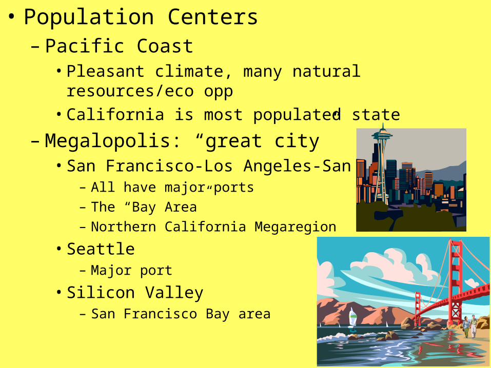
• Climate– Humid subtropical
• Long muggy summers, mild winter
– Hurricanes
• Wetlands/Swamps – Florida
• Region: “Sunbelt”• Southern states• Mild climate• Fastest growing pop. Area• Draw many immigrants b/c close to Mexico and Caribbean

• Population Centers– Miami– New Orleans– Texas Triangle: Houston, D/FW, San Antonio
• Megalopolis

The Northeast• Landforms
– Appalachian Mts• From Quebec to Alabama• Fall Line:_________________________
– Adirondack Mts– Islands: Manhattan
• Water– St. Lawrence River– Great Lakes
• Great Lakes-St. Lawrence Seaway: connect to Atlantic Ocean
– Niagara Falls• Source of hydroelectric power for both
U.S. and Canada

• Resources– Fishing– Timber– Financial Center of U.S.
• Climate– Humid Continental
• Hot summers, Cold Winters• Winter Blizzards
• Population Centers– “BosWash”
• Boston-New York-Washington, D.C.-Philadelphia-Baltimore• North East Corridor