The Two Types of GeographyThe Two Types of Geography · The Two Types of GeographyThe Two Types of...
30
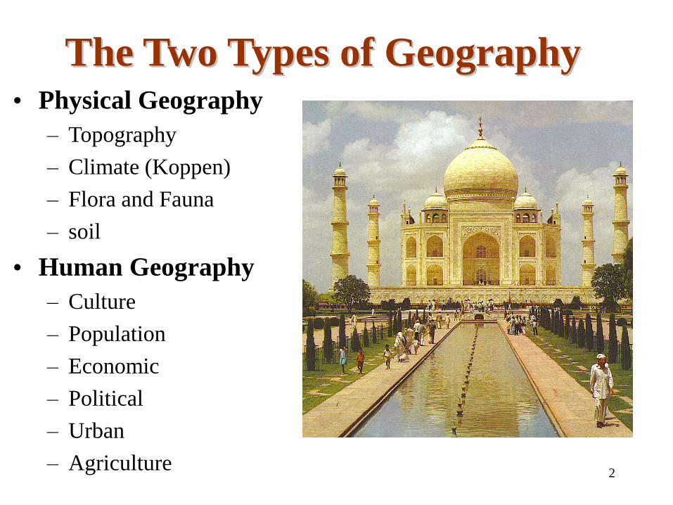
2 The Two Types of Geography The Two Types of Geography • Physical Geography – Topography – Climate (Koppen) – Flora and Fauna – soil • Human Geography – Culture – Population – Economic – Political – Urban – Agriculture
Transcript of The Two Types of GeographyThe Two Types of Geography · The Two Types of GeographyThe Two Types of...
2
The Two Types of GeographyThe Two Types of Geography• Physical Geography
– Topography
– Climate (Koppen)
– Flora and Fauna
– soil
• Human Geography
– Culture
– Population
– Economic
– Political
– Urban
– Agriculture
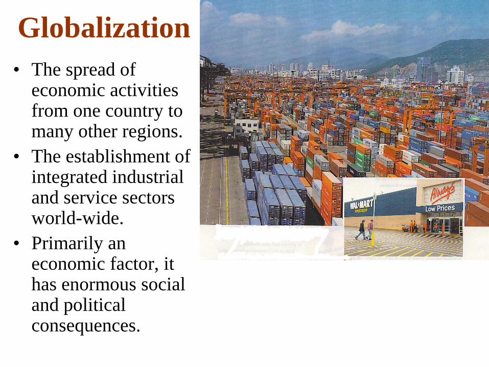
Globalization
• The spread of economic activities from one country to many other regions.
• The establishment of integrated industrial and service sectors world-wide.
• Primarily an economic factor, it has enormous social and political consequences.
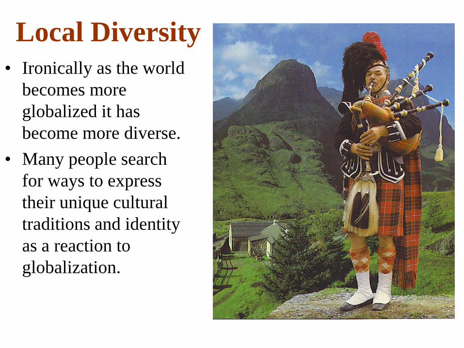
Local Diversity
• Ironically as the world
becomes more
globalized it has
become more diverse.
• Many people search
for ways to express
their unique cultural
traditions and identity
as a reaction to
globalization.
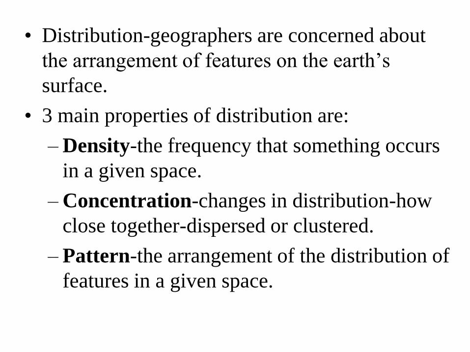
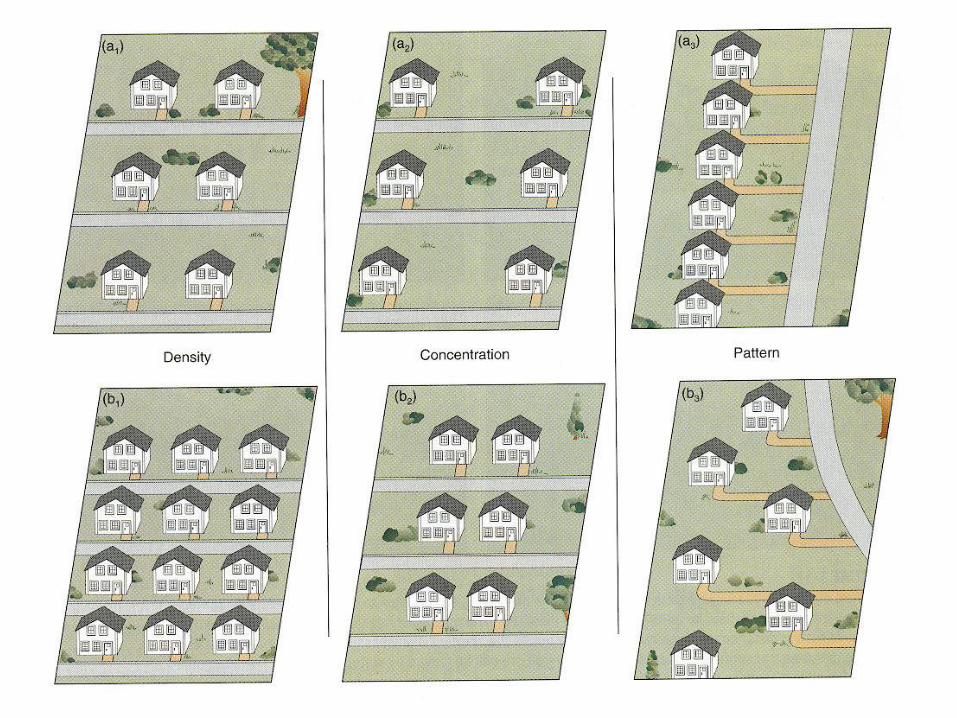
• Distribution-geographers are concerned about
the arrangement of features on the earth’s
surface.
• 3 main properties of distribution are:
– Density-the frequency that something occurs
in a given space.
– Concentration-changes in distribution-how
close together-dispersed or clustered.
– Pattern-the arrangement of the distribution of
features in a given space.
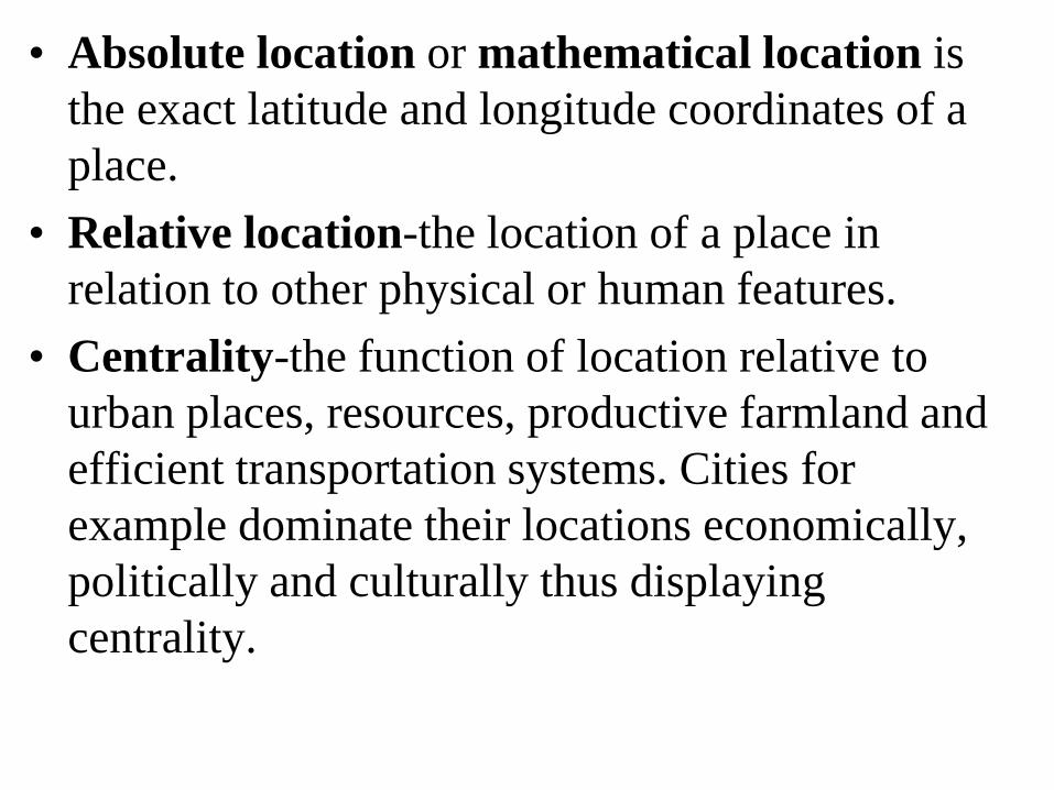
• Absolute location or mathematical location is
the exact latitude and longitude coordinates of a
place.
• Relative location-the location of a place in
relation to other physical or human features.
• Centrality-the function of location relative to
urban places, resources, productive farmland and
efficient transportation systems. Cities for
example dominate their locations economically,
politically and culturally thus displaying
centrality.
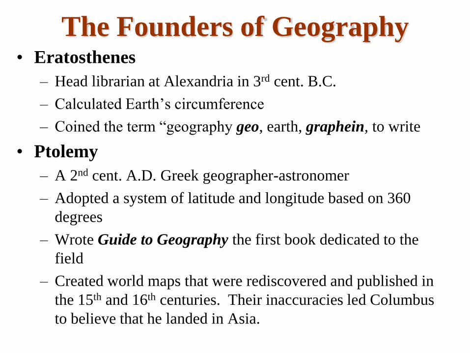
The Founders of Geography• Eratosthenes
– Head librarian at Alexandria in 3rd cent. B.C.
– Calculated Earth’s circumference
– Coined the term “geography geo, earth, graphein, to write
• Ptolemy
– A 2nd cent. A.D. Greek geographer-astronomer
– Adopted a system of latitude and longitude based on 360
degrees
– Wrote Guide to Geography the first book dedicated to the
field
– Created world maps that were rediscovered and published in
the 15th and 16th centuries. Their inaccuracies led Columbus
to believe that he landed in Asia.
The Founders of Geography• Immanuel Kant (1724-1804)
– German philosopher who helped to bring about the formal
study of Geography.
– His belief in the intellectual importance of geography helped
to establish it as a formal discipline.
– He said if it involved time it was History and if it involved
place it was Geography.
• Alexander von Humboldt (1769-1859)
– Famous German scientists who traveled extensively and
wrote about the connection of the physical and cultural
environment-paid attention to spatial patterns & cause and
effect.
– Considered the founder of modern geography
The Founders of Geography•Friedrich Ratzel (1844-1904)
–German geographer who wrote helped introduce environmental
determinism and geopolitics.
•Ellen Churchill Semple (1863-1932)
–A student of Ratzel, she brought his ideas to the U.S.
–Believed that religions were a product of their physical environment
•Ellsworth Huntington (1876-1947)
–Taught Geography at Yale (1907-1917)
–Stated that temperate climates influenced the development of
civilization and economic success.
–His assertions were a justification for the imperialism of the late 19th
and early 20th century.
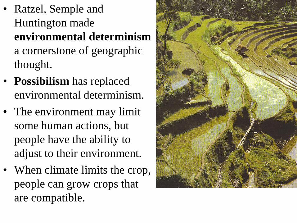
• Ratzel, Semple and
Huntington made
environmental determinism
a cornerstone of geographic
thought.
• Possibilism has replaced
environmental determinism.
• The environment may limit
some human actions, but
people have the ability to
adjust to their environment.
• When climate limits the crop,
people can grow crops that
are compatible.
• In the 1980s the National Geographic Society created
the Five Themes of Geography
– Location-absolute (latitude and longitude) and
absolute location.
– Place-the distinctive physical and human
characteristics of a place.
– Human-Environmental Interaction-how people
interact with their environment.
– Movement-the mobility of people, goods and ideas-
the patterns and change in human spatial
interactions-accessibility & connectivity of places.
– Regions-an area that displays a selected criteria-one
or more distinctive characteristics.
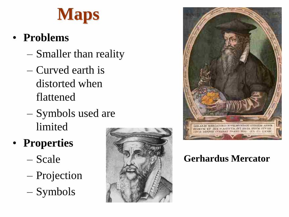
Maps
• Problems
– Smaller than reality
– Curved earth is
distorted when
flattened
– Symbols used are
limited
• Properties
– Scale
– Projection
– Symbols
Gerhardus Mercator
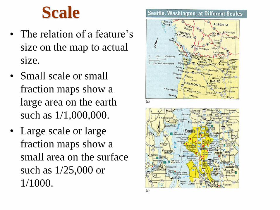
Scale
• The relation of a feature’s
size on the map to actual
size.
• Small scale or small
fraction maps show a
large area on the earth
such as 1/1,000,000.
• Large scale or large
fraction maps show a
small area on the surface
such as 1/25,000 or
1/1000.
Thematic Maps
• Isoline Maps-use lines of equal value to represent data
like elevation, barometric pressure or temperature
• Choropleth Maps-a thematic map in which a variable
is depicted with shading patterns or colors.
• Proportional Symbol Map-a thematic map in which
the size of the symbol varies in proportion to the
intensity of the mapped variable.
• Dot Map-a thematic map in which a dot represents
some frequency of the mapped variable.
• Cartogram-a thematic map using relative size of
political units to convey a value.
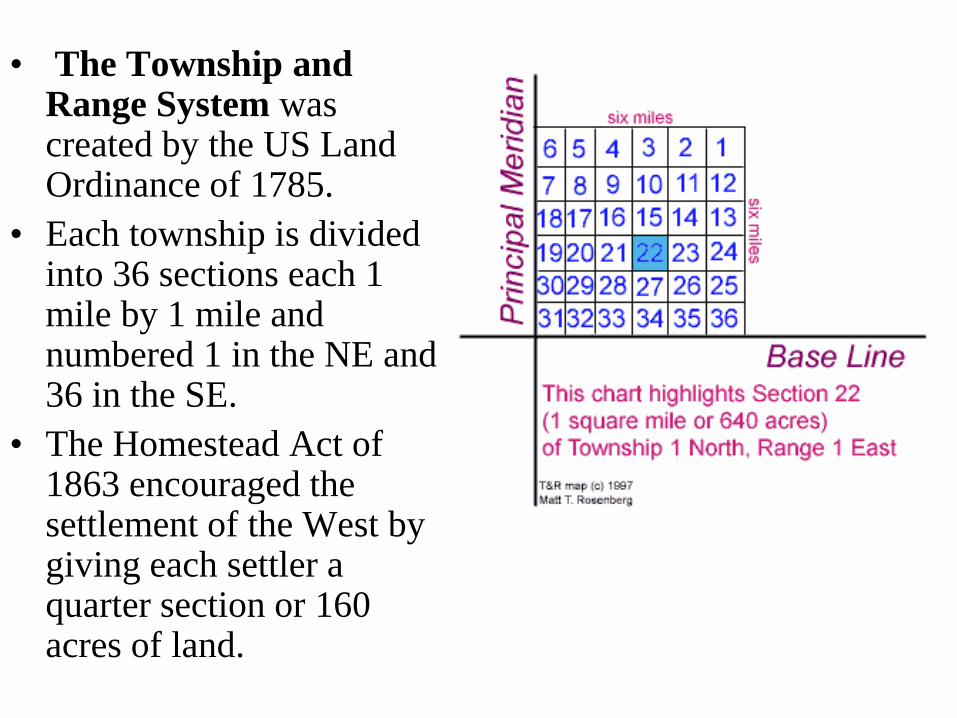
• The Township and Range System was created by the US Land Ordinance of 1785.
• Each township is divided into 36 sections each 1 mile by 1 mile and numbered 1 in the NE and 36 in the SE.
• The Homestead Act of 1863 encouraged the settlement of the West by giving each settler a quarter section or 160 acres of land.
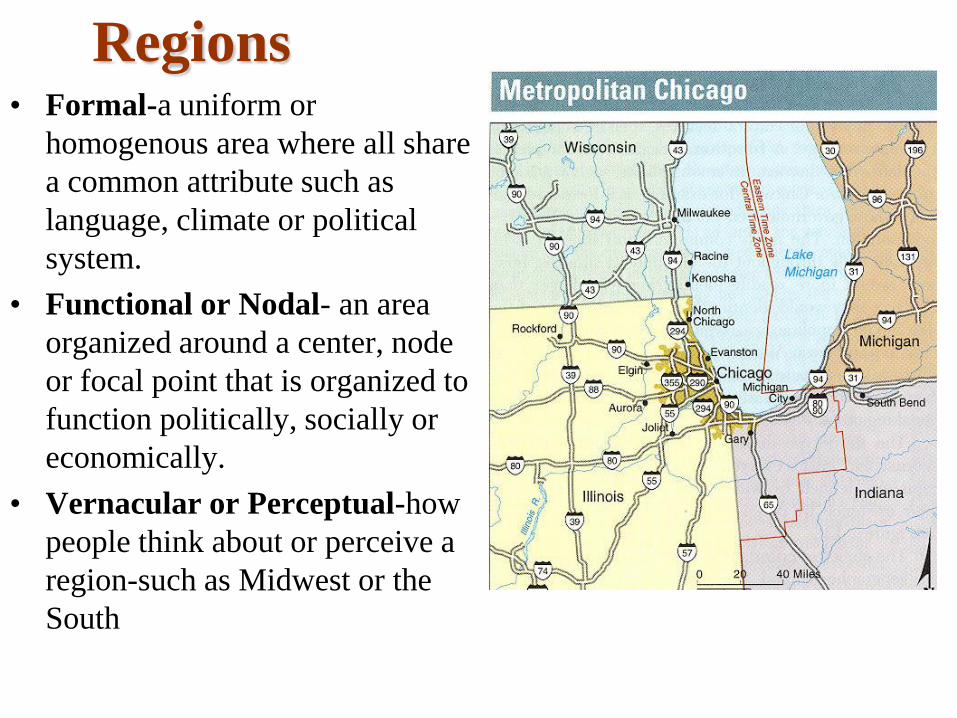
Regions • Formal-a uniform or
homogenous area where all share
a common attribute such as
language, climate or political
system.
• Functional or Nodal- an area
organized around a center, node
or focal point that is organized to
function politically, socially or
economically.
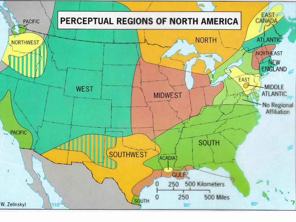
• Vernacular or Perceptual-how
people think about or perceive a
region-such as Midwest or the
South
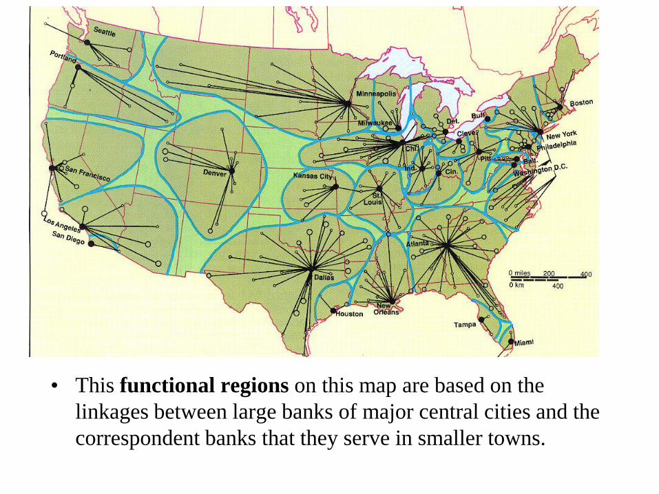
• This functional regions on this map are based on the
linkages between large banks of major central cities and the
correspondent banks that they serve in smaller towns.
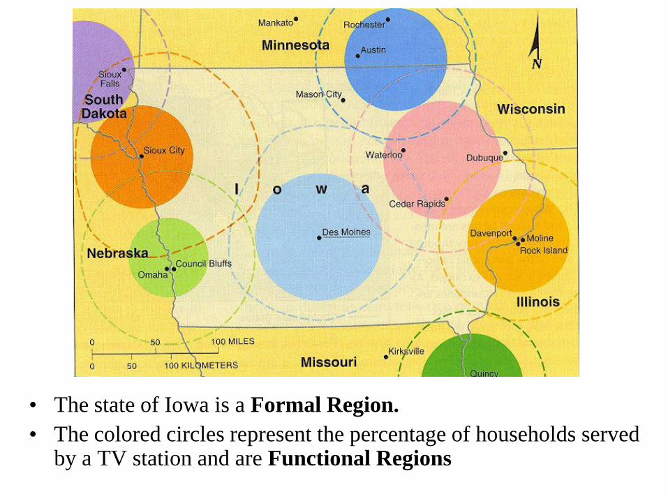
• The state of Iowa is a Formal Region.
• The colored circles represent the percentage of households served by a TV station and are Functional Regions
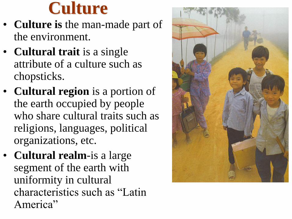
Culture• Culture is the man-made part of
the environment.
• Cultural trait is a single attribute of a culture such as chopsticks.
• Cultural region is a portion of the earth occupied by people who share cultural traits such as religions, languages, political organizations, etc.
• Cultural realm-is a large segment of the earth with uniformity in cultural characteristics such as “Latin America”
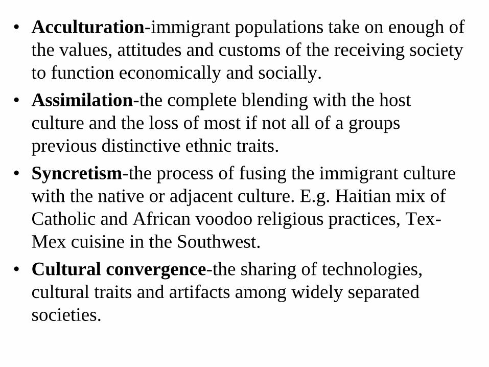
• Acculturation-immigrant populations take on enough of
the values, attitudes and customs of the receiving society
to function economically and socially.
• Assimilation-the complete blending with the host
culture and the loss of most if not all of a groups
previous distinctive ethnic traits.
• Syncretism-the process of fusing the immigrant culture
with the native or adjacent culture. E.g. Haitian mix of
Catholic and African voodoo religious practices, Tex-
Mex cuisine in the Southwest.
• Cultural convergence-the sharing of technologies,
cultural traits and artifacts among widely separated
societies.
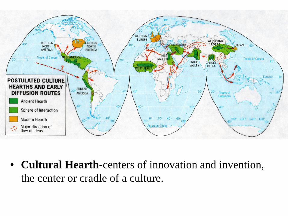
• Cultural Hearth-centers of innovation and invention,
the center or cradle of a culture.
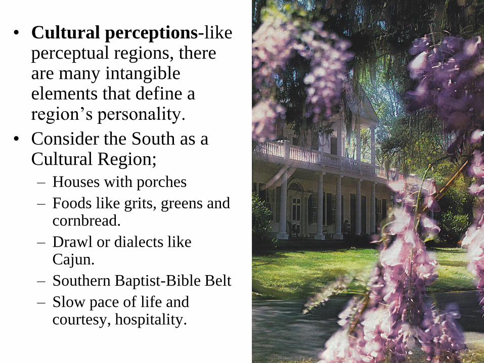
• Cultural perceptions-like perceptual regions, there are many intangible elements that define a region’s personality.
• Consider the South as a Cultural Region;
– Houses with porches
– Foods like grits, greens and cornbread.
– Drawl or dialects like Cajun.
– Southern Baptist-Bible Belt
– Slow pace of life and courtesy, hospitality.
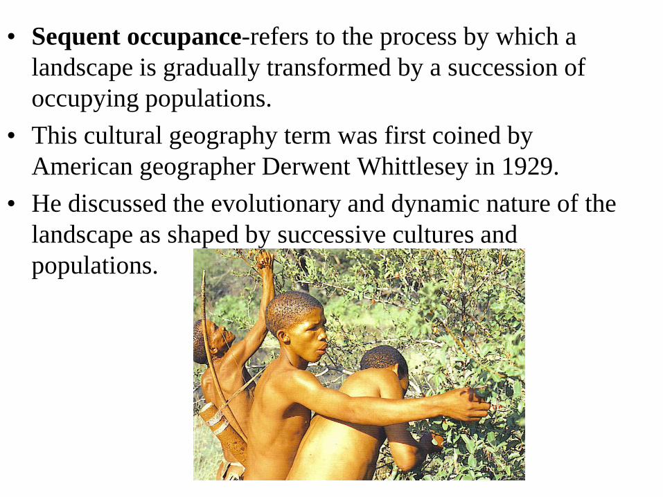
• Sequent occupance-refers to the process by which a
landscape is gradually transformed by a succession of
occupying populations.
• This cultural geography term was first coined by
American geographer Derwent Whittlesey in 1929.
• He discussed the evolutionary and dynamic nature of the
landscape as shaped by successive cultures and
populations.
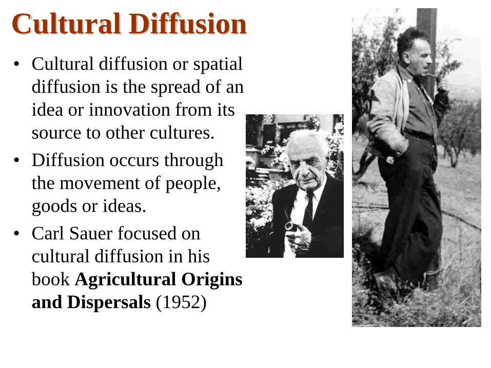
Cultural Diffusion
• Cultural diffusion or spatial
diffusion is the spread of an
idea or innovation from its
source to other cultures.
• Diffusion occurs through
the movement of people,
goods or ideas.
• Carl Sauer focused on
cultural diffusion in his
book Agricultural Origins
and Dispersals (1952)
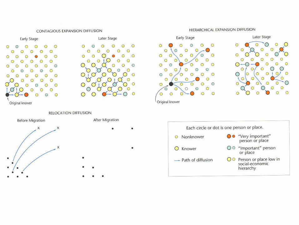
Types of Diffusion• There are two main types of Diffusion:
• Expansion Diffusion
– The spread of an item or idea from one place to others. In the
process it remains and often strengthens in the origin area.
• Contagious diffusion-rapid widespread diffusion by direct contact.
Affects all areas uniformly as it spreads outward. E.g. the spread of
Islam.
• Hierarchical diffusion-or cascade diffusion-the process of spreading
ideas first between large cities and only later to smaller cities.
• Stimulus diffusion-the spread of an underlying principle even though
the main idea is not spread. E.g. industrialization
• Relocation Diffusion
– The innovation or idea is physically carried to new areas by
migrating individuals or populations. E.g. Christianity brought
to the New World by missionaries and colonists.
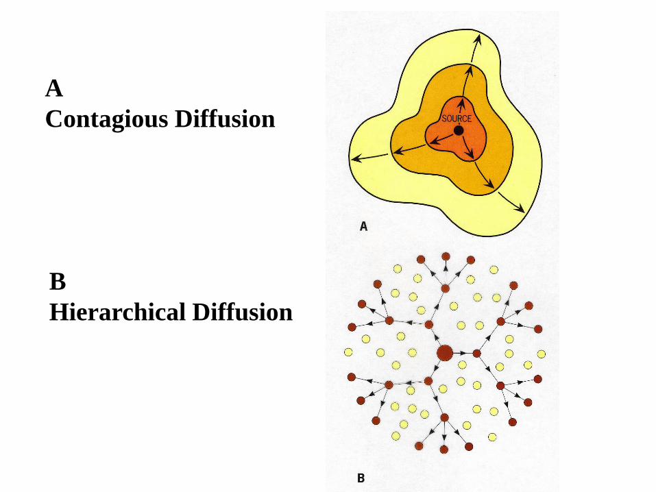
A
Contagious Diffusion
B
Hierarchical Diffusion
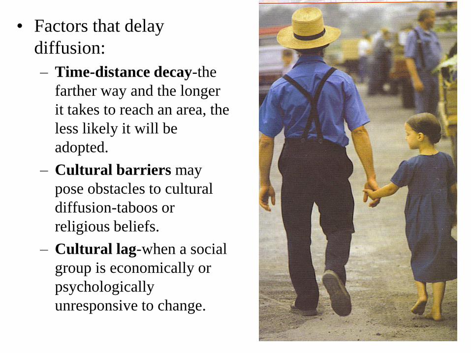
• Factors that delay
diffusion:
– Time-distance decay-the
farther way and the longer
it takes to reach an area, the
less likely it will be
adopted.
– Cultural barriers may
pose obstacles to cultural
diffusion-taboos or
religious beliefs.
– Cultural lag-when a social
group is economically or
psychologically
unresponsive to change.