Water Decisions for Sustainability of the Arbuckle-Simpson Aquifer

The Role of Science
in Managing the
Arbuckle-Simpson Aquifer
Noel Osborn

Early Statehood
Scientific Understanding:Underground water
Question: Where is the water?
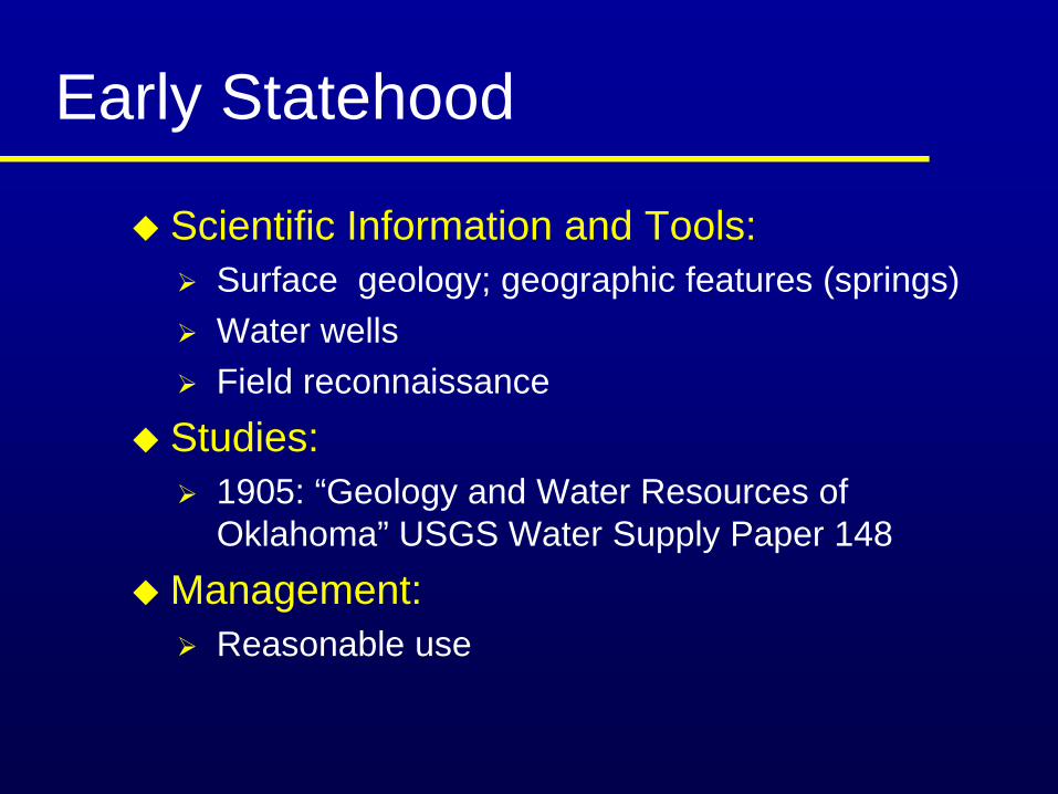
Early Statehood
Scientific Information and Tools: Surface geology; geographic features (springs)Water wellsField reconnaissance
Studies: 1905: “Geology and Water Resources of Oklahoma” USGS Water Supply Paper 148
Management:Reasonable use
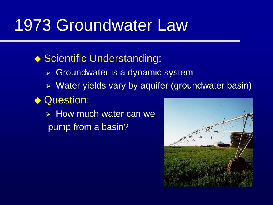
1973 Groundwater Law
Scientific Understanding:Groundwater is a dynamic systemWater yields vary by aquifer (groundwater basin)
Question: How much water can we
pump from a basin?

1973 Groundwater Law
Scientific Information and Tools: Aquifer properties, recharge, and dischargeComputer models
Studies:1978: Hydrologic Investigation of the Tillman Terrace Groundwater Basin
Management:Maximum Annual Yield

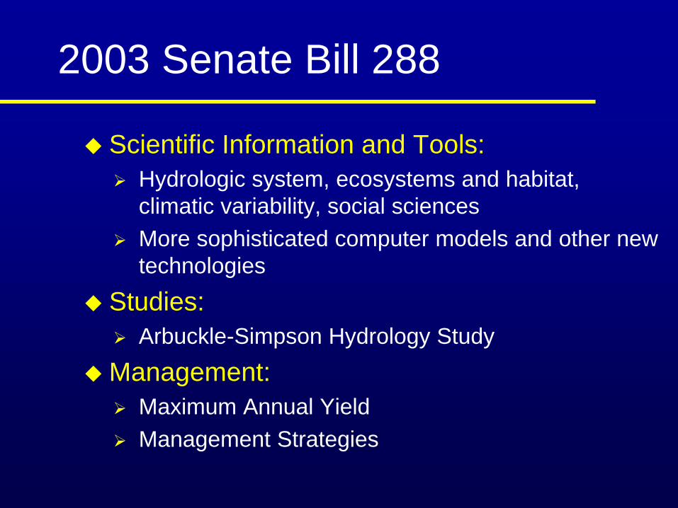
2003 Senate Bill 288
Scientific Understanding: Groundwater withdrawals can impact surface water flow and the environment
Question: How much water can we pump without reducing the natural flow of streams?
2003 Senate Bill 288
Scientific Information and Tools: Hydrologic system, ecosystems and habitat, climatic variability, social sciencesMore sophisticated computer models and other new technologies
Studies: Arbuckle-Simpson Hydrology Study
Management:Maximum Annual YieldManagement Strategies

Major Aquifers in Oklahoma
Arbuckle-Simpson

Oil Creek
Rock
Cre
ek
Pennington Creek
Mill C
reek
Blue River
Delaware CreekH
one y Cree
k
Wash i ta River
§̈¦I-35
Roff
Davis Sulphur
Fittstown
Arbuckle-Simpson Aquifer Outcrop

Sulphur Springs

Artesian Wells
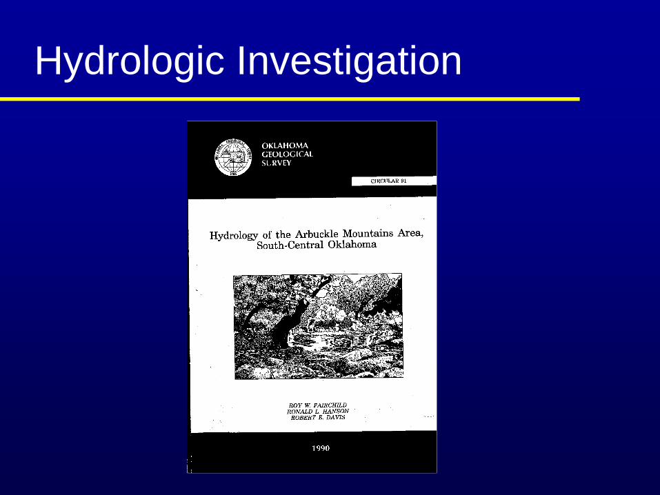
Hydrologic Investigation
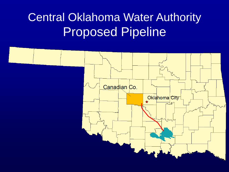
Central Oklahoma Water AuthorityProposed Pipeline

Senate Bill 288
Moratorium Conducts and completes a hydrological studyApproves a maximum annual yield that will not reduce the natural flow of water from springs or streams emanating from the basin


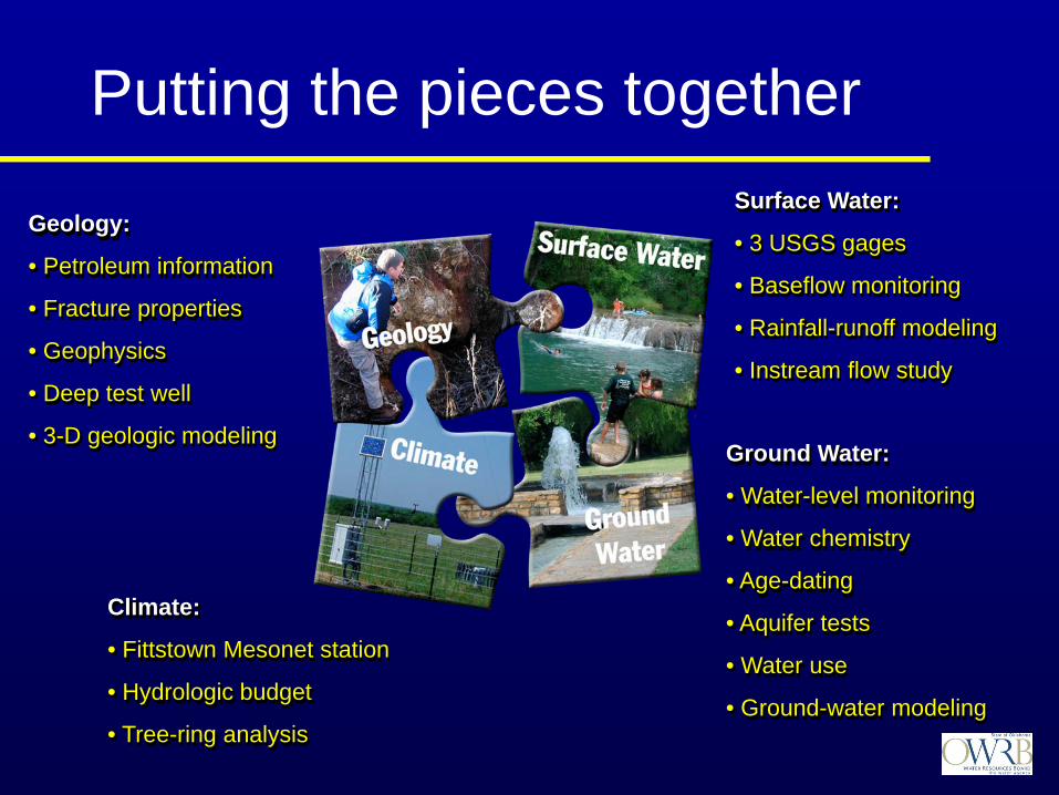
Ground Water:
• Water-level monitoring
• Water chemistry
• Age-dating
• Aquifer tests
• Water use
• Ground-water modeling
Geology:
• Petroleum information
• Fracture properties
• Geophysics
• Deep test well
• 3-D geologic modeling
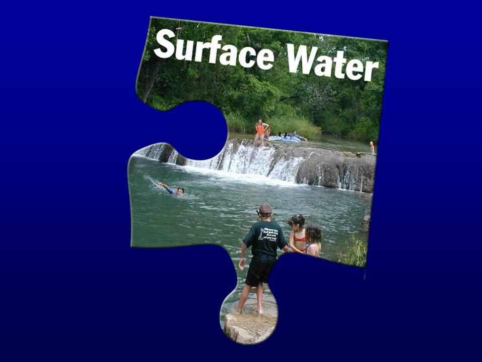
Surface Water:
• 3 USGS gages
• Baseflow monitoring
• Rainfall-runoff modeling
• Instream flow study
Climate:
• Fittstown Mesonet station
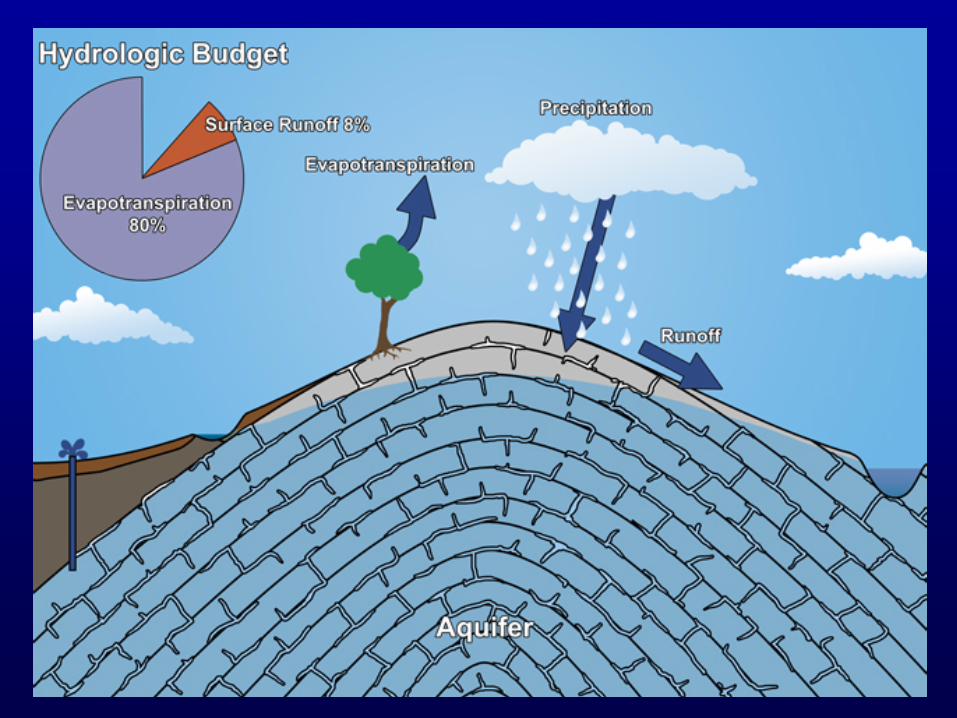
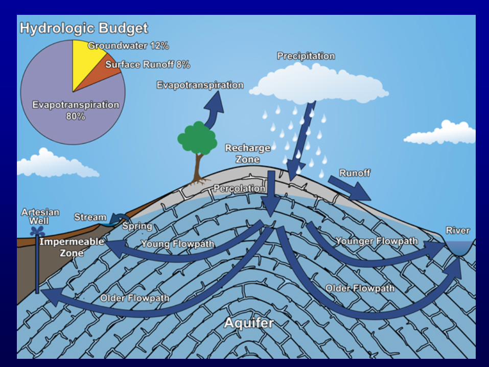
• Hydrologic budget
• Tree-ring analysis
Putting the pieces together


Line OK-3-80 Reprocessed (~ 1 sec data displayed)

Geophysical Data

3D Geologic Model


Fittstown Mesonet StationTemperatureRainfallHumidityWind SpeedWind DirectionBarometric PressureSolar RadiationSoil TemperatureSoil MoistureGround-Water Elevation

5.84 in rain+19 ft
5.06 in rain+2 ft
5.84 in rain+19 ft water level 5.06 in rain
+2 ft
-24 ft
+26 ft


Reconstructed Streamflow: Blue River near Blue
0
2000
4000
6000
8000
10000
12000
14000
16000
18000
1700 1725 1750 1775 1800 1825 1850 1875 1900 1925 1950 1975 2000
Years
Stre
amflo
w (c
fs)
"Streamflow (cfs)
10 per. Mov. Avg. ("Streamflow(cfs))


Geochemical Study
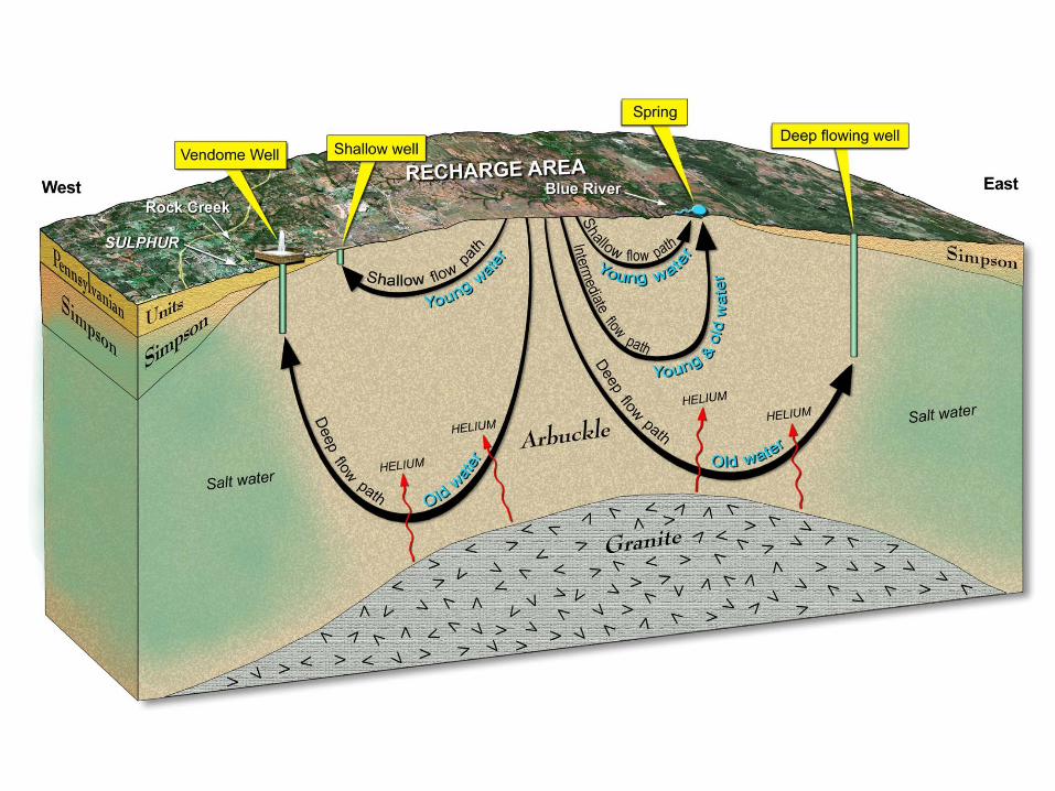

Vendome Well
10,500 years old (Carbon-14)44oF (dissolved argon, neon, and xenon)
99% freshwater1% brineLong, deep flow paths(excess helium)

Rainfall-Runoff Model
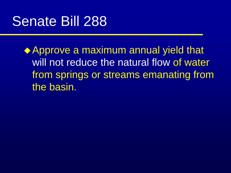
Approve a maximum annual yield that will not reduce the natural flow of water from springs or streams emanating from the basin.
Senate Bill 288

Streamflow Criteria
Fish and habitatWater rightsRecreationFrequency and duration of droughts
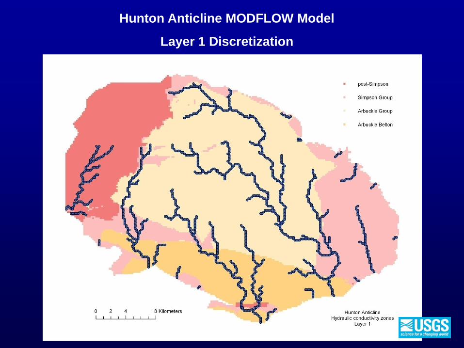
Hunton Anticline MODFLOW Model
Layer 1 Discretization

Equal Proportionate Share Each groundwater user is entitled to withdraw an equal share of water proportional to the amount of land owned.
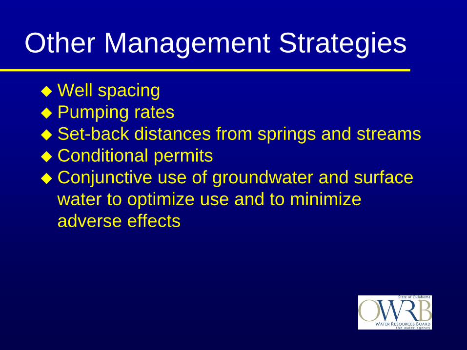
Well spacing Pumping ratesSet-back distances from springs and streamsConditional permitsConjunctive use of groundwater and surface water to optimize use and to minimize adverse effects
Other Management Strategies

Geology
Climate
UsesPolicy
Legal
Administrative
Law ?
Monitoring
Decision
Hydrology
Surface Water
Ground Water
HabitatWater Rights
Decision
Decision
HydrologyClimate
GeologyGround Water
Surface Water
Streamflow
ClimateHabitat
Water RightsOther
Legal Policy
ValuesAdministrative
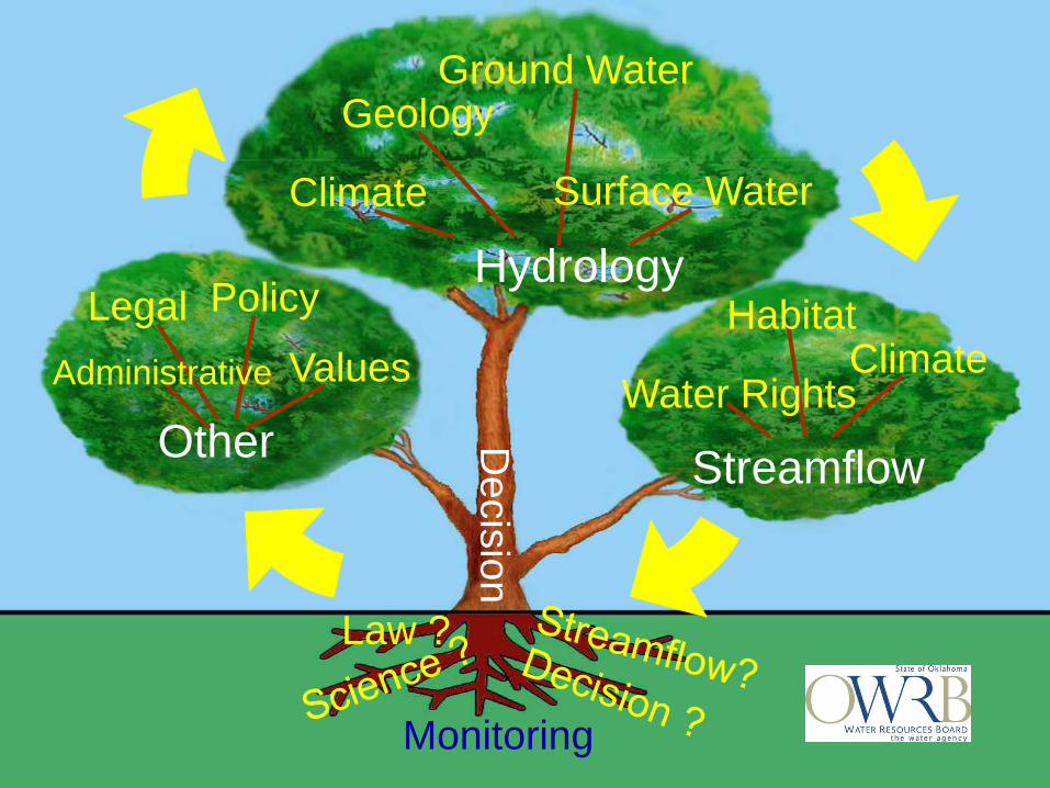
Geology
Climate
UsesPolicy
Legal
Administrative
Law ?
Monitoring
Decision
Hydrology
Surface Water
Ground Water
HabitatWater Rights
Decision
Decision
HydrologyClimate
GeologyGround Water
Surface Water
Streamflow
ClimateHabitat
Water RightsOther
Legal Policy
ValuesAdministrative
Law ?
Monitoring

Provide a conceptual model of the aquifer systemPredict consequences of various management strategiesEvaluate methodologies and new technologies to address specific problemsMonitor the systemInform
Role of Science in Managing the Arbuckle-Simpson Aquifer

Challenges & OpportunitiesWater Supply
& Economic Development
Environment