The Importance of Crop Insurance and Precision Agriculture using GIS By: Heather Haken.
26
The Importance of Crop Insurance and Precision Agriculture using GIS By: Heather Haken
-
date post
19-Dec-2015 -
Category
Documents
-
view
215 -
download
0
Transcript of The Importance of Crop Insurance and Precision Agriculture using GIS By: Heather Haken.
The Importance of Crop Insurance and Precision Agriculture using GIS
By: Heather Haken
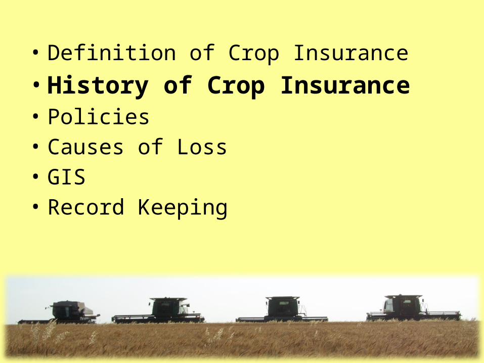
Outline
• Definition of Crop Insurance • History of Crop Insurance • Policies• Causes of Loss • GIS • Record Keeping

Definition of Crop Insurance • A contract of indemnity by which, for a
specified premium, one party promises to reimburse another for the financial loss acquired by the destruction of agricultural products from the forces of nature, such as rain, hail, frost, or insect infestation.
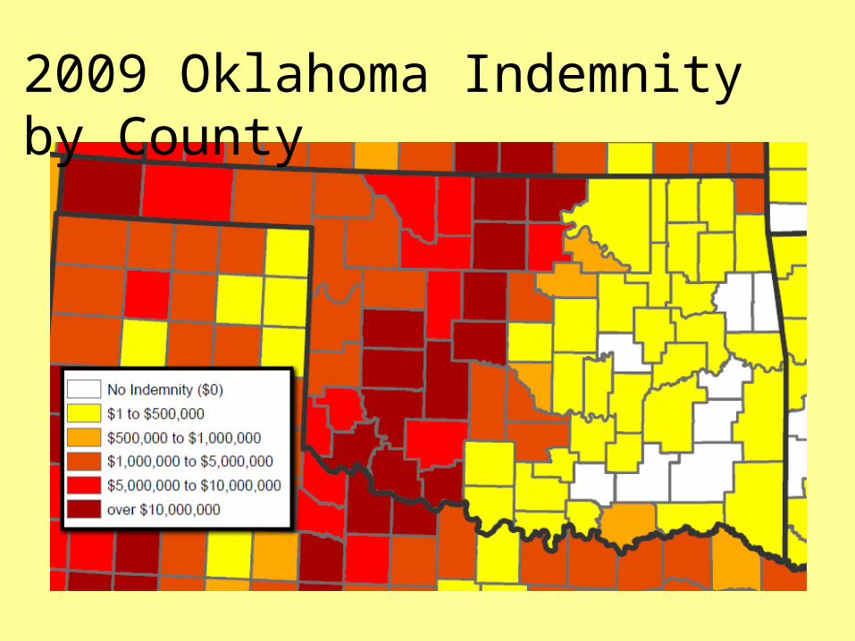
2009 Oklahoma Indemnity by County
• Definition of Crop Insurance • History of Crop Insurance • Policies• Causes of Loss • GIS • Record Keeping
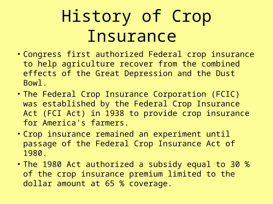
History of Crop Insurance
• Congress first authorized Federal crop insurance to help agriculture recover from the combined effects of the Great Depression and the Dust Bowl.
• The Federal Crop Insurance Corporation (FCIC) was established by the Federal Crop Insurance Act (FCI Act) in 1938 to provide crop insurance for America's farmers.
• Crop insurance remained an experiment until passage of the Federal Crop Insurance Act of 1980.
• The 1980 Act authorized a subsidy equal to 30 % of the crop insurance premium limited to the dollar amount at 65 % coverage.
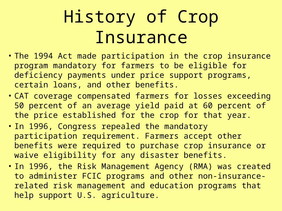
History of Crop Insurance
• The 1994 Act made participation in the crop insurance program mandatory for farmers to be eligible for deficiency payments under price support programs, certain loans, and other benefits.
• CAT coverage compensated farmers for losses exceeding 50 percent of an average yield paid at 60 percent of the price established for the crop for that year.
• In 1996, Congress repealed the mandatory participation requirement. Farmers accept other benefits were required to purchase crop insurance or waive eligibility for any disaster benefits.
• In 1996, the Risk Management Agency (RMA) was created to administer FCIC programs and other non-insurance-related risk management and education programs that help support U.S. agriculture.

Why Crop Insurance ?• Loan Security for lender
• Risk Management for producer
• Flexibility and Confidence to market crops
• The only true source of the bottom line protection

• Definition of Crop Insurance • History of Crop Insurance • Policies• Causes of Loss • GIS • Record Keeping
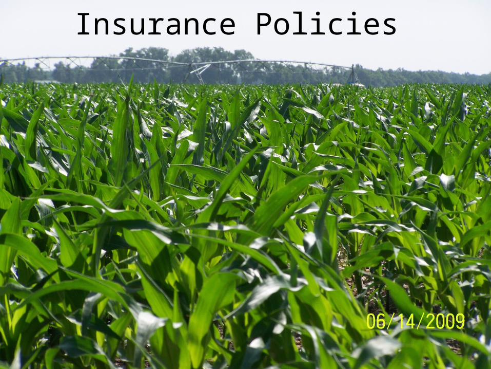
Insurance Policies

APH Plan
• Protects a farmer from only a loss of bushels.
· Least expensive form of crop insurance.
· Price Fluctuations are not taken into account.
· Yield average based upon farms history.
APH plan is the historical plan that has been around for years.

Revenue Plans (CRC & RA)
• Revenue polices protect a farmer from not only a loss of bushels, but also from a loss of revenue caused by:
· Decrease in price.
· Low production.
· Any combination of the two.
• Revenue polices can also give farmers added protection when commodity prices rise - something that an APH policy cannot do.

APH - Wheat
30 X 70% = 21 bushel guarantee30 bu. APH
70% level$5.20/bu.
100% share.I harvested only 10 &$@*#bushels off of this place!
21 - 10 = 11 bushel11 x $5.20 = $57.20 acre
Indemnity Payment
• Definition of Crop Insurance • History of Crop Insurance • Policies• Causes of Loss • GIS • Record Keeping
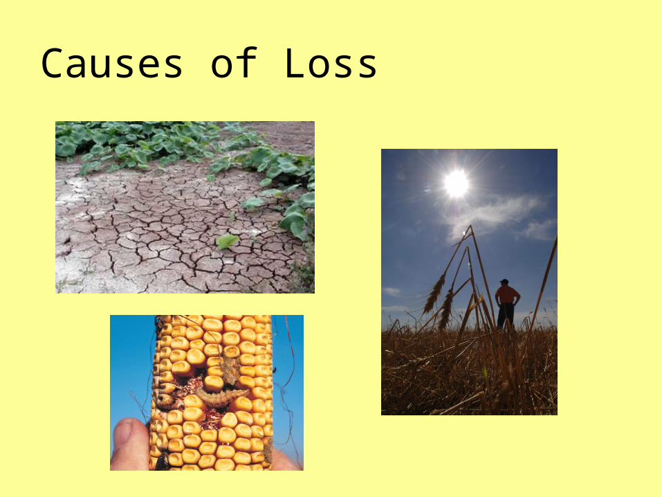
Causes of Loss
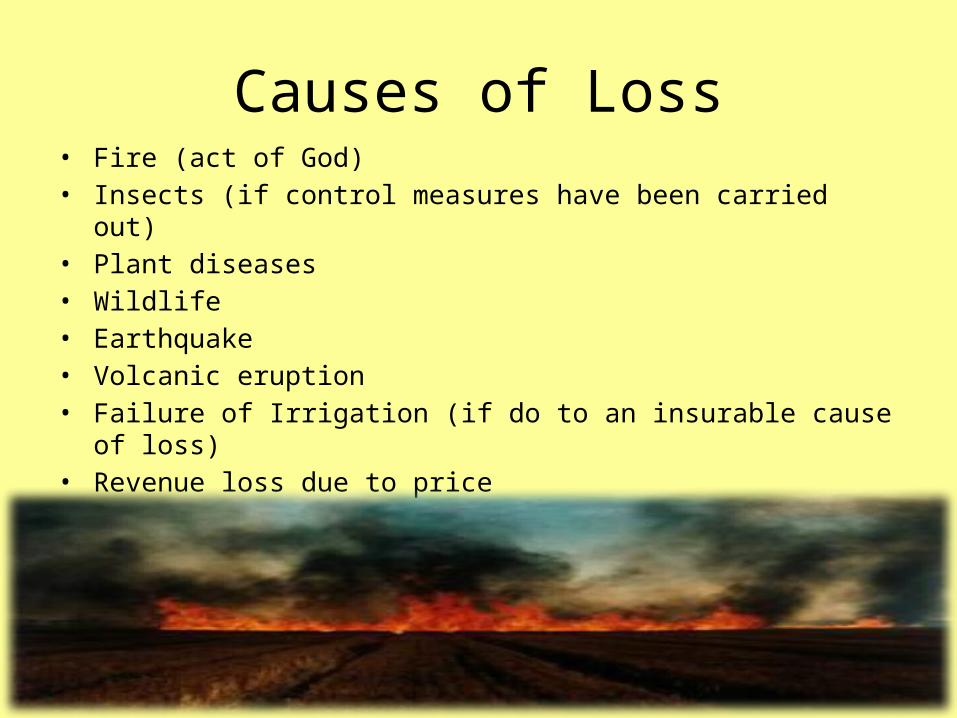
Causes of Loss• Fire (act of God)• Insects (if control measures have been carried out)• Plant diseases • Wildlife • Earthquake • Volcanic eruption • Failure of Irrigation (if do to an insurable cause of loss)• Revenue loss due to price• Prevented Planting (from insurable cause of loss)

• Definition of Crop Insurance • History of Crop Insurance • Policies• Causes of Loss • GIS • Record Keeping

GIS• Geographic information system (GIS) software is
used to prepare and manage agricultural data and build geospatial snapshots of cropland.
• Enhancing a GIS with land-cover data layers has proved helpful to: - crop growers' associations- crop insurance companies- seed and fertilizer companies- farm chemical companies

GIS and Crop Insurance
• The U.S. Department of Agriculture (USDA) and the Risk Management Agency (RMA) administers of the Federal crop insurance program.
• GIS is used to provide mapping tools and products for decision makers and the process of incorporating crop insurance policy data with GIS in order to visualize various aspects of crop insurance business.

GIS AND Crop Insurance • The prototype GIS tool was created using ArcGIS 8 technology.
• The data layers that were included for analysis in this prototype are: – Elevation– Slope– Flood zones– Soil Rating for Plant Growth (SRPG)
The SRPG is a soil quality measurement that is derived from nearly 25 soil quality parameters in the Soil Survey Geographic (SSURGO) Database, including effective rooting depth and root zone water-holding capacity.

GIS AND Crop Insurance • The use of GIS is applicable to many areas of the crop insurance
business. The applications are:
1. Geographically code policy information to show where RMA’s business is located, including: program participation, loss ratios, and causes of loss.
2. Compare crop insurance participation with demographic information in order to identify underserved and minority populations.
3. Define risk areas more accurately by analyzing physical factors that affect crop insurance risk.
4. Incorporate crop condition information assessed from satellite remote sensing with GIS to identify the vulnerable zones of crop failure in advance.

• Definition of Crop Insurance • History of Crop Insurance • Policies• Causes of Loss • GIS • Record Keeping
Record Keeping
• Today a typical farm management field book may contain the following pages of information:
• Management Plans and Records- Crop map or plan – a page with farm and field boundaries, roads and crops- Maps of inputs -- hybrid and variety map, pesticides, fertilizer, tillage- Fertility, soil tests – map of soil sample numbers and pages of results- Irrigation map- Yield history – usually whole field or farm

Record Keeping • Property Description
- Soil Map – map of soil types and descriptions of associations;
- Aerial photograph – copy from USDA office (not digital);
- Tile maps – where available, measurements, flow directions, sizes (hand written);
- Building map – locations and descriptions, wells, pivots, livestock facilities;
- Plat map
Record Keeping • In addition to the above farm management items other items
kept includes ownership• records, operating arrangements (leases, custom work,
etc.), tax parcel numbers• easement records, Farm Service Agency records (farm numbers,
FSA acreage, base yields, reported acreage for example)• NRCS program acreage• insurance records• marketing contracts • A GIS which could efficiently organize and retrieve such
information according to field location would be an enhancement of farm record keeping on most farms.
Questions ?