The Geospatial Work Force: Meeting Wisconsin’s Future Needs Presented by: Geospatial Information &...
44
The Geospatial Work Force: Meeting Wisconsin’s Future Needs Presented by: Geospatial Information & Technology Association, WI Chapter Executive Board members: Thomas Tym – Ruekert / Mielke, Inc. Emily Champagne – Milwaukee Metropolitan Sewerage District (MMSD)
-
Upload
titus-edgecomb -
Category
Documents
-
view
214 -
download
1
Transcript of The Geospatial Work Force: Meeting Wisconsin’s Future Needs Presented by: Geospatial Information &...

The Geospatial Work Force:Meeting Wisconsin’s Future Needs
Presented by:Geospatial Information & Technology Association,
WI Chapter Executive Board members:Thomas Tym – Ruekert / Mielke, Inc.
Emily Champagne – Milwaukee Metropolitan Sewerage District (MMSD)

Agenda
Where are the jobs Education vs. Compensation Breaking into the Profession Recruitment Strategies
& Prospects

Public Sector Jobs
Federal Government State Government Regional Government County Government Municipal or local Government Educational Institution

Federal Government
National Geospatial- Intelligence Agency (NGA)
Homeland Security (FEMA) United States Geological Survey (USGS) National Resources Conservation Service
(NRCS) Many others

State Government
Department of Natural Resources (DNR)
Department of Transportation (DOT) Department of Administration (DOA)
– Facilities Management– Military Affairs
Several Others

Regional Government
Regional Planning Commissions Metropolitan Sewerage Districts Water Management Districts

County Government
Land Information Office Planning & Zoning Register of Deeds Emergency Management Conservationist Sheriffs Office

Municipal/Local Government
Department of Public Works Planning & Zoning Public Services
– Water Meter Reading– Snow Plowing
Police Department
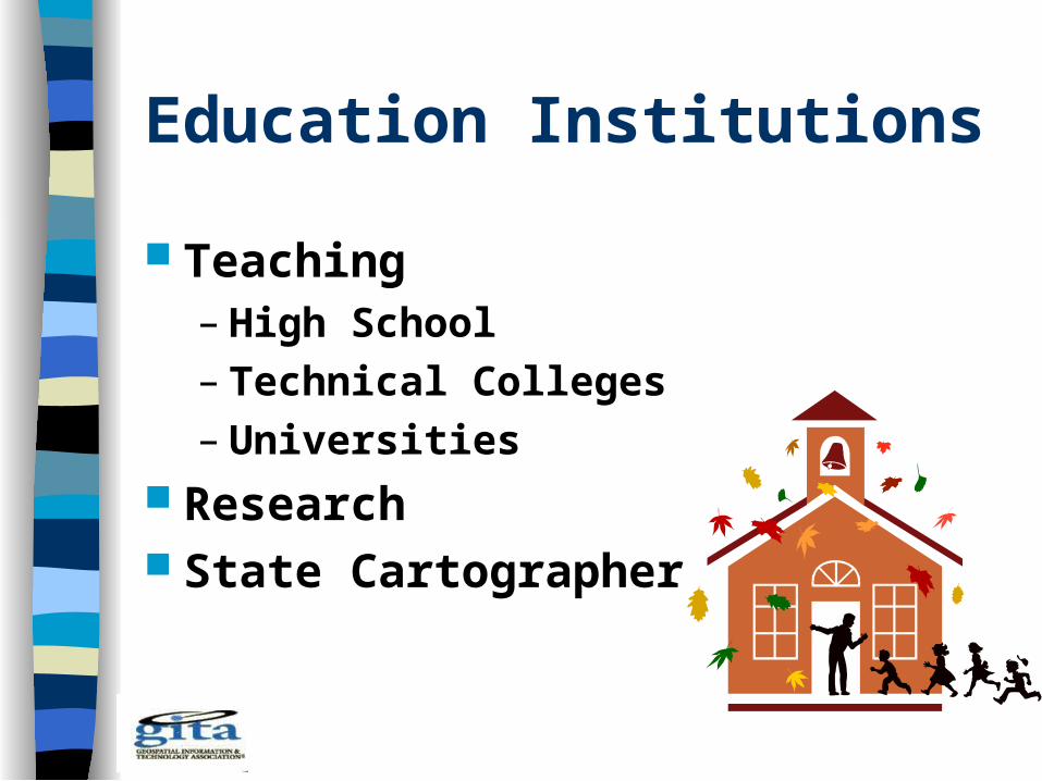
Education Institutions
Teaching – High School– Technical Colleges– Universities
Research State Cartographer

Private Sector Jobs
Mapping Companies Consulting Firms Software Developers Utilities Land Development Non-Profits Others

Mapping Companies
Publishers Conversion Companies Satellites Companies

Consulting Firms
Engineering Planning Surveying Remote Sensing

Software Developers
GIS CADD/Design Parcel Modeling Web
Applications

Utilities
Electrical Gas Telephone Pipelines Digger’s Hotline

Land Development
Real Estate Title Companies Big Box Retail
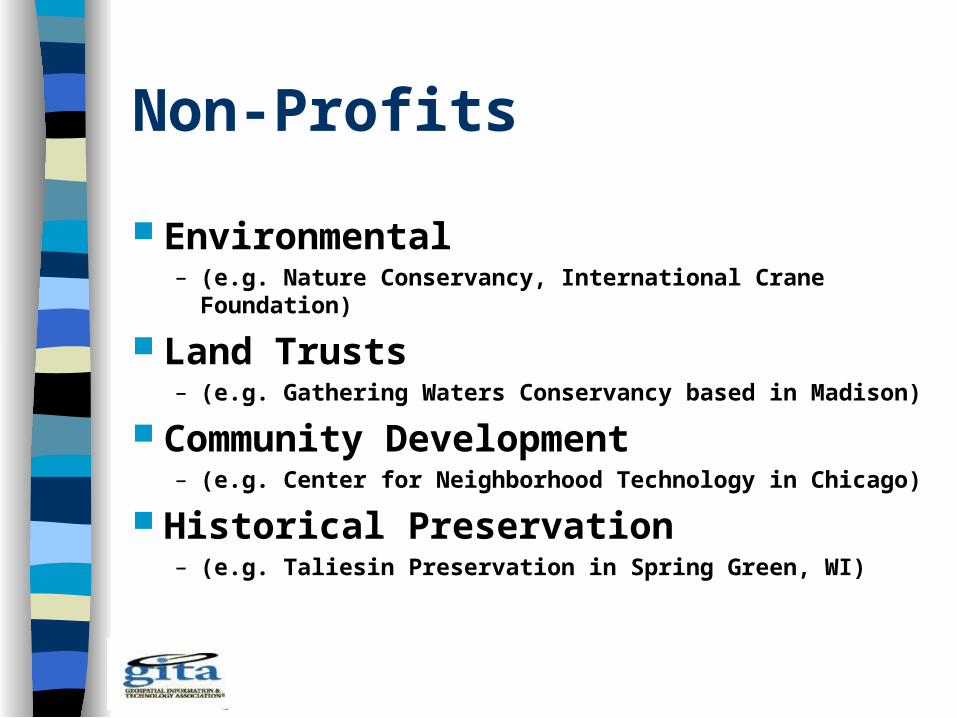
Non-Profits
Environmental– (e.g. Nature Conservancy, International Crane
Foundation)
Land Trusts– (e.g. Gathering Waters Conservancy based in Madison)
Community Development– (e.g. Center for Neighborhood Technology in Chicago)
Historical Preservation– (e.g. Taliesin Preservation in Spring Green, WI)

Others
Insurance Forestry Agriculture Manufacturing

Educational Requirements, Positions, & Compensation Technician level
– Data Entry– CADD– Survey Crew
2 Year Technical Degree Hourly Position
– $20,000 to $40,000 per year

Educational Requirements, Positions, & Compensation Sub Professional level
– Programmer– Supervisory Management– Instrument Operator
Bachelors Degree Hourly Position
– $30,000 to $50,000 per year

Educational Requirements, Positions, & Compensation Professional level
– Software Engineer– Photogrammetrist– GIS Professional
Bachelors/Masters Degree Salaried Position
– $40,000 to $80,000 per year

Educational Requirements, Positions, & Compensation Managerial level
– Land Information Officer– Project Manager– Director of Public Works
Bachelors/Masters Degree Salaried Position
– $40,000 to $100,000 per year

Educational Requirements, Positions, & Compensation Research/Education level
– Professor– Researcher– Trainer
Masters/Doctorate Degree Salaried Position
– $30,000 to $120,000 per year
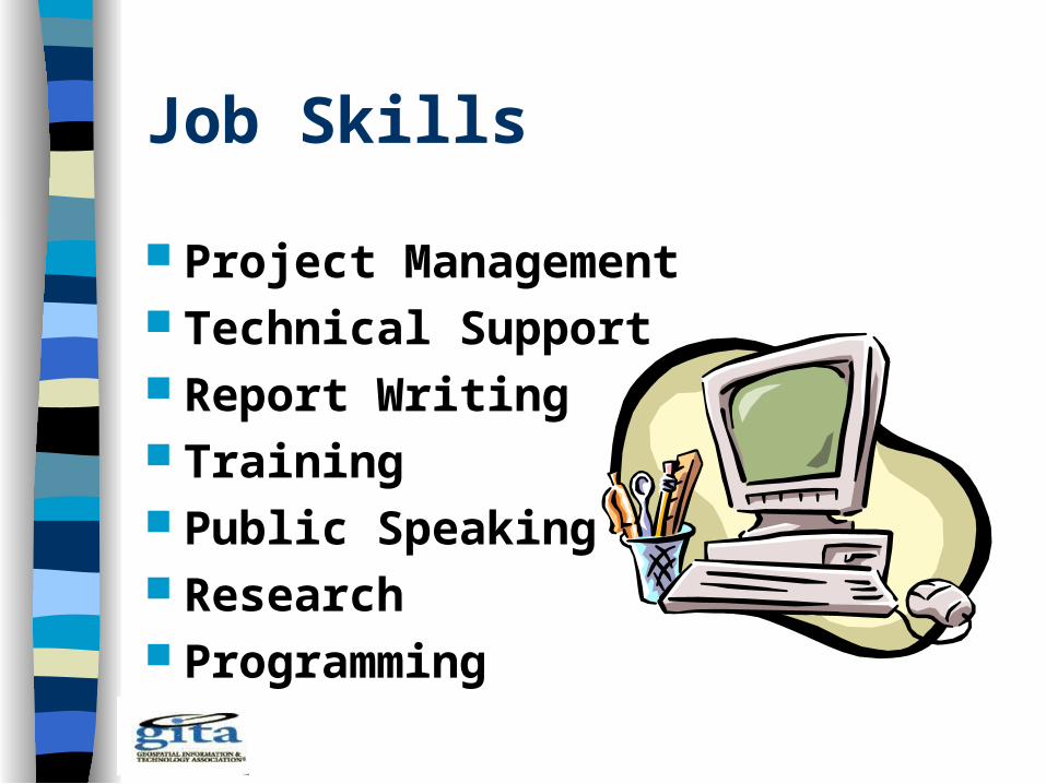
Job Skills
Project Management Technical Support Report Writing Training Public Speaking Research Programming

Other Software Skills
MS Access Excel SQL Server Visual Basic HTML / ASP

Software Skills (cont.)
Mobile & Web Technology
Visual Studio Silverlight Flex Python

Breaking Into The Profession
Educational Opportunities Internships Professional Associations Publications Users Conferences Credentials Network

Educational Opportunities
UW GIS Certificates and Degrees Online GIS Degrees Technical Training
– Technical Colleges– Software Training

Internships
Independent Study College Credit Summer Employment

Professional Associations“National”
Urban & Regional Information Systems Association (URISA)
urisa.org
Geographic Information Technology Association (GITA)
gita.org
American Society for Photogrammetry and Remote Sensing (ASPRS)
asprs.org

Professional Associations“Regional”
Wisconsin Land Information Association (WLIA)
Wisconsin, Minnesota, Iowa/Illinois Chapters of GITA
Western Great Lake Chapter of ASPRS Minnesota GIS/LIS Illinois GIS Association (ILGISA) Michigan (IMAGIN)

Regional Conferences
WLIA Spring Regional MeetingLa Crosse, WI, May 17-18 (wlia.org)
ILGISA NIU Naperville, IL, Oct 18-19, 2011 (ilgisa.org)
EWUG, Green Bay, WI, Nov 9-10, 2011 (ewug.org)
MN GIS/LIS St. Cloud, Oct 5-7, 2011(mngislis.org)

Publications
Earth Observation Magazine PE&RS Professional Surveyor GeoWorld Geospatial Solutions Earth Imaging Journal ArcUser

Blogs
James Fee’s blog http://www.spatiallyadjusted.com/ Planet GeoSpatial http://www.planetgs.com/ Matt Artz’s GIS and Science Blog
http://www.gisandscience.com./ ESRI’s ArcGIS Blogs GoogleEarthBlog
http://www.gearthblog.com/index.html SCO’s Wisconsin Mapping Bulletin
http://news.sco.wisc.edu/ NSGIC News http://news.nsgic.org/

Users Conferences
Software Company Sponsored– ESRI– Autodesk– Intergraph
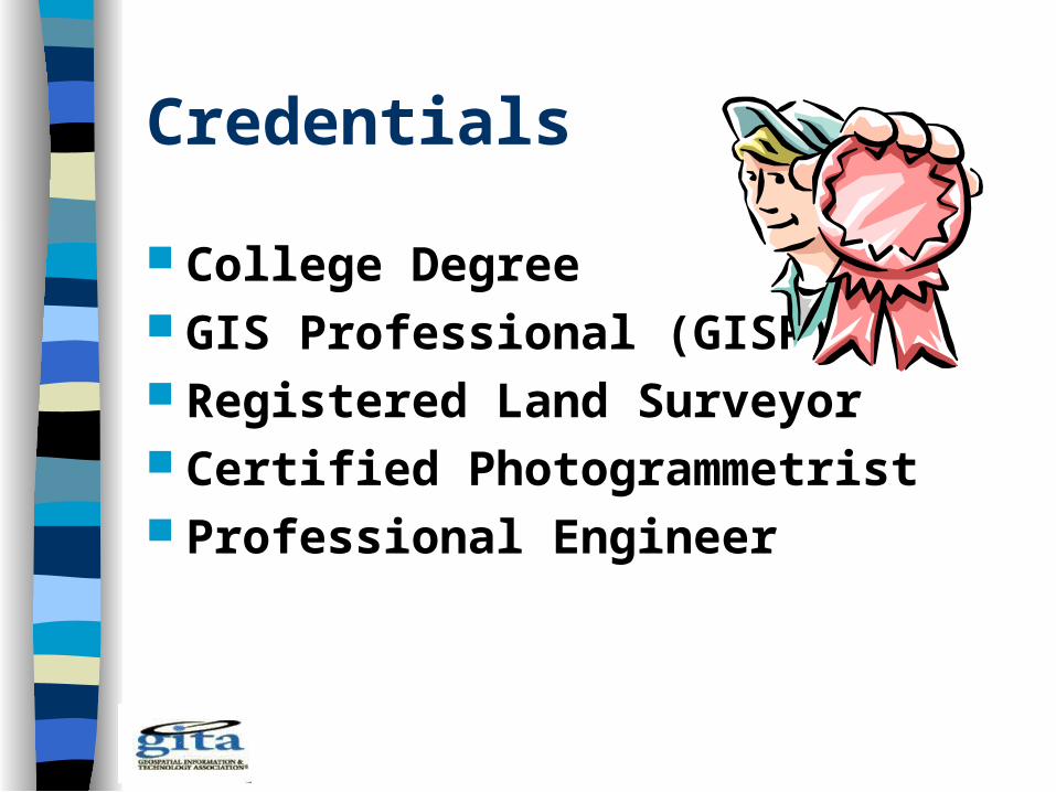
Credentials
College Degree GIS Professional (GISP) Registered Land Surveyor Certified Photogrammetrist Professional Engineer

Network
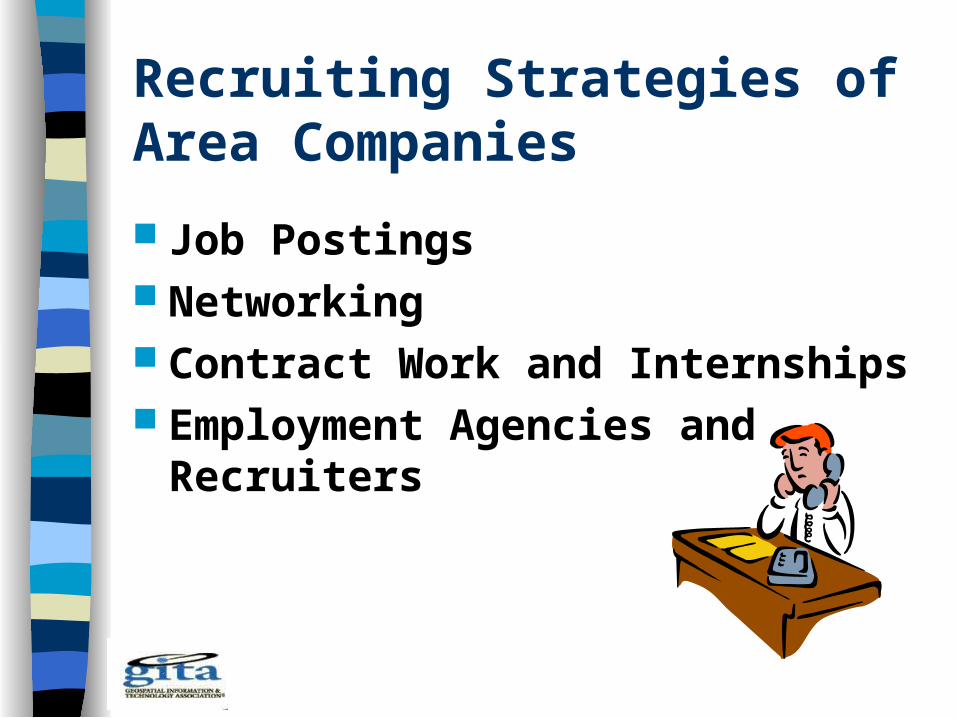
Recruiting Strategies of Area Companies
Job Postings Networking Contract Work and Internships Employment Agencies and
Recruiters
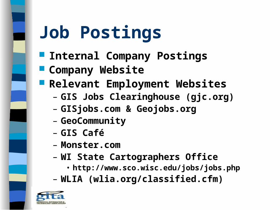
Job Postings Internal Company Postings Company Website Relevant Employment Websites
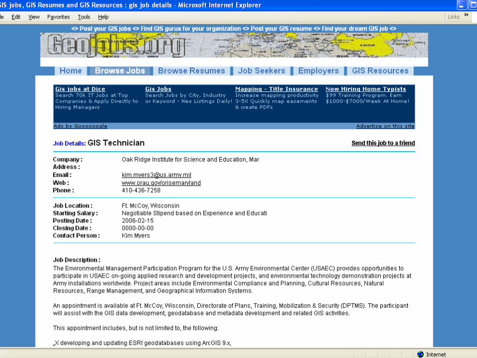
– GIS Jobs Clearinghouse (gjc.org)– GISjobs.com & Geojobs.org– GeoCommunity – GIS Café – Monster.com– WI State Cartographers Office
• http://www.sco.wisc.edu/jobs/jobs.php
– WLIA (wlia.org/classified.cfm)
Job Postings
Internal Company Postings Company Website Relevant Employment Websites
– GIS Jobs Clearinghouse (gjc.org)– GISjobs.com & Geojobs.org– GeoCommunity – GIS Café – Monster.com

Job Postings
Internal Company Postings Company Website Relevant Employment Websites
– GIS Jobs Clearinghouse (gjc.org)– GISjobs.com & Geojobs.org– GeoCommunity – GIS Café – Monster.com

Networking
“Conference Scouting” Employee Referrals Linked in Facebook

Other Recruiting Strategies
Contract Work and Internships Employment Agencies and
Recruiters Job Boards – local colleges &
universities Internships

Future Prospects
Many Opportunities– Upper Midwest
Pent-up Demand Off-Shore Threat Surf the Net

The Geospatial Work Force:Meeting Wisconsin’s Future Needs
Presented by:Geospatial Information & Technology Association,
WI Chapter Executive Board members:Thomas Tym – Ruekert / Mielke, Inc.
Emily Champagne – Milwaukee Metropolitan Sewerage District (MMSD)