Tenure atlas of the world - UNECE · • Preparing a tenure atlas is one of the activities. Project...
19
Tenure atlas of the world 10 th session WPLA March 9 th 2017
-
Upload
truongdieu -
Category
Documents
-
view
217 -
download
0
Transcript of Tenure atlas of the world - UNECE · • Preparing a tenure atlas is one of the activities. Project...
Tenure atlas of the world10th session WPLA
March 9th 2017
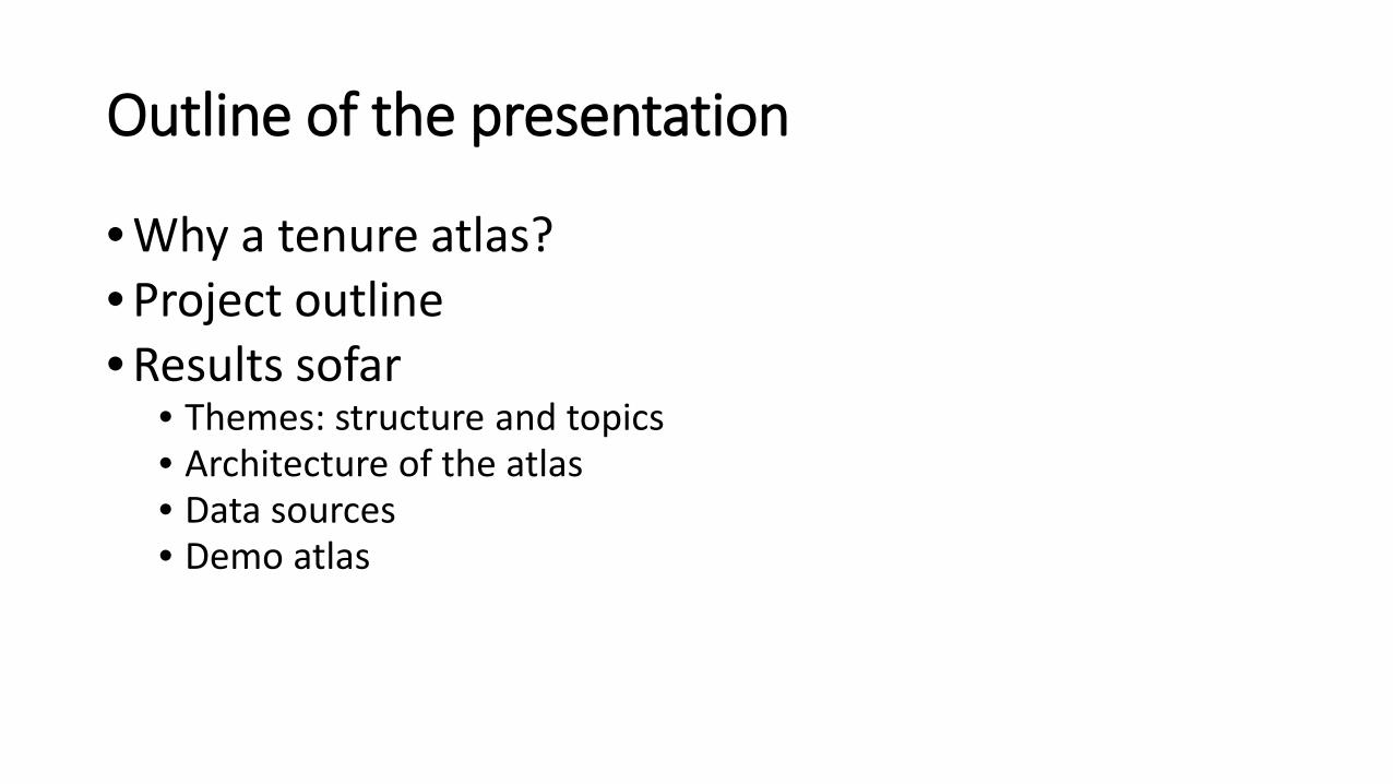
Outline of the presentation
• Why a tenure atlas?• Project outline• Results sofar
• Themes: structure and topics• Architecture of the atlas• Data sources• Demo atlas
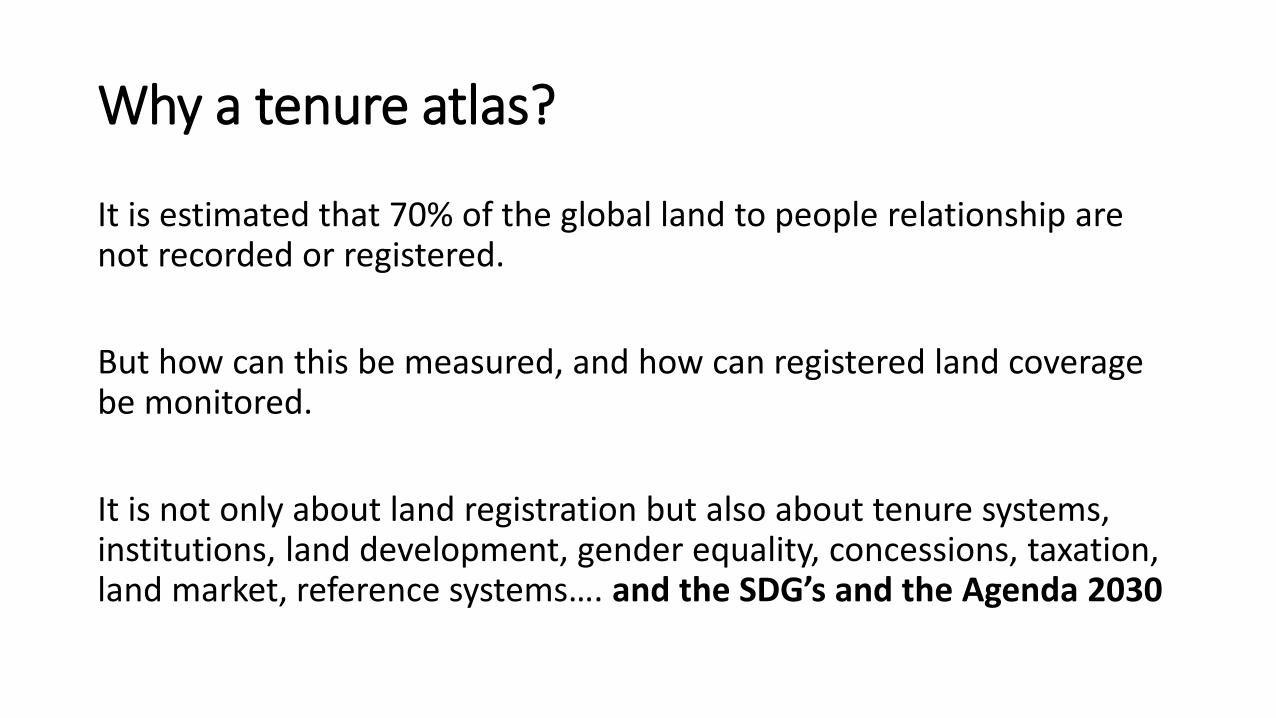
Why a tenure atlas?
It is estimated that 70% of the global land to people relationship are not recorded or registered.
But how can this be measured, and how can registered land coverage be monitored.
It is not only about land registration but also about tenure systems, institutions, land development, gender equality, concessions, taxation, land market, reference systems…. and the SDG’s and the Agenda 2030
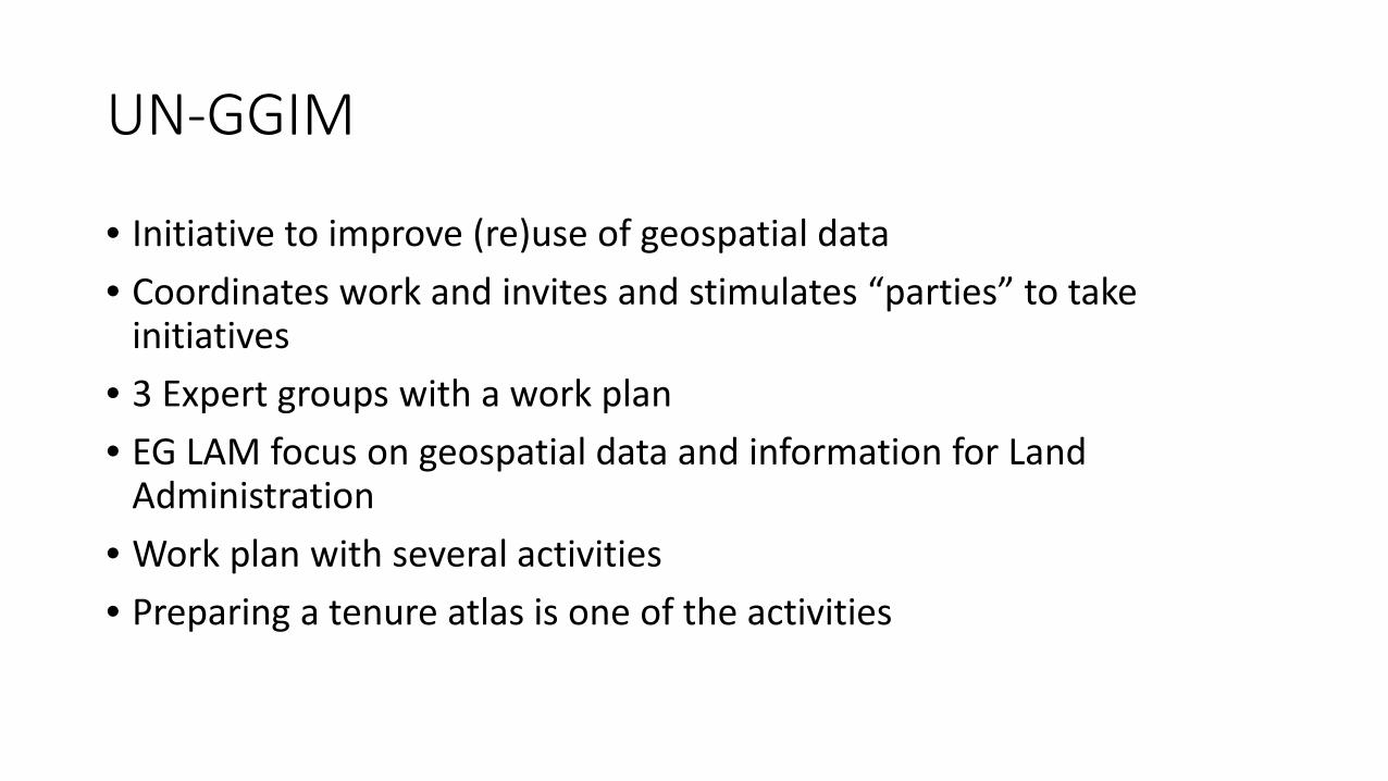
UN-GGIM
• Initiative to improve (re)use of geospatial data• Coordinates work and invites and stimulates “parties” to take
initiatives• 3 Expert groups with a work plan• EG LAM focus on geospatial data and information for Land
Administration• Work plan with several activities• Preparing a tenure atlas is one of the activities
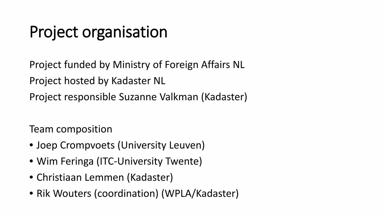
Project organisation
Project funded by Ministry of Foreign Affairs NLProject hosted by Kadaster NLProject responsible Suzanne Valkman (Kadaster)
Team composition• Joep Crompvoets (University Leuven)• Wim Feringa (ITC-University Twente)• Christiaan Lemmen (Kadaster)• Rik Wouters (coordination) (WPLA/Kadaster)
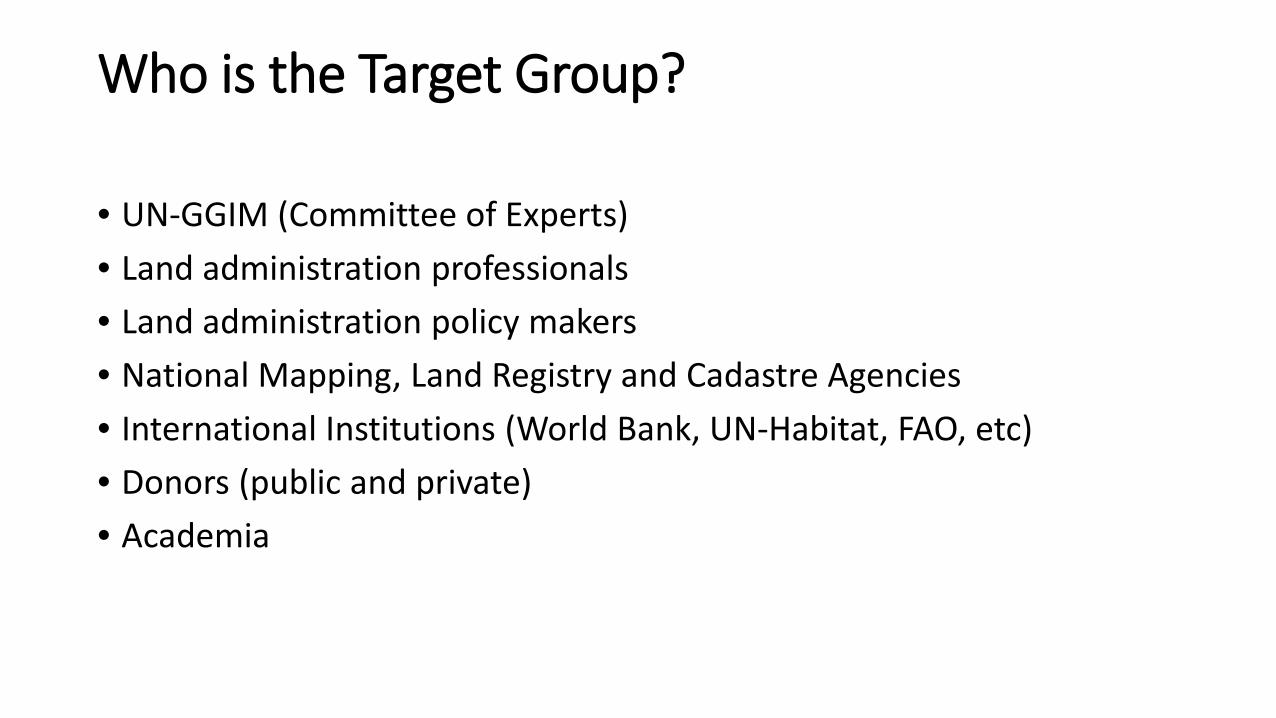
Who is the Target Group?
• UN-GGIM (Committee of Experts)• Land administration professionals• Land administration policy makers• National Mapping, Land Registry and Cadastre Agencies• International Institutions (World Bank, UN-Habitat, FAO, etc)• Donors (public and private)• Academia
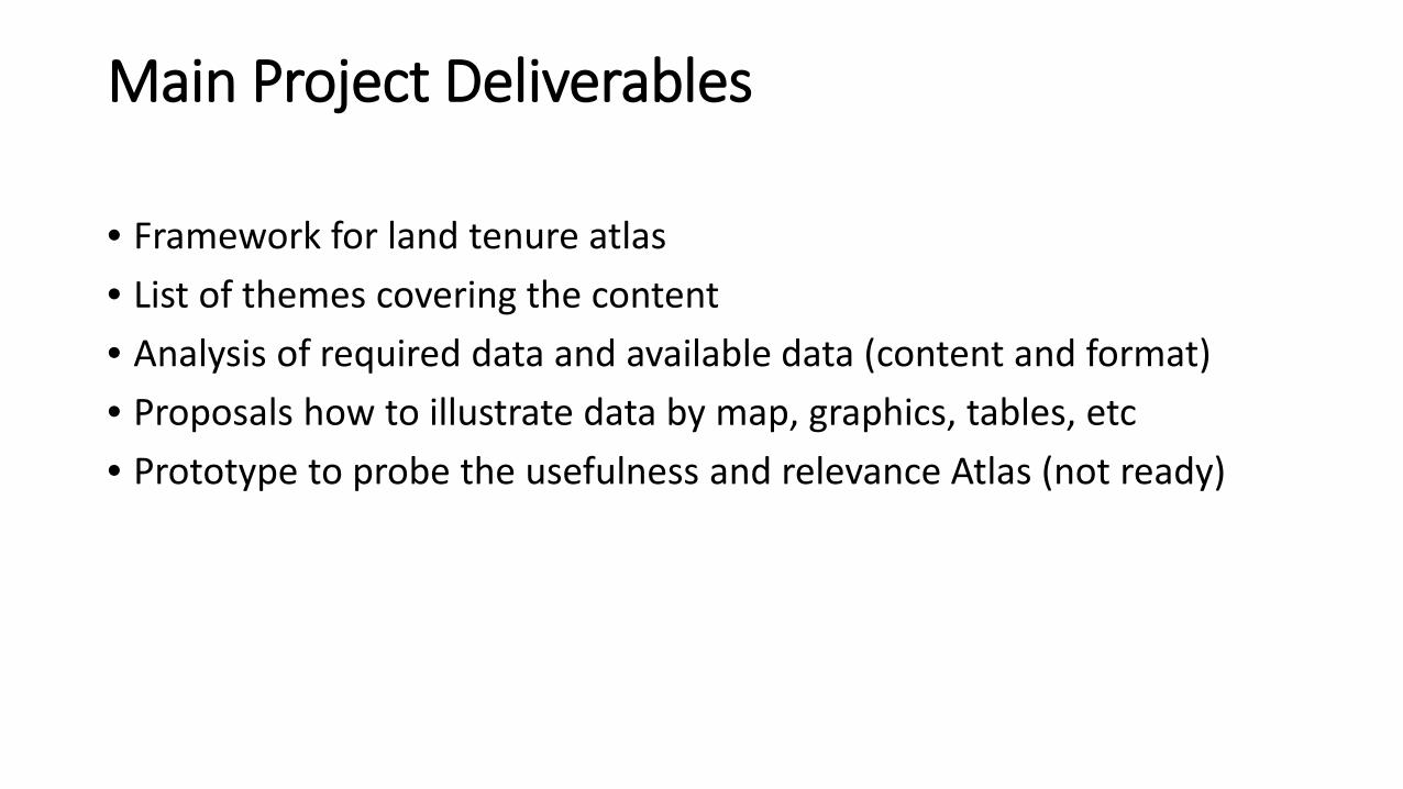
Main Project Deliverables
• Framework for land tenure atlas• List of themes covering the content• Analysis of required data and available data (content and format)• Proposals how to illustrate data by map, graphics, tables, etc• Prototype to probe the usefulness and relevance Atlas (not ready)
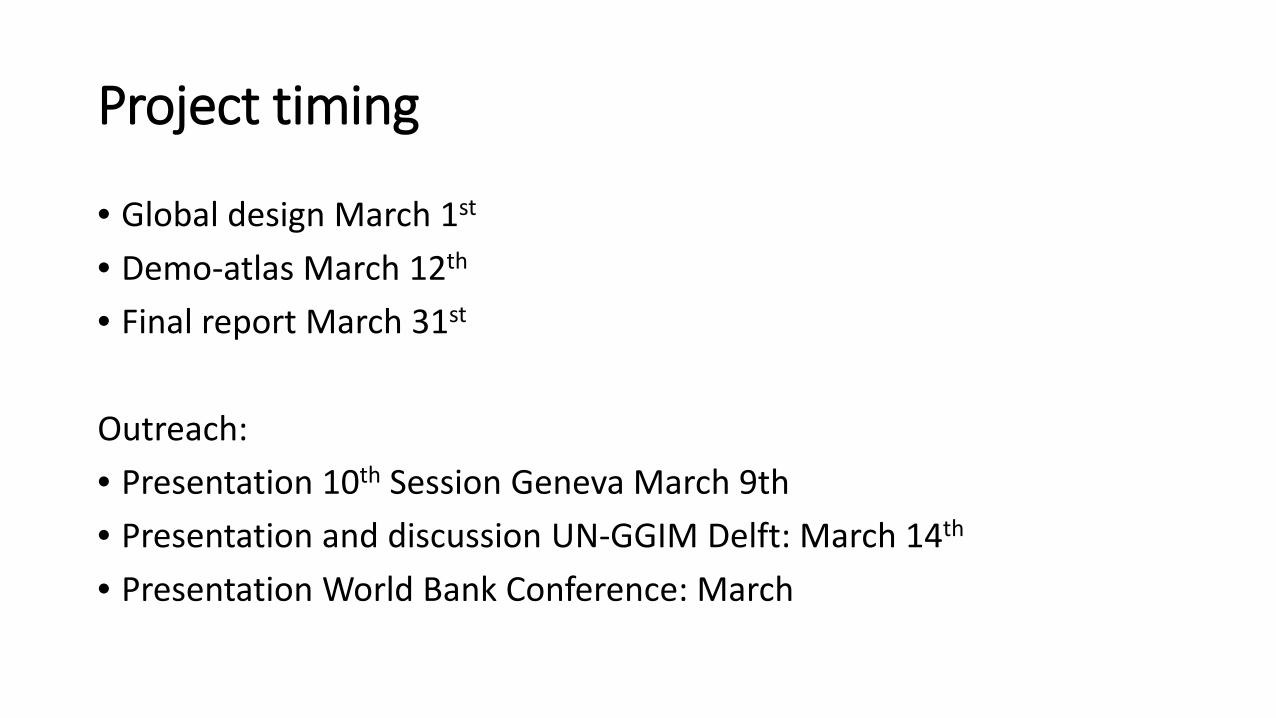
Project timing
• Global design March 1st
• Demo-atlas March 12th
• Final report March 31st
Outreach:• Presentation 10th Session Geneva March 9th• Presentation and discussion UN-GGIM Delft: March 14th
• Presentation World Bank Conference: March

Part 2: Results so far

How will the atlas framework be made?
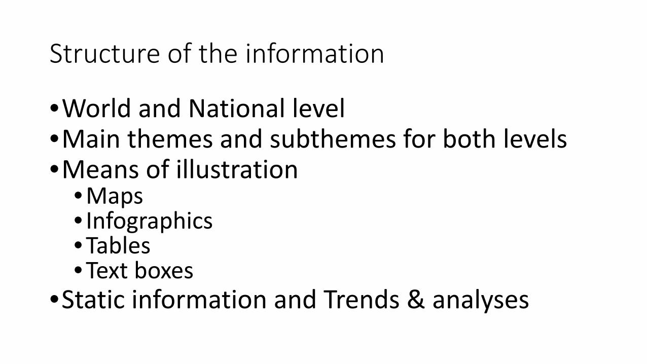
Structure of the information
•World and National level•Main themes and subthemes for both levels•Means of illustration
•Maps • Infographics•Tables•Text boxes
•Static information and Trends & analyses
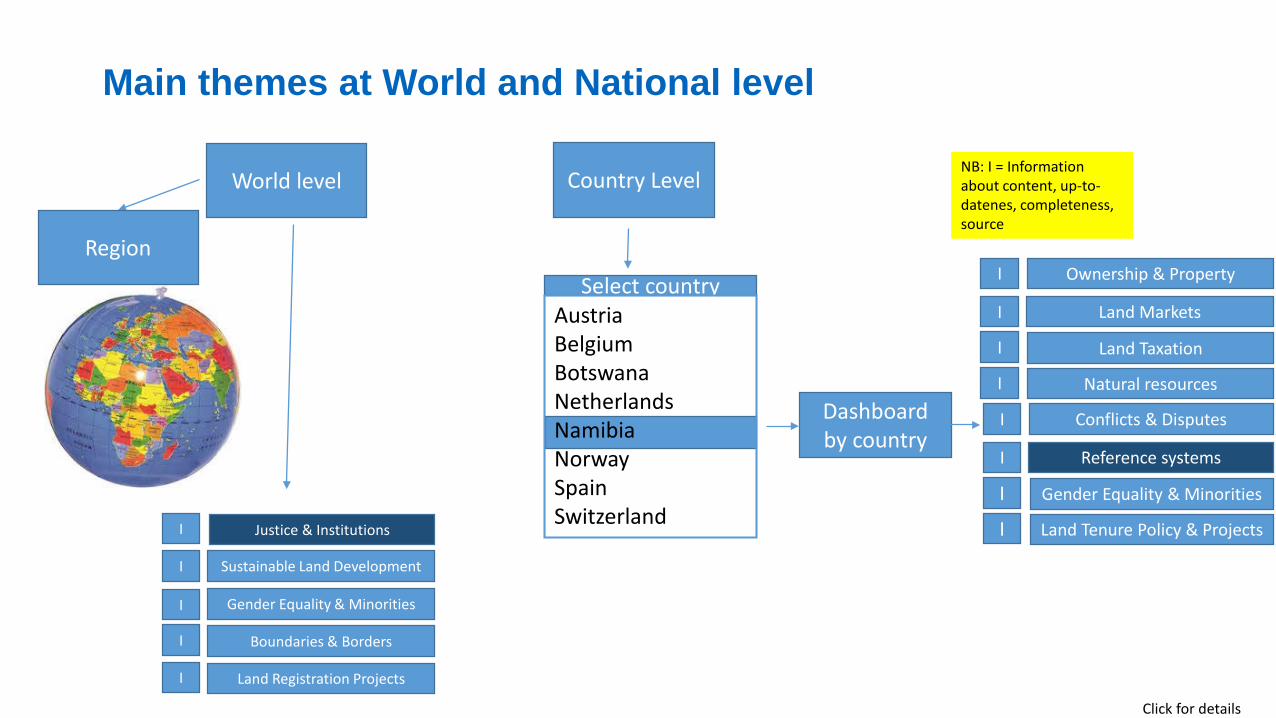
World level Country Level
Ownership & Property
Land Markets
Land Taxation
Natural resources
I
I
I
I
Dashboard by country
Select countryAustriaBelgiumBotswanaNetherlandsNamibiaNorwaySpainSwitzerland
Click for details
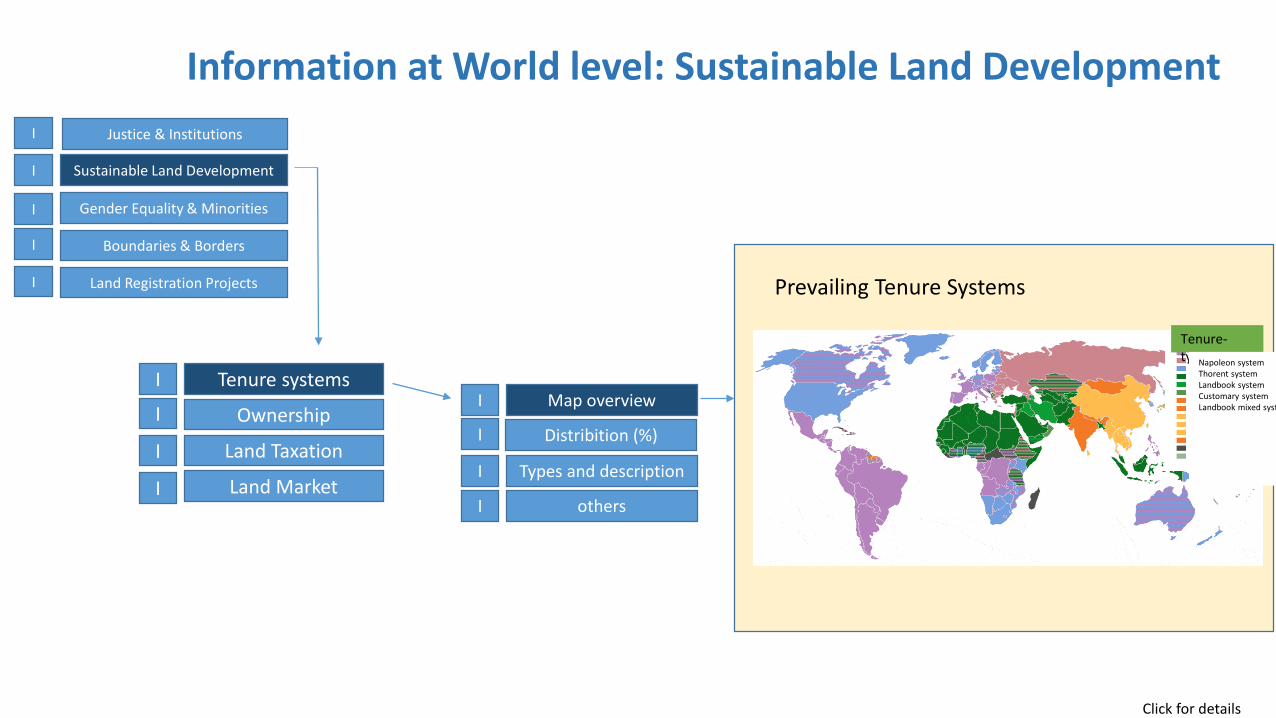
Justice & Institutions
Sustainable Land Development
Gender Equality & Minorities
Boundaries & Borders
I
I
I
I
NB: I = Information about content, up-to-datenes, completeness, source
Land Registration ProjectsI
Main themes at World and National level
Conflicts & Disputes
Reference systems
Gender Equality & Minorities
Land Tenure Policy & Projects
I
I
I
I
Region
Click for details
Tenure systems
Ownership
Land Taxation
Land Market
I
I
I
I
Tenure-type
Information at World level: Sustainable Land Development
Map overview
Distribition (%)
Types and description
others
I
I
I
I
Justice & Institutions
Sustainable Land Development
Gender Equality & Minorities
Boundaries & Borders
I
I
I
I
Land Registration ProjectsI Prevailing Tenure Systems
Napoleon systemThorent systemLandbook systemCustomary systemLandbook mixed syst
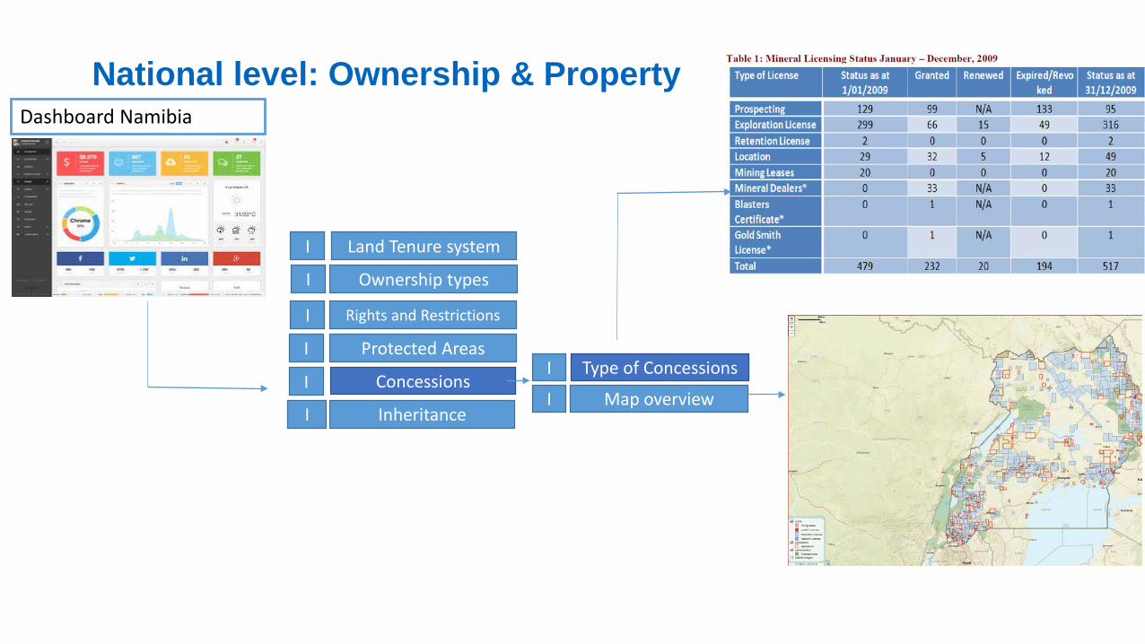
Dashboard Namibia
Rights and Restrictions
Protected Areas
Concessions
Inheritance
I
I
I
I
Type of Concessions
Map overview
I
I
Land Tenure systemI
I
National level: Ownership & Property
Ownership types
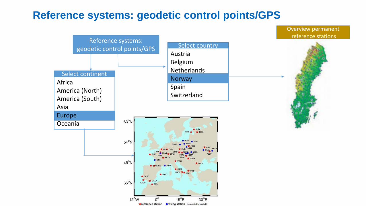
Reference systems: geodetic control points/GPS Select country
Select continent
AustriaBelgiumNetherlandsNorwaySpainSwitzerland
AfricaAmerica (North)America (South)AsiaEuropeOceania
Overview permanentreference stations
Reference systems: geodetic control points/GPS
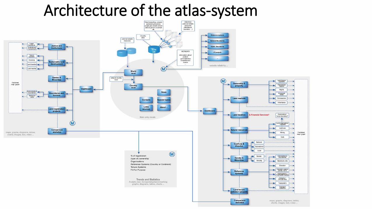
Architecture of the atlas-system
Data sources
Starting point: no new data acquisitionAvailable sources at world level:
• Doing Business, LGAF, EBA (Worldbank)• Land use report (OECD)• Global Land Indicators Initiative (GLTN)• Landportal.info
Available sources at national level:• Many sources free of use
Match required data (themes) and available data (sources) is poor:• Not the right data• Not in the proper format to make maps and infographicsNB: additional data acquisition might be desired at world or national level
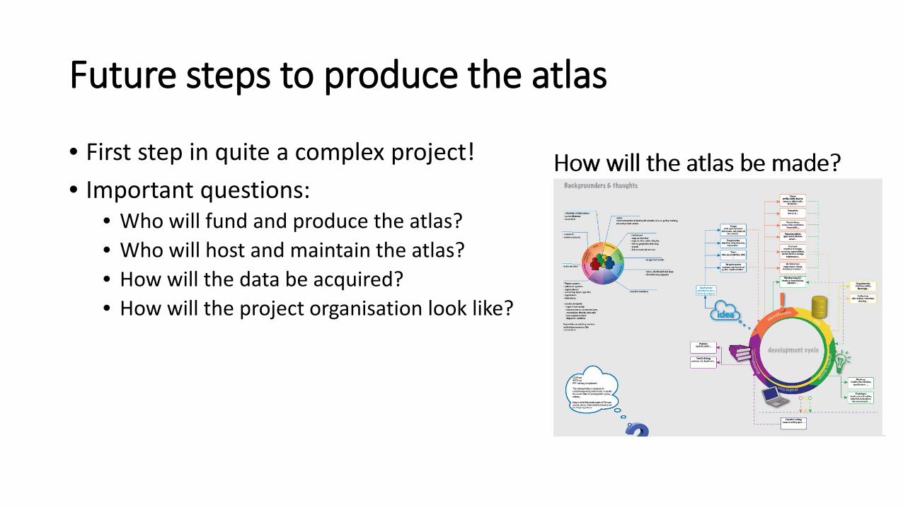
Future steps to produce the atlas
• First step in quite a complex project!• Important questions:
• Who will fund and produce the atlas? • Who will host and maintain the atlas?• How will the data be acquired?• How will the project organisation look like?
Thank you for your attention