
T»> ^. o » (2-0°; - USGS · Thus, sample number 52-CS-5^ vasp collected in 1952 ... unctuous orv...
17
(2-0°; T»> ^. o » VIA- 4 J10.653 5 lO- 11 12 »v 13 14 15 16 17 18 L9 20 24 25- STATES DEPARTMENT OF THE INTERIOR 4,S, GEOLOGICAL Description, cco^osition, and tenor of \mconsolldated sediments in aonazite-bearing tributaries to the Enoree, Tyger, and Pacolet Rivers -'?*iZ*f ~W-'?*''-? .^y^^':r : ?^^-.^..-^*-v'/L-'^-^ T- 4 ^' "' ^1 ~. in the vestern Pledaont of South Carolina Norman P. Cuppels OPEN FILE BEPORT MATERIAL IS PRELIMINARY AND HAS NOT BEEN EDITED OR REVIEWED FOR CONFORMITY WITH .U.S. GEOLOGICAL SURVEY STANDARDS OR NOMENCLATURE. ' 1962 This report concerns work done on behalf of the Division of Rav 4U. S. GOVIRHMJENT OfFKT* s IH9 O-»UJ7I
Transcript of T»> ^. o » (2-0°; - USGS · Thus, sample number 52-CS-5^ vasp collected in 1952 ... unctuous orv...

(2-0°;T»> ^. o »
VIA-
4 J10.653
5
lO-
11
12»v
13
14
15
16
17
18
L9
20
24
25-
STATES DEPARTMENT OF THE INTERIOR
4,S, GEOLOGICAL
Description, cco^osition, and tenor of \mconsolldated sediments in
aonazite-bearing tributaries to the Enoree, Tyger, and Pacolet Rivers-'?*iZ*f ~W-'?*''-? .^y^^':r :?^^-.^..-^*-v'/L-'^-^ T-4 ^' "' 1̂ ~.
in the vestern Pledaont of South Carolina
Norman P. Cuppels
OPEN FILE BEPORT
MATERIAL IS PRELIMINARY AND HAS NOT BEEN EDITED OR REVIEWED FOR CONFORMITY WITH .U.S. GEOLOGICAL SURVEY STANDARDS OR NOMENCLATURE.
' 1962
This report concerns work done on behalf of the Division of Rav
4U. S. GOVIRHMJENT OfFKT* s IH9 O-»UJ7I
r^v^wwp (Zx
ZDO)
1.1267
Bage
1
2
Contents
Introduction ............ ..... . .
Location of the sanplea . ...... yV '--. ;; '_- - , "'
s- Description of the tables . . . . . . ... I . . . .
Block, station number, and depth of sample belov
surface of flood plain . w.;^ v^Wv .i i ^ .^.
Sample numbers .- .-1V ^"« T: *c - ,' - " '''" ' '-'. " >,'-'?'-
Material sangpled^. .^ t...^. . . .^. ̂ .-.j-. . ;V . .
10- Screening characteristics *. ; v. «r <? '+ > ̂ --^
Minerals in concentrate .>." .; Z . .'. ;ri?
References cited . . . ...... ...,. .
14
15
16
17
19
20
21
22
23
24
25-
. 3, GOVERNMENT PRINTING OmCC I IW O-^IIITI

IJi
Illustrations ̂-long list
Figure 1. Index to areas used for placer appraisal between
: the Savannah and Catawba Rivers, South Carolina
and North Carol Inn. .............."** ' '". .±... ' - fit £ . v,.-,.-; v- T . « .. '» .' *'-' ', ex ̂ >.-P --~~ .»t'"V : *.- »." ' ;.. ' - '- r. - -- ' . ;*>' -" *' -. '- ' - .: - .. '. - ' .- ' > ;.M.. ;..*-.. . I 1 »_' ( v '" ,*
2. Map shoving drainage and distribution of sauries,
SaYannah River-Catavba Biver district, South
Carolina and North Carolina
Page
3*
* V. S. OOVeHNMKNT PHINTIMQ OFFICC 1 IVlt O - SIIITl
V, v.

VY3S2*i. VI
10
11
12
13
14
15
16
17
18
19
20
25-
Tables <
(numbers follov in sequence from report by D. V. Caldwell, 1962.)
, , . ., ^ ....... Pafie
Table 16. Descriptions of sediments sampled along Durbin Creek
and other tributaries to the Enoree River, Laurens,
Spartanburg, and Greenville Counties, S. C. .j> . . 3
17. Descriptions of sediments sampled along Gilder Creek
and other tributaries to the Enoree River,
Spartanburg County, Greenville County, and
Laurens County, S.C. ........ .y._ *-. r . 3y
18. Descriptions of sediments sampled along Mountain
Creek and other tributaries to the Enoree River,
Greenville County, S- C.,'. .v », ^ . ... .^ .- . ^3
19. Descriptions of sediments sampled along Beaverdam
Creek and other tributaries to Falrforest Creek,
Spartanburg County, S. C.^f ... .., *>. ^^»? .y.;^
20. Descriptions of sediments sampled along Ferguson
Creek and other tributaries to the South Tyger
River, Spartanburg County, Si C. ... .......
21. Descriptions of sediments sampled near the Junction
Horth Tyger River and Middle Tyger River,
Spartanburg County, S. C* ...........
* U- OFFICC I lt»» O
i.1267
5-
10-
11
...
12
13
14
1
16
17
18
19.
15
20
Page
21
22
23
24
25-
Table 22. Descriptions of sediments sampled along parts of the
Horth Tyger River, Middle Tyger River, and South
Tyger River, Spartanburg County and Greenville
County, S. C. . . . ... ...........
23. Descriptions of sediments sampled along Lavson Fork, ' .V. ',,v $
Creek, Spartanburg County, S. C. . . . . V_.:.x-.:
2k. Descriptions of sediments sampled along Buck Creek
and other tributaries to the Pacolet River,
Spartanburg County and Cherokee County, S. C. <.
25. Descriptions of sediments sampled near the junction
Horth Pacolet River and South Pacolet River,
Spartanburg County, S. C. . . ...;....-.-.-~->-
PHtNTINC OFFIC 1C : im U-MII7I
*^^^^^^^J j,i 4 JJIi? ' L.I2674 ,
(00)
"Y,
10-
11
13
15
16
17
18
19
20-
21
22
23
24
25-
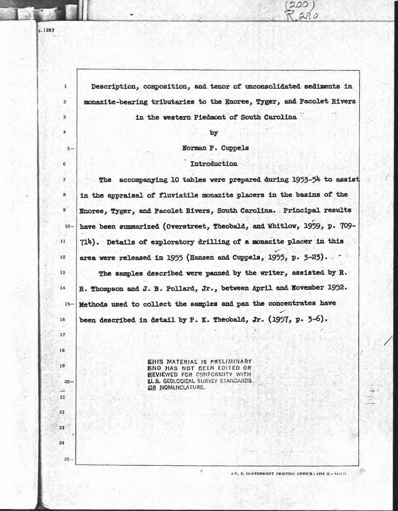
Descriptlon, composition, and tenor of unconsolidated sediments in
monazite-bearing tributaries to the Enoree, Tyger, and Pacolet Rivers
in the western Piedmont of South Carolina
--.. - . "'.," "' ;- -'/ : * < '& ' - by ' I^'SU
Herman P. Cuppels
- - ', ,A . .... Introduction
The accompanying 10 tables vere prepared during 1953-5^ to assist
in the appraisal of fluvlatile nonazite placers in the basins of the
Enoree, Tyger, and Pacolet Rivers, South Carolina. Principal results
have been sunanarized (Overstreet, Theobald, and Whitlow, 1959> ? 709-
T&). Details of exploratory drilling of a nonazite placer in this ' -K-^'' v' "~. V. '»'->?--.''
area vere released In 1955 (Hansen and Cuppels, 1955, P* 3-23)* - '
The samples described vere panned by the mriter, assisted by R.
R. Thompson and J. B. Pollard, Jr., between April and Hoveriber 1952..'-Vif'. >.:-! ,- '- .,
Methods used to collect the samples and pan the concentrates have^
been described in detail by P. K. Theobald, Jr. (1957, ? 3-6)-
MATERIAU ISHAS NOT BEEN EDITED OR
BEVIEWED FOR CONFORMITY WITH V.& GEOLOGICAL SURVEY STANDARDS
* V. S. GUVCKKMUNT HH1NT1NO OFFICE « IW O - ^111 71

.1267
5-
10-
II
12
13
15
16
17
18
19
The mineralogical analyses recorded in the tables vere made in
1952-53 by M. H. Girhard, H. B. Groom, Jr., R. p.. Marquiss, C. J.
Spengler, Jerome Stone, and B. J. Young in the laboratories of the U.
S. Geological Survey. Methods used to prepare the concentrates,
identify the minerals, and transpose expressions of abundance from
percentage by numerical frequency to percentage by weight,-of*the con-* ' .-' ::' -"- '.- ,- ' -.' -' (
centrate have been summarized by Overstreet, Theobald, Whitlow, and
Stone (1956, p. 692-694). Aspects of new methods of sample splitting^ - / ' . - | -*., .' - -.( j.* ..'--vv.,. f<' . . "> " ' 3- ' ;
evolved during the work were discussed by Richard Kella^her and F. JVp- ,. ?''% .*- '''.
Flanagan (1956, p. 213-221). A nomogram devised to obtain percent
composition by weight from the grain counts of minerals was reviewed
by R. M. Berman (1953, p. 120-123).
The field and laboratory work was sponsored by the Division of
Raw Materials of the U.S. Atomic Energy Commission.
Location of the samples
Samples from the drainage basin of the Enoree River are described
in 3 tables (tables l6-l8) numbered in sequence after the tables pre
sented by D. W. CaldwellJ
./Caldwell, D. W., 1962, Description, composition, and tenor of* f ' '*-,,"*'c'i'-- - " ' ^ ~"~ *\ ''"' *"a Vf "? *' :>* ' r** " i -
unconsolidated sediments in monazite-bearing tributaries to the' 4-:»:;C^* vieK-*'.. '.''.- i^.:f v:^ &.£ ' ' "':''fr .-..^' "> Savannah and Saluda Rivers in the western Piedmont of South Carolina:
U. S. Geol. Survey Open-file Rept., 19 p. 2 figs., 15 tables.
20
21
22
23
24
25-
t>m\tlftt} OetK'K I I«» U - -III
.1267
2H- \>
' * *
5-
10-
u
12
13
14
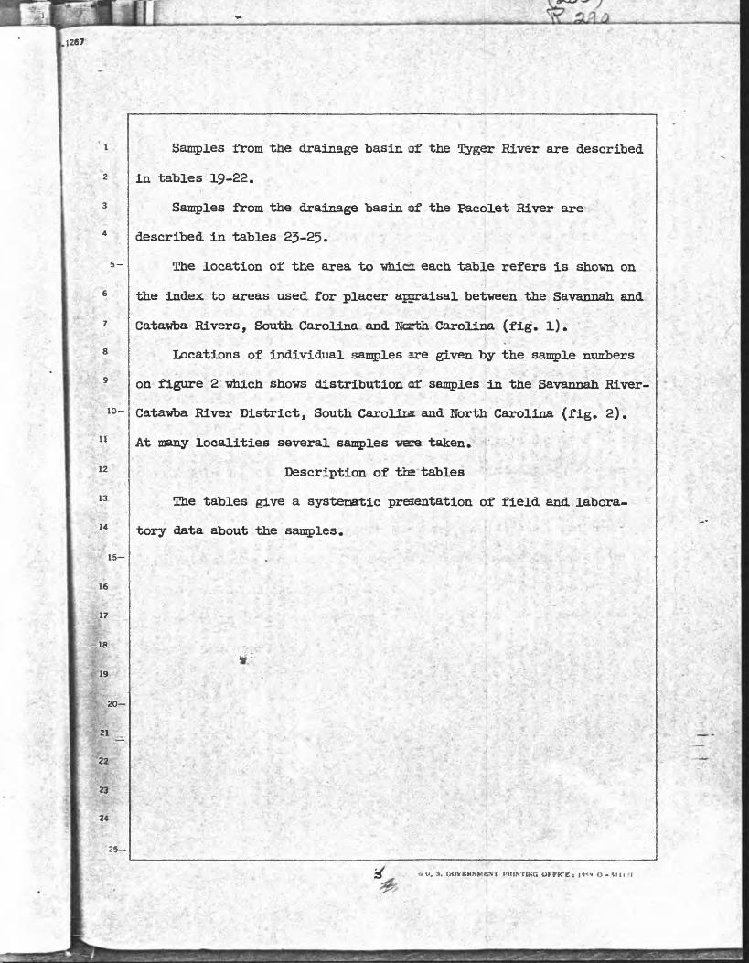
Samples from the drainage basin of the Otyger River are described
in tables 19-22.
Samples from the drainage basin of the Pacolet River are-
described in tables 23-25.
The location of the area to whicr each table refers is shown on
the index to areas used for placer ajgraisal between the Savannah and
Catawba Rivers, South Carolina and North Carolina., (fig. l).
Locations of individual samples sre given by the sample numbers
on figure 2 which shows distribution of samples in the Savannah River-". ;- -v ' i-y^. ' v """ V '- -**
Catawba River District, South Caroliiat and North Carolina (fig. 2)t
At many localities several samples were taken.
Description of tbs tables
The tables give a systematic presentation of field and labora
tory data about the samples.
15-
16
.17
18
19
20
21
22
23
24
25-
3 « O. $. QOVCHHMKNT PKINTING OVfKt. I ! »*» O - till -I

Block, station number, and depth of sample
belov surface of flood plain
The block and station number identify the location of each
sample. Blocks are identified by letter and stations by number vhich
do not repeat in a given map area.
"Depth of sample belov the surface of flood plain (feet)" is the
measure of the vertical position of a sample belov the top of the
flood plaln.H For riffle samples it is the measure of the vertical
height of the banks of the present channel of the stream.
Sample numbers
Sample numbers follov the system: (1) the calendar year in vhich
the sample vas collected is shown by the left-hand digits, (2) the
collector is Indicated by the pair of letters, (5) the samples progress
in numerical sequence througiout the year, and (It) the right-hand. ' }>- .-
digits shov the position of a sample In the sequence collected in a
given year by an individual. Thus, sample number 52-CS-5^ vasp
collected in 1952 by Hi P^ Cuppels, and it is the 3^6th sample taken
by Mm that year.
l. S. GOVERNMENT PRINTING OWCC i HM O**I1I7I
I '
it
! t

lio-
15
5
7
8
19
20
25
Material sampled
The column headed "Material Bandied" contains entries which give
a summary of the position and grade size of the sediment sampled.- ' *.' :>>' '-. " < ?V---- ' -A*-.'!;.
Position Is designated as "riffle," "bank," or "terrace" .: >, -... .x v- y"'v»i'-.
accordingly as the sample -was taken from the bed of the present
channel of the stream, from a bank of the present channel, or from '<i--< *, terrace deposits of an older fluvial deposition than the "bank" nnfl
"riffle" sediments. ,,
Grade size of the unconsolidated sedimentary; material sampled vas' ' ' ' 1 V'.1 «,' : -' -.'',--».
classed as gravel, sand, silt, or clay according to field criteria. '
Clay and silt vere identified by, the feel and cohesiveness of the . - :'.-..*<.. ;.&* -;y *-;? *,y^'c^V >. :*;.'!.
sedimentary material. Alluvium vas described as clay if, it vas
unctuous orv its matrix vas both unctuous and the dominant component/
and If it vas sufficiently tenaceousjto roll into rods between one's
hands. Fine-grained sediments that vere incapable of being rolled
into rods vere called silt. Various uncoheslve, gritty, fine-to
coarse-grained sediments were called, sand or gravel depending upon
the part of the material from the original volume (0.3)1 cu. ft.) that
passed througi the sieve and vas' caught in a pan after washing and
screening the sample througi a 1/8-inch sieve. In. two-component
mixtures of sand and gravel the sediment vas called sand if O.l8 cubic
foot or more material passed through the sieve, and it vas called
gravel if less passed through. Three- or four-component mixtures vere
classed as gravel or sand accordingly as the dominant constituent vas»* ' ' ''.' "' '.' , V
retained on the sieve or caugit in a pan belov the sieve. ,v w v r..
*U. S. GOVERNMENT OrriCE I 19»9 O - SII1TI
<!'!'!"<!': liiS
Li i

5-
10
15
20
25-
Screening characteristics
The "Screening characteristics" of a sample are,field description
of .the sediment. Sizes of particles are divided into plus 1/i inch,
minus 1/H> inch to plus 1/8 inch, and minus 1/8 inch according to the
size of aperature of sieve on which the particle was retained, or
througi which it passed, when the sample was screened to prepare it
for panning.
The Wolume ratio" given in the table under "Screening^. ' . ki-.:'J.?
characteristics" is an expression to show the part of the original
sajmxle in each size class. It is based on an original volume of O.J^
cubic foot, and Is the measured volume in hundredths of a cubic foot >
of the component expressed as a whole number.
Material listed as "Minus 1/8 inch" is divided into "Sand" and
"Silt and clay." For sand the volume ratio was measured, but the silt
and clay is sediment that suspends in water and cannot be measured
by the system used in the field. Hence, an estimate of the silt andV-. v*r j" *. # *'> :--j*.>;-~-&'-&j&->'-\<f-''':*-->-.» -.,, ,,^ ,j_- f ? _ ^ -jv - ;-. .. '<**.<
clay is given under "Abundance" In the same unit used for volume.
The few originally larger or smaller samples than the standard have
been recalculated to equal the standard volume.
.i
* V, 9. OOVEKMMEMT PHIMTIHO OFFICC | i?« O llltTl
15
20
1
Z
a
* ^
125
Estimates of the percentages of the different detrital components
coarser than 1/8 inch vere made to determine variations in the gross
character and degree of weathering of the bedrock in the drainagev "-£"' * > -
basin* A dominance of quartz and potassium feldspar over rock
fragments indicates lack of exposures of urtweathered rock in the
drainage basin. The "Maximum intermediate dimension (inches) 1* gives
the length of the intermediate dimension of the largest fragment in' '--'''.. - ' r- -. ' - . -> .* i '. ' ,"'.. .. j ' ' :V, J^^vj: :wrvv. *-. ' - :-.'; ' - '- '' >- --^ :- ." -. .'-. # if^iv- ' ': . ..;^'1--V'i,-
the sample of alluriua.
Abbreviations for "Composition1* and for other parts of the table
are:
ft U. S. COVeRNMBMT PRDTTIMO
I'-if!
ill!tMfc
tw d

5-
10-
1 r'
15
16
20
25-
J
Word
Amphibole
Biotlte gneiss
Biotite-hornblende gneiss
Biotite schist
Calc-silicate rock
Chlorite schist
Diabase
Epidote
Feldspar
Gabbro
Garnet
Granite
Hornblende
Hornblende gneiss
Kyanite
Limestone
Magnetite
Muscovite
Organic fragments
Fegnatite
Quartzschist
Trace
Abbreviation
Xenotiae
bio ga
bio-hgn
bio sch
calc-silicate
chl sch
diab
ep
fels
gar
gr
hnb
hgn
raise
organic frags
peg
qtzsil sell pi tour tr
. a. o(£?i3tMCNT PHWTma orrtcc t i»»? o - tim?
*'m I
qiji
,i»iits
5fti

5-
10-
16
17
8.
19'
20
Rl
25-
Minerals in concentrate
The columns under "Minerals in concentrate" shov the veight of
the concentrate in grams, the "Sieve fraction/ seven minerals of
possible economic interest, seven accessory minerals, and a column for- yr
other minerals. Weight of the concentrate shovs the amount of mineral!
panned from a sample of standard size (0-5^ cu. ft.)- Under "Sieve
fraction" the size distribution of the minerals in the concentrate is
shown by weight percentage retained on the ^ 100^ and ITO^mesh sieve*
Where the percentage of the concentrate caught on the 32-mesh sieve or.'V,W3 ̂ -V'"M^.* ->: £ *: .A:^ . ' ;,-passing through the 170-mesh sieve is greater than 1 percent^it is
<V L - !-* *'" '- ' ' I ,' ~'
also recorded.
ftU. fl. OOVERWMENT PRMTINO OrriCE i 19»9 O- tlltTl
ill

The seven Binerals of possible economic importance are monazite,
llmenite, rutile, zircon, garnet, kyanite, and silHmanite. Abundance
of each of these minerals in the panned concentrate is shown as a
weight percentage of the concentrate. Dashes are used in the columns
headed "Percent of concentrate1* to show that the mineral was looked
for but not found. Trace means that the mineral is present but makes
lO-
11
12
13
14
15
r
17
18
f[ 20
up less than 1 percent of the weight of the concentrate.L The tenor/^ I" -- ::v-,/-.:C-
of these possibly economic minerals -aare given as pounds per cubic yard>«£' >r< v^'.-.Vv-.:^ ''.
of sediment in place. Tenors estimated to be less than 0.1 pound' -:" _ '-.'A j*.. .--. ' T-%-^,:.'« >_?? '^^':'"-,'j:^-'->,. ..« (
per cubic yard are recorded to show the sparseness of the mineral, but
the estimates of less than 0.1 pound are not reliable. Tenors have"" w ,
.. "» " **.-
been adjusted for swell to reduce the measured volume of the sample
to approximate volume in place. For reduction of swell the factors
published by Peele and Church (l9Hl> v. 1, p. 3-Oj) were used:
Class of alluvium
Riffle sand and gravel
Bank silt, sand, and loose gravel
Clay and compact bank gravel
Swell (in percent)
20
35
25-
. » Iiln:
Iir ll;
1!
*U. 8. GOVERNMENT PKINTIMO OmCE I Ml O-SI 1171

5-
Ho adjustment for recovery in panning was applied to the
estimated tenors of the samples, because the recovery is different for
different minerals in the different classes of sedimentary materials.
Recoveries of monazite, the mineral vith which, the work is concerned,-'"?-''' *T-.
were about 8H percent in the different materials, and the recoveries
of the other minerals ranged from about Ho to 90 percent -with the
lowest recoveries being for minerals in samples of silt and clay
10-
11
12
13
14
15
16
17,
18
19
20
21
22
23
24
(Theobald, 1957, P-
The abundance of the accessory minerals of no economic value
are shown as weight percentage of the concentrate. Estimates of tenon' T".- "* A. ," V',\j -.; ;.
have not been prepared. Staurolite is here classed as an accessory
instead of an economic mineral because of its general sparseness in
the high-grade metamorphic rocks on which the fluvial placers are* ̂ V '
developed*
"Others** lists minor accessory minerals of infrequent occurrence.
The name of the minor mineral is written above percentages showing - '. ' '. ' > * <..>--» its abundance in the concentrate* Abbreviation of the names of the
minerals were given above.
*U. ». GOVERNMENT PRINTING OmCft 1949 O-MII71
IL
-iklifer
8 ;.;
9 ^
10-
11
12
13
16I *'
17
'. ' V 18-
19V
20-
'21
t[22 y
k23_
.** ' '
25-
References cited
Bex-man, R. M*, 1953, A nomogram for obtaining percent composition byt>7/ weight from mineral-grain counts: Jour. Sed. Pefy, v. 23,
p7 120-12J.
Hansen, L. A., and Cuppels, H. P., 1955, Monazite placer at the
Junction of the Horth Tyger River with the Middle Tyger River,
Spartanburg County, South Carolina; U.S. Atomic Energy Coma.
RME 3H7, P- 3-23-
Kel 1 agher, Richard, and Flanagan, F. J., 1956, The multiple cone-; -'~'l^~, _ - _ '.-.- -xr "* " "" ,- ' ~ - "
splitter: r jour. Sed. Petrology, T. 26, no." 3, p. 213-221.
OTerstreet, W. C., Theobald, P. K., Jr., Whitlow, J. W., 1959,
Thorium and uranium resources in nonazite placers of the western.
Piedmont, Horth and South Carolina; Mining Eng., v. 11, no. 7,
p. 709-71*. * Overstreet, W. C., Theobald, P. K., Jr., Whitlow, J. W., and Stone,
Jerome, 1956, Heavy-mineral prospecting, in- Internet . Conf.;-*" * '''^ '* » '' J;' :%*' - '; 'i''^
- , v '.'.. Tt 'W* :..'* ;
Peaceful Uses Atomic Energy, Geneva 1955, Proc., v. 6, p. 692-
... -'- -.. 7 - - ' Peele, Robert, and Church, J. A., 19^1, Mining engineers' handbook,
*.--. - - - :^.;4:^.v^^ : </,, grd ed.: Hew York, John Wiley and Sons, Inc., p. 1-01 to 1H--66,
plus 63. %,- .;; - ...^ :^r:-VvV^;;'.;.iA,^*"
Theobald, P. K*, Jr., 1957, The 'gold pan as Va quantitative geologic, - ' '. , ' '->' ' ".^"t "Ki:^<-'t'^r ,:<.
tool:~U. 8. Geol. Survey Bull. 1071-A, p. l-5^»
trU. 9. GOVCRMMCNT PRINTWQ OFFICE t ««" O - SUI7I


![PDF] Appendix D - Barry County ORV OrdinanceAppendix D – Barry County ORV Ordinance 1 Appendix D—Barry County ORV Ordinance An Ordinance allowing Off Road Vehicles (ORVs) to travel](https://static.fdocuments.in/doc/165x107/612d78e91ecc5158694235fa/-appendix-d-barry-county-orv-ordinanceappendix-d-a-barry-county-orv-ordinance.jpg)
