South Asia Geography. Nickname for South Asia? “The Indian subcontinent” “The Indian...
32
South Asia South Asia Geography Geography
-
Upload
lesley-simpson -
Category
Documents
-
view
233 -
download
0
Transcript of South Asia Geography. Nickname for South Asia? “The Indian subcontinent” “The Indian...
South AsiaSouth Asia
GeographyGeography
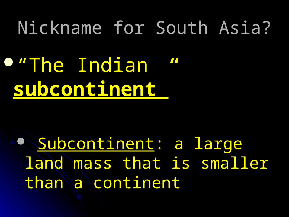
Nickname for South Asia?Nickname for South Asia?
““The Indian The Indian subcontinent”subcontinent”
SubcontinentSubcontinent: a large land : a large land mass that is smaller than a mass that is smaller than a continentcontinent

Indian Sub-Continent/Indian Sub-Continent/South AsiaSouth Asia

3 Physical Geographic Areas3 Physical Geographic Areas
I. Northern MountainsI. Northern Mountains
1. 1. Himalaya Himalaya world’s highest range including world’s highest range including Mt. EverestMt. Everest
form border between Indian form border between Indian
Subcontinent and ChinaSubcontinent and China


HimalayaHimalaya

Himalaya- EverestHimalaya- Everest

3 Physical Geographic Areas3 Physical Geographic Areas
I. Northern MountainsI. Northern Mountains
2. 2. Hindu Kush Hindu Kush On NW border with AfghanistanOn NW border with AfghanistanHelped isolate the regionHelped isolate the regionKhyber PassKhyber Pass

Hindu KushHindu Kush
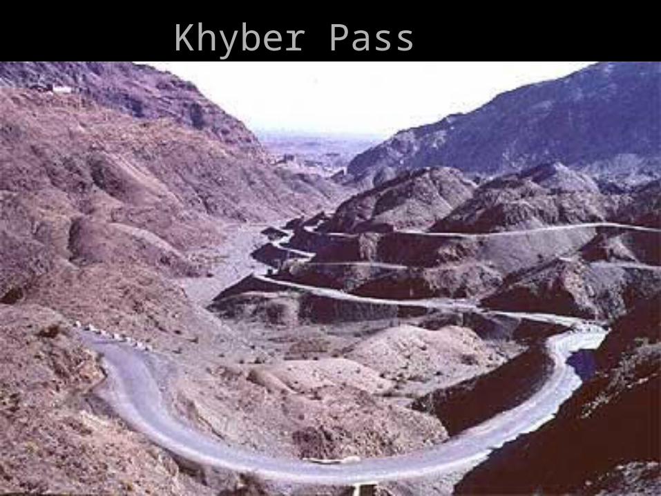
Khyber PassKhyber Pass

3 Physical Geographic Areas3 Physical Geographic Areas
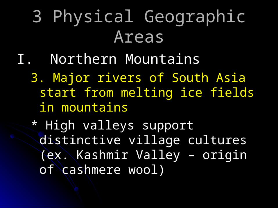
I. Northern MountainsI. Northern Mountains3. Major rivers of South Asia start from 3. Major rivers of South Asia start from
melting ice fields in mountainsmelting ice fields in mountains
* High valleys support distinctive village * High valleys support distinctive village cultures (ex. Kashmir Valley – origin of cultures (ex. Kashmir Valley – origin of cashmere wool)cashmere wool)

Sheep in Kashmir ValleySheep in Kashmir Valley

3 Physical Geographic Areas3 Physical Geographic Areas
II. Northern PlainsII. Northern Plains4. 4. Indo-Gangetic Plain Indo-Gangetic Plain (p. 781)(p. 781)
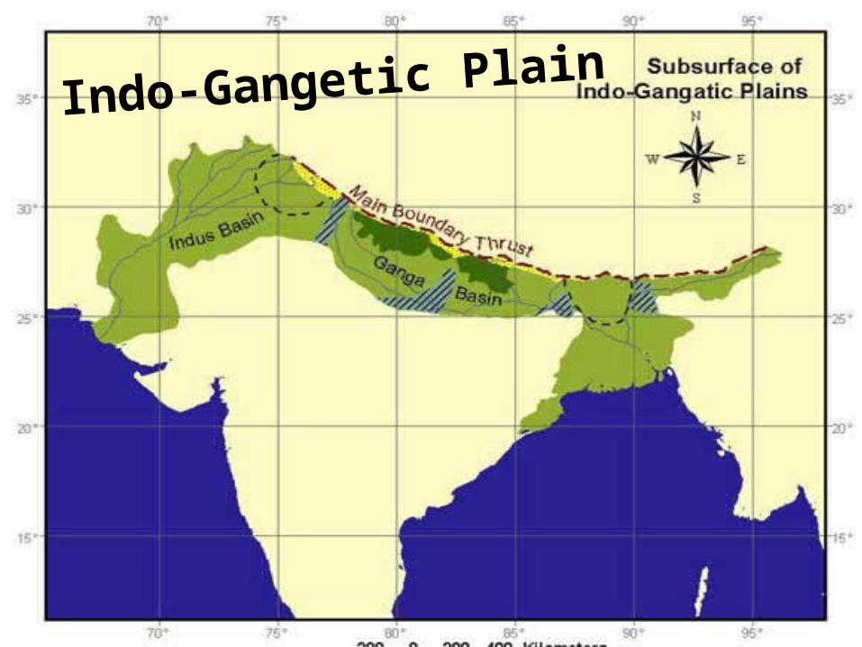
Indo-Gangetic Plain

3 Physical Geographic Areas3 Physical Geographic Areas
II. Northern PlainsII. Northern Plains4. 4. Indo-Gangetic Plain Indo-Gangetic Plain (p. 781)(p. 781)
From Pakistan to India to BangladeshFrom Pakistan to India to BangladeshFresh waterFresh waterFertile soil – “bread basket”Fertile soil – “bread basket”High population densityHigh population density

3 Physical Geographic Areas3 Physical Geographic Areas
II. Northern PlainsII. Northern Plains5. Rivers5. Rivers
Indus River Indus River major river in Pakistan major river in Pakistan high population densityhigh population density “ “cradle of civilization”cradle of civilization”

3 Physical Geographic Areas3 Physical Geographic AreasII. Northern PlainsII. Northern Plains
RiversRivers5. 5. Ganges RiverGanges River
Flows through India and joins the Flows through India and joins the Brahmaputra River in Bangladesh Brahmaputra River in Bangladesh to form a deltato form a delta
Delta is very fertile, but has severe Delta is very fertile, but has severe floodingflooding
Sacred to HindusSacred to Hindus

Ganges RiverGanges River

Ganges River DeltaGanges River Delta

3 Physical Geographic Areas3 Physical Geographic Areas
II. Northern PlainsII. Northern Plains6. 6. Thar DesertThar Desert
NW India and N PakistanNW India and N PakistanSize of ColoradoSize of ColoradoHome to nomadic herdersHome to nomadic herders

Thar Desert Thar Desert

3 Physical Geographic Areas3 Physical Geographic Areas
III. III. Deccan PlateauDeccan Plateau7. High, flat land that covers half the 7. High, flat land that covers half the
subcontinentsubcontinentPopulated by farmersPopulated by farmers8. 8. Vindhya Mts.Vindhya Mts.
Northern border of Deccan PlateauNorthern border of Deccan Plateau separate N and S Indiaseparate N and S India barrier to travel and communicationbarrier to travel and communication


Deccan PlateauDeccan Plateau

3 Physical Geographic Areas3 Physical Geographic Areas
3) 3) Deccan PlateauDeccan PlateauThe Ghats The Ghats – low-lying mountains– low-lying mountains
Named after “ghats” or passes that Named after “ghats” or passes that cut through themcut through them
Western Ghats on Arabian Sea Western Ghats on Arabian Sea blocked European explorers from the blocked European explorers from the interiorinterior
Eastern Ghats permitted Europeans Eastern Ghats permitted Europeans access to interioraccess to interior

Western GhatsWestern Ghats

Eastern GhatsEastern Ghats

Sri Lanka


GORGEOUS but….highest point: 7’ 7” GORGEOUS but….highest point: 7’ 7”
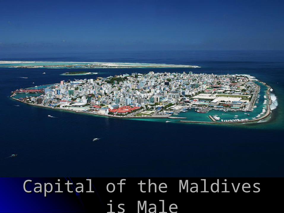
Capital of the Maldives is MaleCapital of the Maldives is Male