Role of the GIS in the Economic and Social Development Workshop Requirements for a GIS System...
10
Role of the GIS in the Economic and Social Role of the GIS in the Economic and Social Development Workshop Development Workshop Requirements for a GIS System Requirements for a GIS System Presented by Abdo Chalhoub ICT Project Manager, Technical Cooperation Unit Office of the Minister of State for Administrative Reform (OMSAR), Lebanon
-
date post
22-Dec-2015 -
Category
Documents
-
view
214 -
download
0
Transcript of Role of the GIS in the Economic and Social Development Workshop Requirements for a GIS System...

Role of the GIS in the Economic and Social Role of the GIS in the Economic and Social Development WorkshopDevelopment Workshop
Requirements for a GIS System Requirements for a GIS System
Presented by Abdo ChalhoubICT Project Manager, Technical Cooperation Unit
Office of the Minister of State for Administrative Reform (OMSAR), Lebanon
2
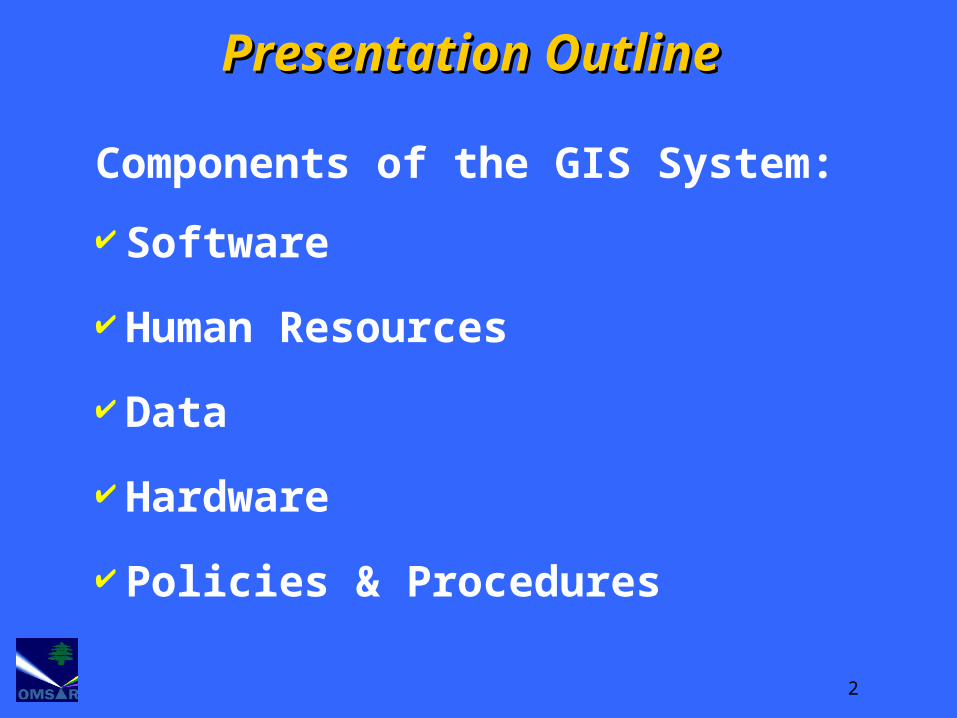
Components of the GIS System:
Software
Human Resources
Data
Hardware
Policies & Procedures
Presentation OutlinePresentation Outline

3
GIS Requirements:GIS Requirements:SoftwareSoftware
GIS Packages:GIS Packages:ESRI Products: ARC GIS ESRI Products: ARC GIS Intergraph Products: GeoMediaIntergraph Products: GeoMediaAnd many other Products: And many other Products:
Mapinfo, Geoconcept, etc..Mapinfo, Geoconcept, etc..Tailored Applications:Tailored Applications:Specially Developed for organizations Specially Developed for organizations
based on their specific needsbased on their specific needs

4
GIS Requirements:GIS Requirements:Human ResourcesHuman Resources
GIS is relatively new GIS is relatively new technology for the technology for the Lebanese Government Lebanese Government therefore:therefore:
Training and awareness Training and awareness programs are requiredprograms are required
Raising Awareness such as : Raising Awareness such as : workshops, seminars to workshops, seminars to highlight the capabilities of highlight the capabilities of GISGIS

5
GIS Requirements:GIS Requirements:Human Resources Human Resources (Continued)(Continued)
Training requirementsTraining requirementsThere are two types of users:There are two types of users:
1.1. Application administration Application administration (responsible for data (responsible for data preparation):preparation):This type of users requires an This type of users requires an
advanced level of GIS advanced level of GIS knowledgeknowledge
2.2. GIS users (data manipulation):GIS users (data manipulation):Only requires basic knowledge Only requires basic knowledge
of GIS of GIS

6
The The Data is :Data is :
• TThe ‘Fuel’ for GIShe ‘Fuel’ for GIS
• TThe most costlyhe most costly component:component:80% of the cost of 80% of the cost of
GISGIS relates to relates to datadata
GIS Requirements:GIS Requirements:DataData

7
Type/Source of Information:Type/Source of Information:Base Maps: Administrative boundaries, Base Maps: Administrative boundaries,
contour lines, roads, etc ..DAGcontour lines, roads, etc ..DAGThematic Maps: land use, bird flu, Thematic Maps: land use, bird flu,
schools, farms, hospitals (to be schools, farms, hospitals (to be developed by the organization itself or developed by the organization itself or outsourced)outsourced)
Data Model: compatible with the Data Model: compatible with the National National GIS Data ModelGIS Data Model (the 10 Themes of DAG) (the 10 Themes of DAG)
Special consideration should also be given to Special consideration should also be given to having a standard format of Metadata to having a standard format of Metadata to facilitate data exchangefacilitate data exchange
GIS Requirements:GIS Requirements:Data Data (Continued)(Continued)

8
For Application Administration:For Application Administration:Dual Xeon Processor (3 GHz or better)Dual Xeon Processor (3 GHz or better)4 GB RAM4 GB RAMFast Storage Controller (SCSI)Fast Storage Controller (SCSI)256-bit Video Card with 256 MB video RAM 256-bit Video Card with 256 MB video RAM Support 2 MonitorsSupport 2 Monitors22” Monitor22” Monitor
For GIS users:For GIS users:Pentium IV Processor (3 GHz or better)Pentium IV Processor (3 GHz or better)2 GB RAM2 GB RAM128-bit Video Card with 128 MB video RAM 128-bit Video Card with 128 MB video RAM 22” Monitor22” Monitor
For External GIS users (Web users):For External GIS users (Web users):Any Machine running Web Browsing Any Machine running Web Browsing
SoftwareSoftware
GIS Requirements:GIS Requirements:HardwareHardware

9
For:For:• How and when to update How and when to update
data (Maps, GIS Layerdata (Maps, GIS Layers, s, etc..etc..))
• Who can update Who can update • Backup and recoveryBackup and recovery• Information SecurityInformation SecurityEtc..Etc..
GIS Requirements:GIS Requirements:Policies & Policies & ProceduresProcedures

10
Useful web site resources:
http://www.informs.gov.lb http://www.OMSAR.gov.lb
Eng. Abdo ChalhoubICT Project Manager
Technical Cooperation Unit