Resources from the Land & Sea
153
Resources from the Land & Sea
Transcript of Resources from the Land & Sea
Resources from theLand & Sea
Primary Resource ActivitySecondary Resource ActivityTertiary Resource Activity
Primary Resource Activity:Includes agriculture, fishing, forestry
and mining.
The primary industries are associated with resource extraction and agriculture.

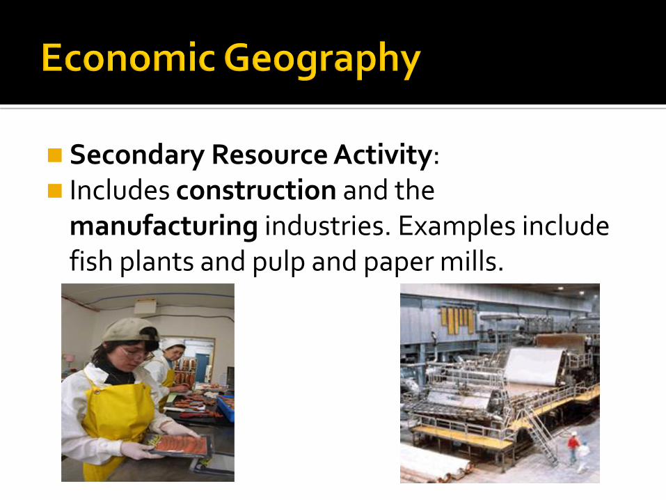
Secondary Resource Activity: Includes construction and the
manufacturing industries. Examples include fish plants and pulp and paper mills.

Tertiary Resource Activity:
Covers the service producing industry. Example Clothing stores, restaurants, etc.
Example: Coffee Beans (Primary Resource Activity)Filter Coffee (Secondary Resource Activity)Coffee Sold (Tertiary Resource Activity)
For a natural occurring material to be considered a resource it MUST meet all three of the following conditions.
1. Need or Want: A culture must have a need or a want for the natural material itself or things requiring the natural material. Example: Hibernia Oil field (potential resource).
2. Technological Development- A culture must have technological capabilities to extract and develop the natural material. Example: The oil in Hibernia was not a resource until we developed the proper machinery to extract it.
3. Profitability- A culture must be able to make a profit from the material. Example: Since 1997, the Hibernia project has been profitable.
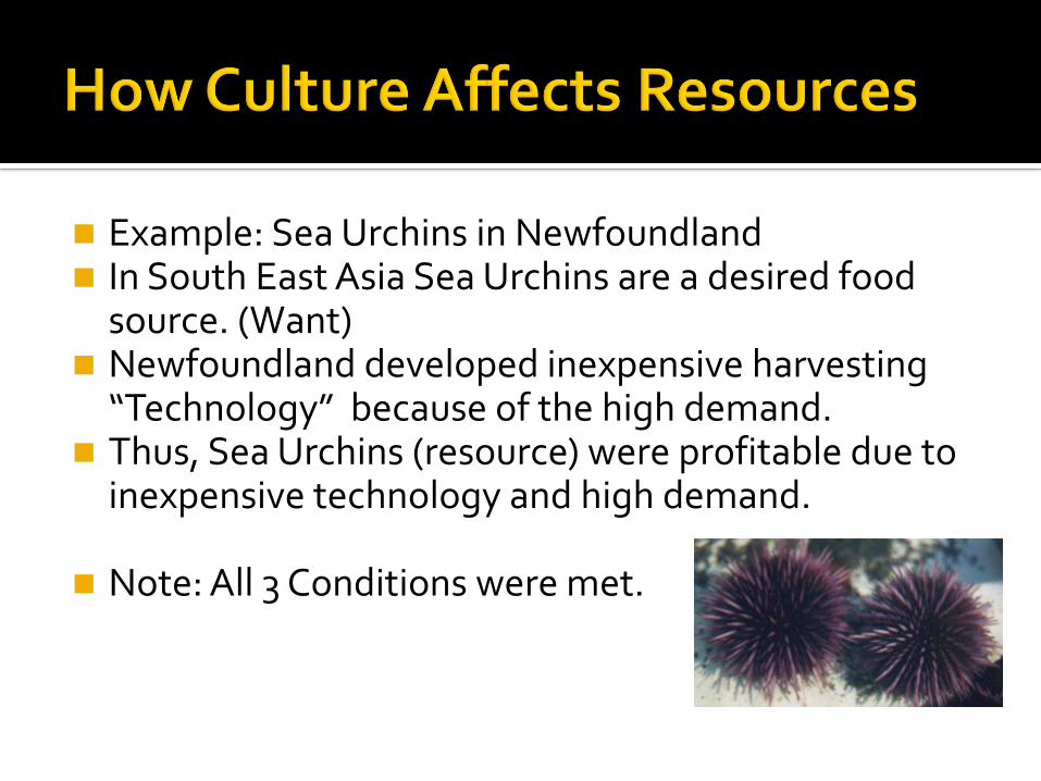
Example: Sea Urchins in Newfoundland In South East Asia Sea Urchins are a desired food
source. (Want) Newfoundland developed inexpensive harvesting
“Technology” because of the high demand. Thus, Sea Urchins (resource) were profitable due to
inexpensive technology and high demand.
Note: All 3 Conditions were met.

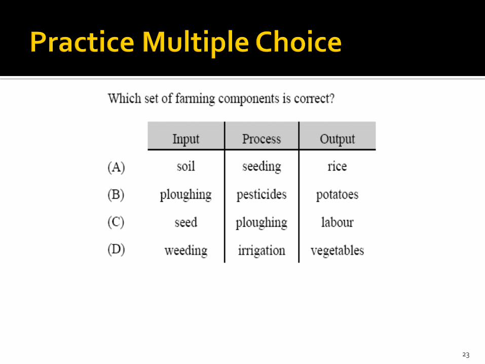
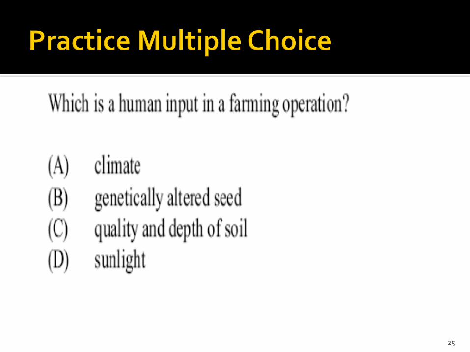
Refers to those things that are put into the system, either naturally or by humans.
For example, in farming:
Human inputs: Labour, equipment, fertilizer and irrigation systems
Natural inputs: Sunshine, heat and soil type.
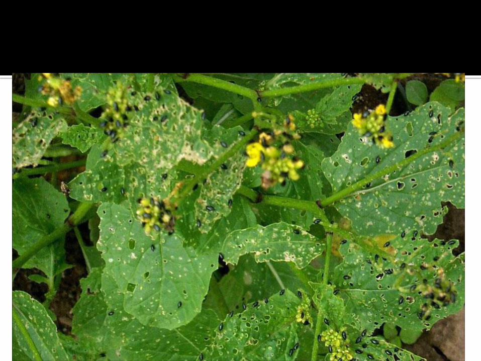
s in your crops…
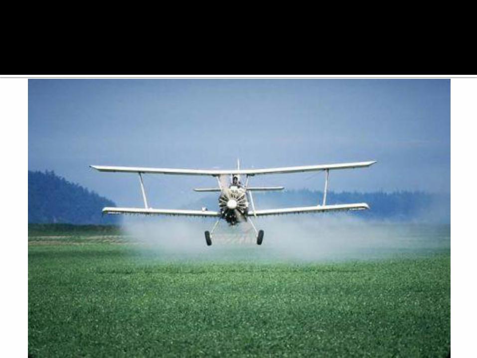
se processes like pesticides to get them out!
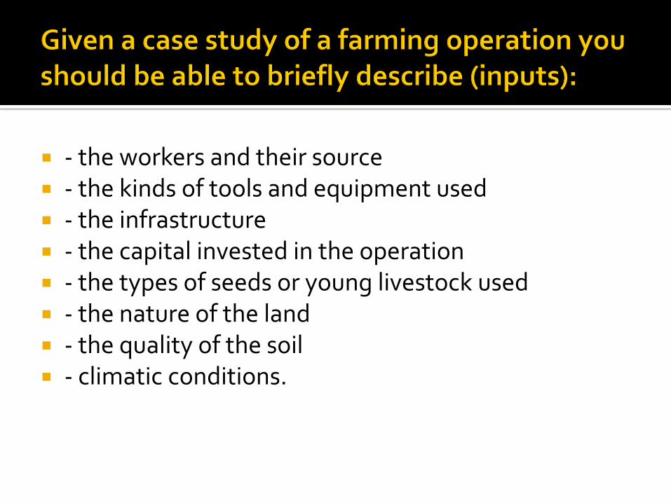
- the workers and their source - the kinds of tools and equipment used - the infrastructure - the capital invested in the operation - the types of seeds or young livestock used - the nature of the land - the quality of the soil - climatic conditions.
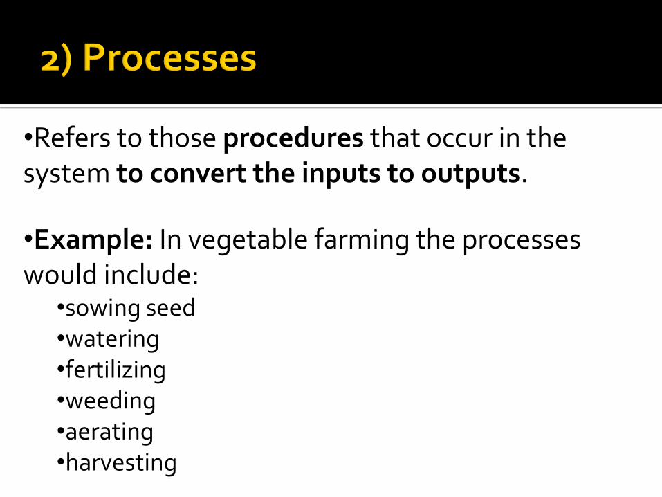
•Refers to those procedures that occur in the system to convert the inputs to outputs.
•Example: In vegetable farming the processes would include:
•sowing seed•watering•fertilizing•weeding•aerating•harvesting
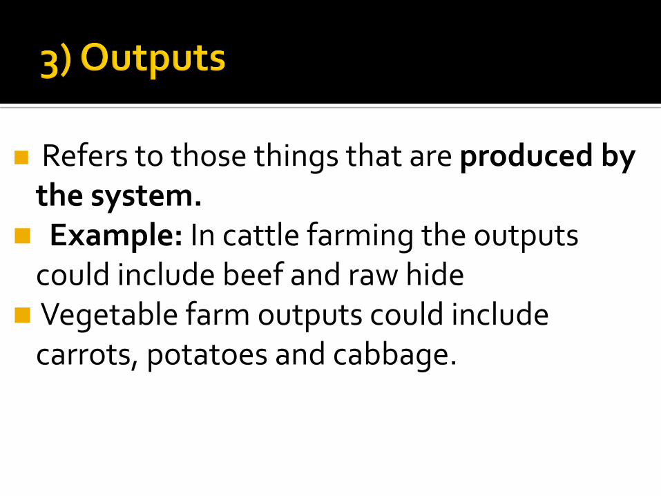
Refers to those things that are produced by the system.
Example: In cattle farming the outputs could include beef and raw hide
Vegetable farm outputs could include carrots, potatoes and cabbage.
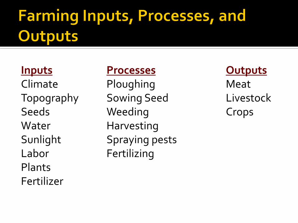
Inputs Processes OutputsClimate Ploughing MeatTopography Sowing Seed LivestockSeeds Weeding CropsWater HarvestingSunlight Spraying pestsLabor FertilizingPlantsFertilizer
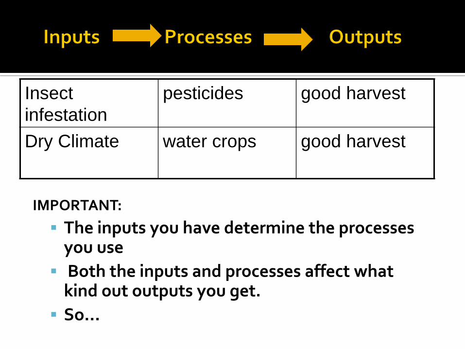
IMPORTANT:
The inputs you have determine the processes you use
Both the inputs and processes affect what kind out outputs you get.
So…
Insect
infestation
pesticides good harvest
Dry Climate water crops good harvest
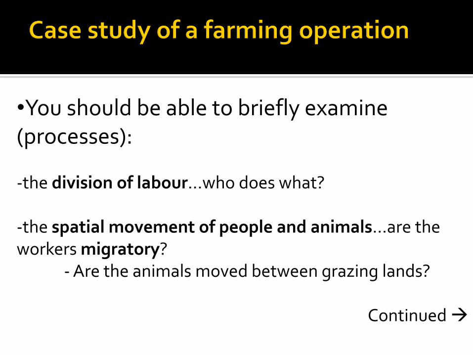
•You should be able to briefly examine (processes):
-the division of labour…who does what?
-the spatial movement of people and animals…are the workers migratory?
- Are the animals moved between grazing lands?
Continued

- how the crops are planted; crop rotation, contour plowing, is any land left fallow?
- irrigation and soil maintenance practices…is there a need for watering? How frequently do they fertilize? What do they fertilize with?
- the annual cycle of farming activities- how farming activities spatially arranged
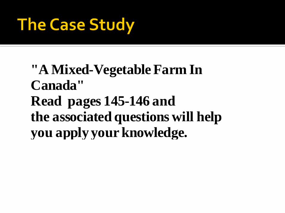
"A Mixed-Vegetable Farm InCanada"Read pages 145-146 andthe associated questions will helpyou apply your knowledge.
23
Natural Inputs- are natures inputs , into a farming system. ( ex. climate , topography, soil etc. )
Human Inputs- are man’s inputs into a farming system. ( ex. labor, seeds, fertilizers, etc.) ( Read pgs 145-146 and complete handout 9.1)
24
25

Farming becomes a commercial activity when farmers produce crops or raise animals primarily for sale to others. (ex. Ferguson’s vegetable farm in Canada…textbook)
26
1. Size of Farm: large commercialoperation
2. Equipment: technologically advanced operations with a low labour requirement.
3. Yields: Scientific farming techniques , use of fertilizers and chemicals , and crop rotation all help increase yields.
27
Classifications of farms:
Commercial farming vs. subsistence farming.
Extensive farming vs. intensive farming
Shifting cultivation vs. agribusiness, vs. nomadic herding
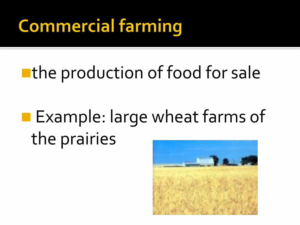
the production of food for sale
Example: large wheat farms of the prairies

Production of food to feed your family.
Example: Sally's vegetable garden in the back yard
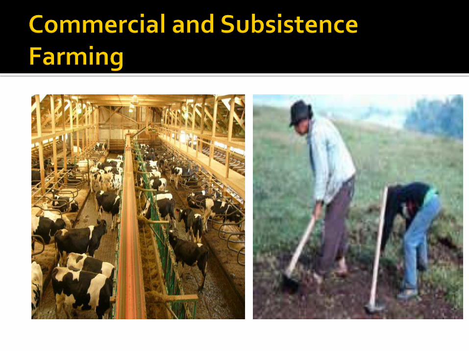
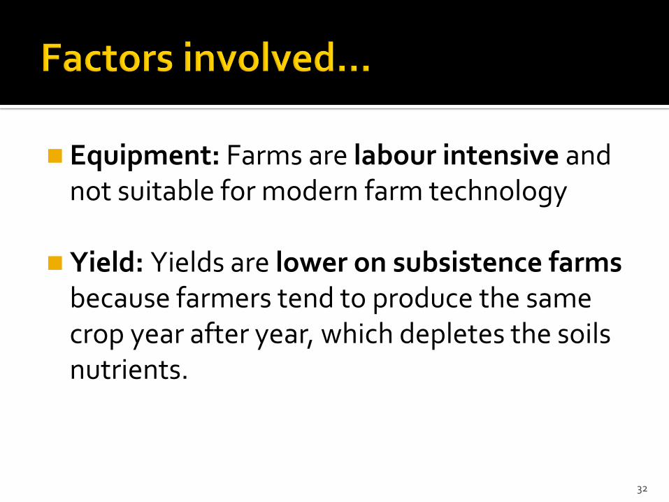
Equipment: Farms are labour intensive and not suitable for modern farm technology
Yield: Yields are lower on subsistence farms because farmers tend to produce the same crop year after year, which depletes the soils nutrients.
32
33
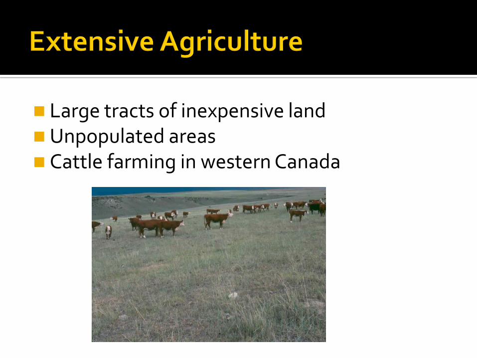
Large tracts of inexpensive land Unpopulated areas Cattle farming in western Canada

uses smaller tracts of landFound in more densely populated
areasExample: Dairy farming in the
Goulds (near St. John’s)
A time-sensitive product located near the market
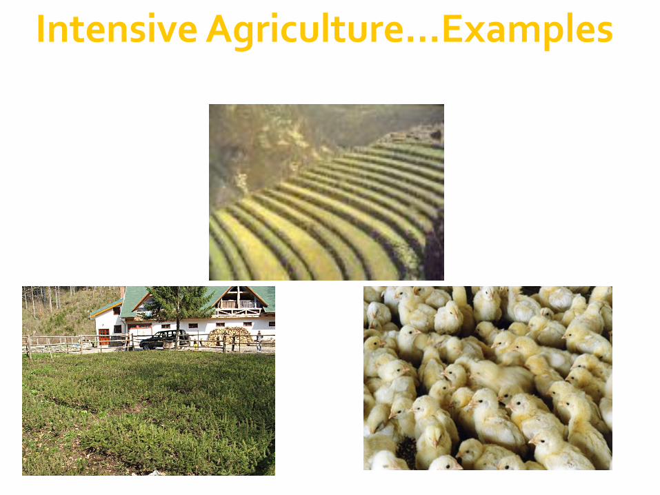
Intensive Agriculture…Examples

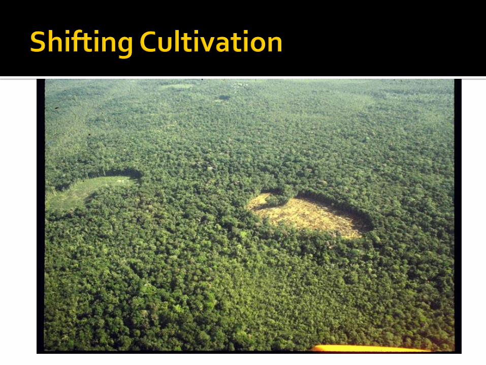
A form of extensive agriculture
Example: Planting crops in a regionuntil fertility diminishes and then moving to a fresh area to plant
This means there must be lots of land available.

similar to shifting agriculture
involves moving from place to place with an extensive use of land
differs in that nomadic herding involves the raising of cattle, sheep or other herding animals.
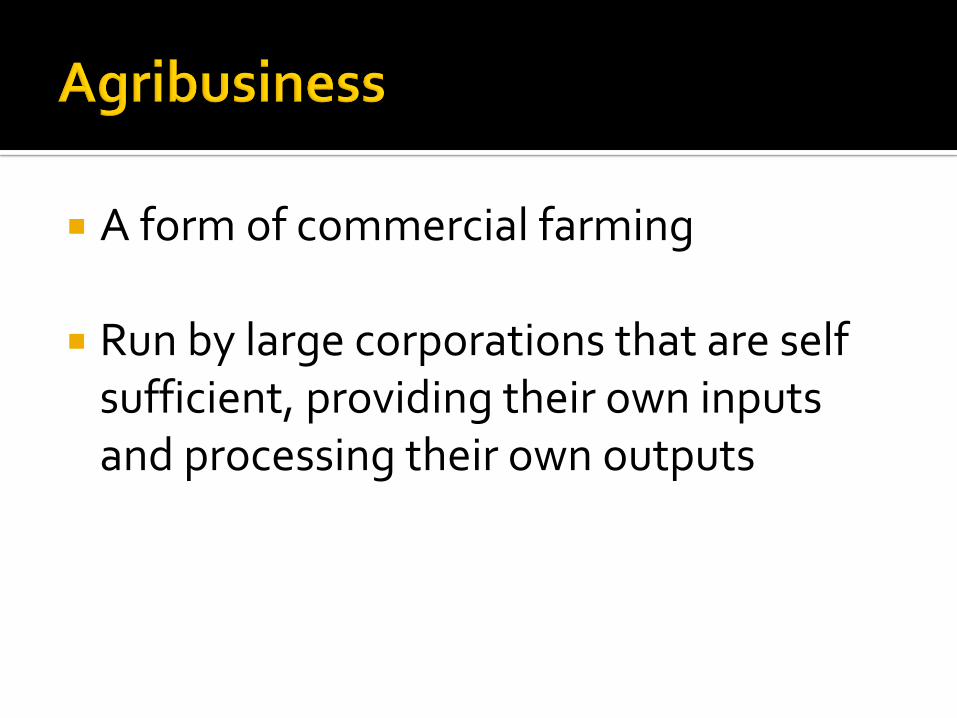
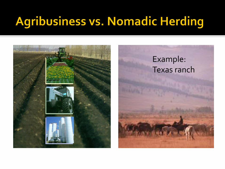
A form of commercial farming
Run by large corporations that are self sufficient, providing their own inputs and processing their own outputs
Example: Food Inc.
Example: Texas ranch
Soil:How to maintain it.
Global challenge: Maintaining soil without threatening fertility.
Various pesticides & other chemical additives are causing long term effects that gradually decrease the fertility level greatly. (note: role of worms/insects…how do they help?)
Soil fertility can be maintained by crop rotation-changing crops on a field each year.
Introduction
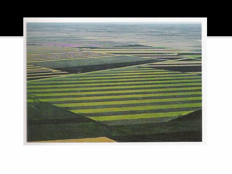
1. Strip Cropping: Crops are grown in strips on an area of land. The idea: Decrease erosion between strips by
growing different crops types side by side that allow erosion at different rates (Example: one crop might have a root system that holds soil together better)
2. Cover cropping: Whenever soil is left fallow (empty) to
replenish it, it may suffer from erosion by wind or water.
To prevent this, a close-growing crop is grown (like hay), then ploughed back into the soil. This increases nutrients.

3. Contour ploughing: A method that respects the natural shape (or contours)
of an area of land. Crops are planted along the contours, which creates
mini-terraces (like steps or shelves), which discourages water run-off.
Instead of the water eroding the soil, it soaks into it.
4. Terracing: Involves constructing steps (shelves) on hillsides or
land slopes. This has the same effect as contour ploughing but is done on a larger scale (bigger farms).


• Complete the following case studies, 1) “Rice Farming in Bangladesh”• Read p. 147-149• Answer questions 7-9 on p. 149
2) Shifting Cultivation in Borneo Read p. 149-151 Answer questions 10 & 11, p. 151
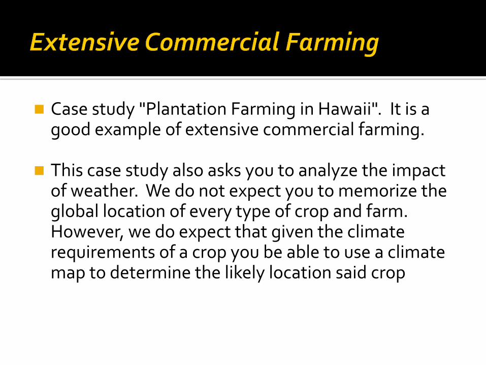
Case study "Plantation Farming in Hawaii". It is a good example of extensive commercial farming.
This case study also asks you to analyze the impact of weather. We do not expect you to memorize the global location of every type of crop and farm. However, we do expect that given the climate requirements of a crop you be able to use a climate map to determine the likely location said crop
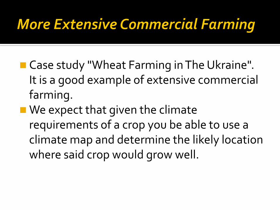
Case study "Wheat Farming in The Ukraine". It is a good example of extensive commercial farming.
We expect that given the climate requirements of a crop you be able to use a climate map and determine the likely location where said crop would grow well.
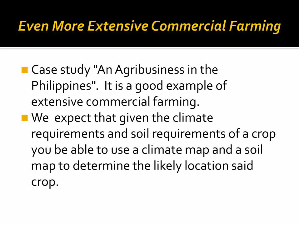
Case study "An Agribusiness in the Philippines". It is a good example of extensive commercial farming.
We expect that given the climate requirements and soil requirements of a crop you be able to use a climate map and a soil map to determine the likely location said crop.
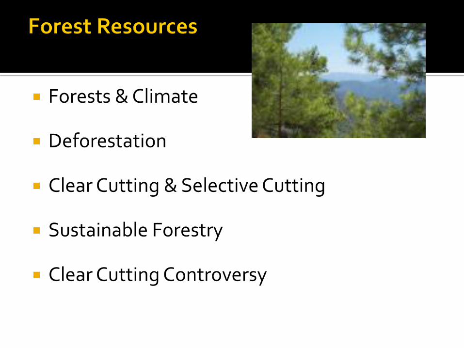
Forests & Climate
Deforestation
Clear Cutting & Selective Cutting
Sustainable Forestry
Clear Cutting Controversy
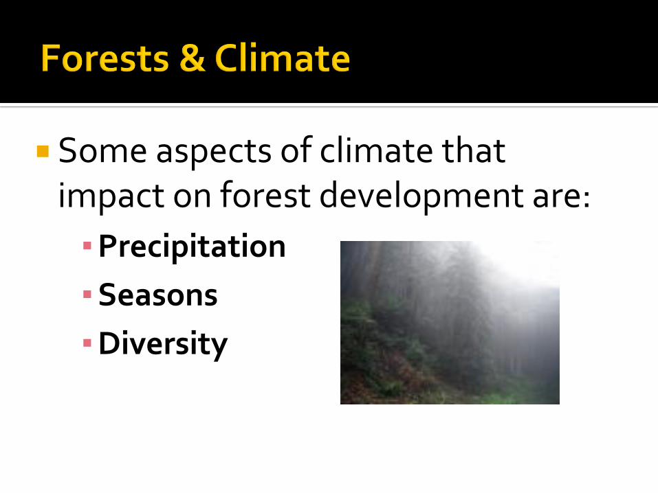
Some aspects of climate that impact on forest development are:
▪Precipitation
▪Seasons
▪Diversity

Forests require a large amount of water. One of the greatest factors that determine
whether a forest will grow in a region is amount of precipitation.
Ex: Tropical areas with high rainfall have tropical rain forests.
Ex: Tropical areas that have intermittent(not constant)rainfall have savannahs.
Temperate regions of the world often have deciduous trees to help them deal with the lack of water availability in winter.
Some regions have dry seasons and they have deciduous trees even though it does not get "cold."
The type of trees and forest present in a region is determined by the climate.

Trees have adapted to climate just as animals have. The needle leaf trees of the coniferous forests are adapted to deal with winter and the lack of available water in winter.
Both the tropical regions of the world and the sub arctic regions of the world have evergreen trees.

Colder regions tend to have less biodiversity Tropical regions tend to have greater
biodiversity. The same is true of trees. Tropical forests tend to be a blend of many
different species. Coniferous forests tend to be "pure stands"
of one type of tree.
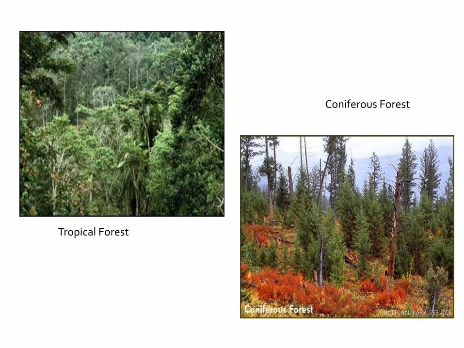
Tropical Forest
Coniferous Forest
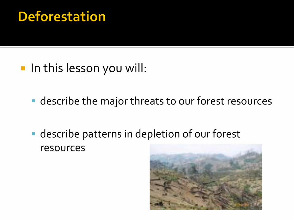
In this lesson you will:
describe the major threats to our forest resources
describe patterns in depletion of our forest resources
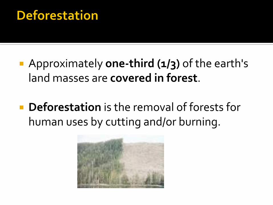
Approximately one-third (1/3) of the earth's land masses are covered in forest.
Deforestation is the removal of forests for human uses by cutting and/or burning.

Biodiversity Habitats for animals Food for animals Air purification (taking in CO2, releasing O2) Water retention Man has used forests for: Recreation, building
materials, home heat and paper .
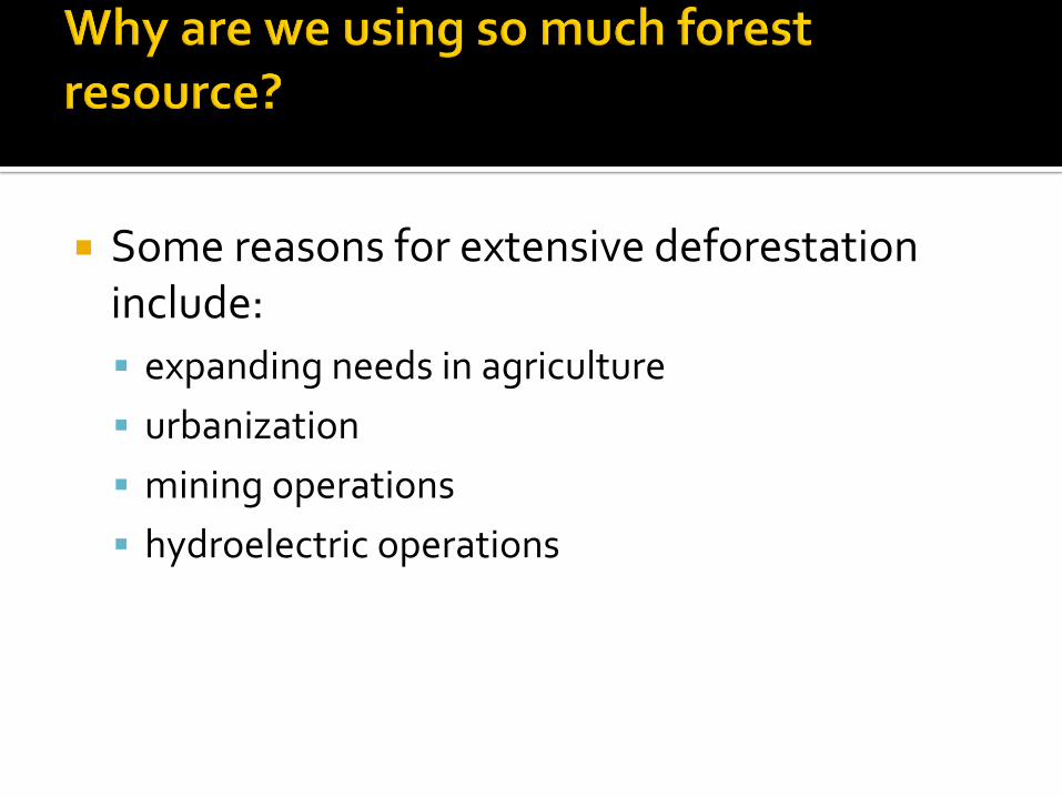
Some reasons for extensive deforestation include:
expanding needs in agriculture
urbanization
mining operations
hydroelectric operations
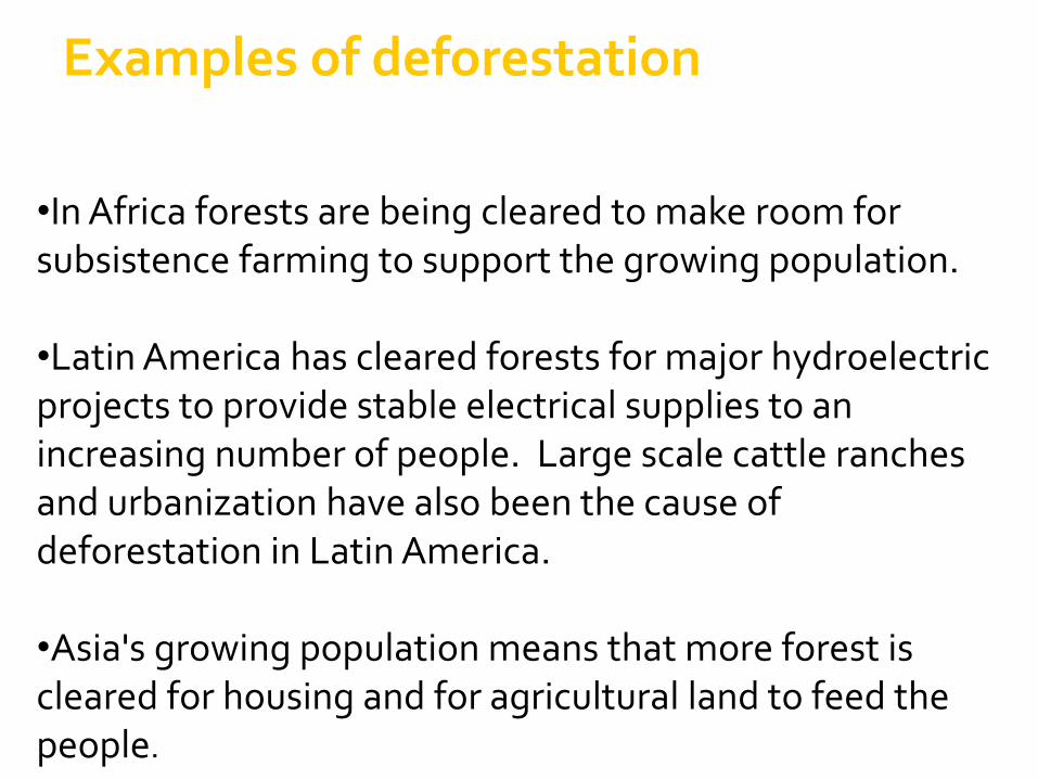
•In Africa forests are being cleared to make room for subsistence farming to support the growing population.
•Latin America has cleared forests for major hydroelectric projects to provide stable electrical supplies to an increasing number of people. Large scale cattle ranches and urbanization have also been the cause of deforestation in Latin America.
•Asia's growing population means that more forest is cleared for housing and for agricultural land to feed the people.
Examples of deforestation

In the activities section of this lesson you will use a world map showing deforestation trends. It is important that you be able to interpret this type of map as shown on p. 164 figure 10.2.
In this lesson you will: state the definition and description of clear
cutting state the definition and description of selective
cutting describe the differences between clear cutting
and selective cutting discuss the advantages and disadvantages of clear
cutting discuss the advantages and disadvantages of clear
cutting
Is a form of forest harvesting that removes all trees from an area.
Marketable trees and undesired trees alike are cleared and the land is left uncovered.
Strip cutting is actually a variation on clear cutting where strips of forest are left between the clear cut areas.

A form of forest harvesting that removes only the desired trees and leaves the other trees in place.
Immature trees, undesired species and underbrush is all left intact.
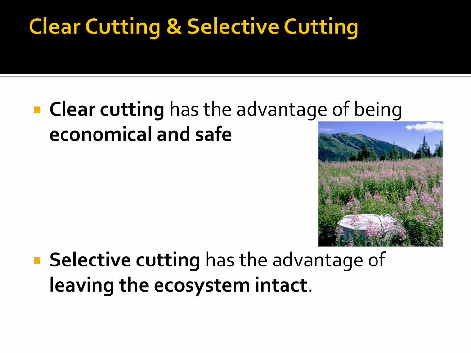
Clear cutting has the advantage of being economical and safe
Selective cutting has the advantage of leaving the ecosystem intact.
Sustainable forestry: Cutting forest at a rate that the forest will re-grow or be replanted. (If we cut trees faster than they grow back, we will run out of trees. )
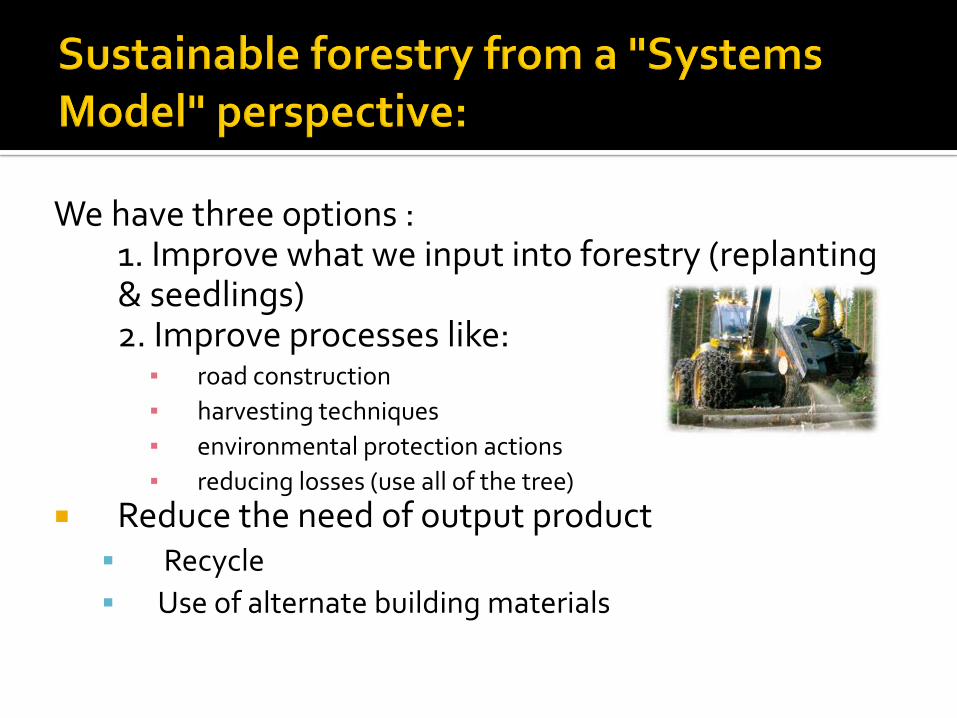
We have three options :1. Improve what we input into forestry (replanting & seedlings) 2. Improve processes like:
▪ road construction
▪ harvesting techniques
▪ environmental protection actions
▪ reducing losses (use all of the tree)
Reduce the need of output product Recycle
Use of alternate building materials
Assigned activities
Read " Case Study; Tree Harvesting in Various Ecosystems" p. 166-169
Complete Questions # 8-11 p. 168-169
This lesson consists of a case study specific to a region of British Columbia where the controversy over clear cutting has been raging for some time now.
Please go to the activities section and complete the case study there.
Systems Model & Offshore Oil

In this lesson you will: Analyze patterns in the location of off-shore oil
reserves, including the following delineations:
4.5.1 Explain how oil and gas are formed. (k)
4.5.2 Describe the techniques used to locate offshore oil and gas reserves. (k)
4.5.3 Analyze data to arrive at patterns in the distribution of proven oil and gas reserves. (a)

The formation of today’s oil began millions of years ago when plants and animals from the oceans died and settled on the ocean floor.
While large organisms contributed to the oil it was often the mass of small and microscopic organisms that contributed the bulk of the carbon for oil.
Over many thousands of years bacterial action and extreme pressure from layers of sediment converted the organic matter to oil & gas. The extreme pressure came form the continuous build up of sediment.
The pressure created tremendous amounts of heat which helped the process along.

The oil moved within the soil and oil reserves formed when non-porous rock lay above porous rock.
Oil seeps up through the porous rock & is trapped by the non-porous rock.

There are 4 types of oil reserves. You will notice that:
all four have a nonporous rock cap and a porous rock source.
The porous rock allows the oil to seep into the cavity and the nonporous rock prevents the oil from leaving
Fold Trap
Fault Trap
Salt Dome Trap
Stratigraphic trap
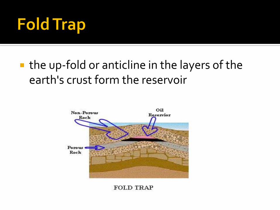
the up-fold or anticline in the layers of the earth's crust form the reservoir
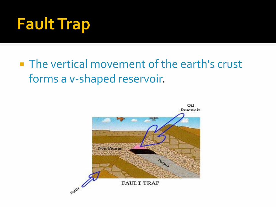
The vertical movement of the earth's crust forms a v-shaped reservoir.

The salt dome forms an up-fold in the earth's crust similar the anticline caused by tectonic forces.

Has a former limestone reef as its porous rock feeding the reservoir.
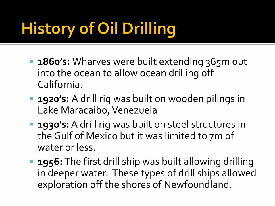
1860’s: Wharves were built extending 365m out into the ocean to allow ocean drilling off California.
1920’s: A drill rig was built on wooden pilings in Lake Maracaibo, Venezuela
1930’s: A drill rig was built on steel structures in the Gulf of Mexico but it was limited to 7m of water or less.
1956: The first drill ship was built allowing drilling in deeper water. These types of drill ships allowed exploration off the shores of Newfoundland.


4 different types of oil rigs used to recover oil from under the ocean floor:
Submersible Rigs
Jack-up Rigs
Semi-submersible Anchored rigs
Semi-submersible Dynamically Positioned
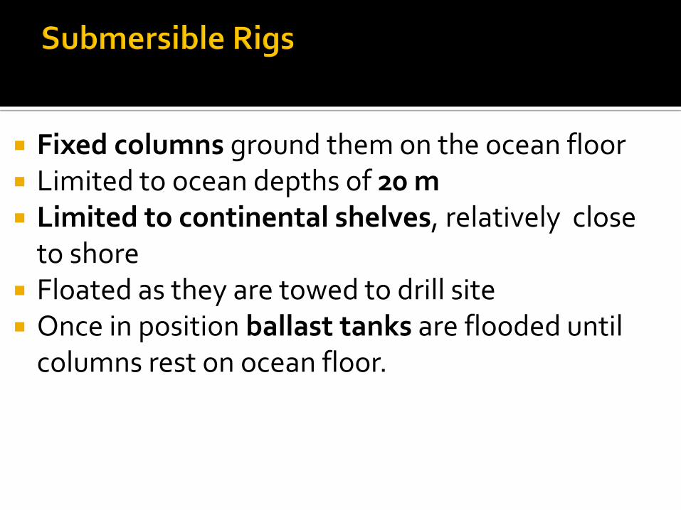
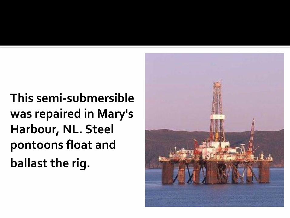
Fixed columns ground them on the ocean floor Limited to ocean depths of 20 m Limited to continental shelves, relatively close
to shore Floated as they are towed to drill site Once in position ballast tanks are flooded until
columns rest on ocean floor.

Extendable legs ground them on the ocean floor Able to drill in deeper water than submersible
rigs Limited to a maximum ocean depth of 100 m Similar to the submersible in that it rests on the
ocean floor. However its steel legs (not columns) rest on
ocean floor.


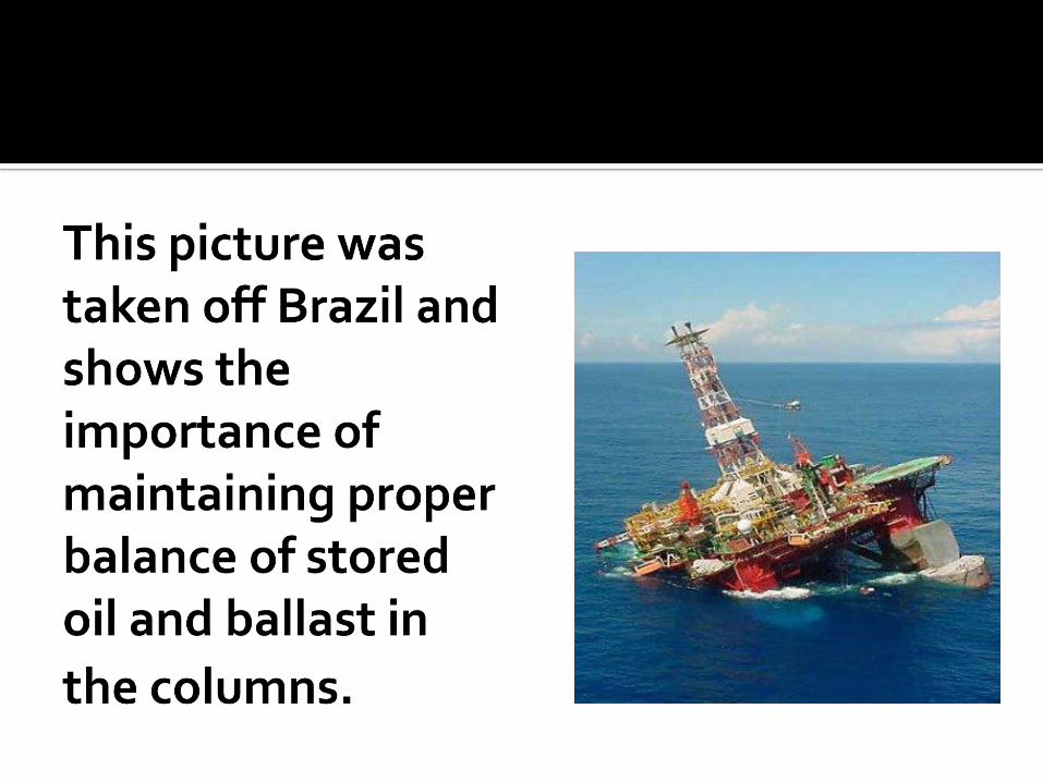
Anchored above the drill site Floats on the ocean Limited to a maximum ocean depth of 200 meters The rigs are built on land which is flooded upon
completion so the rig floats Rig is towed to the drill site Water is pumped in and out of ballast tanks to help
stability along with anchor lines . Oil is stored in pontoons until shipped on-shore.
Note: dynamic means changing or moving. These rigs are able to drill outside the continental
shelf. Still limited to a maximum ocean depth of 2000
meters. Towed to the drill site. Water is pumped in and out of ballast tanks to help
stability There are no anchor lines. Thrusters position the rig over the drill site. Oil is stored in pontoons until shipped on-shore.
Directional Drilling is depicted in figure 11.5 on page 187 of your text.
This technique allows drill companies to reduce movement from one small oil pocket to the next.
It also increases the drill holes’ exposure to source (porous) rock.

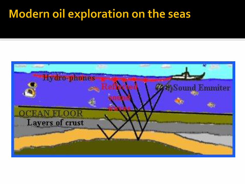
Ships tow sound emitters and hydrophones different rock layers reflect sound differently; computers convert the sound data into 3D pictures
of the ocean’s rock layers “Wild cat” wells are drilled to test for oil:
if they strike oil, delineating wells are drilled to determine the size of the reservoir;
if they miss oil then the core samples are examined for evidence of oil.
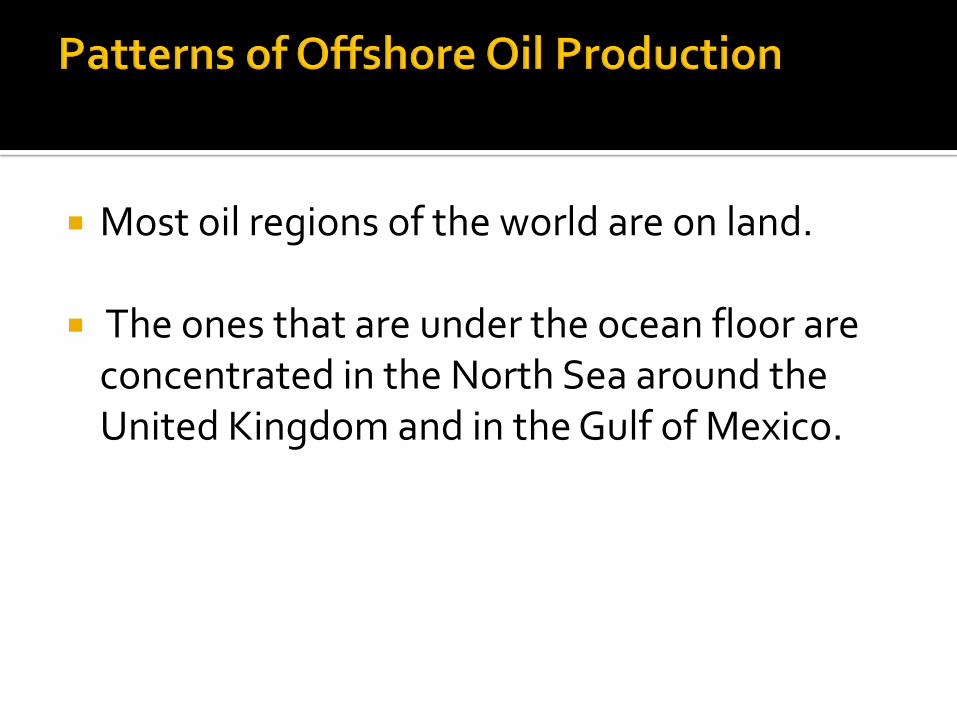
Most oil regions of the world are on land.
The ones that are under the ocean floor are concentrated in the North Sea around the United Kingdom and in the Gulf of Mexico.
The North Sea and the Gulf of Mexico are regions of high offshore oil production.
It also reveals that offshore oil production is increasing faster than land production of oil.
West Africa, especially around the Ivory Coast, seems to have high oil reserves and is increasing in oil production too.

In this lesson you will:
Describe physical factors that influence the decision to recover offshore oil and gas.
Describe human factors that influence the decision to recover offshore oil and gas.
The systems model is useful in helping determine the viability of an oil reserve.
The determination must be made whether cost of inputs and processing will be offset by the value of the output oil.
This lesson looks at the physical and human factors that influence the decision to recover oil and gas from an off-shore reserve.

Ocean related factors
Climate/weather related factors
Oil Related factors
Environmental protection factors
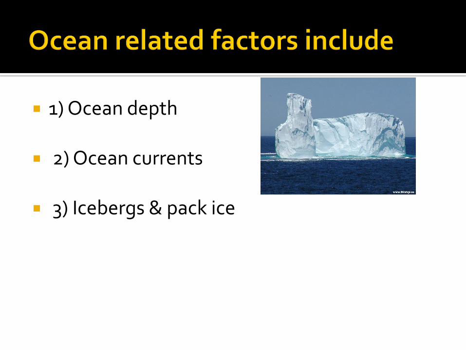
1) Ocean depth
2) Ocean currents
3) Icebergs & pack ice
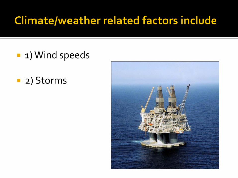
1) Wind speeds
2) Storms
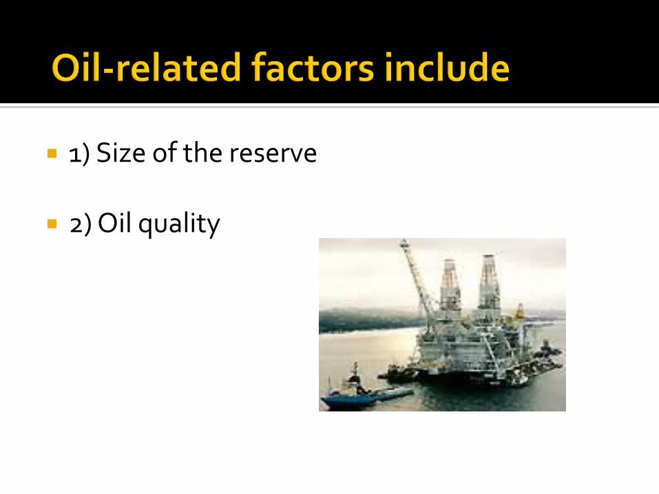
1) Size of the reserve
2) Oil quality
Question to consider: How do these other physical factors affect the chances of an oil spill?
Question to consider: How do these other physical factors affect the chances of an oil spill?
Answer: Other resources like fish stocks, marine mammals, and spawning grounds would be affected in the event of an oil spill.
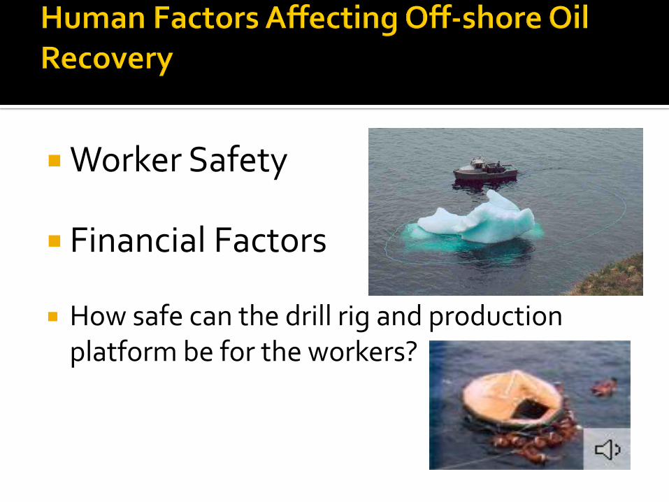
Worker Safety
Financial Factors
How safe can the drill rig and production platform be for the workers?
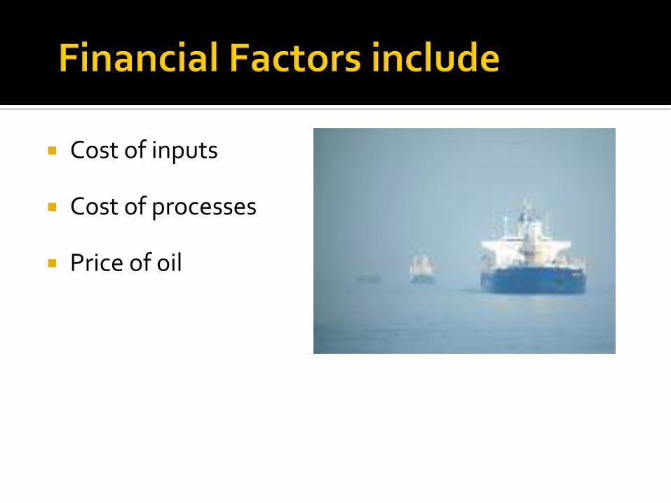
Cost of inputs
Cost of processes
Price of oil
Building a rig to withstand icebergs
Building a rig to drill at great depths
Building a production platform that can withstand hurricane winds

Transporting the oil from off-shore to land
Maintaining the platform's equipment
Pressurizing the reserve

This is set by world markets and determines if enough money is recovered from the oil to exceed the cost of production
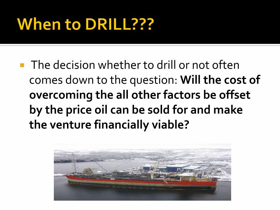
The decision whether to drill or not often comes down to the question: Will the cost of overcoming the all other factors be offset by the price oil can be sold for and make the venture financially viable?

Oil Price – Cost of Production = Profit
The cost of production and the price of oil are the two sides of the equation.
Production can not proceed unless the company has a good expectation of making a profit
Oil exploration is more accurate so less money is spent finding the oil
Production platforms are more efficient. Directional drilling has increased contact with
source rock and reduced the need for movement of production platforms.
Oil prices are controlled by the markets and OPEC (Oil Producing Economic Countries) When oil prices are high we complain at the pumps but the oil companies have a greater chance of making a profit.

The case study of Hibernia shows this equation well. While production costs were decreasing the price of oil was too low to make the project profitable.

Petro-Canada has a 27.5% working interest in the White Rose project, a $2.3 billion offshore development. The White Rose oil field is located 350 km east of St. John’s, Newfoundland and Labrador, Canada.
White Rose has a design capacity of 100,000 barrels per day, with an anticipated plateau production rate of 90,000 b/d.
Oil was successfully introduced into the process stream on the Sea Rose FPSO in November of 2005.
The White Rose field was expected to reach peak production of 100,000 b/d in the first half of 2006. Petro-Canada’s share of production will ramp up to 25,000 b/d at peak production.

http://www.huskyenergy.ca/whiterose/

Petro-Canada is the operator and 34% interest holder in the Terra Nova oil field development 350 kilometres off the coast of Newfoundland and Labrador.
Discovered in 1984 by Petro-Canada, the field is the second largest off Canada’s East Coast. Terra Nova is the first harsh environment development in North America to use a Floating Production Storage and Offloading (FPSO) vessel. Production from the field began in January 2002.

The Terra Nova Field has 440 million barrels of recoverable oil including 40 million barrels which will come from the Far East Development, approved in late 2005, and is expected to be on-stream in the first quarter of 2006. Plans are in place to achieve first quartile performance at the Terra Nova Field through an extended turnaround in 2006.

The Hibernia oil field was discovered in 1979. It lies under the Atlantic Ocean about 315 kilometres southeast of St. John's, Nfld. The oil is below 80 metres of water and 3,700 metres of ocean floor.
The Hibernia field is in the Jeanne d'ArcBasin in the northeast portion of the Grand Banks. A limited number of exploratory, or "wildcat", wells were drilled in the area before the Hibernia project got underway.
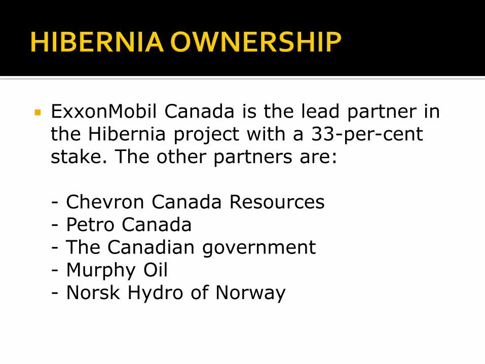
ExxonMobil Canada is the lead partner in the Hibernia project with a 33-per-cent stake. The other partners are:
- Chevron Canada Resources - Petro Canada - The Canadian government - Murphy Oil - Norsk Hydro of Norway
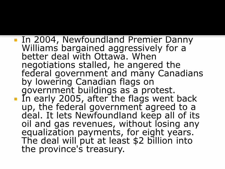
In 2004, Newfoundland Premier Danny Williams bargained aggressively for a better deal with Ottawa. When negotiations stalled, he angered the federal government and many Canadians by lowering Canadian flags on government buildings as a protest.
In early 2005, after the flags went back up, the federal government agreed to a deal. It lets Newfoundland keep all of its oil and gas revenues, without losing any equalization payments, for eight years. The deal will put at least $2 billion into the province's treasury.

Fishery Resources
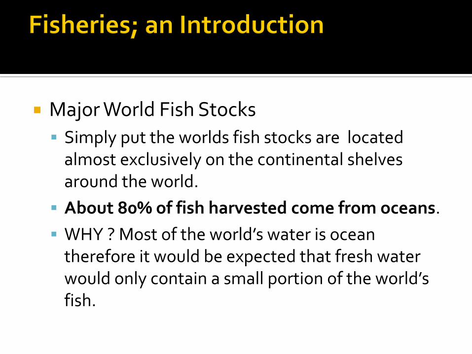
Major World Fish Stocks
Simply put the worlds fish stocks are located almost exclusively on the continental shelves around the world.
About 80% of fish harvested come from oceans.
WHY ? Most of the world’s water is ocean therefore it would be expected that fresh water would only contain a small portion of the world’s fish.
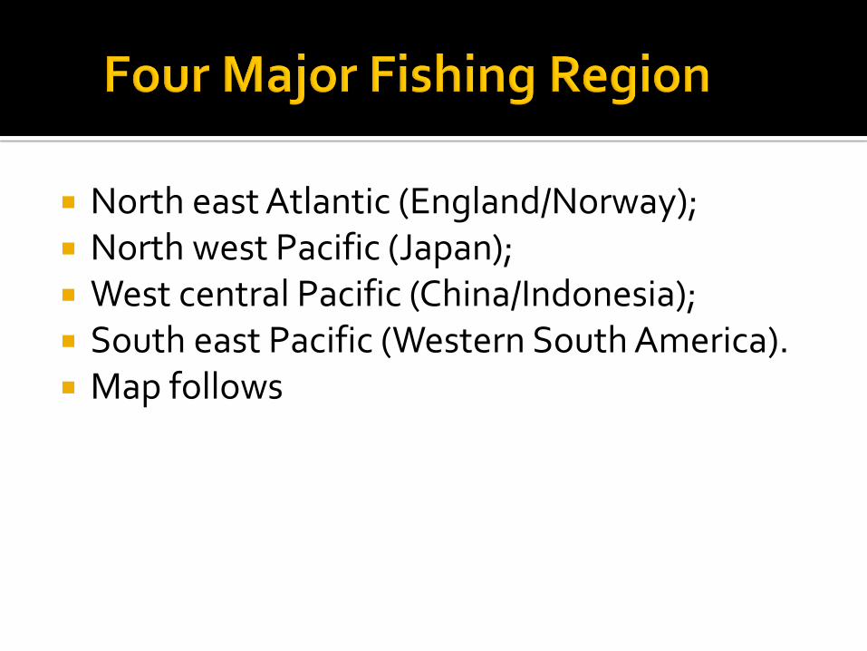
North east Atlantic (England/Norway); North west Pacific (Japan); West central Pacific (China/Indonesia); South east Pacific (Western South America). Map follows
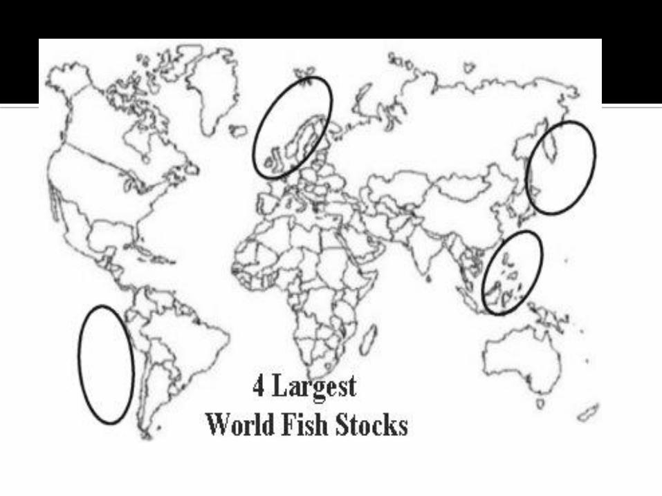

Most fishing grounds are found on continental shelves for 2 reasons:
1. The shallow waters of the shelf make harvesting more cost effective.
The fish have to be landed on shore for human use so the regions closer to shore are fished most profitably.
2. The shallow waters of the shelf promote plankton production which serve as the base of the marine food web including fish.
Shallow water ensures enough light for phytoplankton and effective circulation of nutrients.
(See figure 12.4 on page 200. Figure 12.6, page 202 shows stocks correspond to shelves & figure 12.4 shows food web and shelves.)
Describe the major sources of ocean pollution
Discuss issues regarding fisheries management
Describe the impact on fishers' lives
Fisheries Management
pollution
conservation of fish stocks
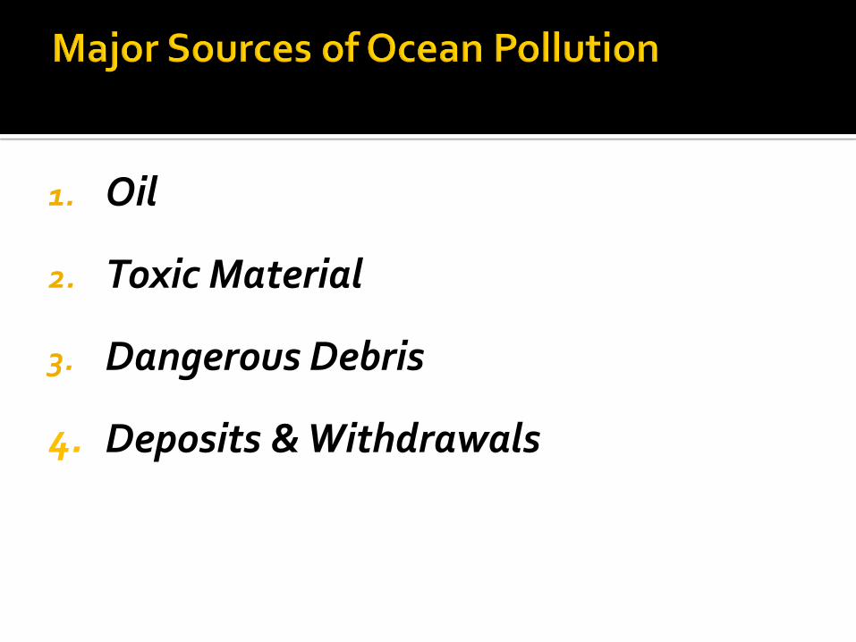
1. Oil
2. Toxic Material
3. Dangerous Debris
4. Deposits & Withdrawals
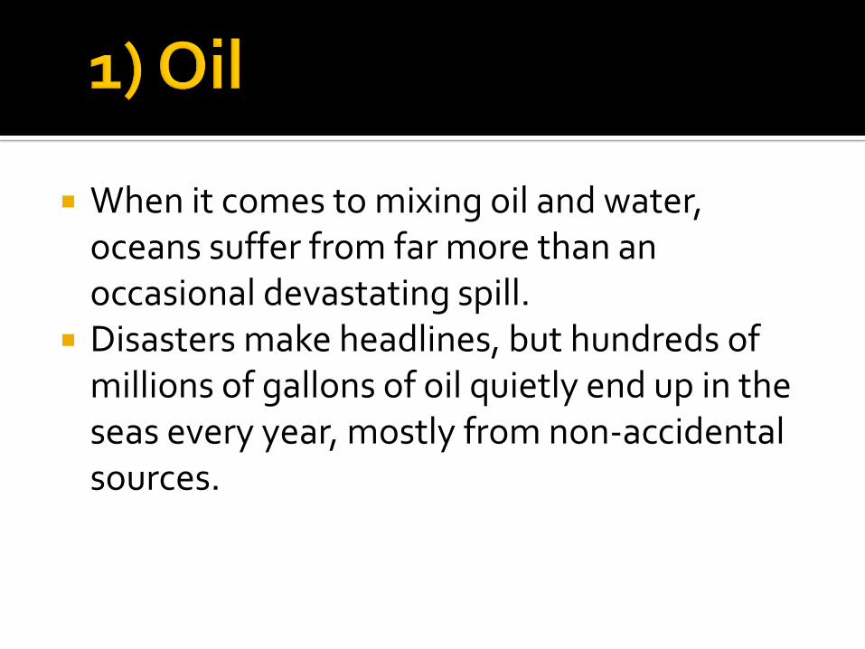
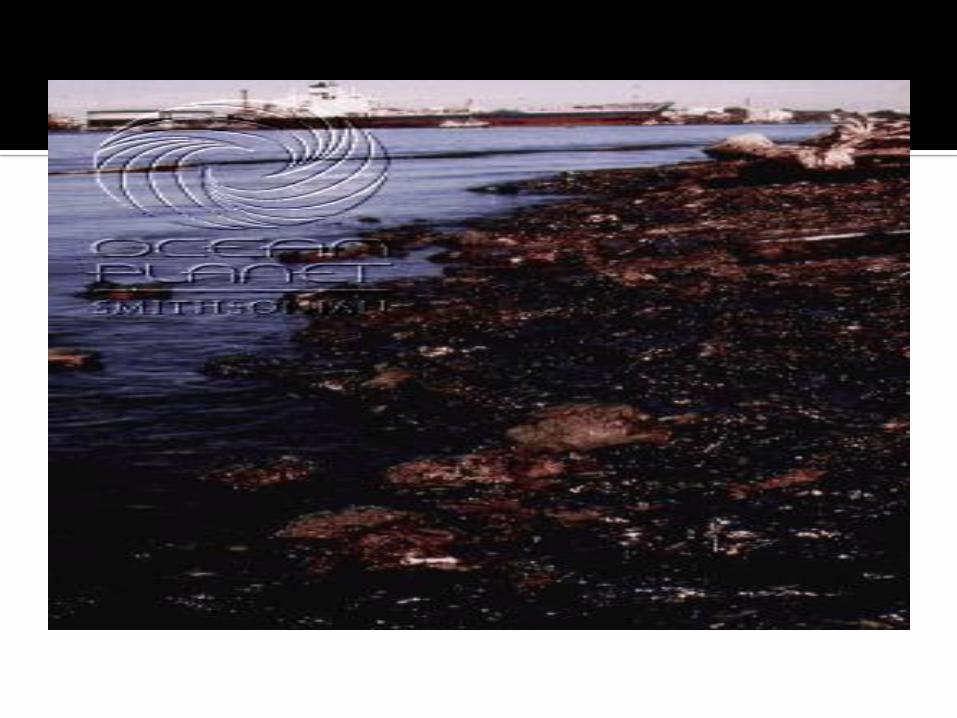
When it comes to mixing oil and water, oceans suffer from far more than an occasional devastating spill.
Disasters make headlines, but hundreds of millions of gallons of oil quietly end up in the seas every year, mostly from non-accidental sources.


Industrial, agricultural, household cleaning, gardening, and automotive products regularly end up in water.
About 65,000 chemicals are used commercially in North America today, with about 1,000 new ones added each year. Only about 300 have been extensively tested for toxicity.
TBT, or tributyl tin, is added to boat paints to kill or repel barnacles and other nuisance organisms that foul ships' hulls.

Our trash kills. When odds and ends of life on land-- particularly plastics--end up in the sea, they pose hazards to marine life.
Animals drown or strangle from getting tangled in discarded or lost fishing gear, or suffer and even die from eating plastics and other garbage.


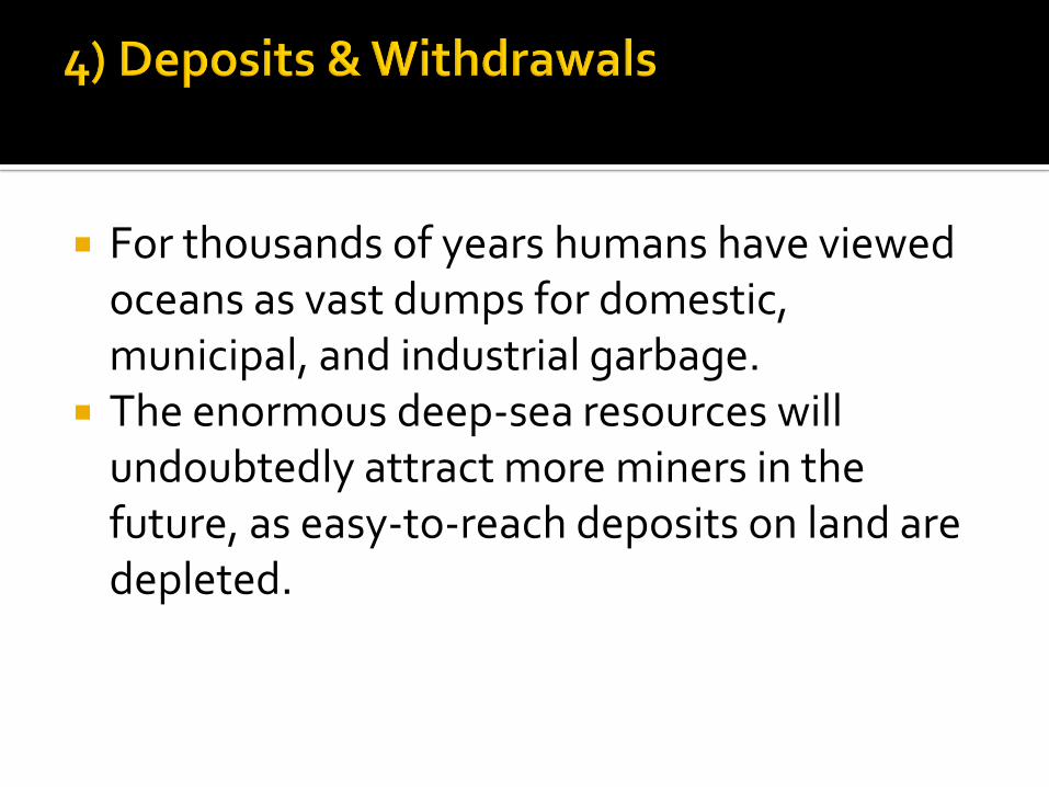
For thousands of years humans have viewed oceans as vast dumps for domestic, municipal, and industrial garbage.
The enormous deep-sea resources will undoubtedly attract more miners in the future, as easy-to-reach deposits on land are depleted.
Factory freezer trawlers have likely had the most significant and negative impact.
They are highly efficient at catching fish which greatly reduces the population & reproduction. Large diesel engines, echo sounding equipment, onboard freezers, and GPS navigation contribute to their efficiency.
Destruction of the ocean floor by trawls/draggers eliminates good spawning locations for fish. Furthermore it disperses eggs, making fertilization more difficult.

By-catch is often discarded. Some regulations require ships to return with low levels of by catch.
Traveling great distances and being able to stay at sea for long periods allows trawlers from all over the world to congregate in good fishing areas. This puts added pressure on the fish stocks.

Fishers may concentrate more on conservation. Fishers and the community they live in will have to
diversify: develop aquaculture. Ex. Bay D'Espoir (NL south coast)
sea weed aquaculture. Ex. Isle aux Morts (NL southwest coast)
eco-tourism. Ex: Whale-watching, iceberg tours
catch underutilized species

Read the case study "Empty Seas" p. 211-212 Complete the questions #16-19 p. 212