Reaching the Bottom Jessie Conley. Over 71% of the earth is covered by ocean. Average depth is 3,720...
13
Reaching the Bottom Jessie Conley
-
Upload
shawn-wells -
Category
Documents
-
view
219 -
download
3
Transcript of Reaching the Bottom Jessie Conley. Over 71% of the earth is covered by ocean. Average depth is 3,720...

Reaching the BottomReaching the Bottom
Jessie ConleyJessie Conley

• Over 71% of the earth is covered by ocean.
• Average depth is 3,720 meters deep
• Over 71% of the earth is covered by ocean.
• Average depth is 3,720 meters deep

How do we locate the bottom?
How do we locate the bottom?
Single Beam Sonar
Side Scan Sonar
Multibeam Sonar
Satellite Altimetry
Single Beam Sonar
Side Scan Sonar
Multibeam Sonar
Satellite Altimetry

Single Beam SonarSingle Beam Sonar
Developed in 1920’s-30’s
Used for bathymetry mapping and determination of bottom type
Transducer sends out a signal and measures time to receive echo back
Developed in 1920’s-30’s
Used for bathymetry mapping and determination of bottom type
Transducer sends out a signal and measures time to receive echo back

Single Beam SonarSingle Beam Sonar
Mapping restricted to
single line of data
Dark blue represents deeper regions
Mapping restricted to
single line of data
Dark blue represents deeper regions

Side Scan SonarSide Scan Sonar
Developed in 1960’s
Bottom type determination
Sends out signals 90 degrees from sonar
Images made based on strength of reverberated signal
Developed in 1960’s
Bottom type determination
Sends out signals 90 degrees from sonar
Images made based on strength of reverberated signal

Side Scan SonarSide Scan Sonar
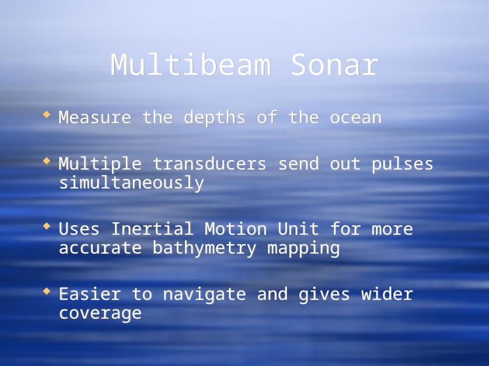
Multibeam SonarMultibeam Sonar
Measure the depths of the ocean
Multiple transducers send out pulses simultaneously
Uses Inertial Motion Unit for more accurate bathymetry mapping
Easier to navigate and gives wider coverage
Measure the depths of the ocean
Multiple transducers send out pulses simultaneously
Uses Inertial Motion Unit for more accurate bathymetry mapping
Easier to navigate and gives wider coverage

Multibeam SonarMultibeam Sonar

Locating the AlligatorLocating the Alligator
The Navy’s first submarine which sunk near Cape Hatteras
http://www.youtube.com/watch?v=QRGW99QZoeE
The Navy’s first submarine which sunk near Cape Hatteras
http://www.youtube.com/watch?v=QRGW99QZoeE

Satellite AltimetrySatellite Altimetry
Quicker bathymetry mapping, but less accurate
The various bumps and ridges on the ocean surface mimic the ocean floor below them
Sends microwaves that hit the surface of the ocean and measures the patterns
Quicker bathymetry mapping, but less accurate
The various bumps and ridges on the ocean surface mimic the ocean floor below them
Sends microwaves that hit the surface of the ocean and measures the patterns

Satellite AltimetrySatellite Altimetry

Satellite AltimetrySatellite Altimetry