Ratcliffe Texas Demographic Conference Presentation · 2. Geographic Area Programs for the 2020...
21
Update on Geographic Area Programs for the 2020 Census Michael Ratcliffe Geography Division US Census Bureau Texas Demographic Conference Austin, Texas June 5, 2019
Transcript of Ratcliffe Texas Demographic Conference Presentation · 2. Geographic Area Programs for the 2020...

Update on Geographic Area Programs for the 2020 Census
Michael RatcliffeGeography DivisionUS Census Bureau
Texas Demographic ConferenceAustin, TexasJune 5, 2019

Update on Geographic Area Programs
In this presentation:• Geographic Area Programs for the 2020 Census• Update on the Participant Statistical Areas Program
– Census Designated Places in Texas– Colonias and Census Designated Places
• Changes to Metropolitan and Micropolitan Statistical Areas• Thoughts on Urban and Rural
2

Geographic Area Programs for the 2020 Census
• Boundary and Annexation Survey– Annual review and update of boundaries for states, counties, and incorporated places; new
incorporations, disincorporations, and changes in status.
• Participant Statistical Areas Program– Review and update of block groups, census tracts, census designated places, and census county
divisions as well as tribal statistical areas.
• Boundary Validation Project– Opportunity for highest elected officials to review and approve boundaries for use in tabulating
2020 Census data.
• ZIP Code Tabulation Area (ZCTA) Update• Public Use Microdata Areas (PUMA) Delineation• Urban Area Delineation
3

Participant Statistical Areas Program Overview
• Allows invited participants to review and update selected statistical area boundaries for 2020 Census data tabulation using Census Bureau criteria and guidelines.
• The Census Bureau uses the defined statistical areas for the 2020 Census, American Community Survey, and the Economic Census data.
Tribal statistical geographies:• Tribal census tracts (TCTs)• Tribal block groups (TBGs)• Census designated places (CDPs)• Tribal Designated Statistical Areas (TDSAs)• State Designated Tribal Statistical Areas (SDTSAs)• Alaska Native village statistical areas (ANVSAs)• State reservations (legal entities)• Oklahoma tribal statistical areas (OTSAs) and
associated tribal subdivisions.
Standard statistical geographies:• Census tracts (CTs)• Block groups (BGs)• Census designated places (CDPs)• Census county divisions (CCDs) in
selected states

PSAP Verification High Level Timeline
Month Activities
June 2019 Delineation submission deadline (end of May).
June‐September 2019 Finalize processing of PSAP submissions and updating of the TIGER database.
October 2019 Complete and approve verification materials for participants.
January 2020 Verification materials mail out.Begin participant verification.
April 2020 Verification update submission deadline.
July 2020 Complete processing and updating of the TIGER database with verification updates.

Participant Statistical Areas Program (PSAP) Overviewhttps://www.census.gov/programs‐surveys/decennial‐census/about/psap.html
6
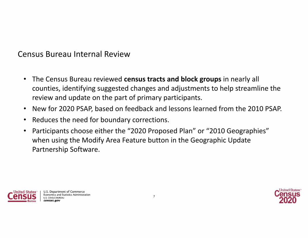
Census Bureau Internal Review
• The Census Bureau reviewed census tracts and block groups in nearly all counties, identifying suggested changes and adjustments to help streamline the review and update on the part of primary participants.
• New for 2020 PSAP, based on feedback and lessons learned from the 2010 PSAP.• Reduces the need for boundary corrections.• Participants choose either the “2020 Proposed Plan” or “2010 Geographies”
when using the Modify Area Feature button in the Geographic Update Partnership Software.
7

Census Tract Thresholds
Census Tract Types
Description Population Thresholds
Housing Unit Thresholds
Area Measurement Thresholds
Employment Threshold
Standard Census Tract
Small statistical subdivisions of counties; emphasis on comparability over time to facilitate longitudinal analysis.
Optimum: 4,000 Min: 1,200 Max: 8,000
Optimum: 1,600 Min: 480 Max: 3,200
None NA
Special Use Census Tract
A census tract encompassing an employment center, large airport, public park, public forest, or large water body with no (or very little) population or housing units.
None (or very little) or within the standard census tract threshold
None (or very little) or within the standard census tract threshold
At least comparable in size to surrounding standard census tracts
Suggested minimum of 1,200 workers or jobs when encompassing employment centers.
8

Block Group – ThresholdsBlock Group Types
Description Population Thresholds
Housing Unit Thresholds
Area Measurement Thresholds
Employment Threshold
Standard Block Groups
Subdivisions of census tracts; smallest geographic area for which ACS data are tabulated and disseminated.
Min: 600Max: 3,000
Min: 240Max: 1,200
None NA
Special Use Block Groups
A block group, usually coextensive with a special use census tract, encompassing an employment center, large airport, public park, public forest, or large water body with no (or very little) population or housing units.
None (or very little) or within the standard block group thresholds
None (or very little) or within the standard block group thresholds
At least comparable in size to surrounding standard block groups
Suggested minimum of 600 workers or jobs.
9

Census Designated Places (CDPs) – Overview
• Statistical geographic entities representing closely settled, unincorporated communities that are locally recognizable and identifiable by name.
• Statistical equivalents of incorporated places.
• 538 CDPs defined in Texas for the 2010 Census.
• 524 CDPs, as of 2018.• 49 new CDPs defined for the
2020 Census.
10

New Texas CDPs for the 2020 Census (as of May 30)
11
Alamo Beach CDPAlanreed CDPBivins CDPBledsoe CDPBluff Dale CDPBrazos CDPBriggs CDPBrookston CDPBushland CDPCarlton CDPCarter CDPDennis CDPDime Box CDPEast Columbia CDPFarnsworth CDPFlat CDP
Forest Heights CDPGarner CDPGlazier CDPHamshire CDPHuckabay CDPLamkin CDPLelia Lake CDPLingleville CDPLittle Cypress CDPLoving CDPMagnolia Beach CDPMay CDPMcLeod CDPMosheim CDPMound CDPPaige CDP
Pendleton CDPPetty CDPPlum CDPProctor CDPRinggold CDPSanto CDPSargent CDPSheffield CDPShelbyville CDPSummerfield CDPUmbarger CDPWaka CDPWashburn CDPWhitharral CDPWildorado CDPWillow Grove CDP

Census Designated Places and Colonias
• For the 2010 Census, 245 CDPs contained approximately 750 colonias.
• We have received a boundary file with information for 2,070 colonias and are currently reviewing it in relation to current incorporated places and CDPs.
12

Texas Places and Colonias
El Paso County Places and Colonias Webb County Places and Colonias
13

Texas Places and Colonias
Hidalgo County Places and Colonias Cameron County Places and Colonias
14

Relationships between colonias and places
15
• Sullivan City contains 12 colonias.• Cuevitas CDP contains Cuevitas
colonia.• Los Ebanos CDP contains Los
Ebanos colonia.• Quesada CDP contains Quesada
colonia.• Nina CDP contains Nina colonia.• Valle Vista Subdivision and
Rancho Subdivision colonias are not within any CDPs.

Metropolitan and Micropolitan Statistical Areas Changes, September 2018
Changes to county components of metropolitan and micropolitan statistical areas:• Alice micro area added Duval County.• Beaumont‐Port Arthur metro area lost Newton County.• Corpus Christi metro area lost Aransas County (to new Rockport micro area).• Dallas‐Fort Worth metro area lost Hood County (to new Granbury micro area) and Somervell County.• Huntsville micro area lost Trinity County.• Longview metro area added Harrison County (formerly Marshall micro area).• Mount Pleasant micro area added Camp County.• Pampa micro area added Roberts County.• Pecos micro area added Loving County.• San Angelo metro area added Sterling County.
Name change: Rio Grande City Micropolitan Statistical Area is now Rio Grande City‐Roma.
16

Metropolitan and Micropolitan Statistical Areas Changes, September 2018
New micropolitan statistical areas:• Granbury, TX (Hood County)• Pearsall, TX (Frio County) [added in April 2018]• Rockport, TX (Aransas County)
Deleted micropolitan statistical area:• Marshall, TX (Harrison County– merged with Longview Metropolitan Statistical Area)
17

Urban and Rural Classification
Reviewing criteria for the 2020 Census delineation of urban and rural areas:• We are reviewing the hop, jump, and impervious surface aspects of the criteria.
– Return maximum jump distance to 1.5 miles.– Review the sequence in which hop, jump, and impervious surface criteria are applied.
• Is 2,500 still an appropriate minimum threshold for identifying urban areas?
• In addition, further consideration is needed regarding ways to identify and classify different kinds of rural communities, settlement patterns, and levels of rurality:– Rural Metropolitan, Rural Micropolitan, Rural Non‐Metro/Micro?– Distinctions based on population density?– Distinctions based on proximity to/distance from urban centers of various sizes?– Categories that provide more insight into context?
18

Considering New Approaches to Defining Urban and Rural Areas
• Incorporates the Tract‐Level Urban/Rural classification into the Proportional Rurality classification– Examples:• Rural Tracts within
Mostly Rural Counties• Rural Tracts within
Mostly Urban Counties• Urban Tracts within
Mostly Rural Counties
19

20
Frontier and Remote AreasMeasuring Distance and Isolation

Michael RatcliffeAssistant Division Chief for Geographic Standards, Criteria, Research, and QualityGeography Division
Thank You
21
United States Department of CommerceBureau of the Census4600 Silver Hill Rd.Suitland, Maryland 20233
Office 301‐763‐[email protected]